Best Snowmobile in Pennsylvania
Trying to find the best snowmobile in Pennsylvania? Bivy has great hiking, biking, paddling, climbing, skiing, riding and more, with hand-curated trail maps, as well as detailed driving directions.
Pennsylvania, Clinton County
02 :24 hrs
12.5 mi
120.83197 ft
Unknown
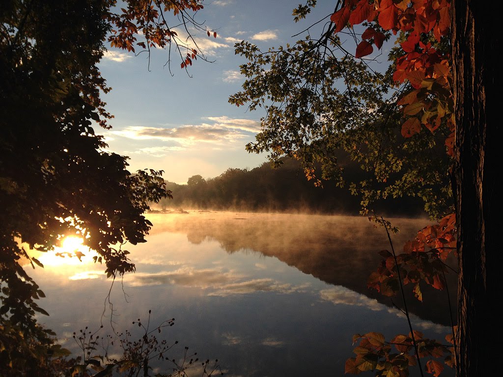
Located in Hyner Run State Forest, this route follows Benson Trail and down to the viewpoint of Hyner State Park. Some sections are open for joint use by snowmobiles and motor vehicles. Other trails branch off and you’ll pass a few trailheads.
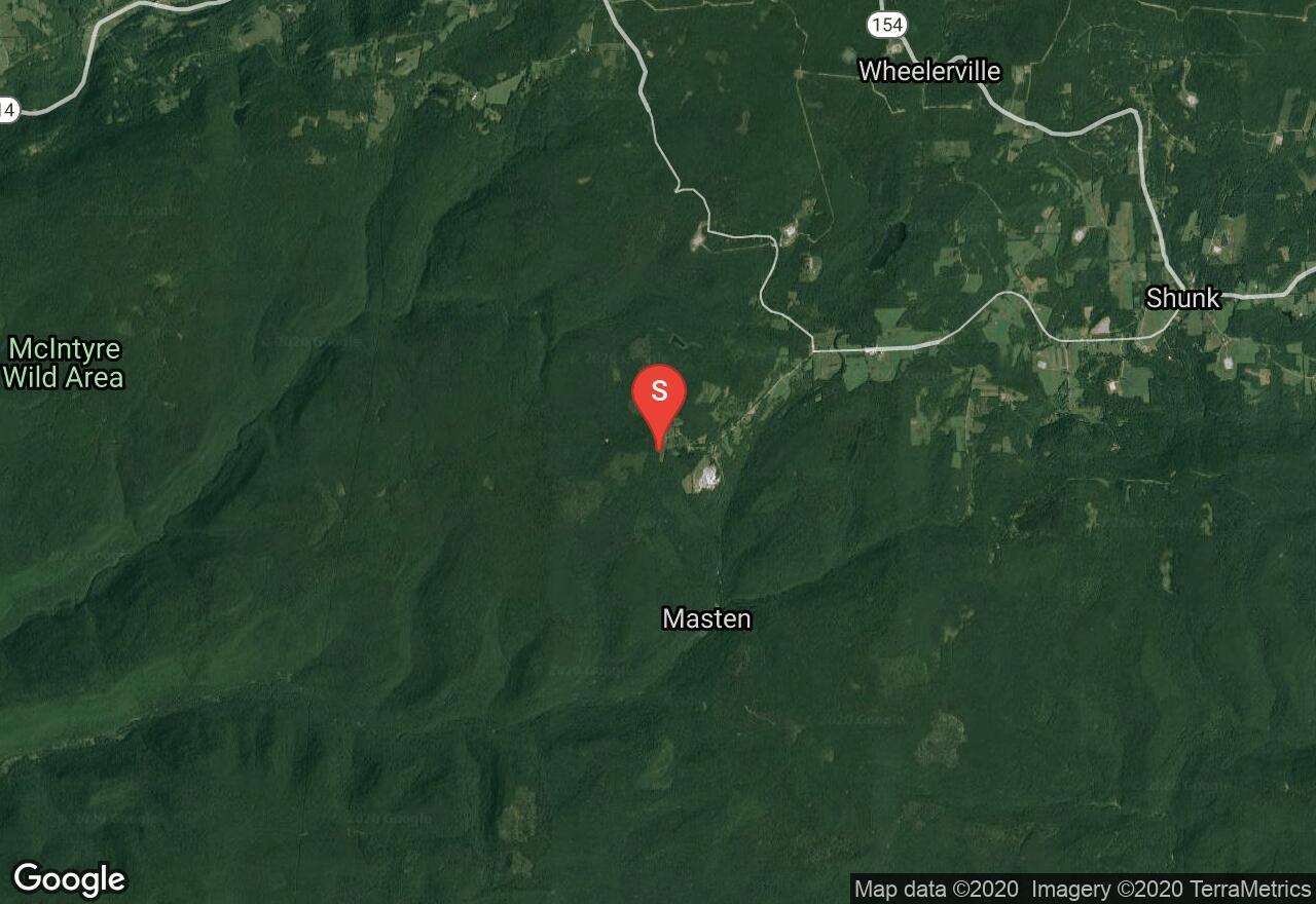
Pennsylvania, Lycoming County
01 :11 hrs
6.3 mi
393.578 ft
Unknown
Located in Loyalsock State Forest, this trail follows Little Bear Creek Road which is a joint-use trail used by snowmobiles and motor vehicles for a while. There are 2-3 turn spur roads that offer more exploring and are designated for snowmobiles only.
Pennsylvania, Clearfield County
01 :28 hrs
7.5 mi
62.025024 ft
Unknown
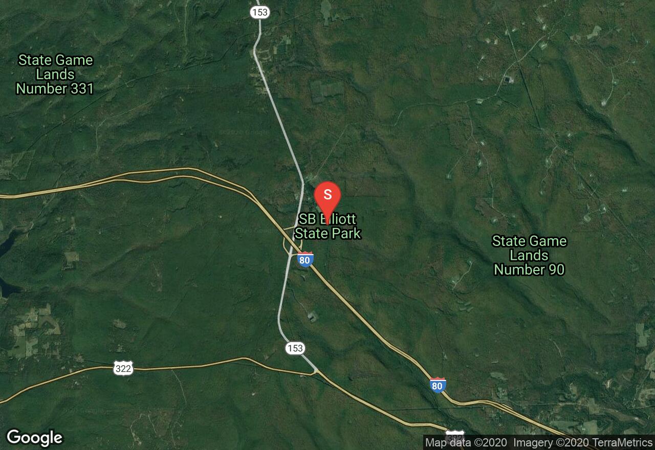
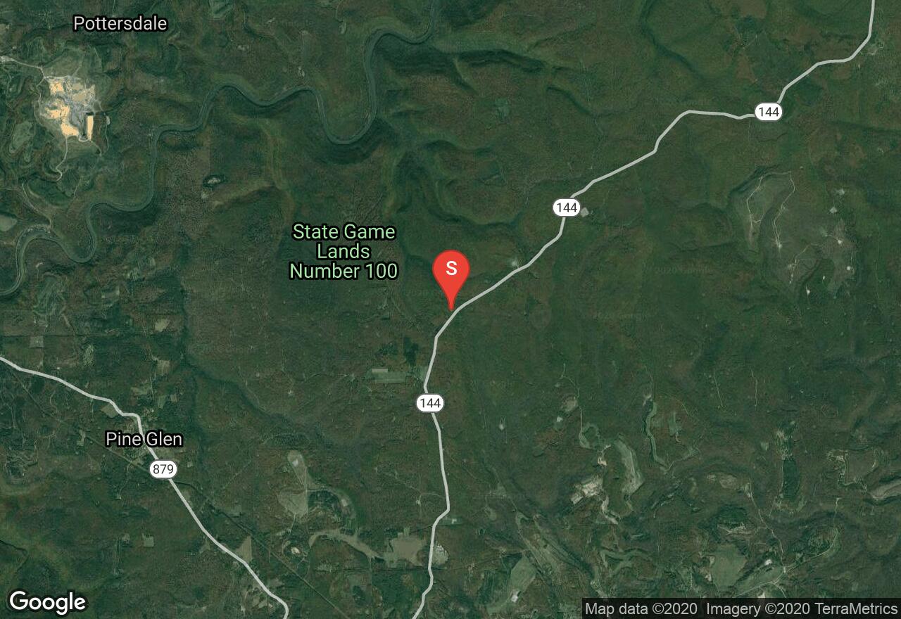
Simon B. Elliott State Park offers beautiful winter scenery for snowmobiling and cross country skiing during the winter months. This trail follows Fourmile Road and then turns down McGeorge Road. It is open to snowmobiles only. There are other trails that connect to it for additional exploring.
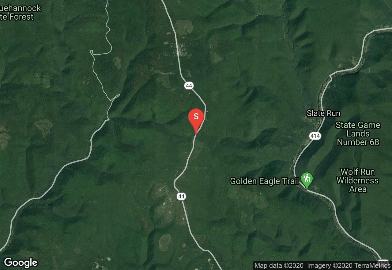
Pennsylvania, Lycoming County
01 :19 hrs
6.8 mi
108.15701 ft
Unknown
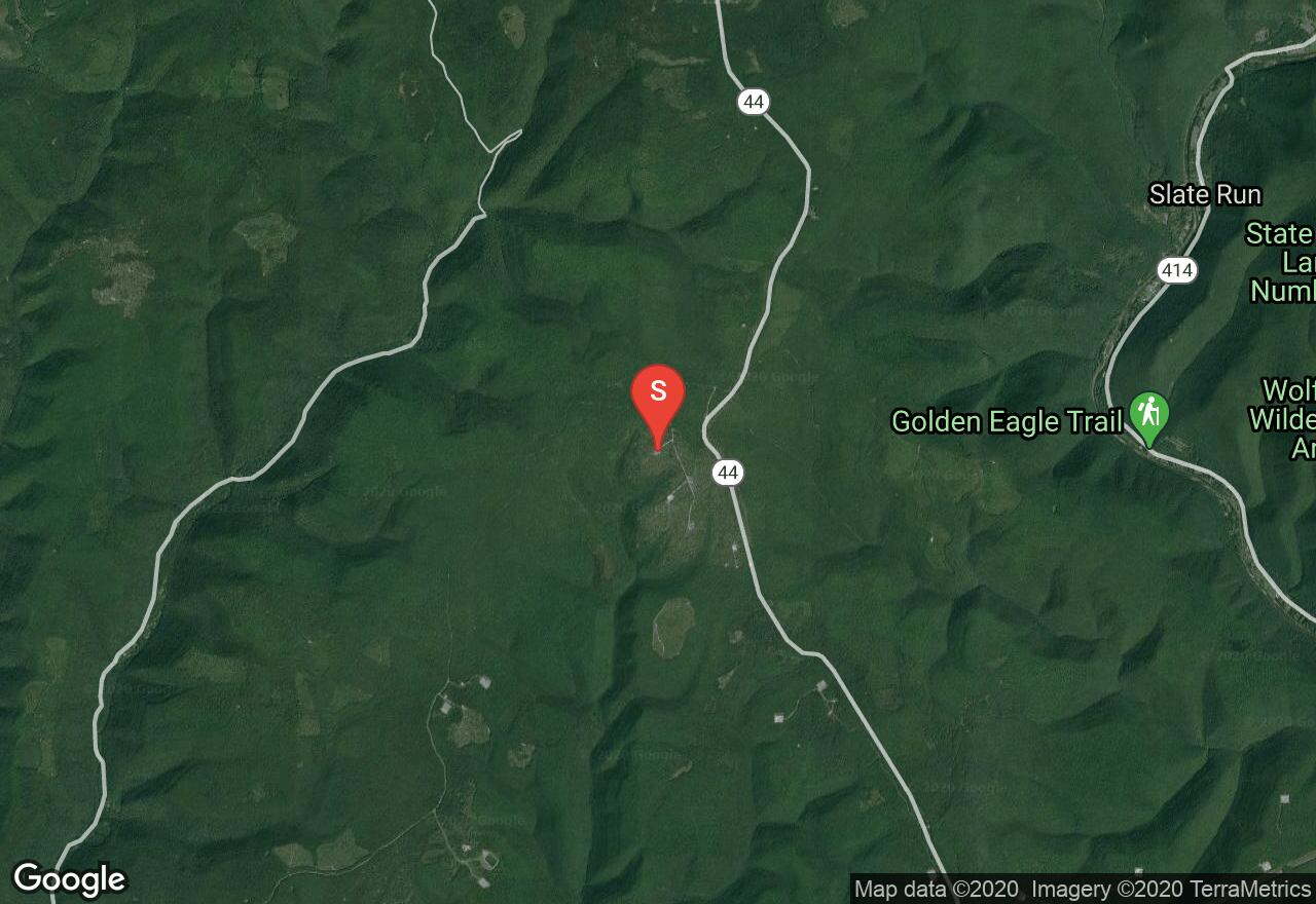
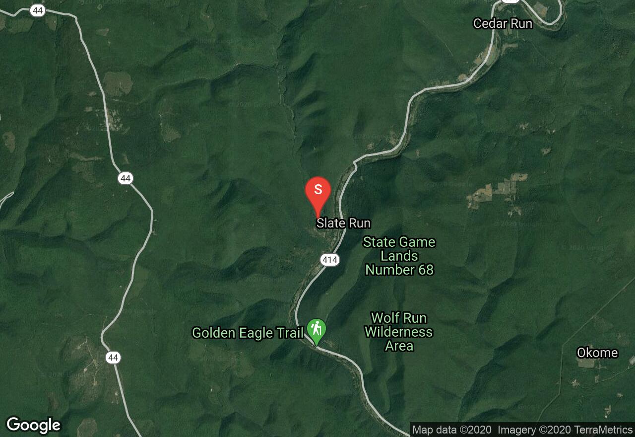
Located in Tiadaghton State Forest, this trail follows Slate Run Road and then Francis Road. It is a joint-use trail used by snowmobiles and motor vehicles so extra caution is advised.
Pennsylvania, Sullivan County
00 :54 hrs
9.4 mi
68.24603 ft
Unknown
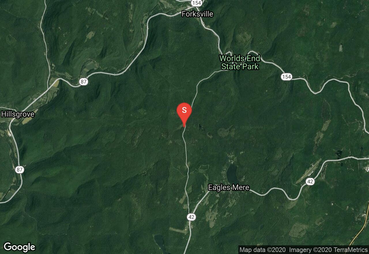
The trail to High Knob Overlook follows a joint-use trail used by snowmobiles and motor vehicles. You can also turn off to Dry Run Road and get to Ogdonia. Restrooms are provided at the parking lot and the overlook.
Pennsylvania, Burnside township
01 :20 hrs
6.8 mi
114.61896 ft
Unknown
This Snowmobile Rail Trail is located in Sproul State Forest and follows the Pipeline Trail. It begins at the south end of the forest and travels northeast.
Pennsylvania, Curtin township
01 :53 hrs
9.8 mi
439.204 ft
Unknown
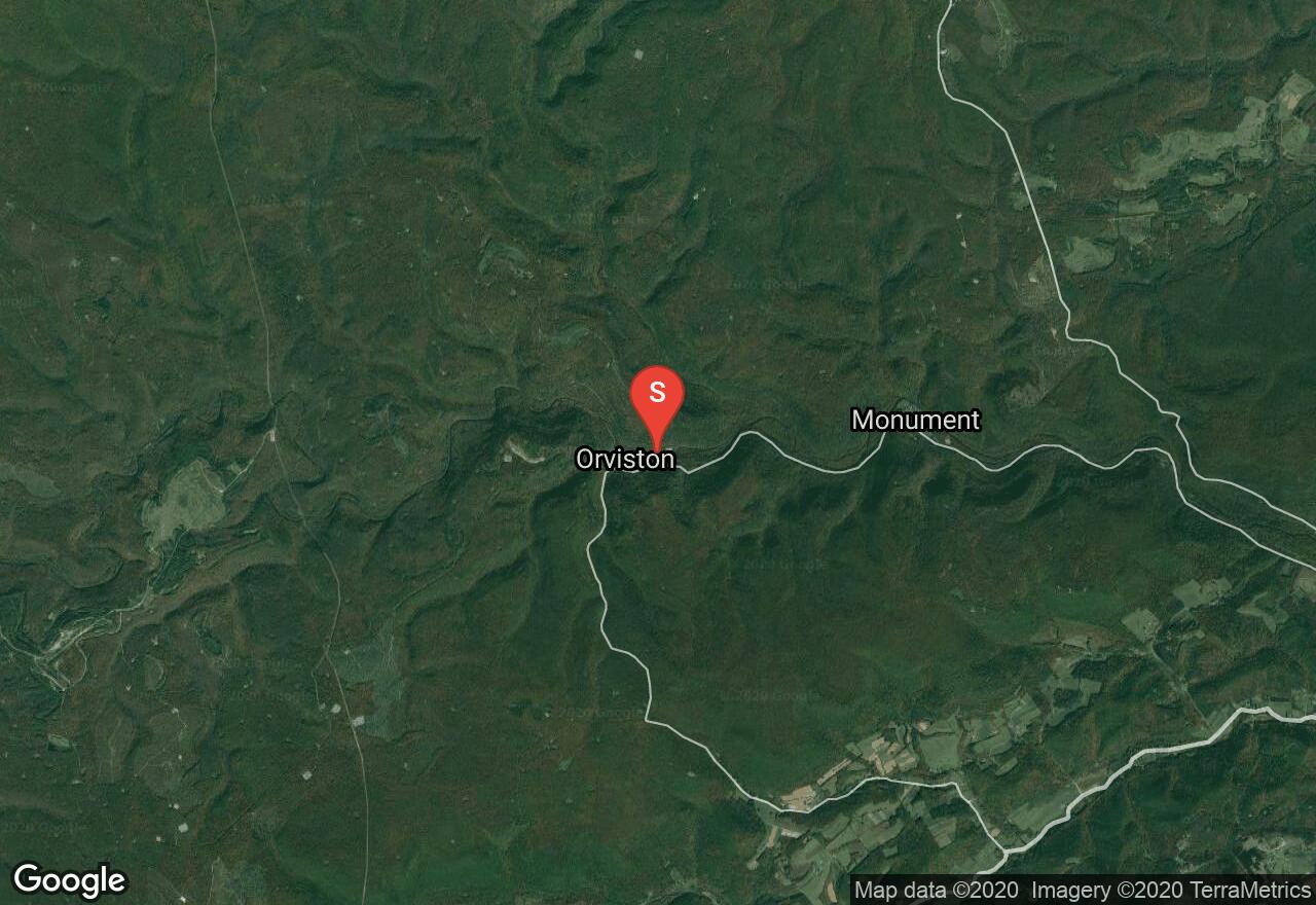
Beginning in Orviston, this route follows the De Haas Road which is a joint-use road used by snowmobiles and motor vehicles. It travels through Sproul State Forest and offers beautiful winter scenery. Once you reach Hwy 144, you have a few different options for additional riding or can return on the road you came.
Pennsylvania, Lycoming County
00 :56 hrs
4.9 mi
291.66602 ft
Unknown
Located in Ellenton, this route follows Ellenton Ridge Road on a joint-use trail used by snowmobiles and motor vehicles. You can also turn off and follow the Krimm Road which is designated to snowmobiles only.
Pennsylvania, Lycoming County
00 :59 hrs
5.1 mi
87.151 ft
Unknown
Big Trail Road begins at the Pump Station Tower. It follows a joint-use trail used by snowmobiles and motor vehicles. You can also head north from this parking lot and have access to other trails.
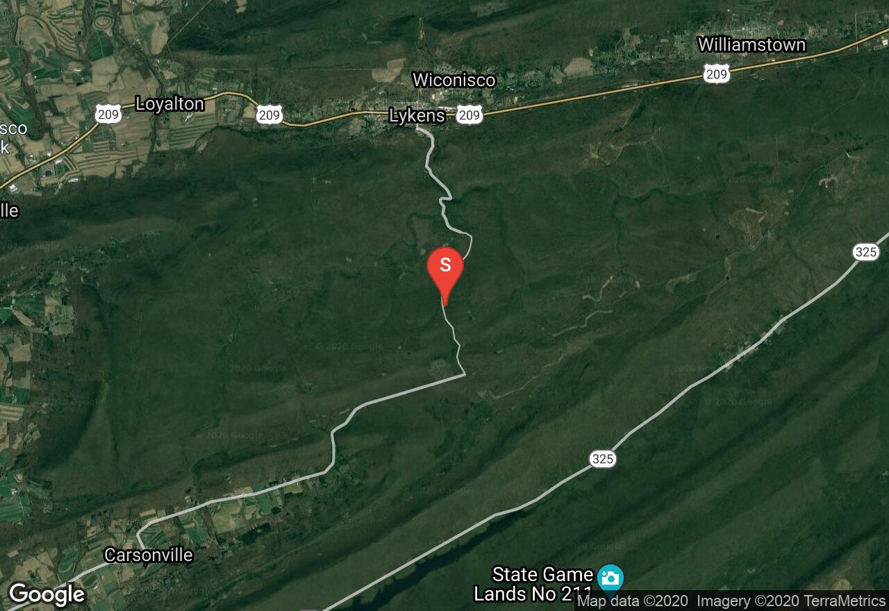
Pennsylvania, Dauphin County
01 :03 hrs
5.4 mi
92.224 ft
Unknown
Lukes Trail is located in the Weiser State Forest which offers over 20 miles of groomed roads and shared trails. They are open from the 3rd week in January till April 1st. Stay on the trails and be respectful of rules.
See more adventures..
Explore complete list
Explore nearby adventures

