Best Off Road in Oregon
Trying to find the best off road in Oregon? Bivy has great hiking, biking, paddling, climbing, skiing, riding and more, with hand-curated trail maps, as well as detailed driving directions.
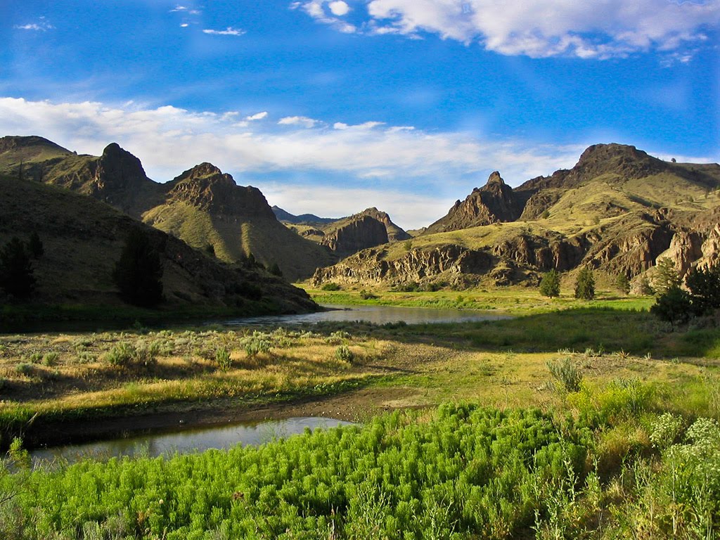
Oregon, Klamath County
00 :05 hrs
0.8 mi
- ft
Unknown
Klamath Sportsman’s Park is a small park with an MX track, obstacle course, and some play areas. The obstacle course has rocks, tires, see-saw ramps, and puddles. It gets groomed occasionally and the MX track has some sharp lips, big doubles, and long tabletops. A spark arresting exhaust silencer or end cap is required and an Oregon ATV Permit sticker.

Oregon, Deschutes County
00 :11 hrs
1 mi
174.52112 ft
Unknown
Beginning at Dutchman Flat Sno-Park, this trail explores Mt. Bachelor. There are 200 miles of groomed snowmobile trails that explore the pine forest and up to the treeline. Trails are also shared with cross-country skiers so be cautious. A sno-park permit is required from November 15-April 30 and can be purchased at the DMV.

Oregon, Deschutes County
03 :42 hrs
18.4 mi
493.38 ft
Unknown
This trail begins at Upper Creek Sno-Park. It follows Cross District Trail, Trail 8, and Triangle Hill Trail #88 and ends at Triangle Hill Viewpoint. There are other intersections along the way for additional riding options. A sno-park permit is required from November 15-April 30 and can be purchased at the DMV.

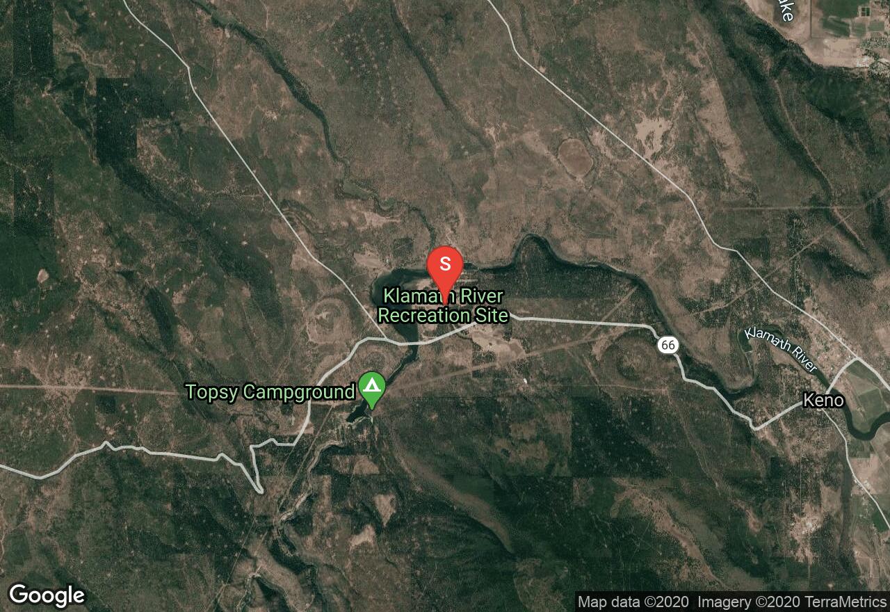
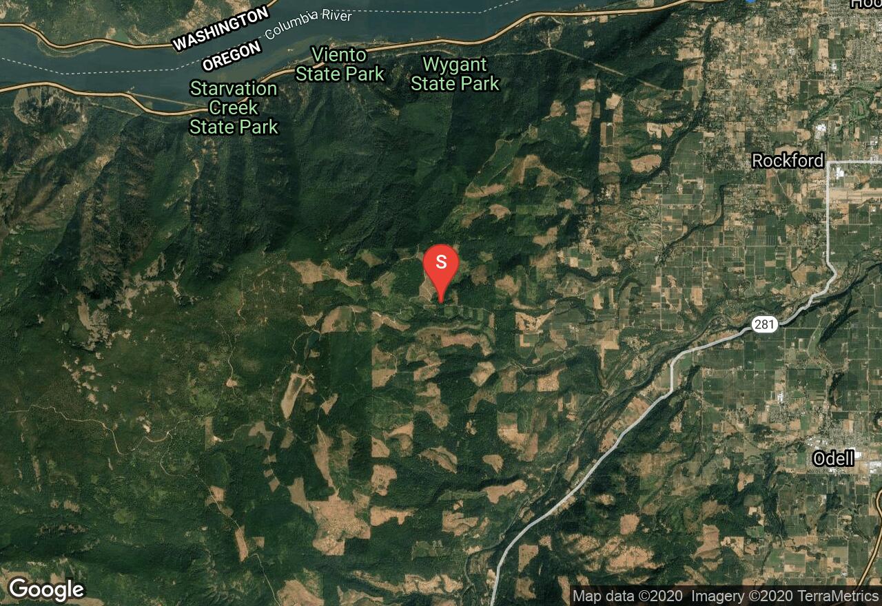
Oregon, Hood River County
00 :17 hrs
1.6 mi
346.80505 ft
Unknown
Located in the Mount Hood National Forest, the trail to Mount Defiance is steep with loose shale and rocks the entire route. You’ll have some incredible views in all directions and some great places for a picnic or to take in the scenery. A lift and bigger tires are recommended.

Oregon, Hood River County
01 :21 hrs
15.5 mi
517.00806 ft
Unknown
Lookout Mountain Road follows a well-maintained gravel road through some incredible scenery of forests, meadows, prairies, and big views of Mount Hood. It is suitable for 2WD vehicles and is a popular route after driving Bennett Pass. Several opportunities for dispersed camping are available on side roads.
Oregon, Hood River County
00 :08 hrs
1.4 mi
19.52295 ft
Unknown
Part of the Hood River OHV Trails, this route begins from the Binns Hill Staging area. There are several options for trails here that vary in difficulty and terrain. There are trail maps available at the kiosks with details of what is allowed on each trail. Some trails are multi-use so be cautious of other recreating. A spark arresting exhaust silencer or end cap is required and an Oregon ATV Permit sticker.
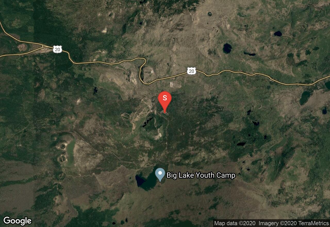
Oregon, Linn County
01 :01 hrs
5 mi
43.781982 ft
Unknown
Trail #3 begins at Ray Benson Sno-Park and follows forest roads 2690 and 811. It is groomed and also intersects with other trails for more exploration. A sno-park permit is required from November 15-April 30 and can be purchased at the DMV.

Oregon, Tillamook County
00 :41 hrs
3.9 mi
402.50104 ft
Unknown
Located in Tillamook State Forest, this trail follows a steep sidehill that is only wide enough for one vehicle. There are no major obstacles along the narrow section but the exposure is extreme. Soon you’ll leave the narrow hillside and drive into a boulder field where careful wheel placement and spotting are necessary. Trail conditions can change dramatically with weather. Dispersed camping is available.

Oregon, Tillamook County
01 :01 hrs
7.5 mi
334.526 ft
Unknown
Cedar Tree is a fun and popular trail located deep in the Tillamook State Forest. To reach the trailhead you will first drive along a few other trails (University Firepower, and Powerline #4s). Its name comes from an ancient tree stump that hangs over a shelf obstacle. Expect some ruts with possible deep water and then the tree stump that hides the shelf. Make sure your vehicle can clear the stump before you enter. Trail conditions can change dramatically with weather. Dispersed camping is available.

Oregon, Hood River County
01 :52 hrs
9.8 mi
563.00397 ft
Unknown
Lolo Pass offers incredible views of Mount Hood in every season. It follows a maintained dirt road that is suitable for 2WD vehicles. The trail is narrow and ends at forest road 13 which continues to Lost Lake. There is no camping allowed and the trail closes during the winter months.
See more adventures..
Explore complete list
Explore nearby adventures

