Best Mountain Biking in Oregon
Trying to find the best mountain biking in Oregon? Bivy has great hiking, biking, paddling, climbing, skiing, riding and more, with hand-curated trail maps, as well as detailed driving directions.
Washington, Skamania County
03 :28 hrs
15.4 mi
672.9377 ft
Hard
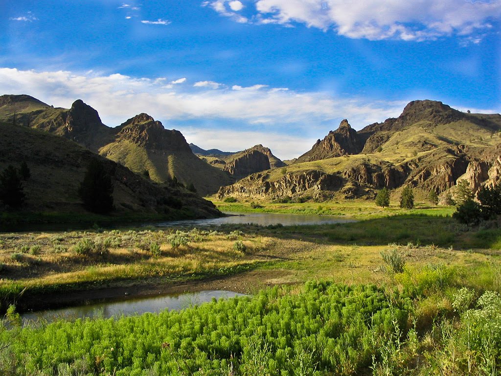
This adventure has a variety of interesting features such as the wide open McClellan Meadows, lava tube caves right off of the trail, and a waterfall near the end. The route itself follows excellent, smooth trails under dense forest with minimal underbrush. The trail reaches the lava caves at 8.5 miles. The caves have a much higher ceiling than most lava tubes - standing up is definitely not a problem. Bring a strong headlamp for optimal exploration. The trail continues a gradual descent, occasionally popping out into clear-cuts before paralleling Falls Creek past the waterfall. The last 2 miles are a little steeper than the rest as the trail descends over several switchbacks. A NW Forest Pass is required to park at the trailhead. Leave a car at the lower trailhead or be prepared to ride back to the upper one on a paved forest road.
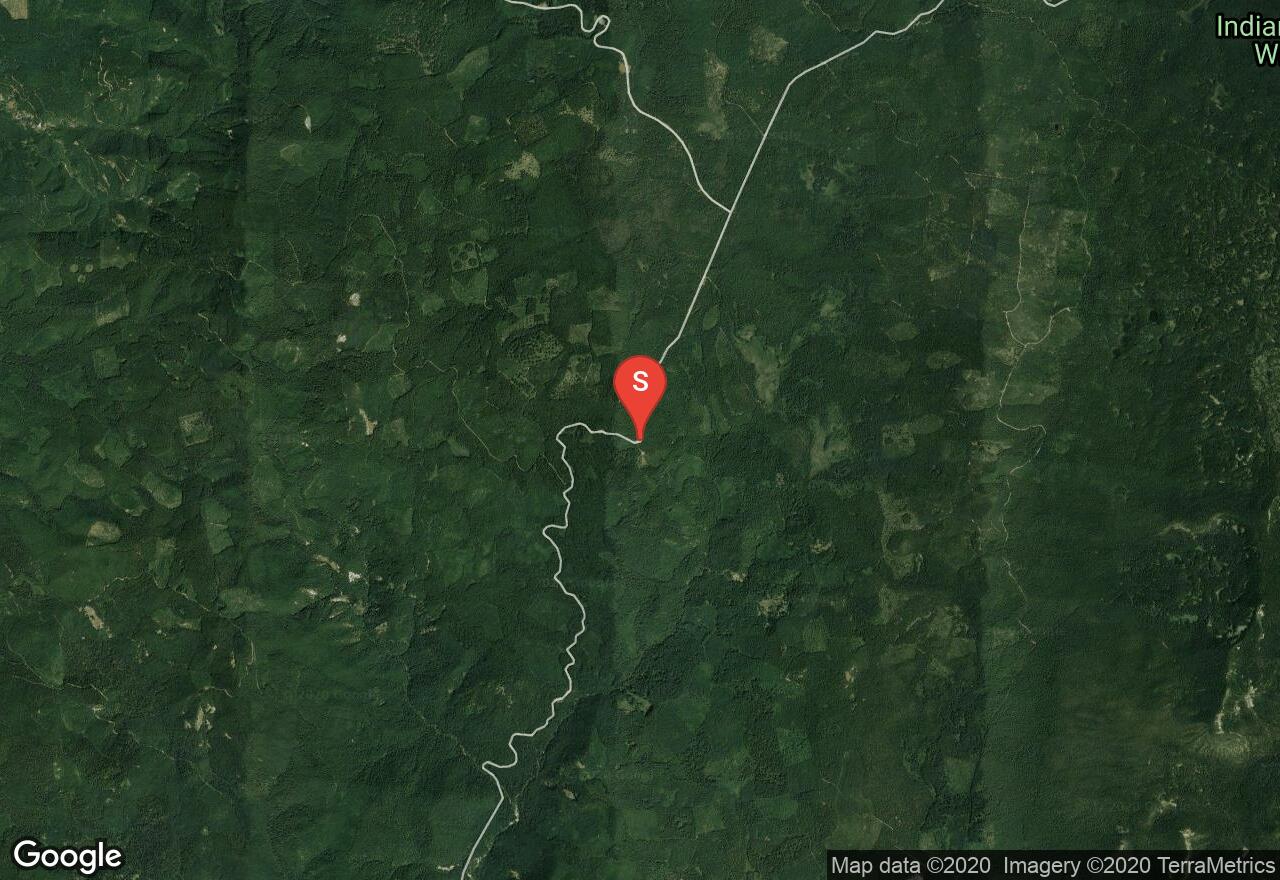
Washington, Klickitat County
01 :34 hrs
6.7 mi
466.70334 ft
Hard
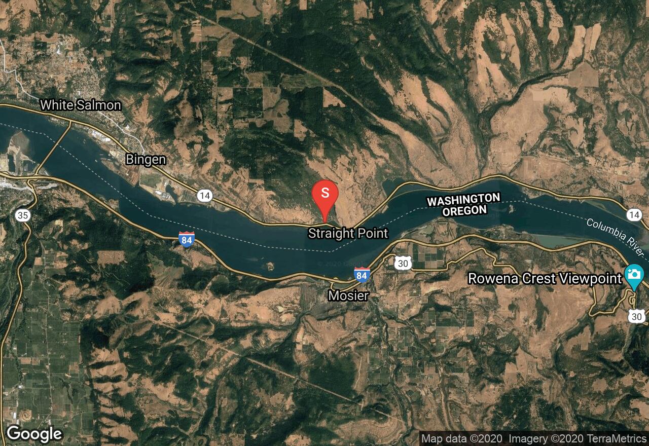
The Syncline trail network covers some extremely beautiful terrain along and above the Coyote Wall in the Columbia River Gorge. The trails ascend and descend the open slopes and oak savanna mostly at a moderate grade, though some sections are steep. In the spring and early summer, the meadows are bursting with many different species of wildflowers typically found both in the desert and mountain environments. During this time, several creeks with waterfalls flow as well, though like the flowers they usually dry out by mid-summer. Descending via the Crybaby and Little Moab Trails is an exhilarating ride on top of the 500-foot basalt cliffs of Coyote Wall. Views of the gorge and Mt Hood are stunning. Beware of poison oak.
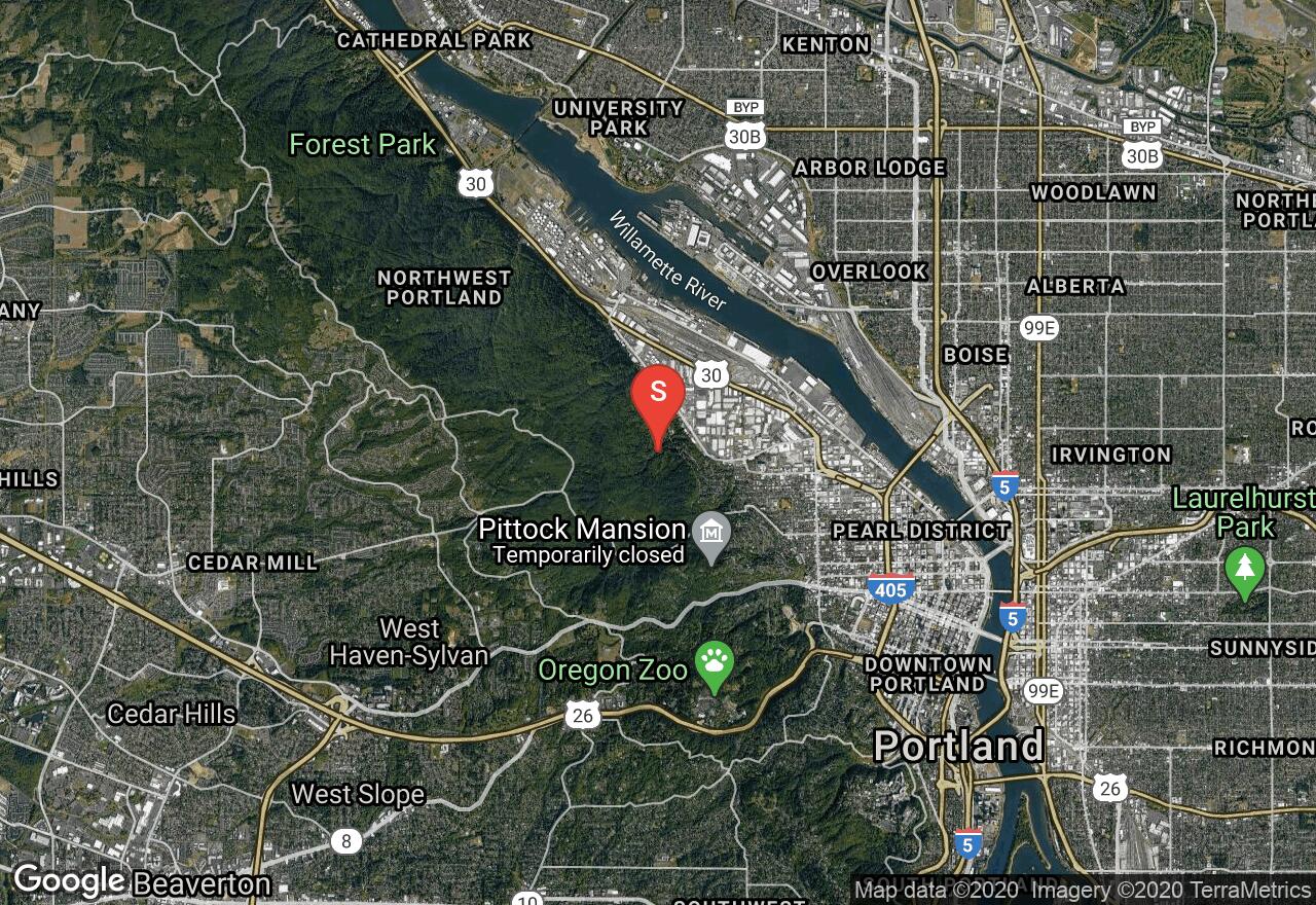
Oregon, Portland
05 :24 hrs
10.6 mi
132.77808 ft
Easy
Leif Erikson Drive, a wide dirt and gravel trail, travels through Forest Park, one of the largest urban forest reserves in the country. Right in Portland, this route feels as though it is in the wilderness away from urban life. The road is nicely graded and provides a pretty smooth surface. There are rocky sections and some short climbs, but Leif Erikson provides a pleasant outing for a great ride. This is a popular park and weekends can be busy.
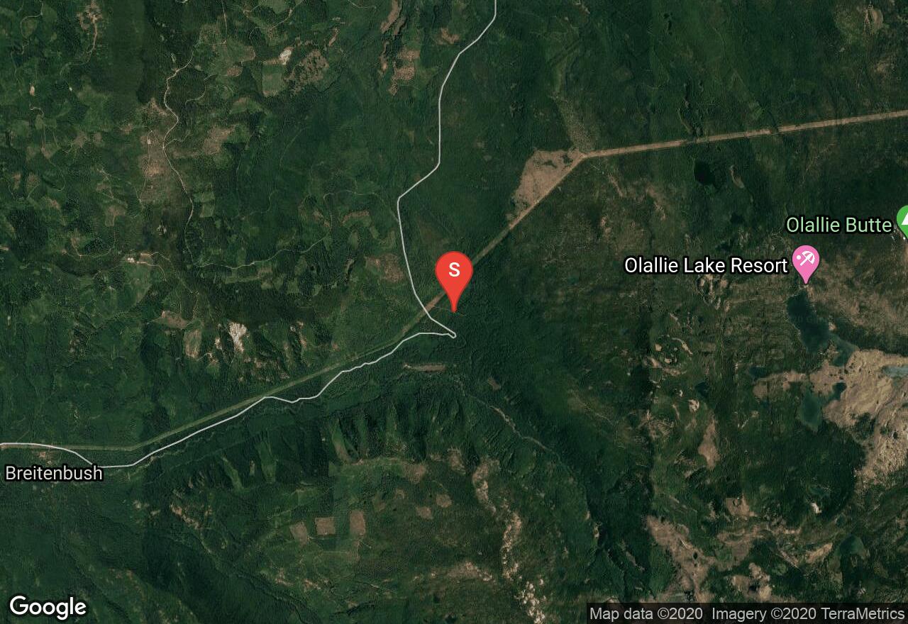
Oregon, Marion County
05 :13 hrs
20 mi
624.3181 ft
Expert
Containing 35 named lakes and about many miles of trails - 25 of which are open to mountain bikers, Olallie Scenic Area is a haven for bikers and hikers alike. This route follows gravel road for the majority of the ride and outlines the scenic area while it passes right alongside Olallie Lake, as well at least five other named lakes. By late-July, the lakes are warm enough for swimming. Views of nearby Mt Hood are breathtaking throughout the route.
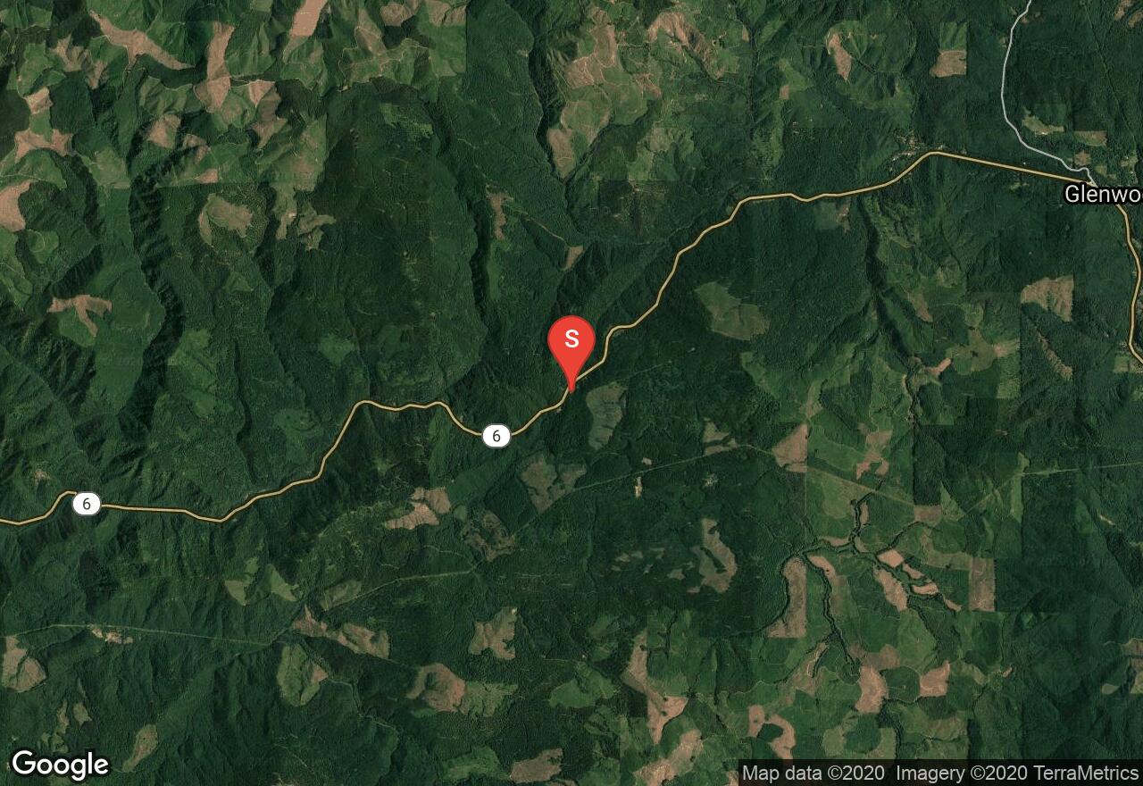
Oregon, Washington County
01 :50 hrs
7.1 mi
149.67871 ft
Moderate
Beginning at Rogers Camp Trailhead, this route goes through forests and across trails, roads and streams. A highlight along the trail is University Falls, a 55 foot falls over a large and jagged basalt wall. The falls can be large in the winter and very low in the summer. The ride is mostly singletrack with some dirt road, but numerous uneven tread and roots can be challenging.
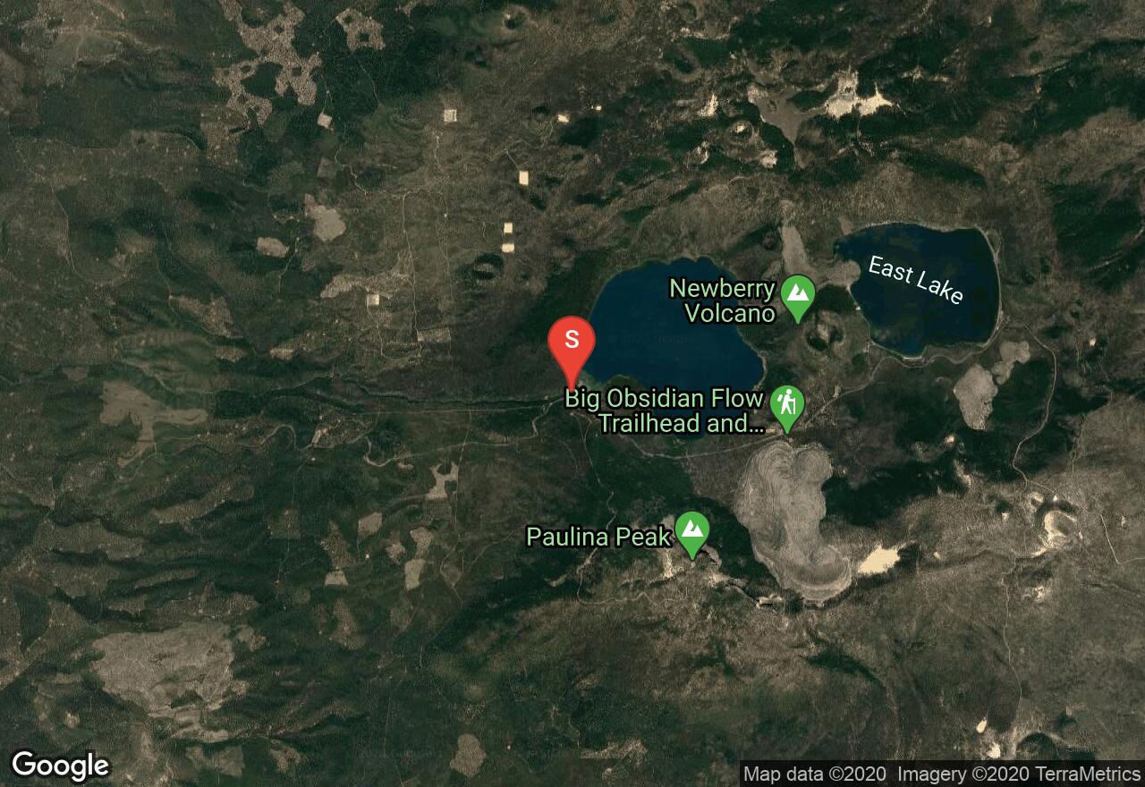
Oregon, Bend
05 :11 hrs
18.4 mi
367.31445 ft
Expert
Rising gently out of the high desert, Newberry Caldera exists where three fault zones collide. This trail goes around two lakes in the caldera, Paulina Lake and East Lake - both pristine and beautiful. Very interesting sights lie in the ride, besides the two lakes, the ride goes alongside a black obsidian flow, Paulina Peak and circles around Newberry Crater, which is located between the two lakes. The majority of the ride is done on singletrack with a few short sections of dirt and paved road. National Forest Recreation Pass required.
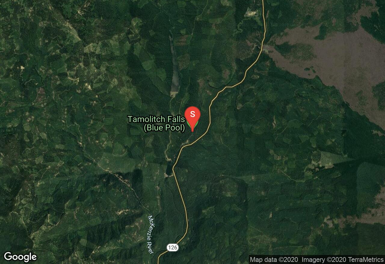
Oregon, Linn County
00 :52 hrs
1.8 mi
68.073425 ft
Easy
While a world famous mountain biking trail, McKenzie River Trail is also popular with hikers. For both types of sport, this trail is breathtaking while it follows McKenzie River through a Douglas Fir forest and also meanders through an ancient lava field. The trail leads to the pristine waters of Tamolitch Lake, also called Blue Pool. To get to the trailhead, take McKenzie Hwy 126 14 miles east of McKenzie Bridge. Turn at the Trailbridge Campground sign, and immediately turn right onto a gravel road after crossing the bridge. After about a third of a mile park at the signs for the trail crossing. Use respect for others as mountain bikers and hikers share this trail equally.
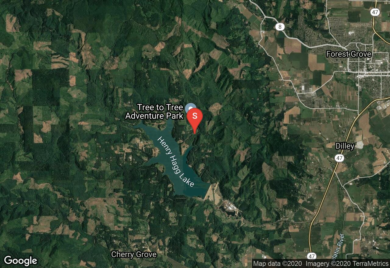
Oregon, Washington County
03 :26 hrs
13.1 mi
24.864555 ft
Hard
A popular mountain biking trail, this loop follows the edge of the lake completely around its entirety while encountering uphill climbs, some road sections and even has some technical terrain. Views of Mount Hood can be seen in various sections of the trail and on a hot day, a swim in the lake will be a refreshing cool down. On rainy days, sections of the trail can become very muddy and slippery. There are various places to park and start the loop, but it is said that the best ride along the trail is clockwise. Entry fee to the lake is required.
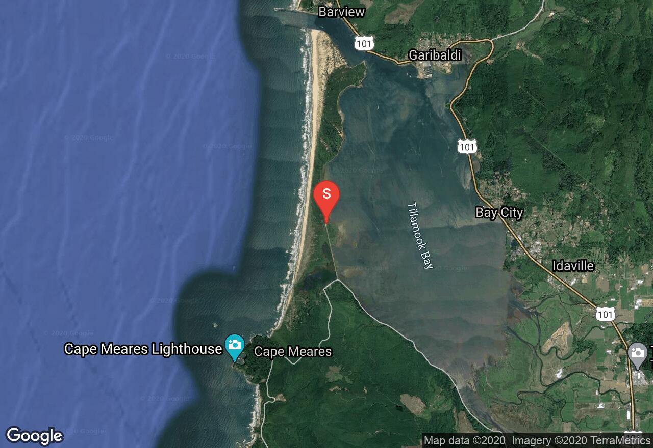
Oregon, Tillamook County
02 :11 hrs
4.1 mi
10.212106 ft
Easy
Following a dirt road along the coastline of Tillamook Bay, this ride is gorgeous and easy enough for beginning riders. The road was created for a former Bayocean community and now only used for maintaining the jetty. No motorized vehicles are allowed on the road. At the north end of the trail, the Pacific Ocean and south jetty of the bay are within walking distance.
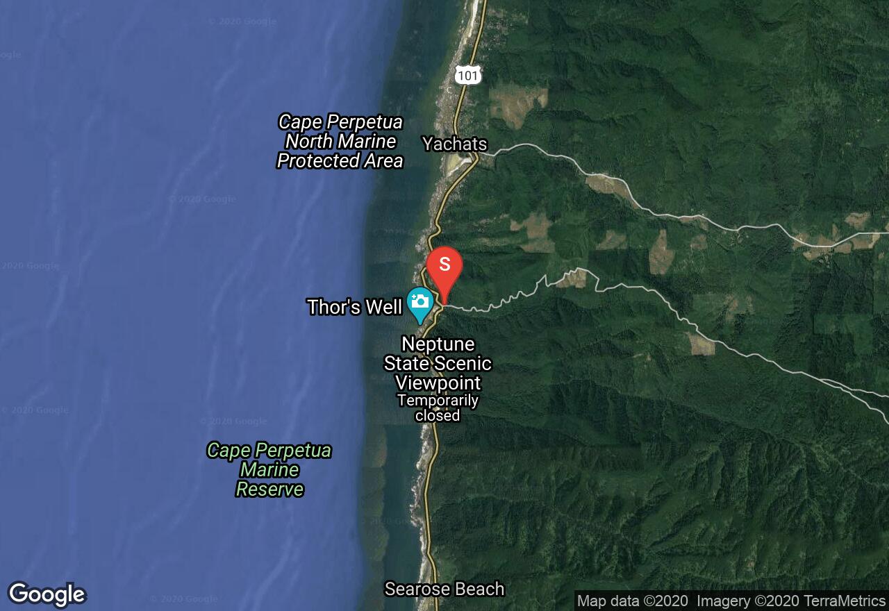
Oregon, Lincoln County
02 :17 hrs
9.2 mi
433.30838 ft
Expert
Along Cape Perpetua, this trail travels through the hills filled with coastal forests with views of the Pacific Ocean available along the ride. The ride starts with an ascent up a paved road and then hits a beautiful and scenic singletrack for the descent on the edge of the Cummins Creek Wilderness Area. Cummins Creek is parallel to the trail on the descent from Cummins Peak. National Forest Recreation Pass required. Most other trails around Cape Perpetua are closed to bikes.
See more adventures..
Explore complete list
Explore nearby adventures

