Best Sea Kayaking in Oregon
Trying to find the best sea kayaking in Oregon? Bivy has great hiking, biking, paddling, climbing, skiing, riding and more, with hand-curated trail maps, as well as detailed driving directions.
Oregon, Lane County
03 :24 hrs
8.6 mi
7.277619 ft
SK II
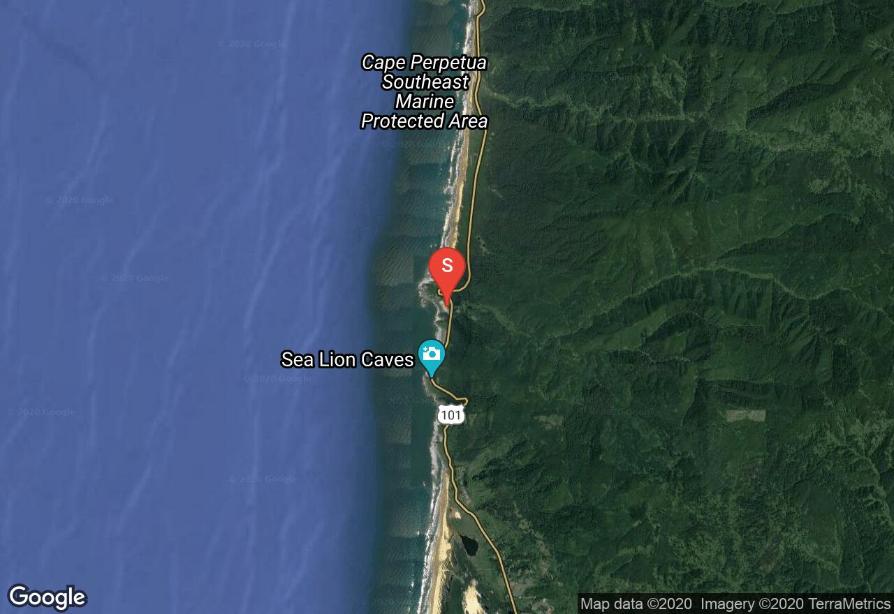
From Devil's Elbow at the base of the beautiful Heceta Head Lighthouse, this paddle follows the coastline south to the north jetty at the city of Florence. Right after launching, the first set of rocks include America's largest sea cave that is inhabited by numerous sea lions. You cannot enter the caves by kayak, as the only human entrance is through a gift shop, but the sounds and views of sea lions is inevitable. The rest of the route follows beautiful sandy beaches, with the take out being on the north jetty at the city of Florence where the Siuslaw River joins the ocean.
Oregon, Cape Meares
02 :02 hrs
5.1 mi
5.599246 ft
SK I
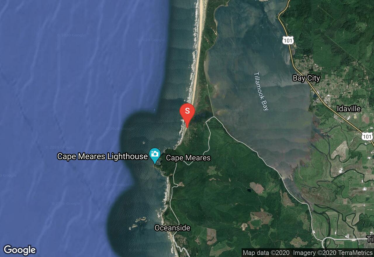
Putting it north of Cape Meares, this paddle is amazing with discoveries along the entire route. While paddling around Cape Meares, you'll pass by Pillar Rock and many bays along the cape that is shear rock cliffs. Past the cape, there is a sandy beach to rest on before exploring around Seal Rock and Three Arch Rocks that truly do have arches in them. The take-out is just at the beach nearest to the rocks, at the city of Oceanside. The rocks are protected for wildlife and can not be accessed or docked at.
Oregon, Lane County
01 :02 hrs
2.6 mi
7.517715 ft
SK I
A working lighthouse since 1894, Heceta Head lighthouse is perched on the edge of cliffs along gorgeous Heceta Head. The paddle begins just north of the lighthouse and goes around Conical Rock and then the lighthouse. Just after passing the lighthouse, the take out is located on a beach called Devil's Elbow located at just south of the lighthouse.
Washington, Vancouver
03 :54 hrs
9.8 mi
4.6999993 ft
SK II
Vancouver Lake is a large freshwater lake close to the Portland/Vancouver metro area. Though not as windy as the Columbia Gorge, there is almost always an afternoon breeze that can make the water a bit choppy. Explore the marshy shoreline if the wind is strong. There are good views of Mt St Helens and Mt Hood from certain parts of the lake.
Washington, Walla Walla County
10 :06 hrs
25.3 mi
1.1801453 ft
SK II
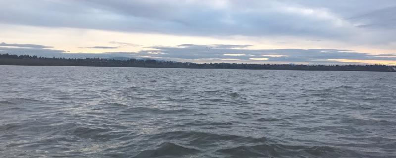
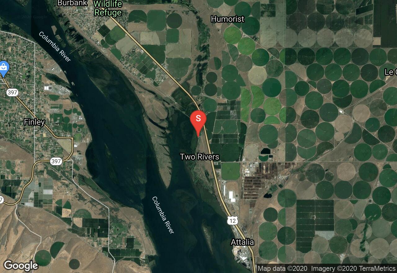
Lake Wallula is a reservoir behind the McNary Dam on the Columbia River. It occupies Wallula Gap, the narrows in the river between high basalt bluffs near the Washington-Oregon border. The stark desert landscape offers a nice contrast to the blue water of the river. It normally becomes very hot here in the summer. Watch for power boat and barge traffic.
Washington, Skamania County
01 :46 hrs
4.4 mi
5.566952 ft
SK III
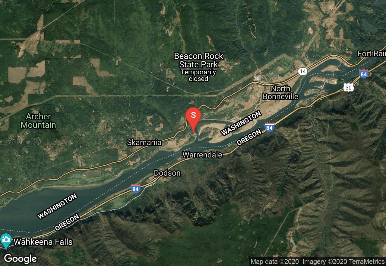
This adventure gives the chance to gain a new perspective on the impressive basalt monolith of Beacon Rock towering above the Columbia River, as well as to explore two islands in the river's broad flow. The river currents are strong, especially in the spring, and are also somewhat influenced by the tide. The Columbia Gorge is world-famous for its winds, which often blow against the current here, resulting in choppy water. Pierce Island is owned by The Nature Conservancy and is open for landing on, though not camping, from July through February. The constantly shifting forms of Pierce and Ives Islands are always interesting to explore.
Washington, Cathlamet
04 :06 hrs
10.2 mi
7.7388325 ft
SK II
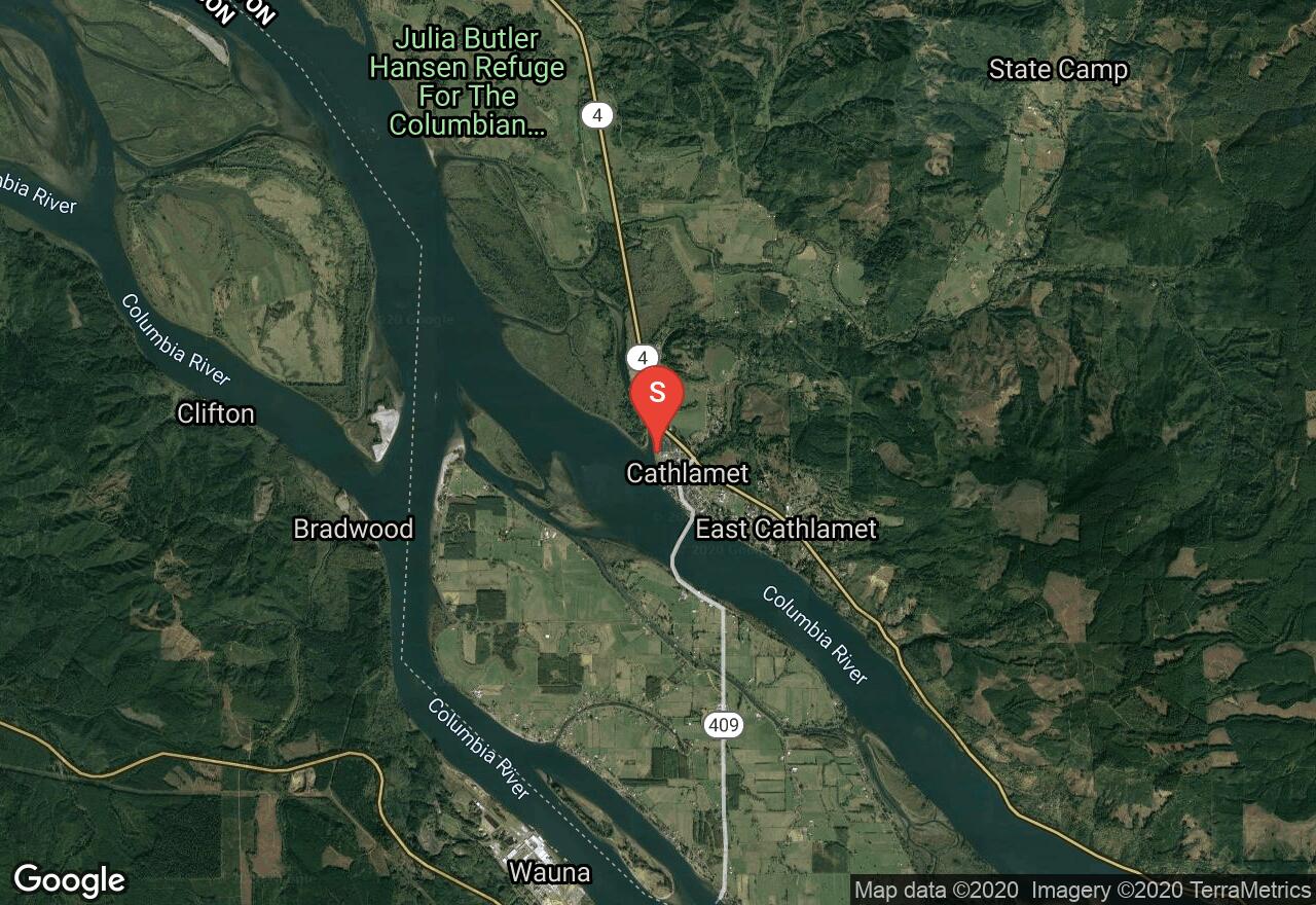
This stretch of the lower Columbia River resembles the scenic Gorge area, with plenty of cliffs and waterfalls pouring from the heights. Given favorable west winds and an incoming tide, this route can be run upstream. Watch for large boat wakes once you leave Cathlamet Channel.
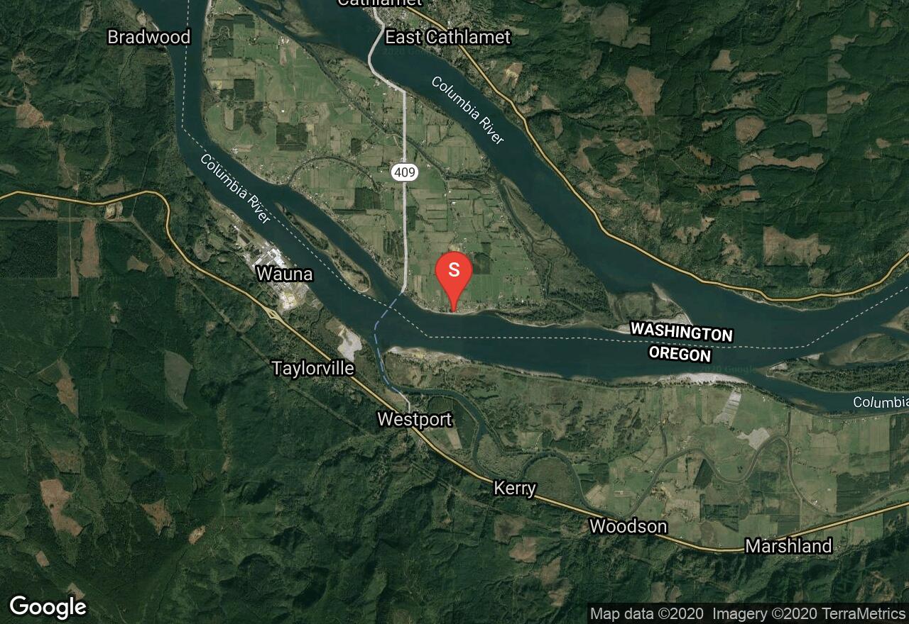
Washington, Wahkiakum County
05 :03 hrs
12.6 mi
0.9821541 ft
SK II
Puget Island is a large agricultural island in the Columbia River kept dry by levees. The southern and western sides of the island are bordered by the main channel of the Columbia, so keep an eye out for large ships. The other shores, however, are in protected, narrow sloughs perfect for kayaking, but only at high tide; there is not usually enough water to navigate them at low tide. Timing this adventure with the tides will make it much easier and more enjoyable. A Washington Vehicle Use Permit is required to park at the launch site.
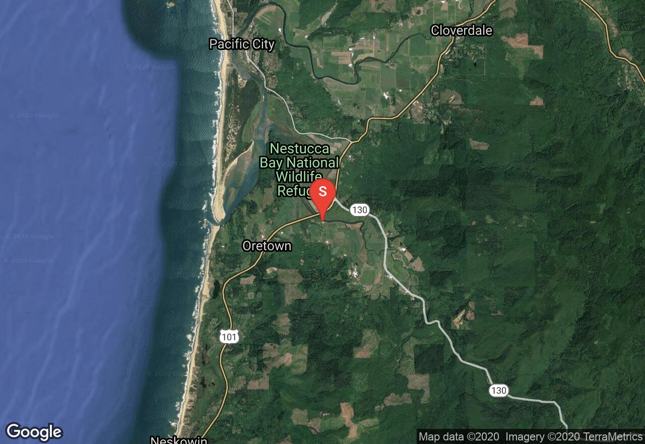
Oregon, Tillamook County
03 :35 hrs
4.5 mi
2.0966375 ft
SK II
A beautiful and calm kayaking route, Nestucca Bay is home to an abundant mix of marine life like crab, flounder, jellies and river otters. Birds are remarkable in the area as well with the chance to see bald eagles, red tail hawks, osprey, and many sea birds. The trip is mainly done in the summer, but can be done at other times of the year with the right gear, as it can be very rainy here.
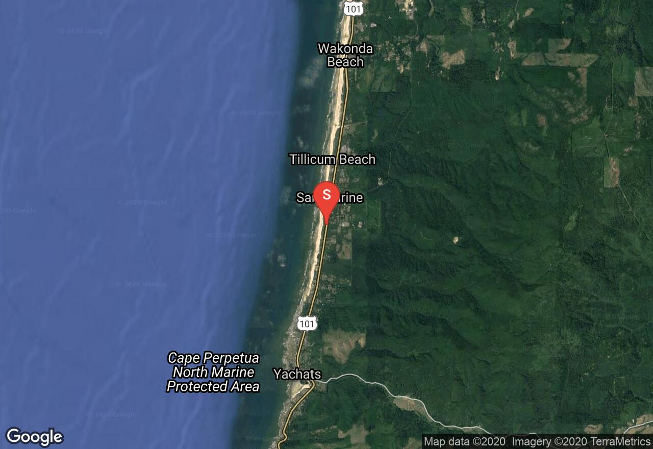
Oregon, Lincoln County
02 :52 hrs
7.2 mi
6.996532 ft
SK II
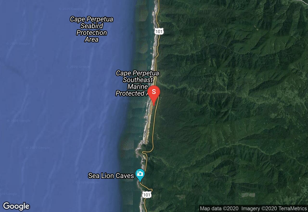
Just north of Yachats, this route begins at San Marine State Park and goes south to the beach at Yachats to enjoy a rest. Following the shoreline south again along a gorgeous rocky shore, you can rest again at Cape Perpetua Beach, a small sandy beach just after Devlis Churn. Going around Cape Perpetua and the rocky shoreline, there are numerous chances for wildlife viewing. The route ends on a sandy beach at Neptune State Scenic Viewpoint, a great whale watching location.
See more adventures..
Explore complete list
Explore nearby adventures

