Best Kayaking in North Carolina
Trying to find the best kayaking in North Carolina? Bivy has great hiking, biking, paddling, climbing, skiing, riding and more, with hand-curated trail maps, as well as detailed driving directions.
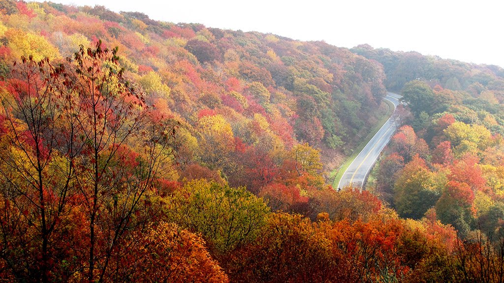
North Carolina, Burke County
05 :21 hrs
17.2 mi
639.2572 ft
VI
The run down the Linville River from the falls is one of the most scenic and epic whitewater runs in the eastern United States and should only be attempted by the most experienced paddlers out there. The advanced run through the steep gorge consists of multiple class IV-VI rapids which are relentless even for even very expert paddlers. The gorge is remote and steep so access and rescue is difficult. Scouting and portaging is also very challenging and can be dangerous in spots. The full stretch between the falls and the 126 bridge is best done as an exhausting two-day trip but there is an option of a shorter day trip by hiking and portaging out the Sandy Flats Trail. The put-in is accessed by a short portage down a steep trail below the falls. The run down Linville Gorge provides awesome scenery and a technically challenging run but do your research and know your limits before even considering taking the run down.
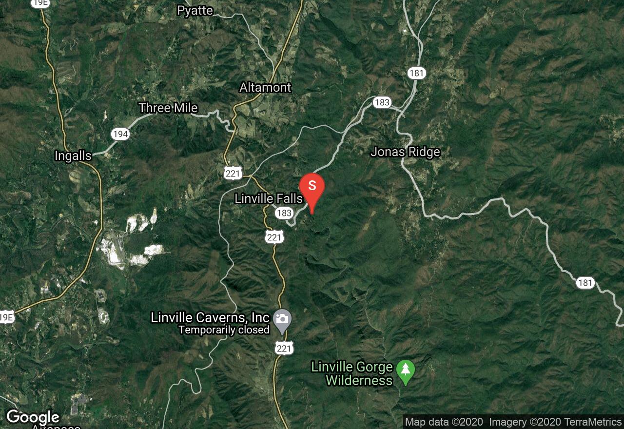
North Carolina, Watauga County
01 :41 hrs
5 mi
151.24799 ft
V
This large stream travels over 60 through diverse terrain of western North Carolina before entering into Watagua Lake in Tennessee. This stretch of the river offers an exciting run through a steep gorge that consists of multiple class III-V rapids with limited visibility. Very large drops and massive boulders result in some very tricky sections that require expert paddling and thorough scouting skills. Rescue on this section of the river can be very tricky as well so only attempt if you are very confident in your abilities. To check current water levels, contact Tennessee Valley Authority.
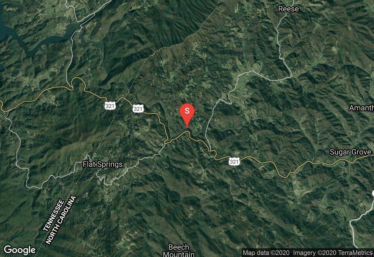
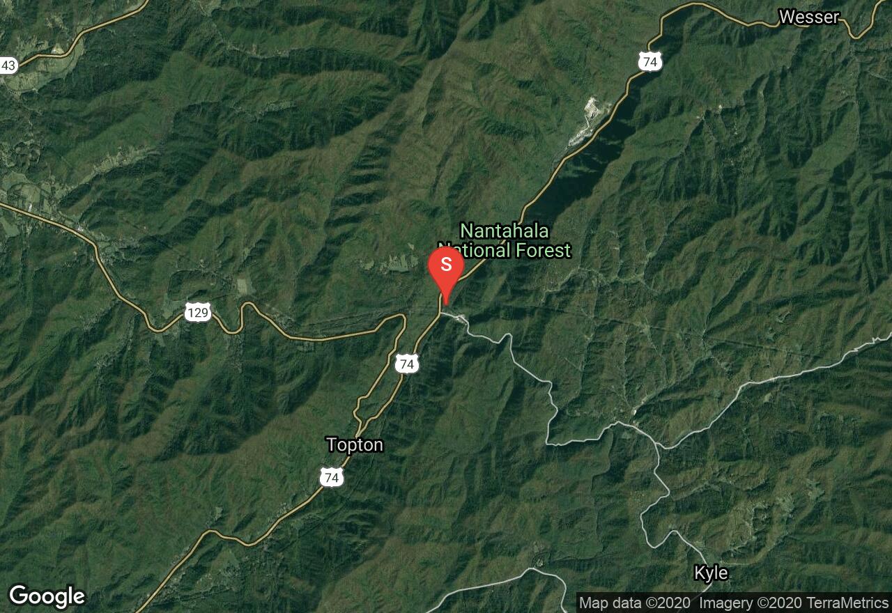
North Carolina, Graham County
03 :24 hrs
9.6 mi
203.80832 ft
IV
The Cheoah River, located in the southwestern corner of the state, runs between Santeetlah Dam and the Little Tennessee River. The river provides a challenging and enjoyable run when water is flowing . The river is usually dry but after extended rainfall it becomes an excellent option for intermediate and advanced paddlers. The first part of the run is best suited for intermediate paddlers with mostly class II-III rapids through boulder fields and over one ledge downstream from the overhead pipe. The second part of the run is more challenging with bigger rocks and higher ledges which can result in class V drops when water levels are high. There are alternate take-outs and put-ins along the way providing paddlers the option of only running the section that suits their abilities. Scouting the river through the second section is advised. The minimum level for the run is 4 feet and there is a gauge near Bearpen Gap on the bridge in the lower section.
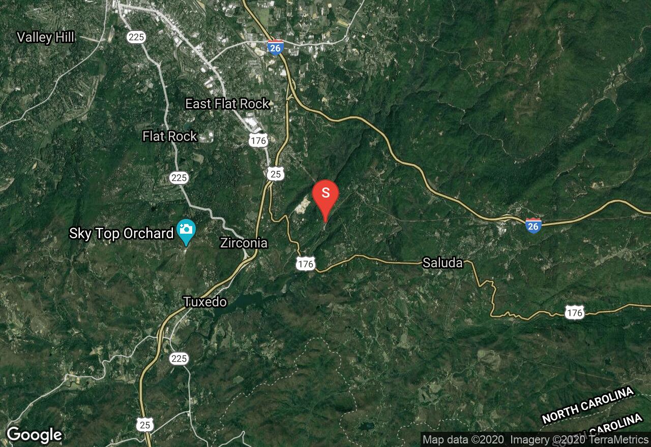
North Carolina, Henderson County
02 :16 hrs
6.9 mi
199.62619 ft
IV
The Green River is a dam-release river that travels through the Blue Ridge Mountains of North Carolina and provides excellent and challenging runs for experienced paddlers. This section starts immediately downriver from the power plant and provides an enjoyable class II-III (IV) run for the first half with a couple of class III(IV) drops/slides that needed to be scouted and run cautiously. The second part of the run, however, is where most of the action is and should only be attempted by the most experienced and adventurous paddlers. Not only does this section offer multiple class V-VI elements but the area is very remote and hiking out is not an easy or short task if you are not able to complete the run by boat. There is not a lot of room for error when running The Narrows so be very confident in your paddling and scouting skills if considering to attempt this run. The river is runnable only when the plant is operating so call ahead to confirm the schedule and current flow conditions. The Narrows can become even more dangerous when the Hungry River is releasing higher levels of water from runoff.
Georgia, Franklin County
02 :45 hrs
6.6 mi
20.351593 ft
II
This section of the Broad River, in the rolling north Georgia foot-hills, is arguably its most popular paddling section. The ride is very scenic. The river’s banks are lined with ash, river birch and beard cane. At different water levels this run offers various challenges. When the water is low the river is very rocky. When the water is high the river’s rapids become more extreme, but most rapids will have less difficult alternate routes if desired. Just be aware of your skill level, and if the water is high and ask an outfitter whether or not the river is runnable. Generally, the largest rapids come near the Highway 172 Bridge; stay left for an easier route. Also, there are fees at the put-in and takeout points.
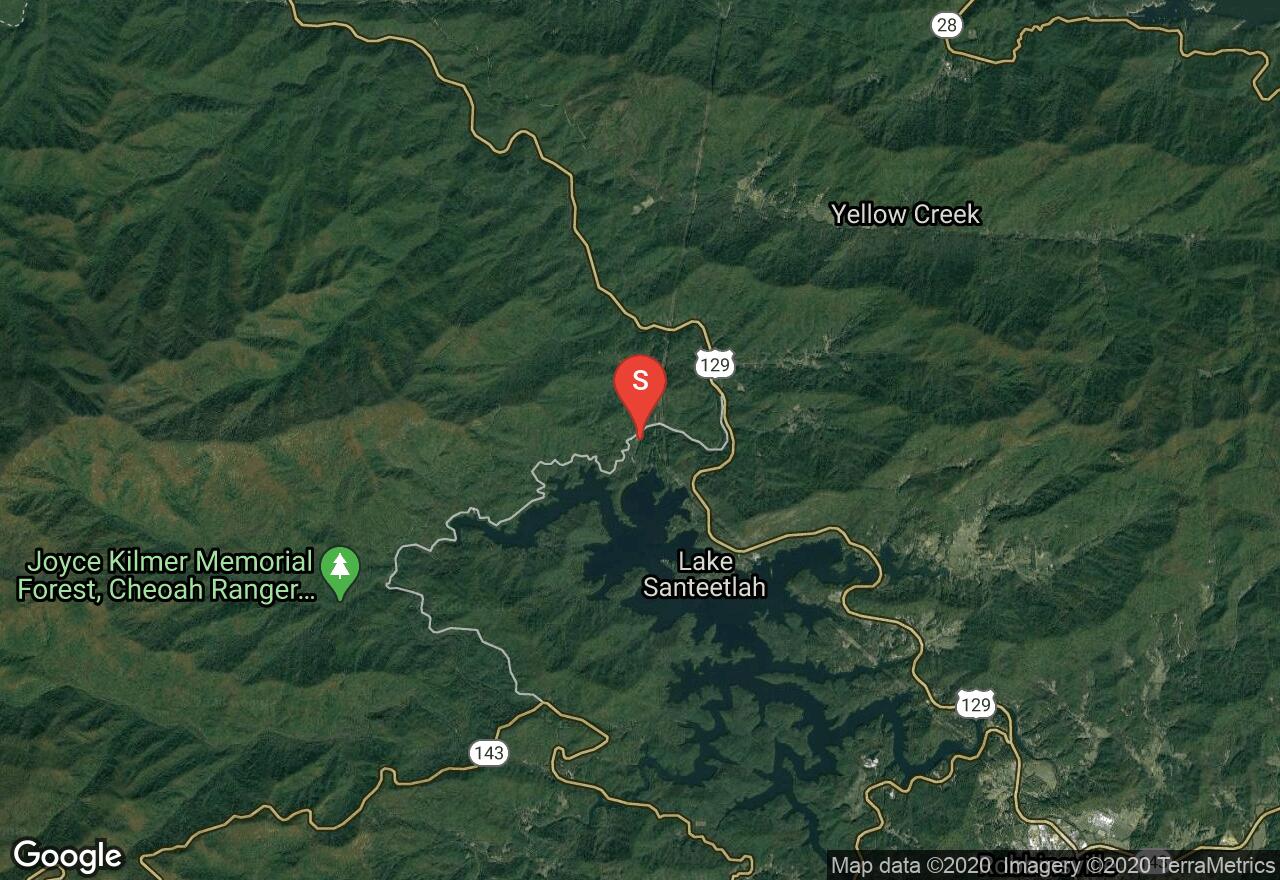
North Carolina, Graham County
03 :02 hrs
7.8 mi
82.634766 ft
III
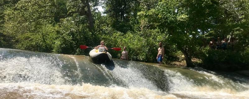
The Nantahala River is located in western North Carolina and travels through national forest before entering Nantahala Lake and offers multiple sections of runnable river for paddlers of all skill levels. This section of the Nantahala River is a consistent, thrilling run of class I-III rapids. The roadway follows the river closely through this section so scouting the river before is easy to do and is strongly advised. Some of the rapids are upgraded in difficulty depending on water flow so it is important to know what the river is doing before running it. Nantahala Falls, as well as a few other rapids, can be easily portaged giving paddlers that are not as skilled the opportunity to run the river. The river can only be run when the power plant is operating so verify this information and current water gauges before attempting the run.
Georgia, Rabun County
08 :06 hrs
19.9 mi
125.97238 ft
III
The Chattooga River sits amidst the scenic Chattahoochee National Forest and offers a great North South Carolina mountain paddling experience. This section of the river offers a goo challenge to novice paddlers. The superlative scenery is a prime example of unspoiled mountain scenery. Wildlife that you may see include a variety of birds, fish and some small mammals. Be sure to check the water levels before you make the trip.
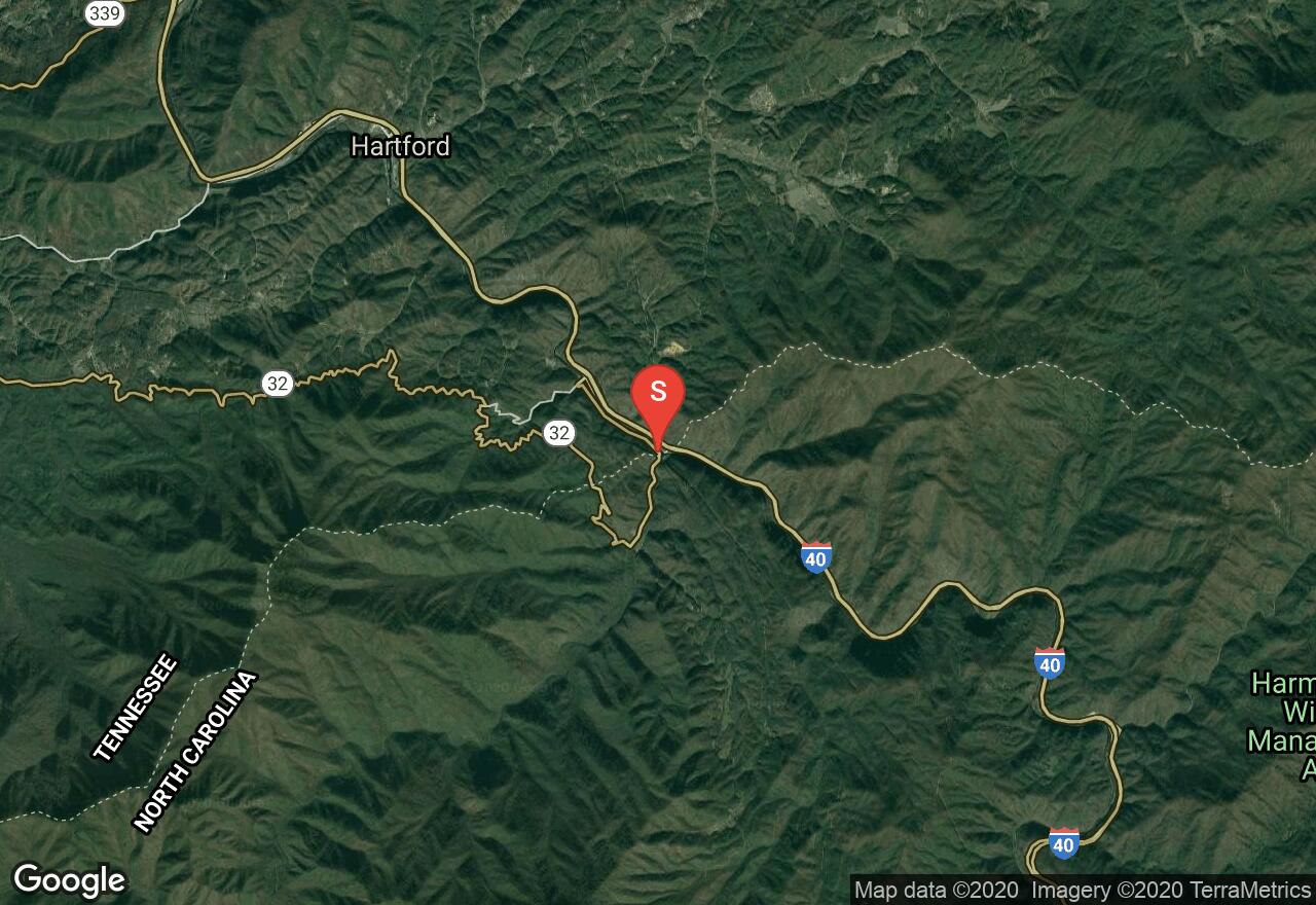
Tennessee, Cocke County
01 :40 hrs
4.3 mi
47.661377 ft
IV
The Pigeon River was once the dump site for toxic waste from a paper and pulp mill and its waters were not very enticing, but now the river has been cleaned up some and offers some decent sections for paddlers to enjoy. This section starts just down from the plant and consists of class III-IV waters with multiple rapids that should be closely scouted from the roadway. Standing waves and stoppers that are present on this section of the river and can be challenging to navigate for even very experienced paddlers. There is no gauge for this section so call Walters Plant for current readings and flow conditions.
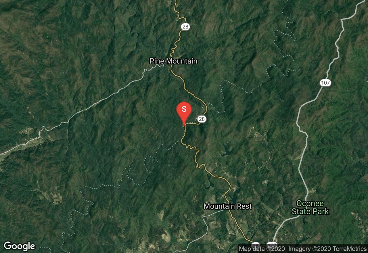
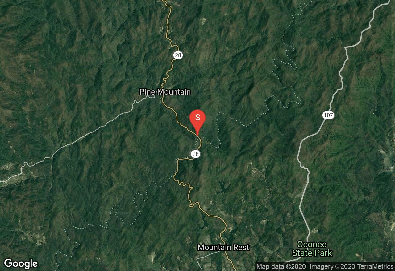
South Carolina, Oconee County
02 :34 hrs
6.2 mi
24.653412 ft
III
The Chattooga River sits amidst the scenic Chattahoochee National Forest and offers a great North Georgia high mountain paddling experience without the intense rapids. Although this section of the river is the most doable of any on the Chattooga River it does contain some solid Class II and one Class III rapid, which will offer a challenge to novice paddlers. The superlative scenery is a prime example of unspoiled mountain scenery. Be apprised that a free river float plan must be filled and that getting out at Earl Ford requires around a quarter mile climb to the parking area.
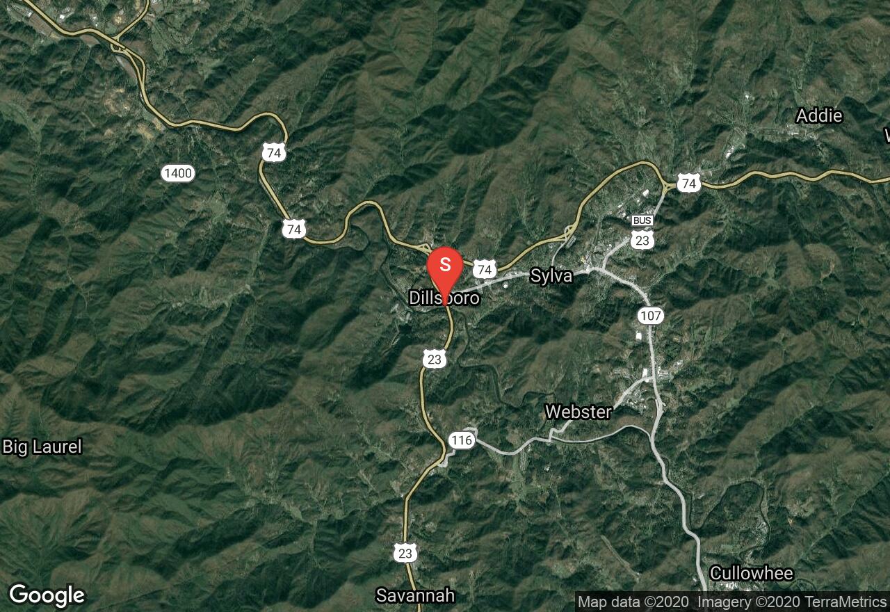
North Carolina, Jackson County
01 :48 hrs
4.4 mi
22.404541 ft
III
Originating in the Nantahala National Forest of western North Carolina, the Tuckasegee River offers multiple sections of scenic river for beginner and intermediate paddlers to enjoy. This run starts from the Dam in Dillsboro and flows through a steep gorge of multiple class II-III rapids. There are several ledges and rock gardens along this stretch that require some scouting before running. The river is usually runnable with the exception of during very dry weather. Water levels also vary depending on if the power plants on the river are operating.
See more adventures..
Explore complete list
Explore nearby adventures

