Best Cross Country Skiing in North Carolina
Trying to find the best cross country skiing in North Carolina? Bivy has great hiking, biking, paddling, climbing, skiing, riding and more, with hand-curated trail maps, as well as detailed driving directions.
North Carolina, Watauga County
01 :26 hrs
2.7 mi
113.0863 ft
Moderate
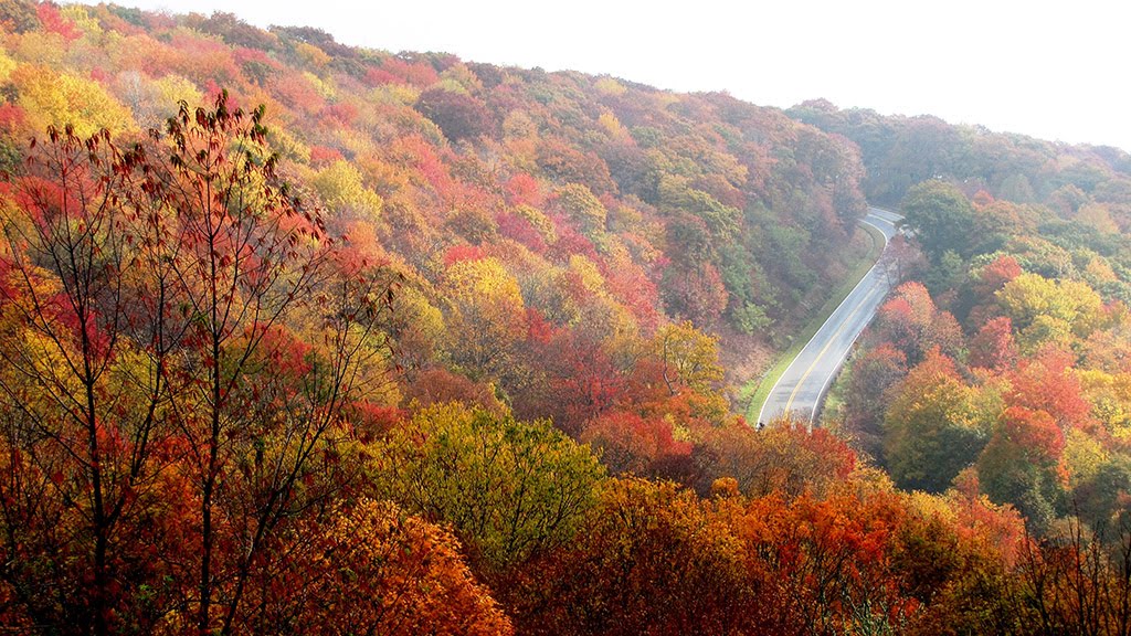
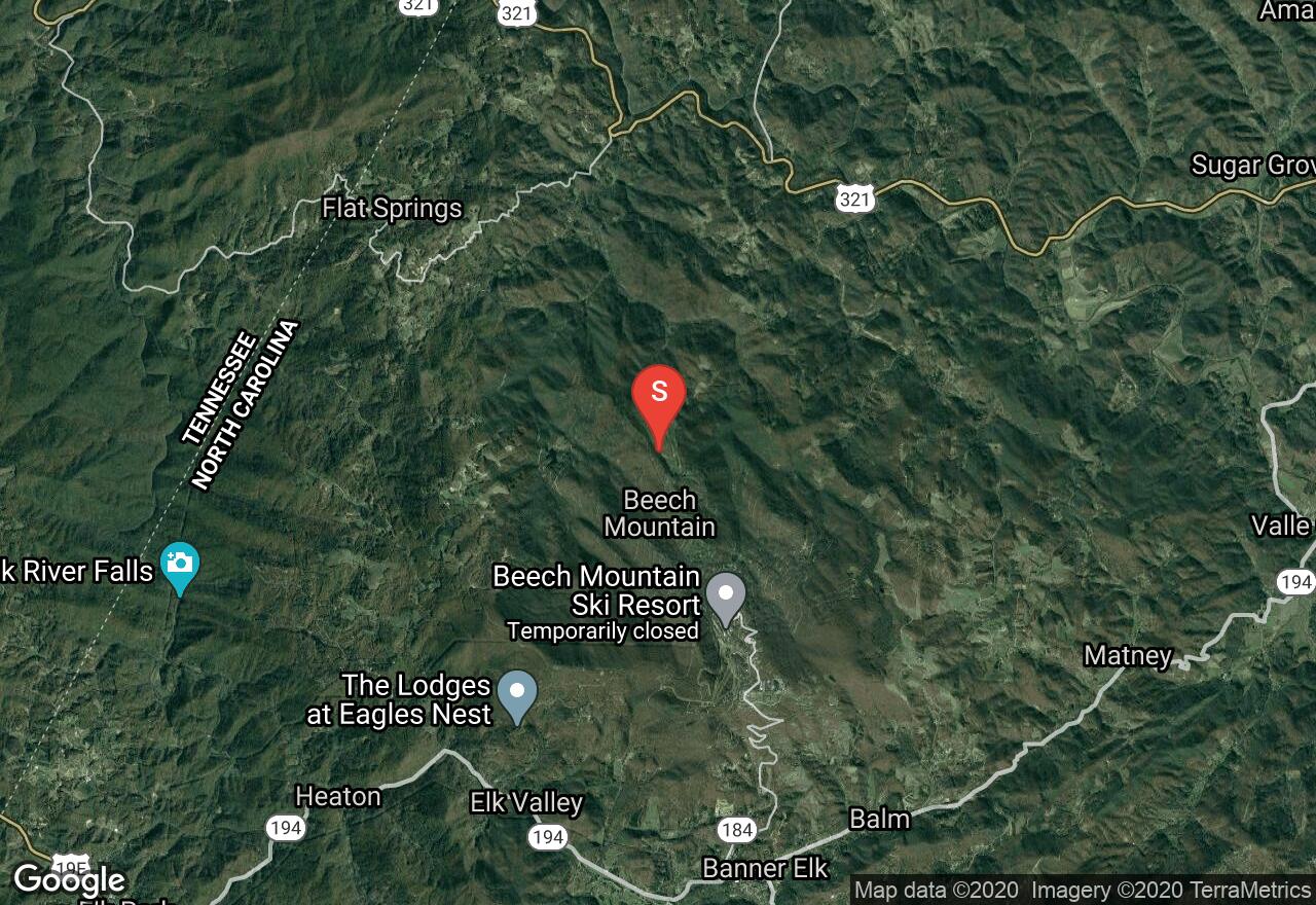
Beech Mountain is the highest downhill ski area in the east and many of the nearby trails in town become excellent for cross-country skiing when winter hits and snow is sufficient. The Wild Iris Trail is a lollipop loop trail that is easy to cover with only mild changes in elevation. There are other trails in the Beech Mountain area that can also be used for cross-country ski trips of varying distances/difficulties but snow is not always adequate so check current conditions before making the trip out.
North Carolina, Yancey County
01 :35 hrs
1.2 mi
84.78577 ft
Easy
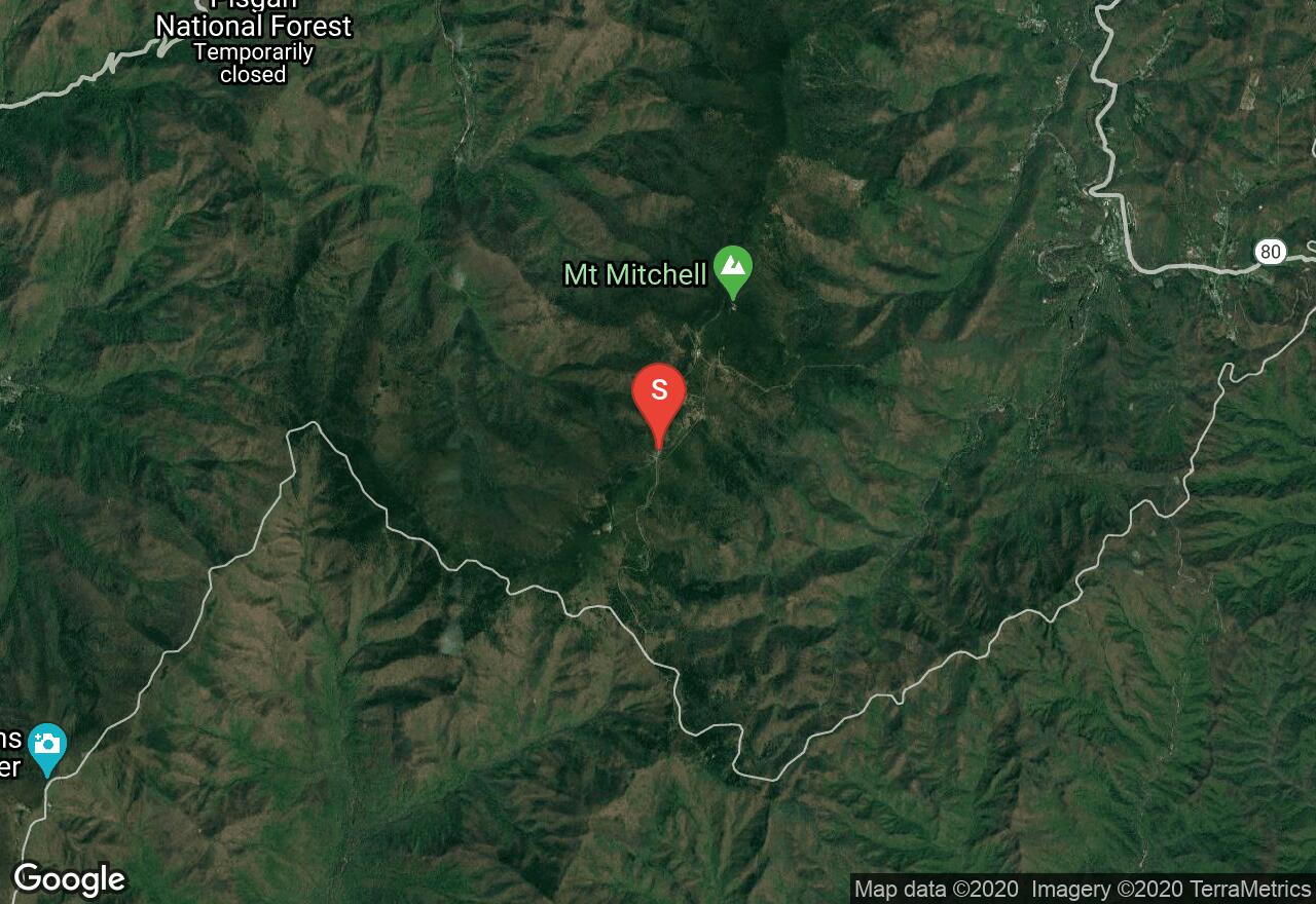
Located along the highest section of the Blue Ridge Parkway, Mount Mitchell State Park offers some nice hiking trails, including the Commissary Trail, which can get enough snow in the winter for cross-country skiing. The Blue Ridge Parkway, however, may not be passable when snow levels are adequate for skiing so check road conditions before setting out.
North Carolina, Watauga County
01 :13 hrs
0.9 mi
61.27466 ft
Moderate
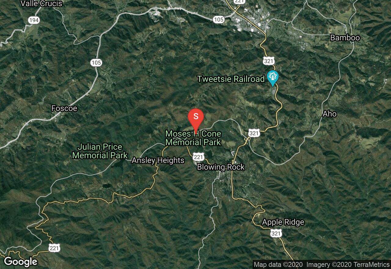
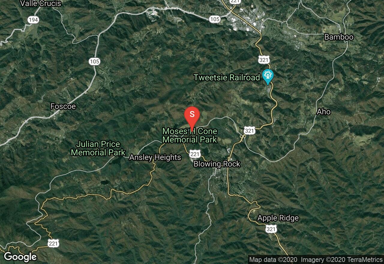
Moses Cone State Park offers almost 30 miles of carriage trails that cover the historic area and offer excellent snowshoeing cross-country skiing opportunity when snow is sufficient. This trip follows the Flat Top trail to the site of a historic cemetery. The trail continues on farther for a longer trip if desired. The carriage trails are not groomed and cover some rolling terrain to add some challenge. The campgrounds, historic sites, and amenities within the park are only open during the spring throughs summer.
North Carolina, Watauga County
01 :28 hrs
1.1 mi
78.95325 ft
Moderate
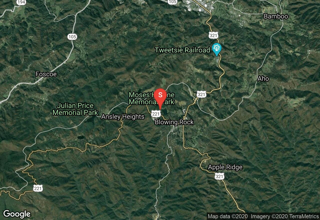
Moses Cone State Park offers almost 30 miles of carriage trails that cover the historic area and offer excellent snowshoeing cross-country skiing opportunity when snow is sufficient. This trip follows the Flat Top trail down to a small scenic lake. The trail continues on past the lake and connects to other trails providing the option for a longer outing. The carriage trails are not groomed and cover some rolling terrain that can be challenging. The campgrounds, historic sites, and amenities within the park are only open during the spring throughs summer.
North Carolina, Blowing Rock
00 :20 hrs
0.9 mi
4.13501 ft
Easy
Located within Moses H Cone Memorial Park, Bass Lake is a gorgeous lake with a family friendly loop trail surrounding it. This is an easy, scenic loop that is unpaved but suitable for wheelchairs and stroller. No bicycles or horses permitted. Cross country skiers will want to ski this soon after it snows and before walkers scatter footprints.
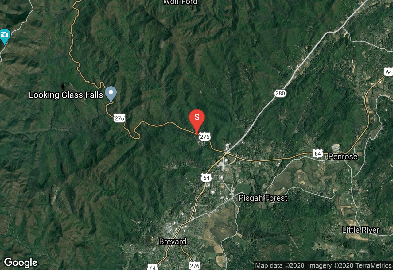
North Carolina, Transylvania County
01 :38 hrs
6.5 mi
225.33215 ft
Hard
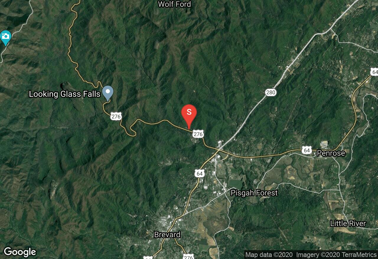
The trail, known as Sycamore Cove, is a section of the Big M Loop that overall is over 37 miles long. This section offers a variety of terrain to challenge all experience levels as it goes up and down hills through the woods. The trail begins at Davidson River Campground and immediately begins climbing through a valley alongside a creek. The trail then descends down the ridge above the creek and repeats the same pattern on the next valley and ridge to the east before completing the loop. This is a beautiful, challenging and fun ride.
North Carolina, Town of Boone
01 :59 hrs
2.9 mi
8.835693 ft
Hard
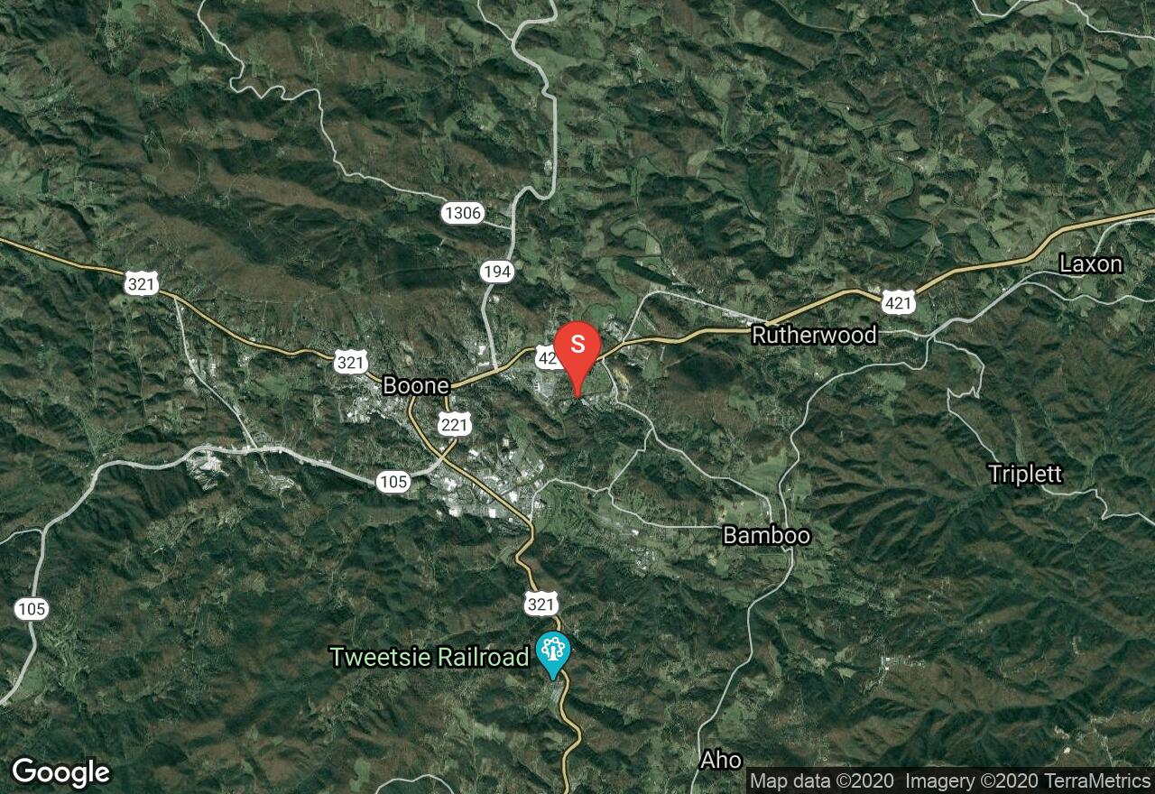
Running through the middle of the city of Boone, this route follows the greenway trails in forests, open fields and along a clean mountain stream. The trail surface is paved and pea gravel and has a backcountry feel to it, staying hidden within the city. This is an out-and-back multi-purpose trail.
North Carolina, Haywood County
01 :09 hrs
4.4 mi
108.18713 ft
Hard
Starting in the Davidson River Campground, this ride follows near the river and then climbs above the valley for a fast downhill ride. The climb up from the river is steep and challenging. The ride along the side of the ridge features some log steps, technical and fast downhill sections, neat bridges, and gorgeous scenery. This ride can easily be combined with the nearby loops for a longer trip.
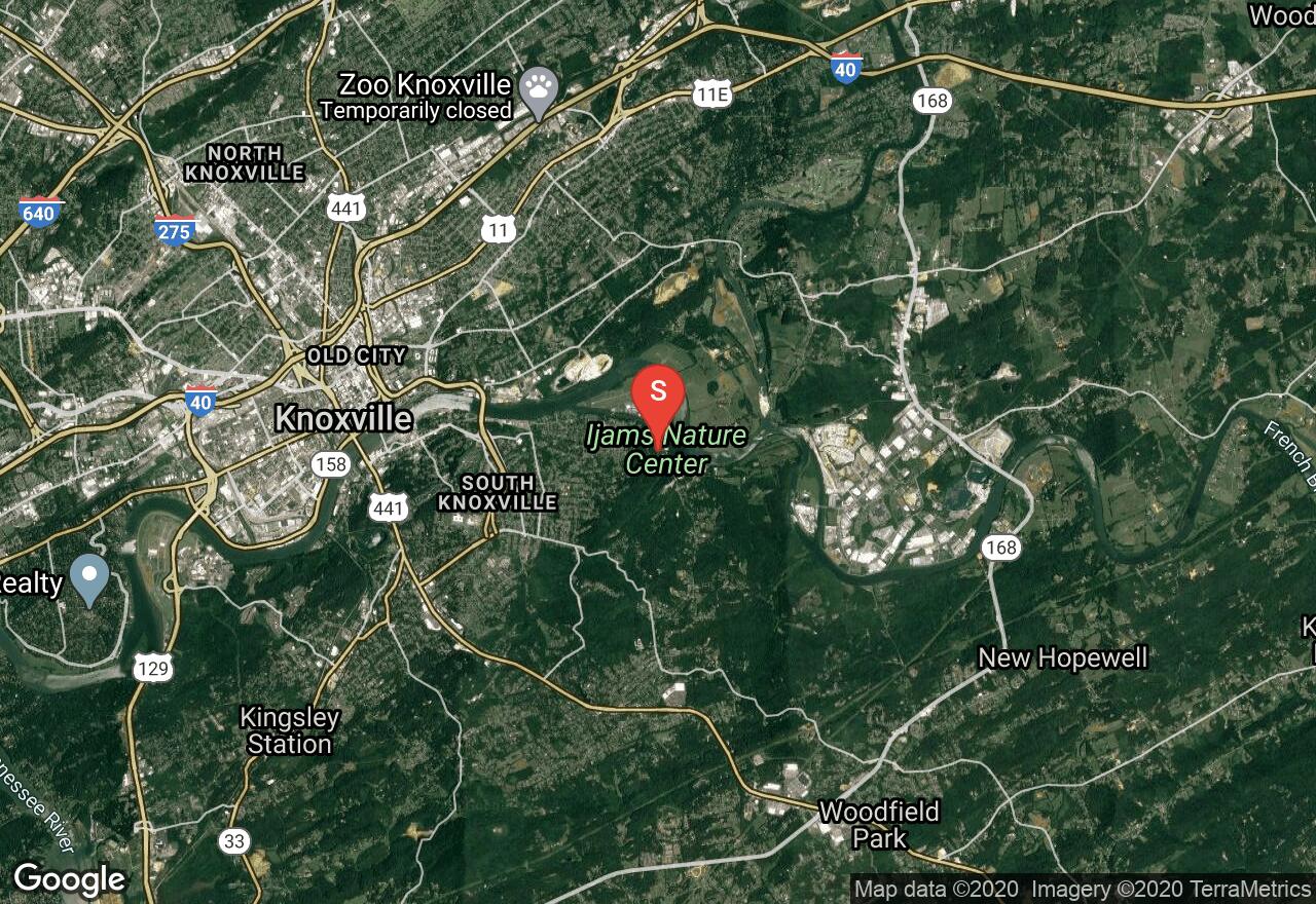
Tennessee, Knoxville
00 :24 hrs
2.1 mi
28.607544 ft
Easy
This section of the Will Skelton Greenway begins at Ijams Nature Center and travels through a scenic valley along the Tennessee River to the Wildlife Management Area on a wide paved path. Hunters with firearms may be seen from the end of August to February.
See more adventures..
Explore complete list
Explore nearby adventures

