Best Waterways in North Carolina
Trying to find the best waterways in North Carolina? Bivy has great hiking, biking, paddling, climbing, skiing, riding and more, with hand-curated trail maps, as well as detailed driving directions.
North Carolina, Swain County
05 :28 hrs
13.7 mi
7.8619995 ft
SK II
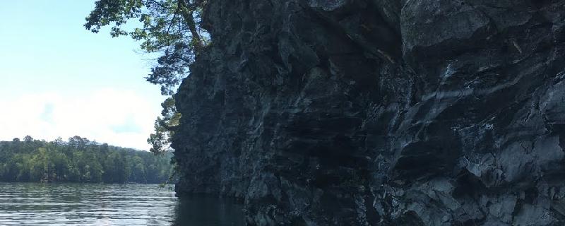
Fontana Lake is a large, meandering body of water in western North Carolina that offers miles of unique and undeveloped shoreline for exploration. The narrow channels and protected bays are an ideal setting for paddlers in search of secluded and protected waters. The lake has over 240 miles of shoreline with multiple launch areas and campsites located at different points around the lake. This paddling trip starts from the Lemmon Branch launch which is a developed ramp with parking and a restroom located in the southeast section of the lake.
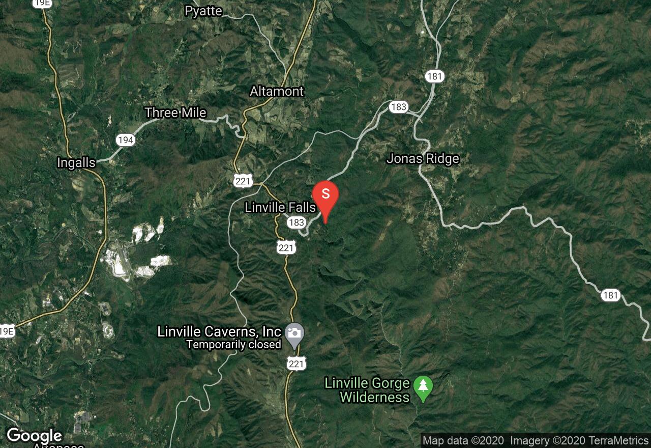
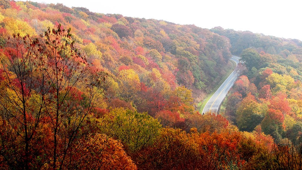
North Carolina, Burke County
05 :21 hrs
17.2 mi
639.2572 ft
VI
The run down the Linville River from the falls is one of the most scenic and epic whitewater runs in the eastern United States and should only be attempted by the most experienced paddlers out there. The advanced run through the steep gorge consists of multiple class IV-VI rapids which are relentless even for even very expert paddlers. The gorge is remote and steep so access and rescue is difficult. Scouting and portaging is also very challenging and can be dangerous in spots. The full stretch between the falls and the 126 bridge is best done as an exhausting two-day trip but there is an option of a shorter day trip by hiking and portaging out the Sandy Flats Trail. The put-in is accessed by a short portage down a steep trail below the falls. The run down Linville Gorge provides awesome scenery and a technically challenging run but do your research and know your limits before even considering taking the run down.
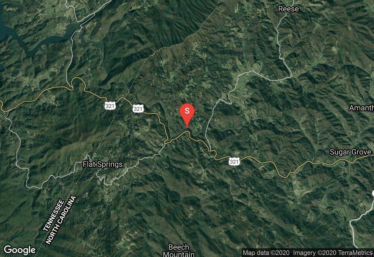
North Carolina, Watauga County
01 :41 hrs
5 mi
151.24799 ft
V
This large stream travels over 60 through diverse terrain of western North Carolina before entering into Watagua Lake in Tennessee. This stretch of the river offers an exciting run through a steep gorge that consists of multiple class III-V rapids with limited visibility. Very large drops and massive boulders result in some very tricky sections that require expert paddling and thorough scouting skills. Rescue on this section of the river can be very tricky as well so only attempt if you are very confident in your abilities. To check current water levels, contact Tennessee Valley Authority.
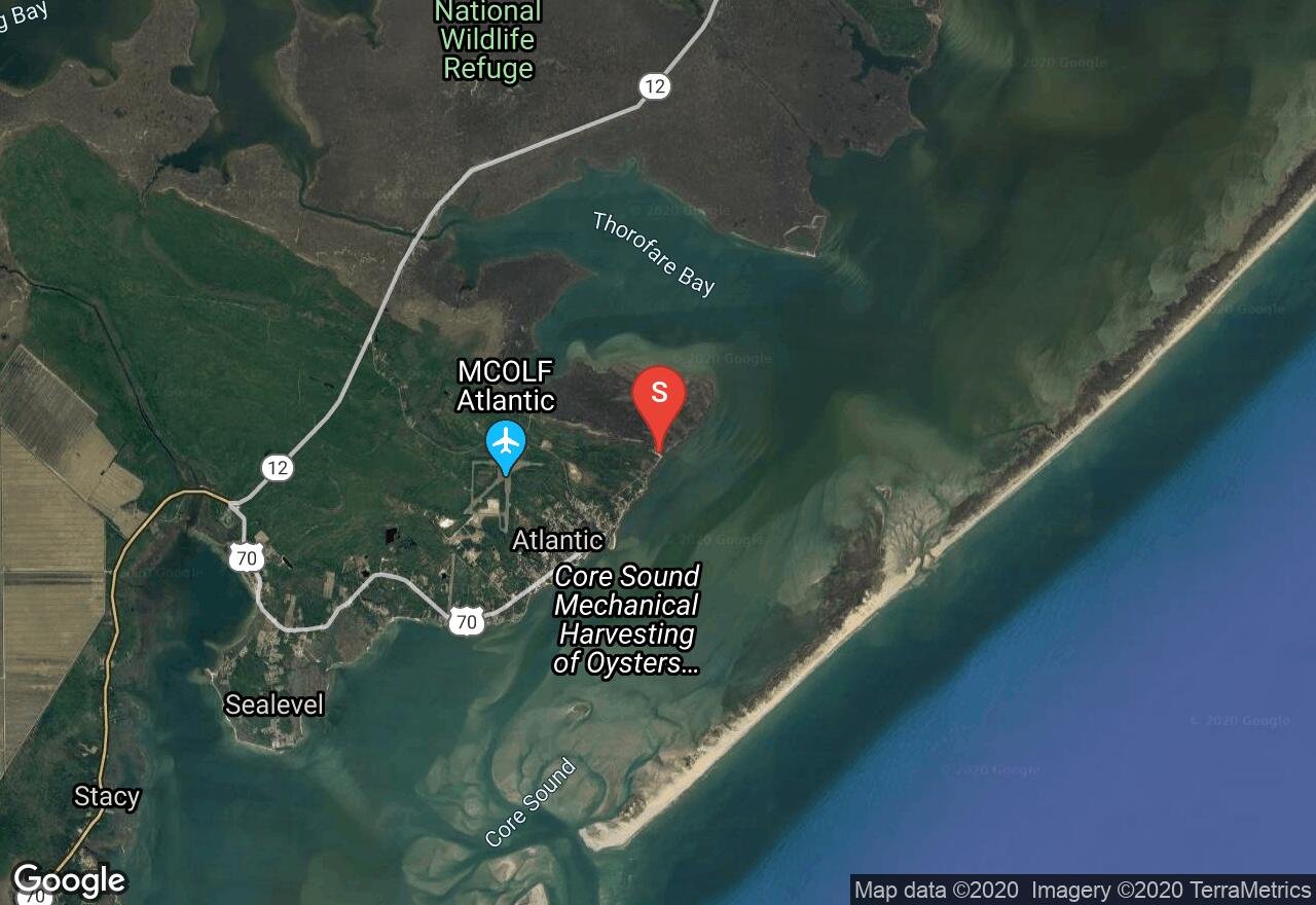
North Carolina, Carteret County
03 :16 hrs
4.1 mi
0.99981236 ft
SK III
Portsmouth Island is a small southern island on the Outer Banks that offers a very secluded and remote destination for paddlers. The island located south of Ocracoke Island is known for beautiful sandy beaches and great shelling opportunity. The trip to the island from Atlantic requires good paddling skills and thorough trip planning as there is a 2-3 foot tide and the area is very secluded. The island is completely undeveloped so come prepared with plenty of food and water and check tide charts before heading out.
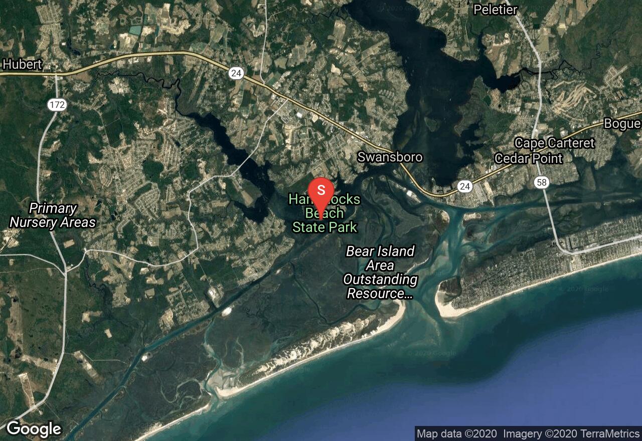
North Carolina, Onslow County
02 :28 hrs
3.1 mi
1.4 ft
SK I
Hammocks Beach State Park consists of very diverse natural habitats, both on the mainland as well as on two islands, and is an excellent destination for paddling and exploration. Starting from the launch on the mainland, the Bear Island paddling trail follows a creek south to Bear Island which is known for its secluded and scenic beaches. The island makes a great camping spot and is only accessible by water so the setting is very peaceful. The route is short and the waters are mostly protected but paddling conditions are greatly affected by the tide so be sure to check the tide charts before setting out.
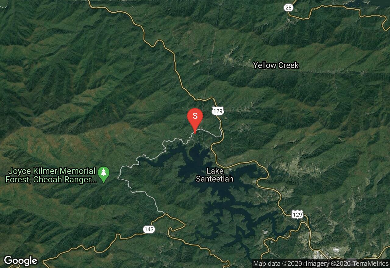
North Carolina, Graham County
03 :24 hrs
9.6 mi
203.80832 ft
IV
The Cheoah River, located in the southwestern corner of the state, runs between Santeetlah Dam and the Little Tennessee River. The river provides a challenging and enjoyable run when water is flowing . The river is usually dry but after extended rainfall it becomes an excellent option for intermediate and advanced paddlers. The first part of the run is best suited for intermediate paddlers with mostly class II-III rapids through boulder fields and over one ledge downstream from the overhead pipe. The second part of the run is more challenging with bigger rocks and higher ledges which can result in class V drops when water levels are high. There are alternate take-outs and put-ins along the way providing paddlers the option of only running the section that suits their abilities. Scouting the river through the second section is advised. The minimum level for the run is 4 feet and there is a gauge near Bearpen Gap on the bridge in the lower section.
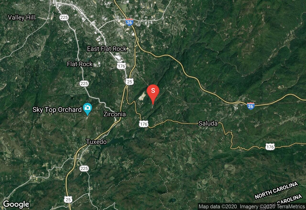
North Carolina, Henderson County
02 :16 hrs
6.9 mi
199.62619 ft
IV
The Green River is a dam-release river that travels through the Blue Ridge Mountains of North Carolina and provides excellent and challenging runs for experienced paddlers. This section starts immediately downriver from the power plant and provides an enjoyable class II-III (IV) run for the first half with a couple of class III(IV) drops/slides that needed to be scouted and run cautiously. The second part of the run, however, is where most of the action is and should only be attempted by the most experienced and adventurous paddlers. Not only does this section offer multiple class V-VI elements but the area is very remote and hiking out is not an easy or short task if you are not able to complete the run by boat. There is not a lot of room for error when running The Narrows so be very confident in your paddling and scouting skills if considering to attempt this run. The river is runnable only when the plant is operating so call ahead to confirm the schedule and current flow conditions. The Narrows can become even more dangerous when the Hungry River is releasing higher levels of water from runoff.
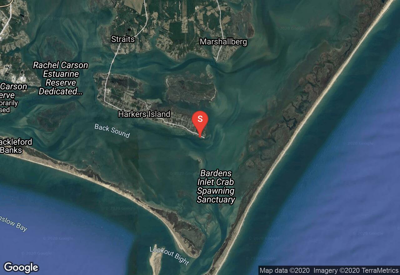
North Carolina, Carteret County
03 :53 hrs
9.7 mi
0.22367847 ft
SK III
Cape Lookout National Seashore is an area of three barrier islands that are almost completely undeveloped and offer opportunity to explore wild and scenic beaches just a short distance off the mainland. The uninhabited islands are great for birding, viewing historic lighthouses, camping, and visiting miles of secluded beach. This paddling trip starts from a public launch on Harkers Island and travels south to the island of Shackelford Banks and over along the shoreline of South Core Banks which is where the Cape Lookout Lighthouse is located. There is strong tidal influence from the inlet so always check the tide charts and plan your trip accordingly. Also watch out for boat traffic and do not paddle near the inlet where strong currents and shoals are present.
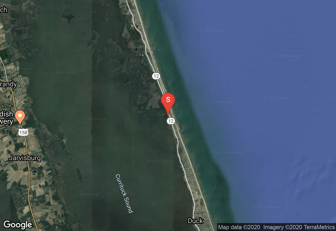
North Carolina, Dare County
03 :04 hrs
7.7 mi
- ft
SK II
The Pine Island Audubon Sanctuary is a protected area of diverse Outer Banks habitats where paddlers can enjoy viewing a wide variety of birdlife from the water. The sanctuary offers lots of small islands and protected water passages for exploration. The maze-like setting can get confusing so be sure to pay attention to where you are going when venturing off. Tidal influence is not a concern in this area and the waters are mostly protected but a northeast wind can make some areas impassible.
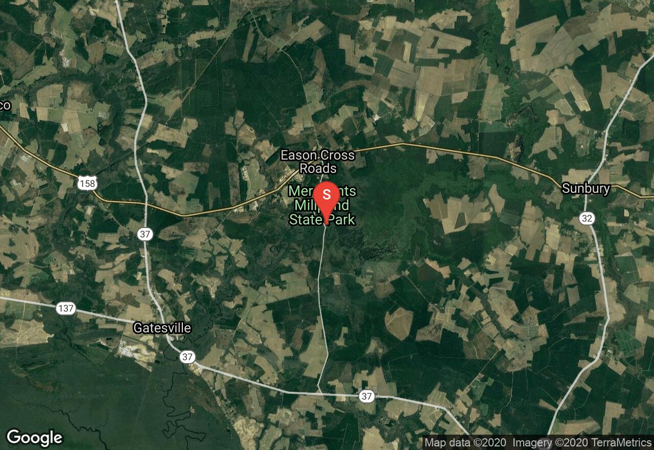
North Carolina, Gates County
02 :12 hrs
4.9 mi
2.1 ft
I
The center of a state park, Merchants Millpond is the park's placid, shallow lake. The best way to explore the park is on the water. The lake is full of water lilies and aquatic vegetation including large trees, adding to a gorgeous paddle. This is said to be one of the most interesting and peaceful lakes to canoe in the state.
See more adventures..
Explore complete list
Explore nearby adventures

