Best Road Biking in Nevada
Trying to find the best road biking in Nevada? Bivy has great hiking, biking, paddling, climbing, skiing, riding and more, with hand-curated trail maps, as well as detailed driving directions.
Nevada, Las Vegas
00 :53 hrs
8.1 mi
52.6015 ft
Easy
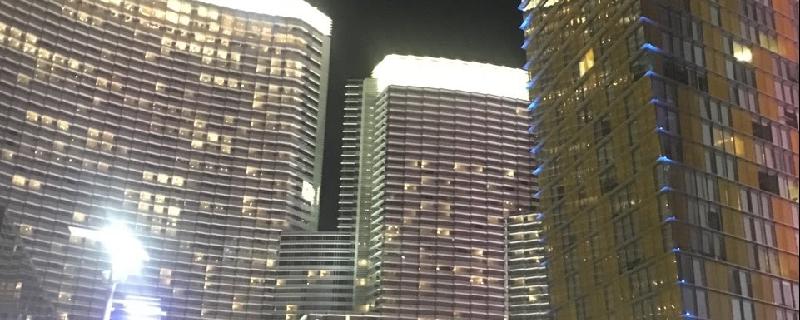
If you’re looking to experience Las Vegas as a tourist on a bike, this may be the adventure for you. Starting from a parking lot on the north end of Vegas, this route leads through the Freemont Street Experience (be prepared to dismount and walk along Freemont Street) and then circles back around to follow Las Vegas Blvd., “the Strip,” southward to the end of the stretch of famous Vegas resorts. Be prepared for heavy and unpredictable traffic, constant changes in construction locations, and lots and lots of people on foot. This ride may be best experienced at night when temperatures are lower.
Nevada, Stateline
07 :38 hrs
72.1 mi
249.33142 ft
Extreme
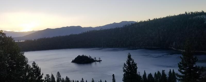
Billed as “America’s Most Beautiful Bike Ride”, the Tour de Tahoe route circumnavigates Lake Tahoe on the area highways. There is an annual event held in September with additional route distances, including shorter rides, a family spectator lake cruise, and even a century distance. Details can be found at http://www.bikethewest.com/tourdetahoe.html
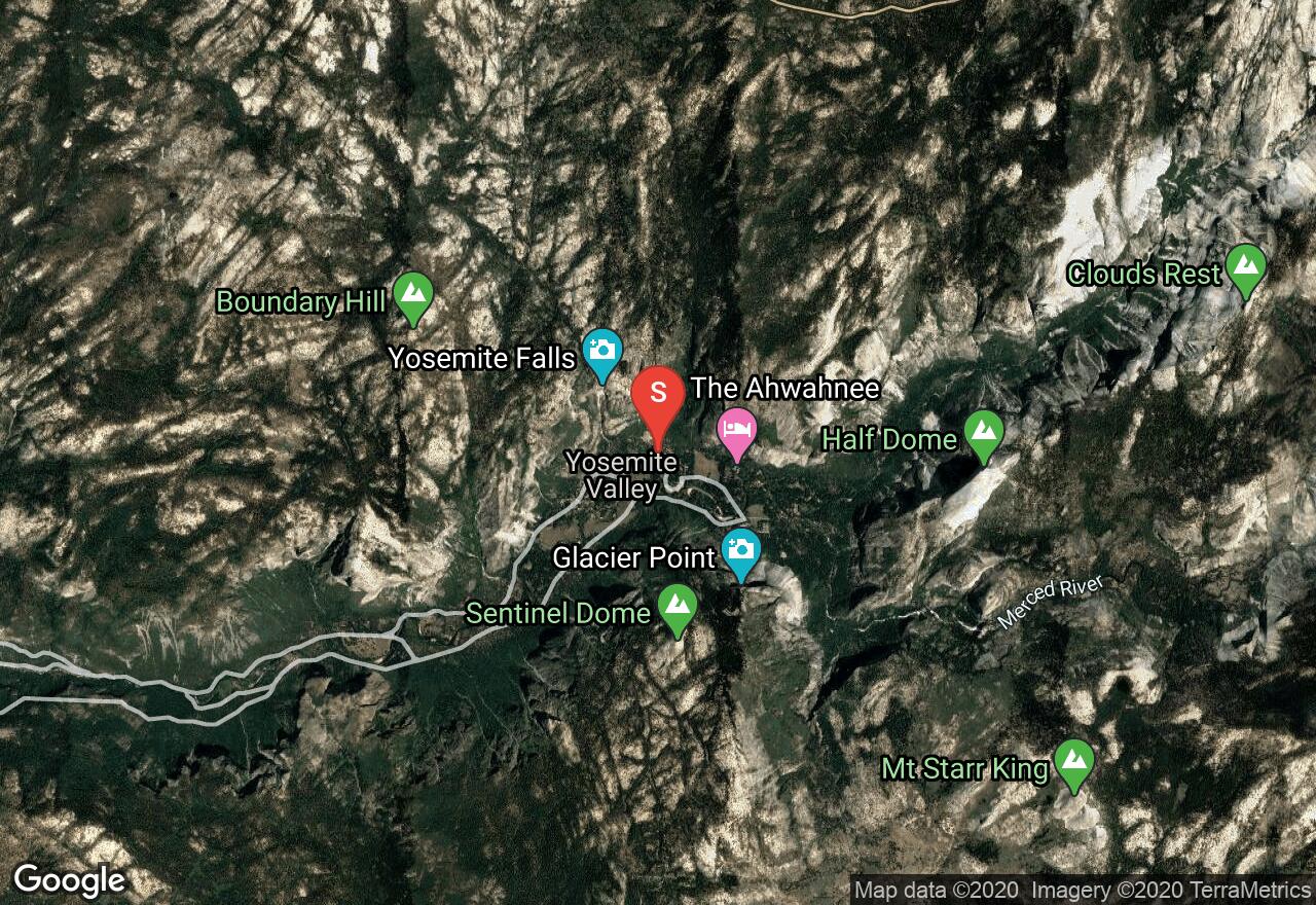
California, Mariposa County
03 :02 hrs
15.4 mi
527.8987 ft
Hard
Above Yosemite Valley floor are some of the most extraordinary views, Glacier Point is where you can find such views. This ride follows Glacier Point Road as it winds through forests and past open meadows to Glacier Point where you'll find views of Yosemite Valley and Half Dome. Be sure to bring a bike lock so you can walk to the overlook point and enjoy the views. It's best to do this ride on a weekday and in the early mornings when traffic is less. Food, water, and restrooms are available in Yosemite Valley, Wawona, and along the ride at Bridalveil Campground (mile 7.8) and at Glacier Point.
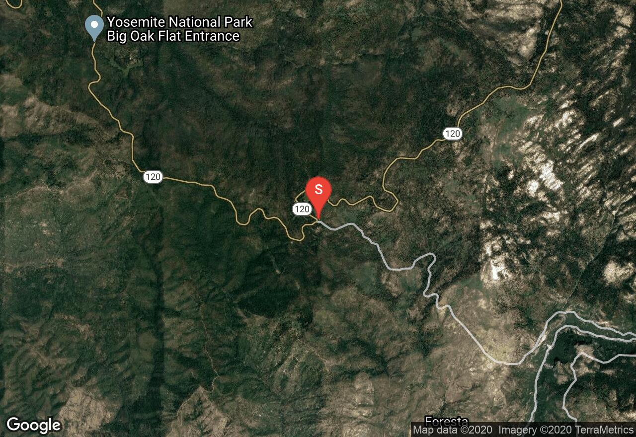
California, Mariposa County
09 :56 hrs
46.6 mi
1150.5098 ft
Extreme
From Big Oak Flat Road to Tioga Pass, this steep and challenging ride follows Tioga Road through northern Yosemite National Park. The road winds through forests and past open vistas, granite slabs, and alpine lakes on its way to the highest paved pass in California. In 46 miles this ride climbs from an elevation of 6,191 feet to 9,941 feet, an elevation gain of 3,750 feet. It's not a steady climb the entire ride and there are a few breaks along the way where the road levels out or is downhill, but these are short lived. There is a fair amount of traffic along the road and it is highly advised to be visible to motorists by wearing bright clothing. If you are not up for a 100 mile ride, there are several campgrounds and day use areas off of Tioga Road to start from instead. Check with the park on opening and closing dates for Tioga Road; early in the season the park will open the road for cyclists only.
California, Mariposa County
00 :48 hrs
8 mi
30.17456 ft
Easy
Yosemite Tour follows a paved bike path that parallels the park roads and loops along the valley floor of Yosemite National Park. This ride allows you to tour the park at a leisurely pace and not worry about slowing down traffic to enjoy the views. The ride is mostly flat with a gentle grade along the road to Lake Mirror. There are bike racks at the lake, bring a bike lock to swim and picnic at the lake. The park offers rental bikes at the Yosemite Lodge at the Falls and Curry Village Recreational Center. Riders under the age of 18 are required by law to wear a helmet. Riding on trails and in meadows is prohibited, stay on the designated bike path and roads.
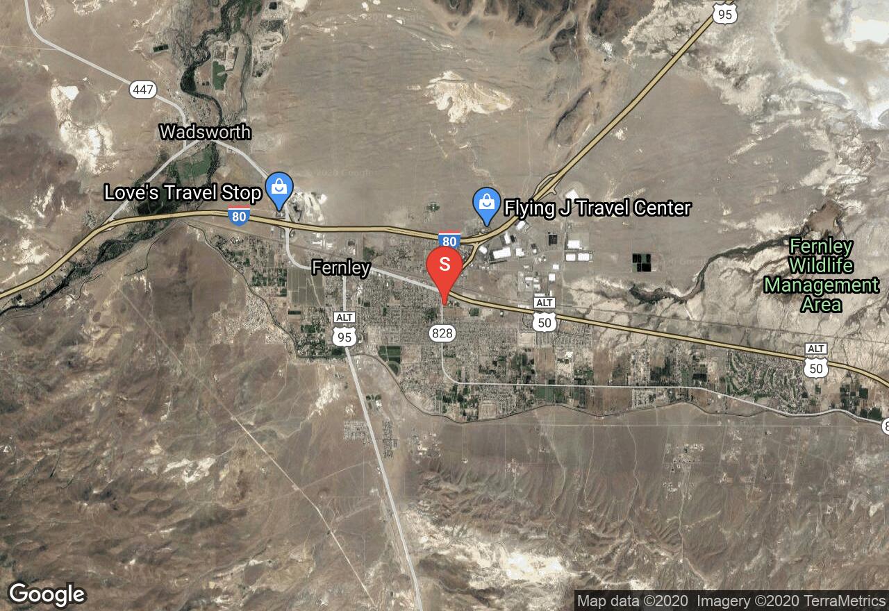
Nevada, Fernley
31 :25 hrs
284.4 mi
1113.9657 ft
Extreme
One of the most challenging road bike rides in the whole U.S., this is typically biked as a multi-day ride. Crossing the Great Basin, this route climbs over 7 distinct mountain ranges, with climbs of upwards of 2000 feet. Traveled from east to west there is an overall downward trend to the road. Most adventurers who take this on will travel with a support vehicle to carry supplies and for safety. The ride travels between Ely and Fernley, Nevada, the two ends of Highway 50, referred to as the Loneliest Road in America due to its very limited traffic, except for the Fernley-Fallon segment. As mapped this adventure runs from Fernley to Ely, though most riders will prefer the east to west direction of reversing this trail.
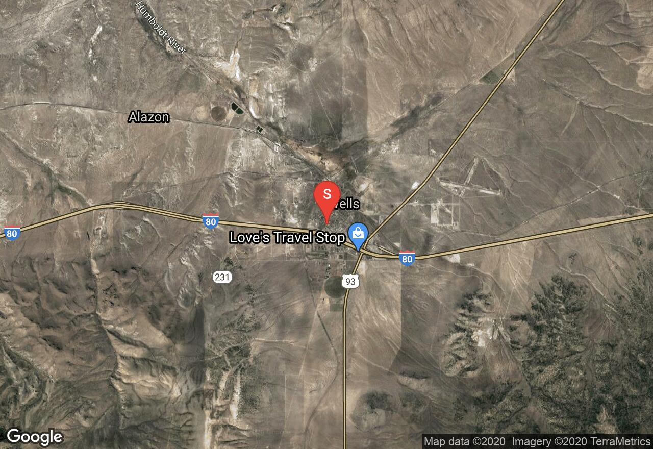
Nevada, Wells
02 :21 hrs
12.1 mi
827.4075 ft
Hard
With a slope averaging about 6% and maxing out above 17%, this is a real climb. Based on an annual event known as “Race to the Angel” this is a popular ride to both race and train. The event also includes a foot race for the 12 mile course. Information on the event can be found at http://www.racetotheangel.org/index.shtml
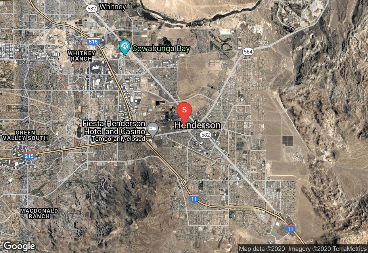
Nevada, Henderson
09 :24 hrs
48.7 mi
352.6869 ft
Extreme
The Tour de Cure routes, designed by the people at the American Diabetes Association’s Tour de Cure, range from an easy 15-mile course to a more vigorous century ride. If you want to get involved with the event please visit http://tour.diabetes.org/site/PageServer?pagename=TC_homepage. These courses remain great routes for bikers even when not roped off for the event, and can also make good training routes for the actual events, as well.
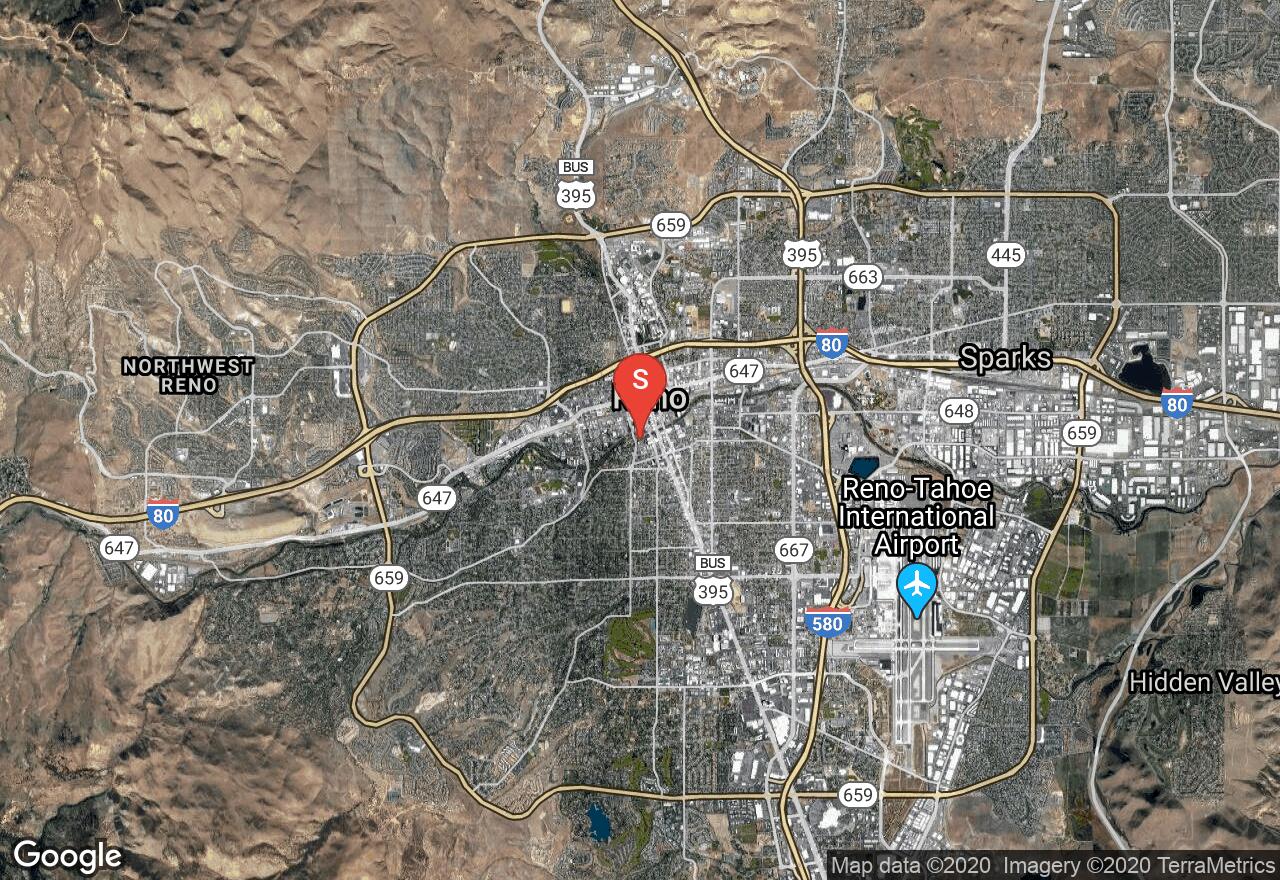
Nevada, Reno
10 :47 hrs
98.9 mi
1369.9241 ft
Extreme
One of the better tour routes through northern Nevada, this tour takes you from Reno to Incline Village on Lake Tahoe, around the western rim of the lake, then down the hill into Carson City, along Walker Lake, and then back into Reno. If you’re looking for an interesting route with lots of possibilities and lots of fun and you aren’t afraid of a little climbing, this one is for you.
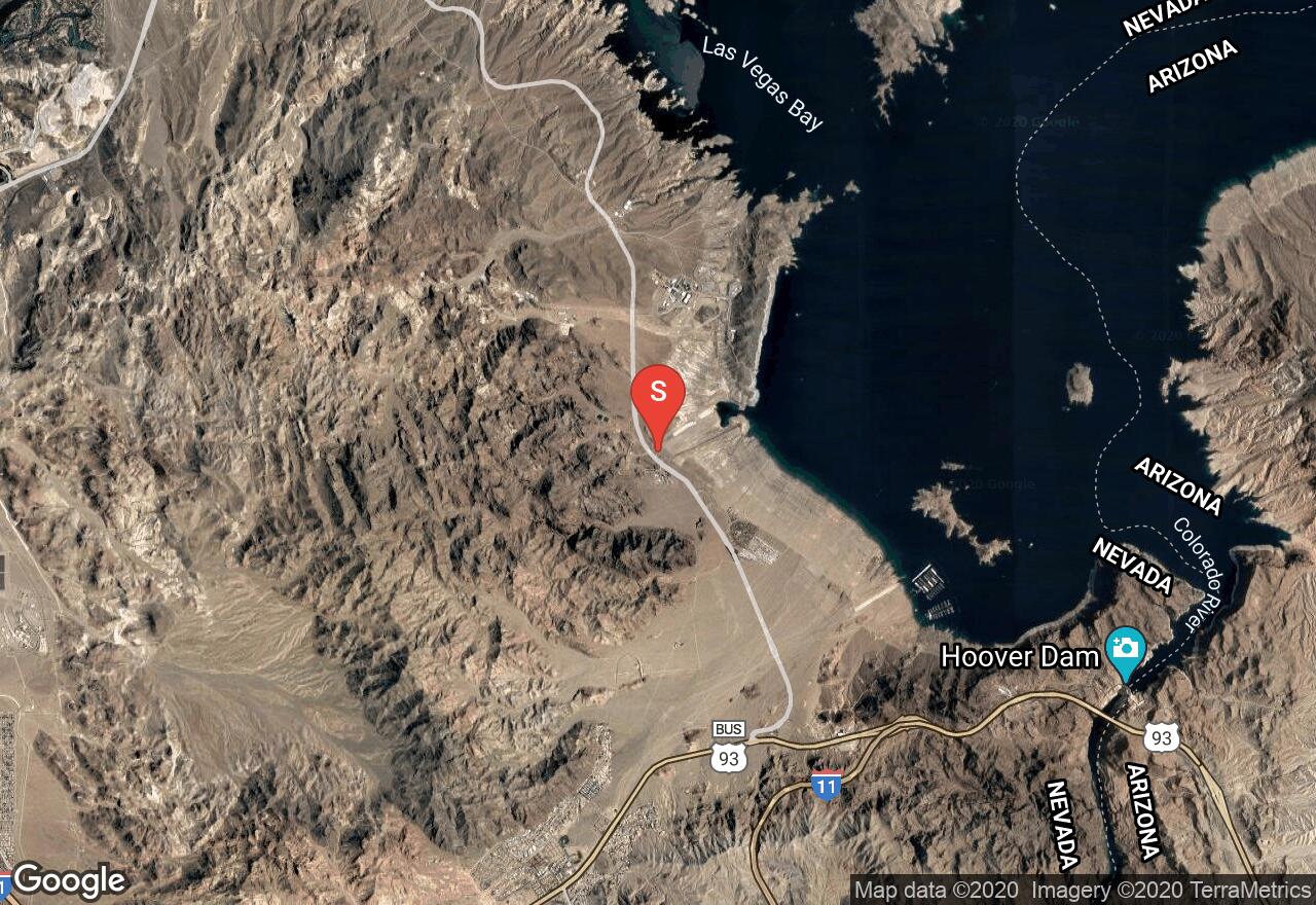
Nevada, Henderson
12 :32 hrs
65.3 mi
343.9821 ft
Extreme
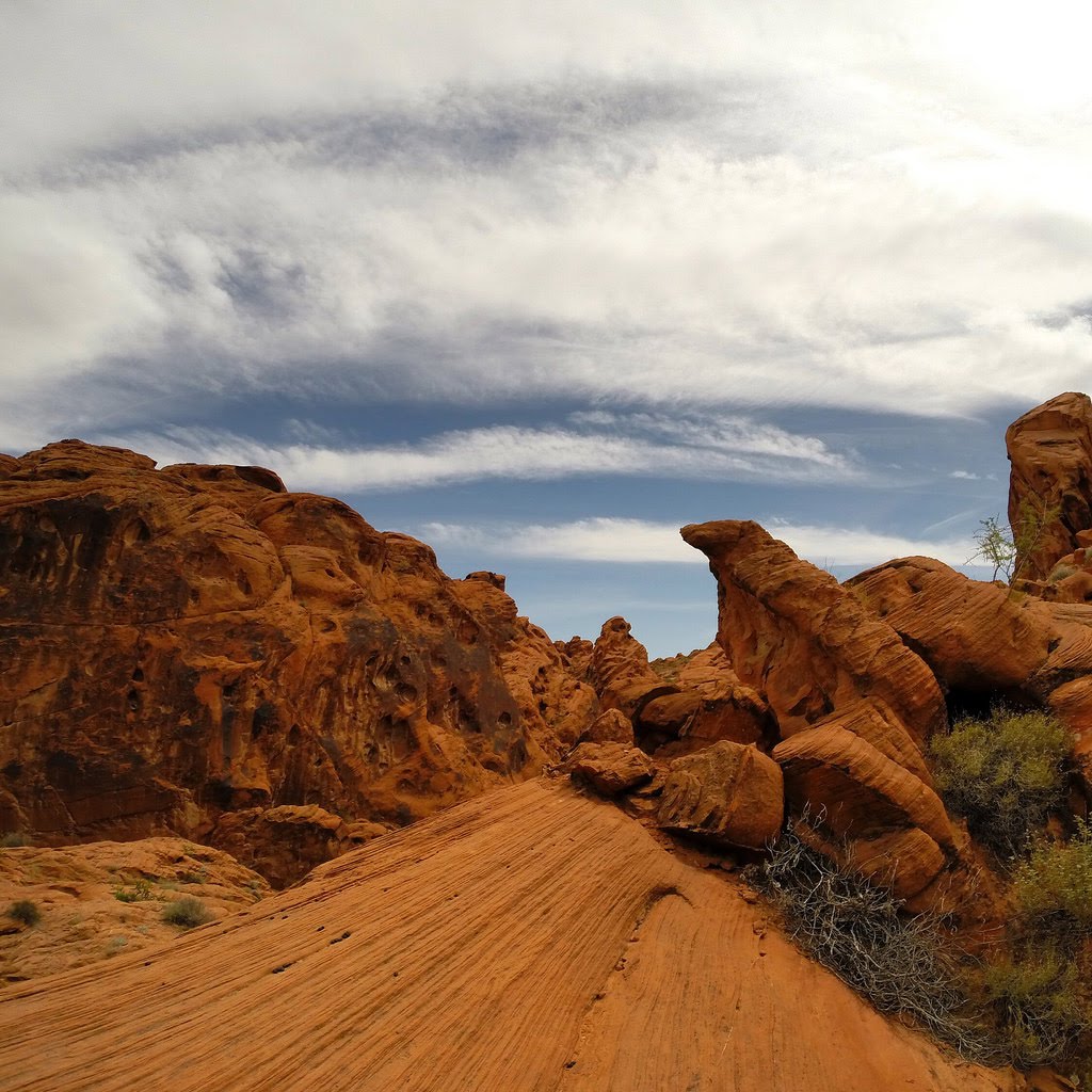
Featuring the Valley of Fire and views of Lake Mead, this route is that used by a very popular annual event in the Vegas area by the same name. Event details can be found at tdfire.com. This route features all the great pieces of a century+ ride, including great climbs (not too difficult at around 8.5% slope), downhills, flat sections, and of course, breathtaking views.
See more adventures..
Explore complete list
Explore nearby adventures

