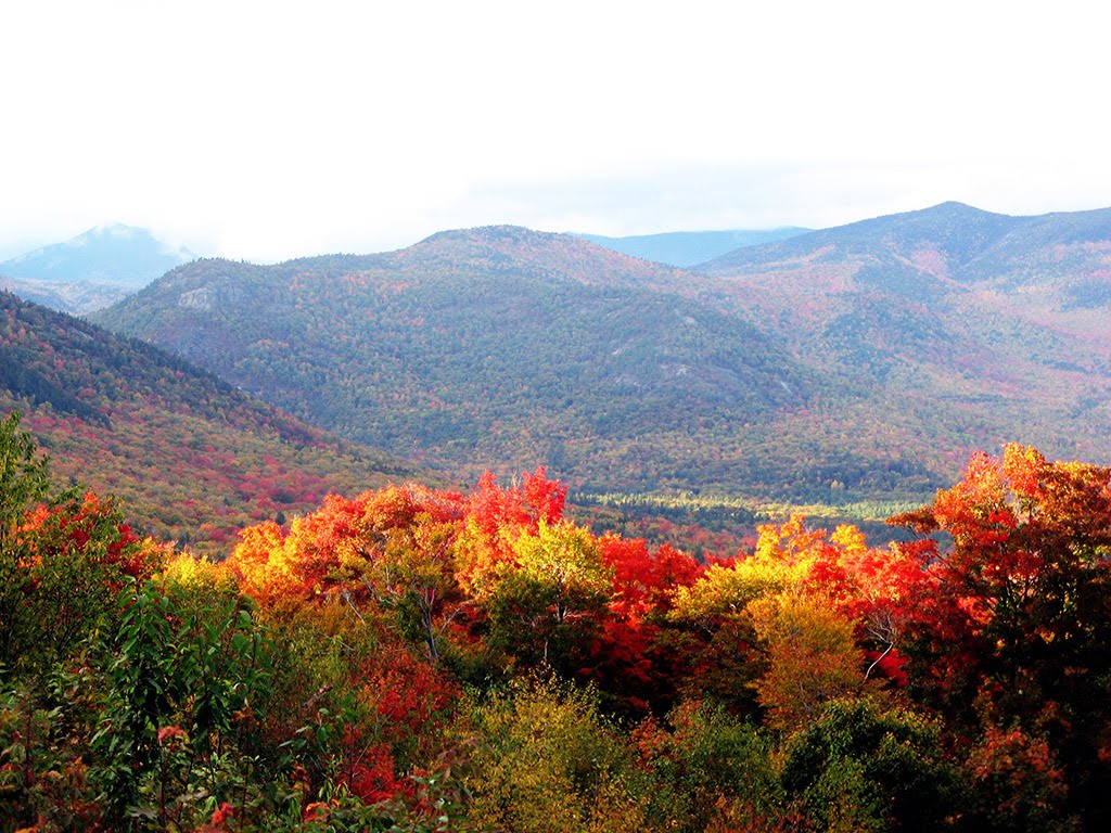
Best Climbing in New Hampshire
Trying to find the best climbing in New Hampshire? Bivy has great hiking, biking, paddling, climbing, skiing, riding and more, with hand-curated trail maps, as well as detailed driving directions.
New Hampshire, Pinkham's Grant
02 :31 hrs
4.3 mi
562.8786 ft
S2
As part of the most famous center for backcountry skiing and snowboarding in the East, This loop offers beginners a safe route that also serves as an access point to more advanced lines if desired. From the AMC Pinkham Notch Visitor Center, ascend the Tuckerman Ravine Trail to the Ranger Station and Hermit Lake shelters at the base of Tuckerman Ravine after 3 miles. This trail can be skinned, however, during late season, it may need to be hiked. From the Ranger Station and Hermit Lake shelters either venture further into the ravine to scope out technical backcountry lines or locate the Sherburne Ski Trail. Return to your vehicle via the Sherburne Ski Trail, which is the best way out of Tuckerman Ravine. This ski trail is of moderate difficulty, and requires caution when descending.
New Hampshire, Coös County
08 :52 hrs
19 mi
405.0631 ft
S2+
This classic north to south traverse through the Pemigewasset Wilderness is classic long-distance backcountry ski tour in New England. Begin from the plowed parking lot on the north side of the Zealand Campground. The terrain is moderate, and travels through wilderness areas along old logging railroads. Enjoy the serenity of the the wilderness as you follow rivers and pass waterfalls enroute to reaching your destination at the Lincoln Woods Trailhead/Visitor Center. To begin, ski along on the unplowed Zealand Road (shown here), or take the Spruce Goose Trail to reach Zealand Trail. After reaching Zealand Trail, it is another 2.7 miles to the AMC Zealand Falls Hut. From the hut, continue south to Thoreau Falls Trail. Connect to the Wilderness Trail that links into the Pemi East Side Trail leading to your destination.
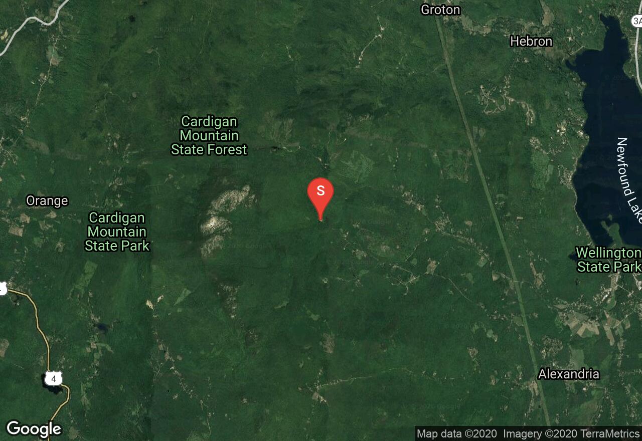
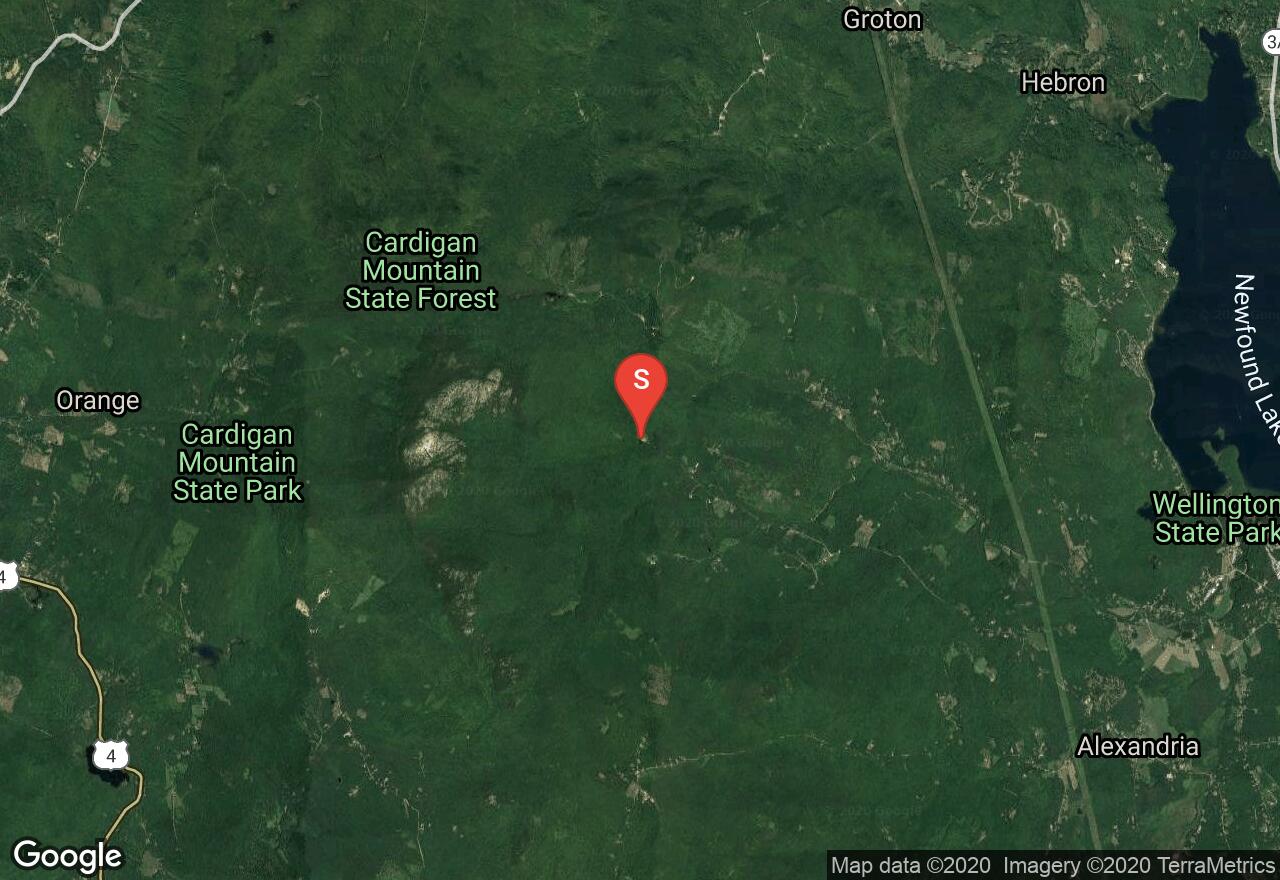
New Hampshire, Grafton County
02 :34 hrs
4.6 mi
518.45996 ft
S2+
Located on the east side of the Cardigan summit ridge, this classic route descends down to Appalachian Mountain Club’s Cardigan Lodge. Drive to the end of Shem valley Road and park at the Cardigan Lodge. From the lodge begin on Holt Trail, after reaching the “grand Junction”, continue straight ahead to merge onto the Alexandria Trail. From PJ Ledge, continue to ascend to the summit via Clark Trail. Depending on snow levels, the summit cone may or may not be skiable and may require crampons to reach the true summit. Descend via Clark Trail to meet up with Alexandria Trail which offers lots of turns down sustained and steeper terrain. After reach the Grand Junction on your descent, you can either finish back to the lodge via the Holt Trail, (continue straight), or turn right onto the unmarked but well established Kimball Trail which is marked with blue blazes. After an easy ascent to a clearing upon a knoll, the Kimball Trail heads east through a softwood forest ending back at the lodge.
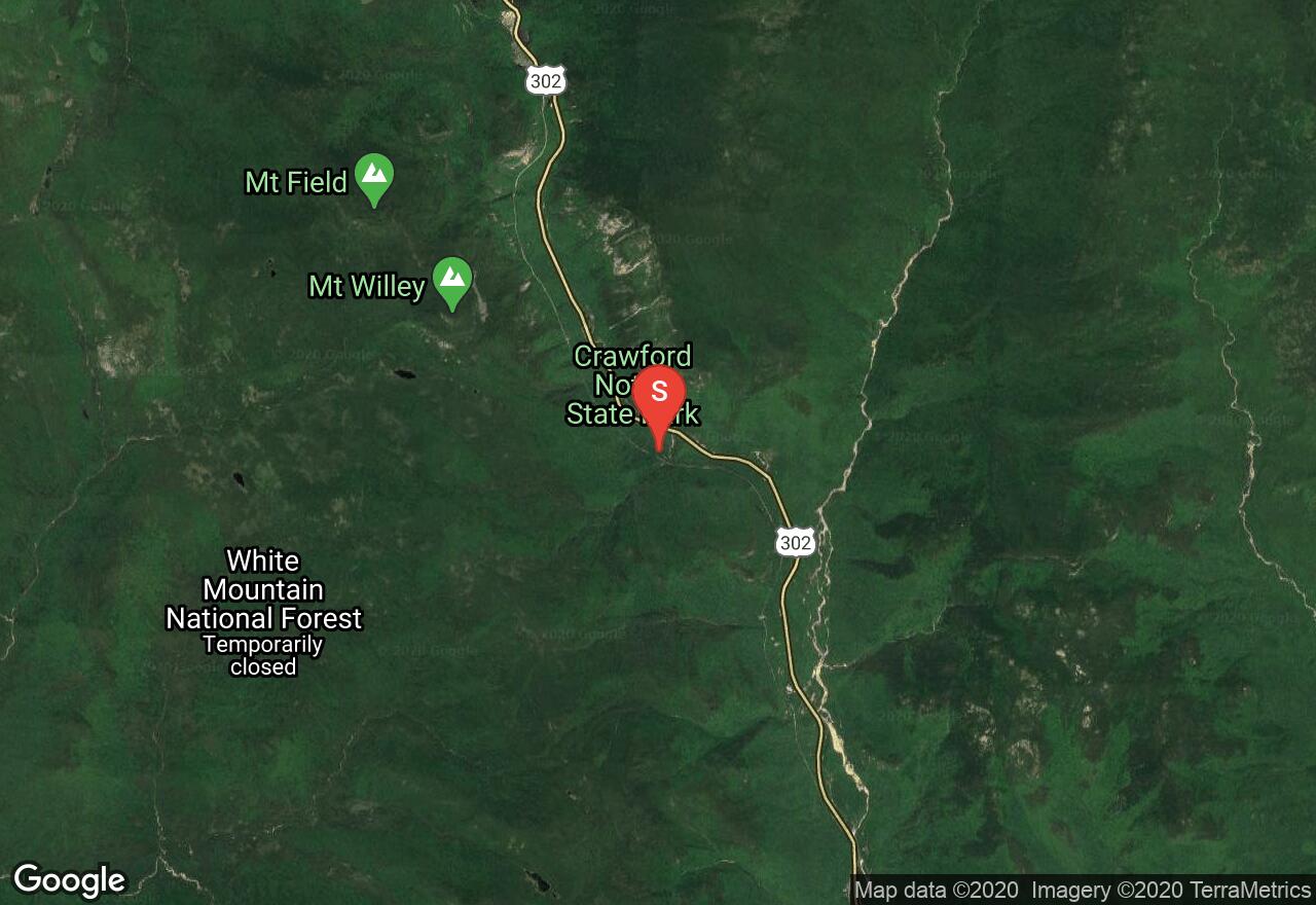
New Hampshire, Hart's Location
00 :37 hrs
0.8 mi
131.26852 ft
2
Guided waterfall Rappelling trip. 25 minute moderate hike followed by Rappelling a beautiful 200 foot waterfall. http://www.nemountaineering.com/rappelling/waterfall-rappelling/
New Hampshire, Grafton County
02 :37 hrs
4.7 mi
516.74194 ft
S2+
Mount Cardigan Via Duke's and Alexandria Ski Trail Located on the east side of the Cardigan summit ridge, this classic route descends down to Appalachian Mountain Club’s Cardigan Lodge. Drive to the end of Shem valley Road and park at the Cardigan Lodge. From the lodge begin on the Manning Trail. From the top of the pasture connect with Duke’s trail and continue to ascend to it’s end on open snowfields back to the Manning Trail. Some skiers opt to start their run from here and follow ascents tracks back down. Others decide to continue their ascent to the Firescrew summit via the Manning Trail following the yellow blazes. From the summit enjoy great views before following your ascents tracks back down to the lodge. For those looking for a longer tour, continue via Mowglis trail to the true summit of Mount Cardigan. From here, descend via Clark Trail to meet up with Alexandria Trail which offers lots of turns down sustained and steeper terrain. Link into the Holt Trail to make it back to the lodge.

New Hampshire, Sargent's Purchase
03 :37 hrs
5.9 mi
895.0945 ft
S5
This tour to the Tuckerman glacial cirque begins at the Pinkham Notch Visitors Center and climbs the Tuckerman Ravine Trail through dense woodlands to the Hermit Lake Shelters (a good place to stop and inquire about mountain conditions). You are likely to find a well-established boot pack kicked in to climbers right of the cirque but one should never count on anything. This is perhaps the line with the finest aesthetics of any in the Tuckerman cirque. It exchanges absolute steepness for length and quality. The return to the Pinkham Notch Visitors center is via the John Sherburne Ski Trail, a well-placed and well-maintained route specifically for skiers descending from Tuckerman Ravine.
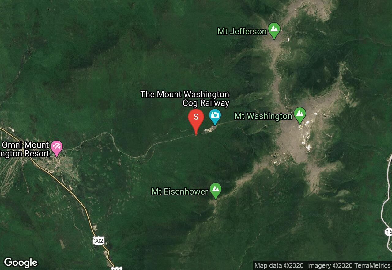
New Hampshire, Thompson and Meserve's Purchase
05 :24 hrs
8.3 mi
1101.4636 ft
S4
Pipeline Gully is one of the most popular lines at Great Gulf, which is the largest glacial cirque within the White Mountains. From the lower Cog Railway parking area, ascend up along side the railroad tracks. After reaching the top of the ridge, head north along the Mount Clay Loop Trail. Pipeline Gully begins from the Mount Clay summit ridge and points you straight down to Spaulding Lake. The route is narrow most of the descent and requires some mandatory air as you drop over an ice bulge. Towards the bottom things open up slightly onto snowfields above Spaulding Lake. Follow your tracks back up, or ascend via the Great Gulf/Gulf Side Trail (shown here). Another popular option is to ascend back up via Airplane Gully as it is a shorter hike and less steep. Drop in for run number 2 or choose from other lines in the area. To head back to your vehicle, follow the Ammonoosuc Trail (if snow levels allow), or follow you ascent tracks along the railroad tracks. Exercising extreme caution and good mountaineering judgment should always be used when skiing in the Great Gulf.

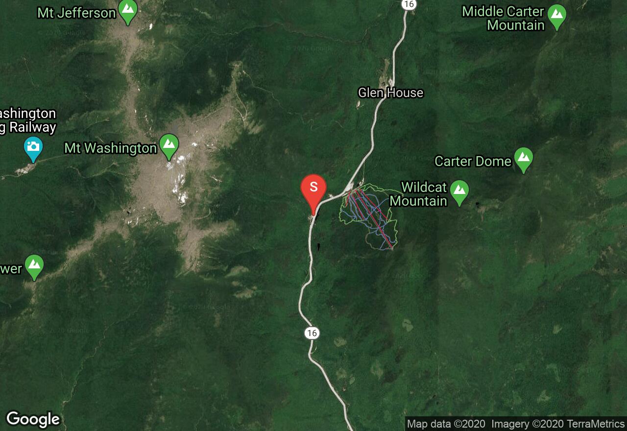
New Hampshire, Pinkham's Grant
03 :38 hrs
5.9 mi
910.6899 ft
S4-
Right Gully is located in Tuckerman Ravine, which is the most popular backcountry skiing location in the East. From the AMC Pinkham Notch Visitor Center, ascend the Tuckerman Ravine Trail to the Ranger Station and Hermit Lake shelters at the base of Tuckerman Ravine after 3 miles. This trail can be skinned, however, during late season, it may need to be hiked. From the Ranger Station and Hermit Lake shelters venture further into the ravine via Tuckerman Ravine Trail. From here, there are many steep and technical lines to choose from. Right Gully is located between the “Sluice” and “Lobster Claw” lines, on the right hand side of the bowl. Many ascent options exist to reach the top of the bowl, the line shown here shows the Right Gully Ascent line, which provides access to a lot of the lines on this side of the ravine. Start the ascent near the Lunch Rocks and ascend up headed north. Once at the top of the ridge, turn around and head right back down along your ascent tracks. This line is wide at the top and at the bottom, narrowing only slightly through the center, allowing for many option to work in as many turn as possible. To return to your vehicle, take the Sherburne Ski Trail, which is the best way out of Tuckerman Ravine.

New Hampshire, Grafton County
02 :39 hrs
1.9 mi
489.93274 ft
S2+
Located on the east side of the Cardigan summit ridge, this classic route descends down to Appalachian Mountain Club’s Cardigan Lodge. Drive to the end of Shem valley Road and parka t the Cardigan Lodge. From the lodge begin on the Manning Trail. From the top of the pasture connect with Duke’s trail and continue to ascend to it’s end on open snowfields at the Manning Trail. Some skiers opt to start their run from here and follow ascents tracks back down. Other decide to continue their ascent to the Firescrew summit via the Manning Trail following the yellow blazes. From the summit enjoy great views before following your ascents tracks back down to the lodge. The descent features a long traverse with lots of room to carve some turns.

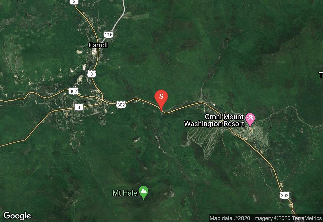
New Hampshire, Thompson and Meserve's Purchase
05 :16 hrs
8.1 mi
1101.4636 ft
S4+
Airplane Gully is one of the most dominate lines at Great Gulf, which is the largest glacial cirque within the White Mountains. From the lower Cog Railway parking area, ascend up along side the railroad tracks. After reaching the top of the ridge, head north. Airplane Gully is located north of the junction of Westside trails and Gulfside. An obvious boulder is located northeast of the trail junction which is used as a landmark to lead to the gully. Ski through or jump off the cornice to begin things off. Work in a couple turns before things get narrower and boulders limit you to only 15 feet of skiable terrain. After mid-descent, things soon begin to open up as the terrain spits you left towards Spaulding Lake. Most skiers opt to stop above the brush line as they near the lake. This shortens the hike back up to the top. Follow your tracks back up, or ascend via the Great Gulf/Gulf Side Trail (shown here), although hiking back up Airplane Gully is a shorter hike. Drop in for run number 2 or choose from other lines in the area. To head back to your vehicle, follow the Ammonoosuc Trail (if snow levels allow), or follow you ascent tracks along the railroad tracks. Exercising extreme caution and good mountaineering judgment should always be used when skiing in the Great Gulf.
See more adventures..
Explore complete list
Explore nearby adventures

