Best Cross Country Skiing in Nevada
Trying to find the best cross country skiing in Nevada? Bivy has great hiking, biking, paddling, climbing, skiing, riding and more, with hand-curated trail maps, as well as detailed driving directions.
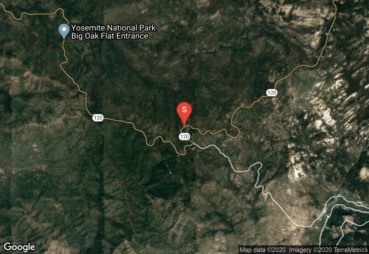
California, Mariposa County
06 :03 hrs
10.6 mi
441.89294 ft
Expert
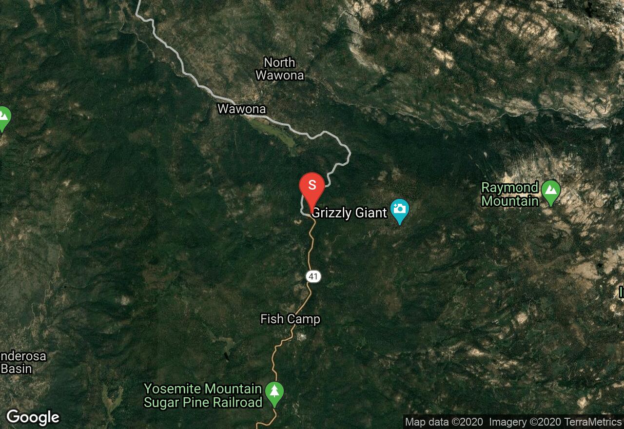
In winter the Mariposa Grove Road is not plowed and instead its open for skiers and snowshoers to explore the snow covered gigantic sequoias. Mariposa Grove is one of 75 groves that is home to some of the largest living organisms. The road meanders through the forest and makes a lollipop loop past some of the more famous trees of the grove, such as, the Fallen Monarch and the California Tunnel Tree. Check with Yosemite National Park for information on road closures and more specific dates on when this trail is open for winter activities. Restrooms are available at the fee station just before the parking lot for the trailhead.
Nevada, Douglas County
00 :56 hrs
1.9 mi
28.992188 ft
Easy
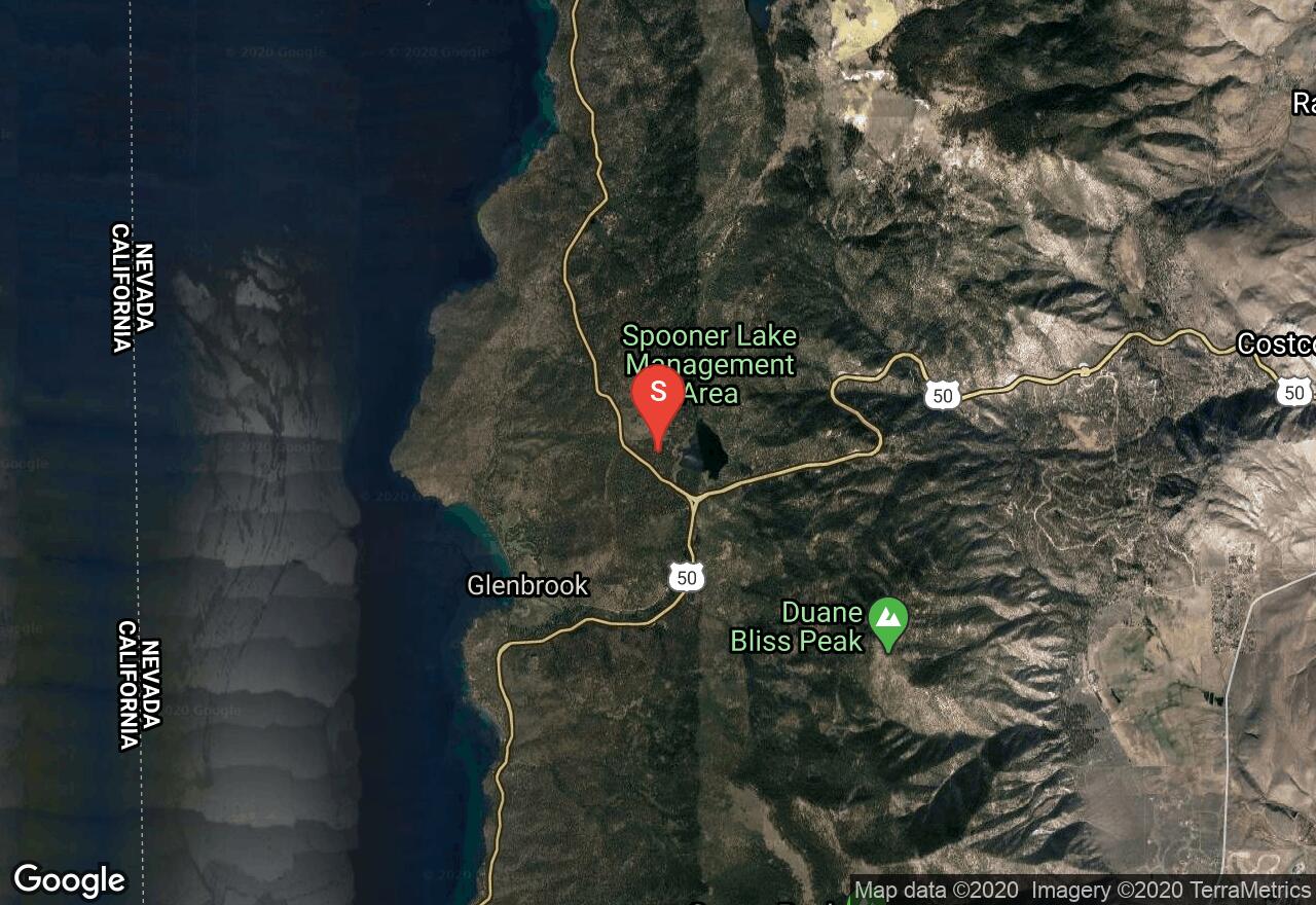
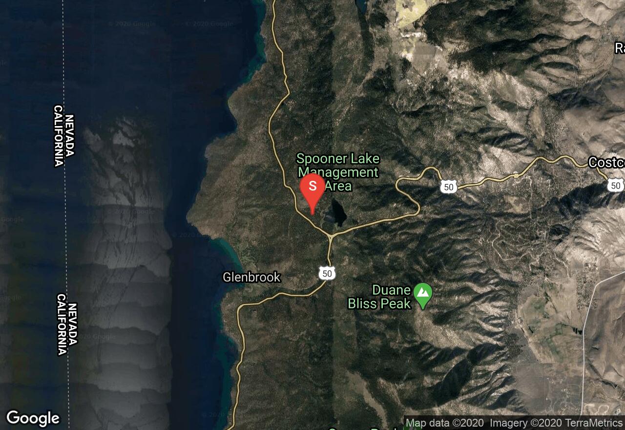
One of the few great places for cross country skiing on the Nevada side of Lake Tahoe, the Spooner Lake area offers a few great looping trails for Nordic Skiers. This loop is a beginner level loop that offers everything that the more advanced courses offer except the difficulty.
Nevada, Carson City
02 :40 hrs
4.2 mi
194.19727 ft
Hard
One of the few great places for cross country skiing on the Nevada side of Lake Tahoe, the Spooner Lake area offers a few great looping trails for skiers. This loop is an intermediate level loop that offers great views, great snow, and a great Nordic workout.
California, Mariposa County
03 :08 hrs
5.3 mi
260.30823 ft
Expert
Gin Flats Loop briefly follows the unplowed Tioga Road that is closed in winters as it skirts the edge of a meadow before reaching a narrow trail. The first half of the loop follows a trail as it climbs through the forest and intersects Tioga Road. The other half of the loop follows Tioga Road back to the trailhead. There are fewer trees along this section and better views. It is much easier to do this trail clockwise than counter-clockwise due to the difference in slope grade. Check with Yosemite National Park for up to date road closures and more specific dates for when this trail is open.
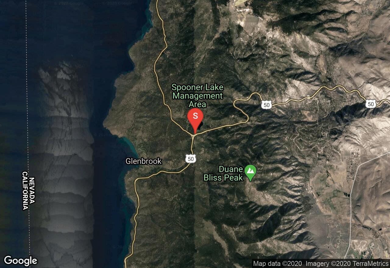
Nevada, Douglas County
01 :10 hrs
2.4 mi
25.041016 ft
Easy
Located just 2 miles from Lake Tahoe, Spooner Lake Loop is an easy, fun trail for all types of outdoor enthusiasts. With only small changes in elevation, this is an excellent spot for individuals and groups of all abilities. Visitors will enjoy beautiful flora including pine, fir and aspen, and bird-watchers will find various noteworthy specimen, including Osprey, Nuthatches, and Woodpeckers. This spot is popular with locals year-round due to its off-the-lake location and the variety of potential activities.
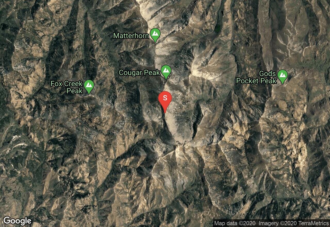
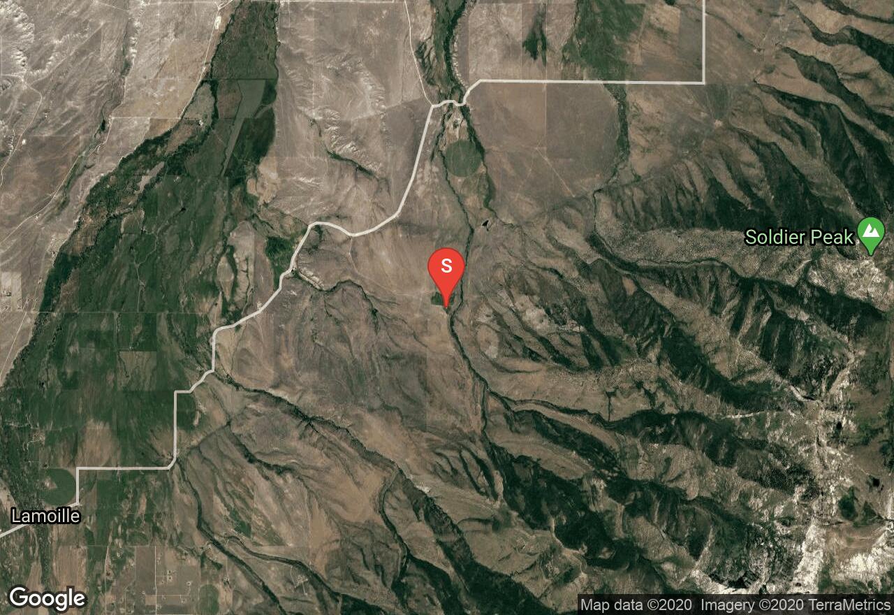
Nevada, Elko County
01 :23 hrs
1.2 mi
130.28687 ft
Moderate
An extension of the Jarbidge Lake Trail, this trail will take you to the larger and possibly more beautiful Emerald Lake, a tarn on the slopes below Cougar Peak. This short trail is worth the extra effort required, particularly since this hidden gem is relatively unknown and not frequented by many. Though this trail is rated at low difficulty, keep in mind that it is time and effort added onto the longer and harder Jarbidge Lake Trail.
Nevada, Elko County
01 :55 hrs
1.9 mi
160.72937 ft
Moderate
Known for their out-of-place greenery, the Ruby Mountains are some of Nevada’s most popular places to get out into nature. The Cold Creek trail is just such a place where the verdant nature of the trail seems almost out of place in the otherwise dry wilderness. This trail leads along cold creek for most of its extent, rising above for majestic views of beautiful canyons at its end.
Nevada, Elko County
04 :09 hrs
4.6 mi
266.2495 ft
Expert
This trail passes along Toyn Creek, below a road as you enter the Ruby Mountains. This is a great trail for those who want an easier trail with great access to the amazing beauty of the Ruby Mountains. A road passes just above this trail along its whole length, making extraction easy should the trail prove too difficult for younger or less-experienced hikers. The Ruby Crest trailhead is located just past the end of this trail.
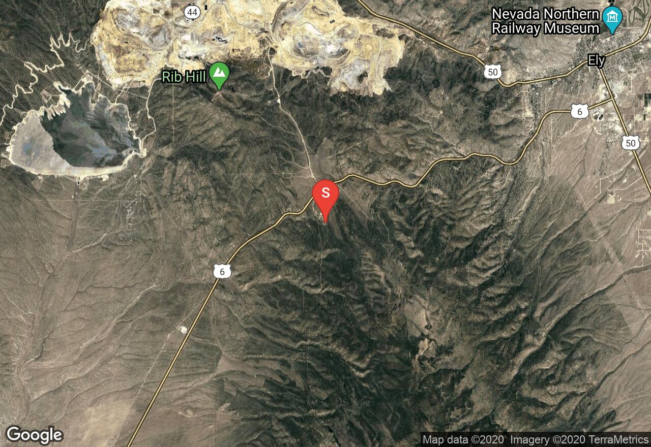
Nevada, White Pine County
03 :20 hrs
3.6 mi
114.362305 ft
Hard
Ranger Trail differs from other trails in the Schell Creek Range because rather than seeking a destination of its own, the purpose of this trail is to connect various other trails together. This third segment of 3.6 miles (one-way distance) is the shortest section of this 41 mile trail. This trail, however, is in some ways more challenging than the trails in connects because it moves over the intervening ridgelines, making this a path with lots of ups and downs. For the full trail see segments 1-5 which all connect end to end (but may be mapped in opposing directions according to access to each segment).
See more adventures..
Explore complete list
Explore nearby adventures

