Best Rafting in Missouri
Trying to find the best rafting in Missouri? Bivy has great hiking, biking, paddling, climbing, skiing, riding and more, with hand-curated trail maps, as well as detailed driving directions.
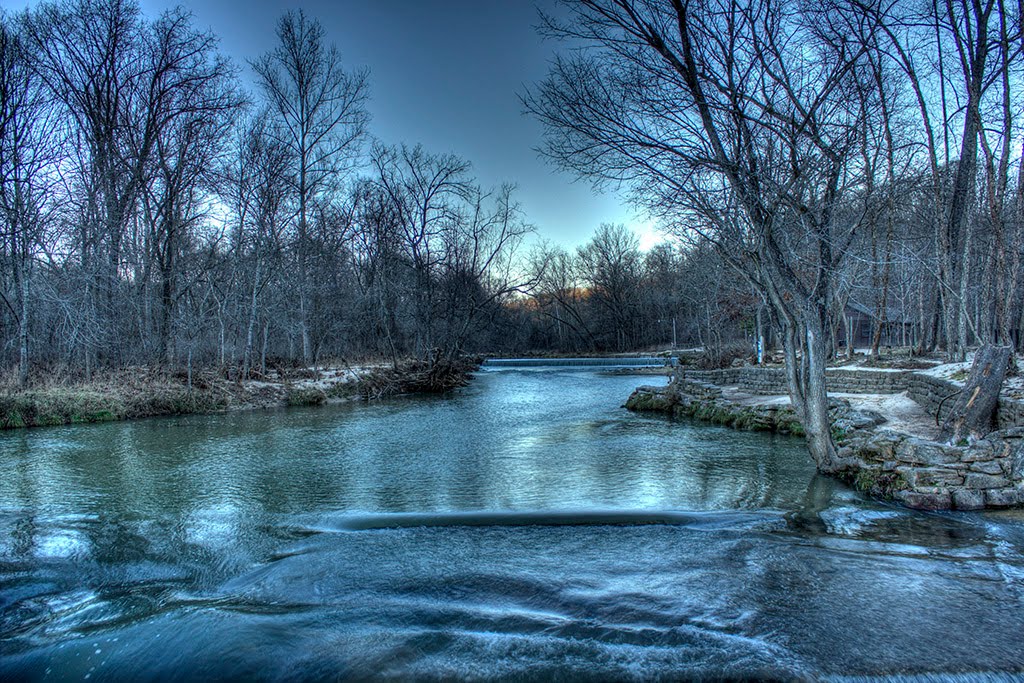
Missouri, St. Francois County
06 :56 hrs
16.3 mi
- ft
III
This straight river is definitely not a "float" river. It can be challenging even to the experienced paddler. There are boulders throughout the river making it only possible to do in high waters. There are shut-ins all along the river. This section of the river has Class II and Class III rapids. At the Roselle Access, about 14 miles in, there are some good rapids with fast riffles. The next 1.5 miles will have some 3 sharp drops and continuous rapids. The steepest drop is 4-6 feet. A portage is advised at the Silver Mine Dam. The left side is runnable, but can swamp the craft in high waters due to a high wave that is produced.
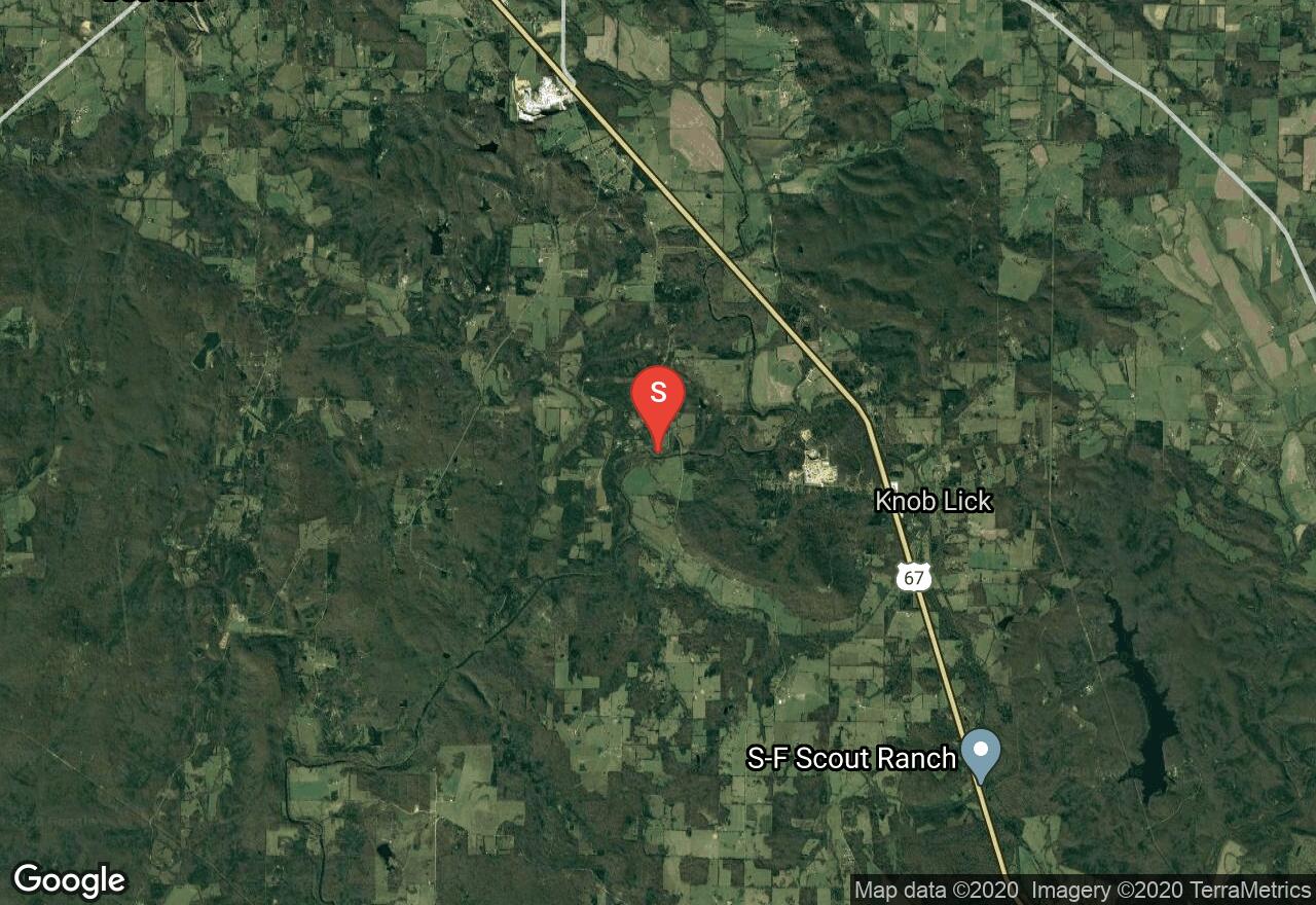
Arkansas, Marion County
10 :47 hrs
24.2 mi
39.684723 ft
I
This paddle takes you through some of the finest flatwater paddling in the country. The lowest reach of the Buffalo National River, it wanders through beautiful hardwood blanketed Ozark hill country. Given its length it is best tackled as a two-day outing especially given the strenuous up river paddle once you reach the confluence with the White River. Camping opportunities along the route are numerous and of good quality.
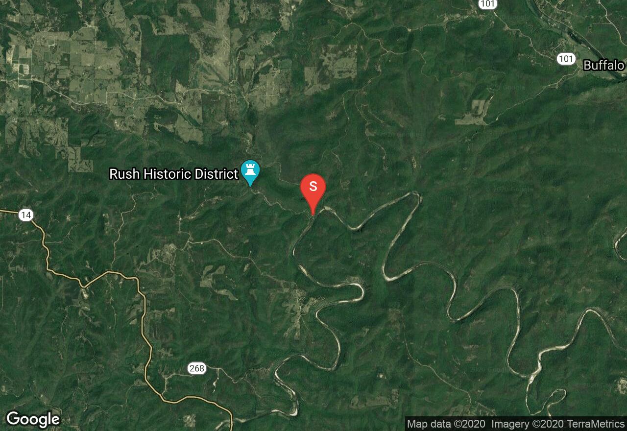
Missouri, Iron County
04 :59 hrs
12 mi
41.374443 ft
III
Big Creek is a tributary of the St. Francis River. The shut-ins along Big Creek add nicely to the scenery. You will see them as you enter Sam A. Baker State Park. There are sections with rapids once you reach the shut-ins where a portage may be necessary. There is a paved ford just over 2 miles in the will require a portage. Your take-out will be shortly after you enter the St. Francis River.
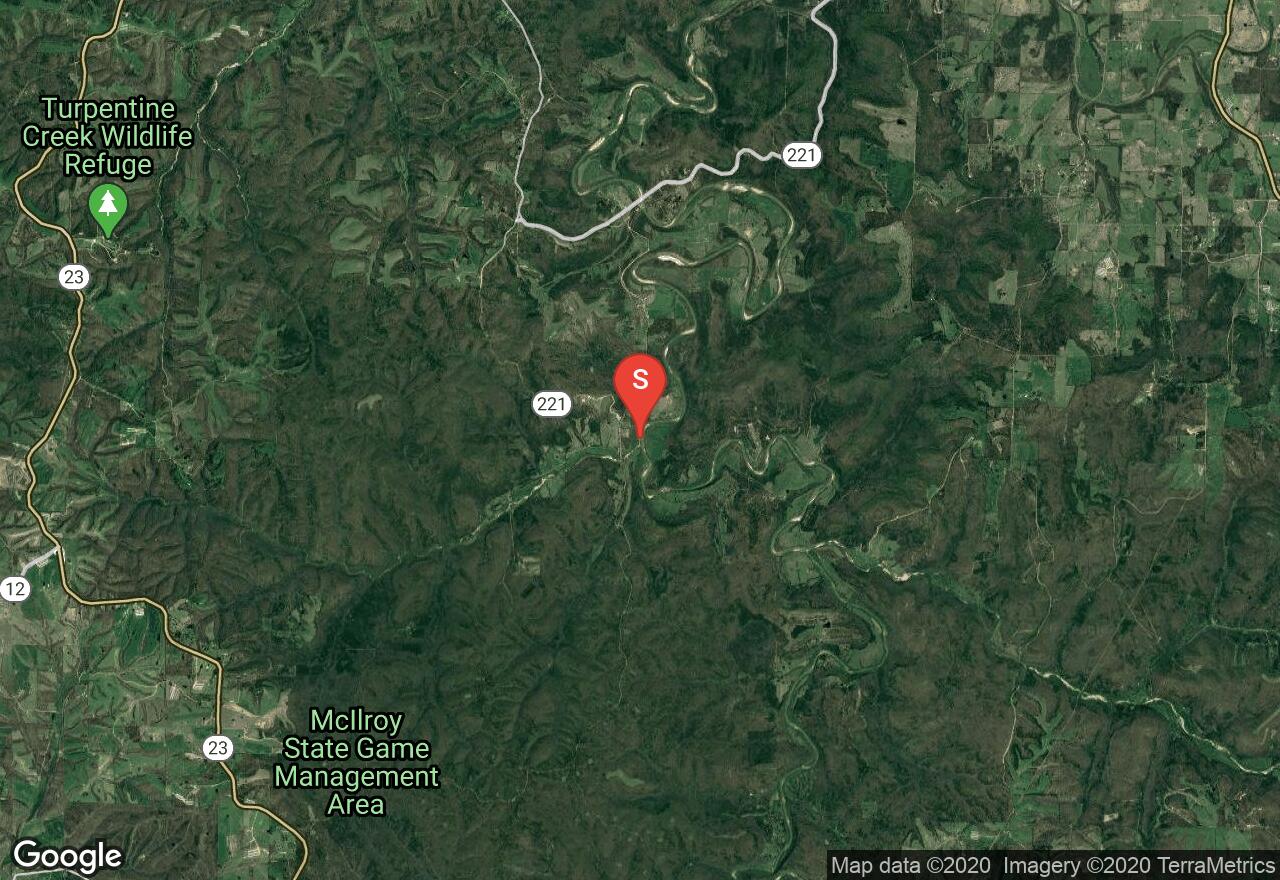
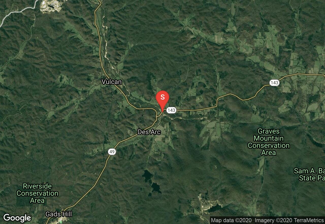
Arkansas, Madison County
03 :27 hrs
7.8 mi
16.181824 ft
I
The King’s River begins in the Boston Mountains and wanders through farmlands and woodlands of northern Arkansas. The riverbanks exist in a natural state lined with hardwood and evergreen thickets. This section is known for having particularly good scenery, similar to what is found on the Buffalo River but without the crowds. The take-out for this reach of the river is on private land and a fee is required for access; shuttle services are also available.
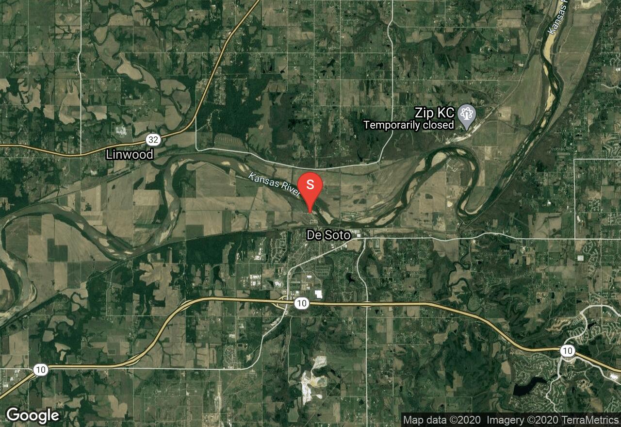
Kansas, Johnson County
07 :03 hrs
16.7 mi
12.744141 ft
I
The Kansas River, also known as the Kaw River, flows past the majestic Flint Hills, across wide plains, and into the limestone hills of eastern Kansas. The entire river is rated as Class I difficulty. It is a shallow, sandy-bottomed river with many big sandbars and islands, wild beauty, and gentle nature. Wildlife is plentiful and many native bird species can be spotted on the river banks. This trip from DeSoto to Wilder Road will take you through almost every kind of habitat you will find on the Kansas River in a span of only a few miles. Already confined between hills, the channel grows narrower and the river makes a final charge over a limestone riverbed then into a long, steep-sided pool. There are intermediate access points along the way to shorten it up.
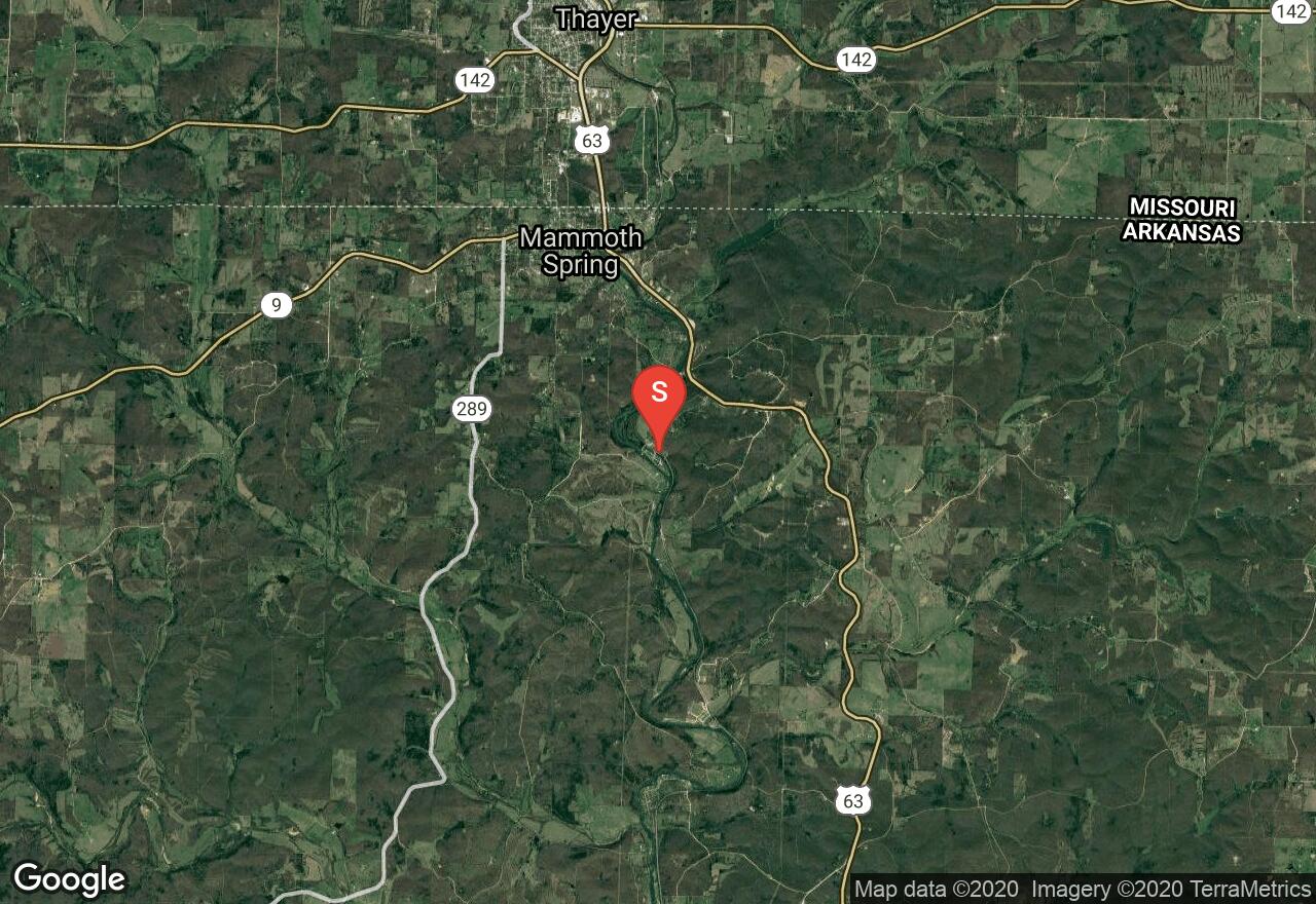
Arkansas, Fulton County
03 :18 hrs
7.9 mi
21.532417 ft
II
This popular stretch of the Spring River offers year round access to class II whitewater with great scenery. There are several exciting drops the highest of which is about five feet. The take-out is at Many Islands Camp were facilities and campsites are available.
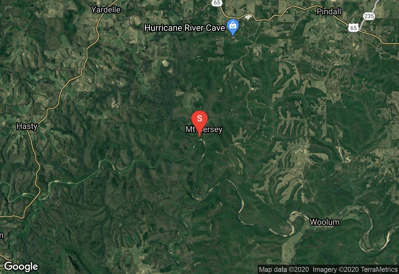
Arkansas, Newton County
04 :10 hrs
9.4 mi
19.485092 ft
I
This paddle offers some mild quickwater and flatwater on the Buffalo National River; some of the best paddling in middle America. A great stop-off is located about eight miles from the put-in where trails surrounding an interesting rock formation provide the opportunity for exploration. The scenery is excellent, dense hardwood forest blanketing hill country and scenic bluffs. Be on the lookout for willow thickets that can trap boat.
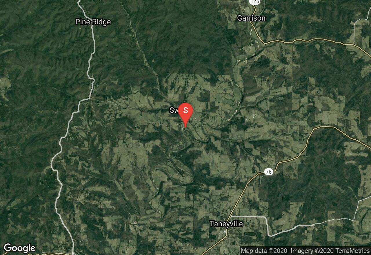
Missouri, Taney County
06 :04 hrs
14.6 mi
43.87918 ft
II
This creek is a favorite among Missouri whitewater paddlers. The river is much more mild in the summer. The best time to run the river is the day after heavy rain. As the water rises, the waves becoming larger instead of smoothing out.In high water, the rapids can becoming Class III. Fly fishing is good here.
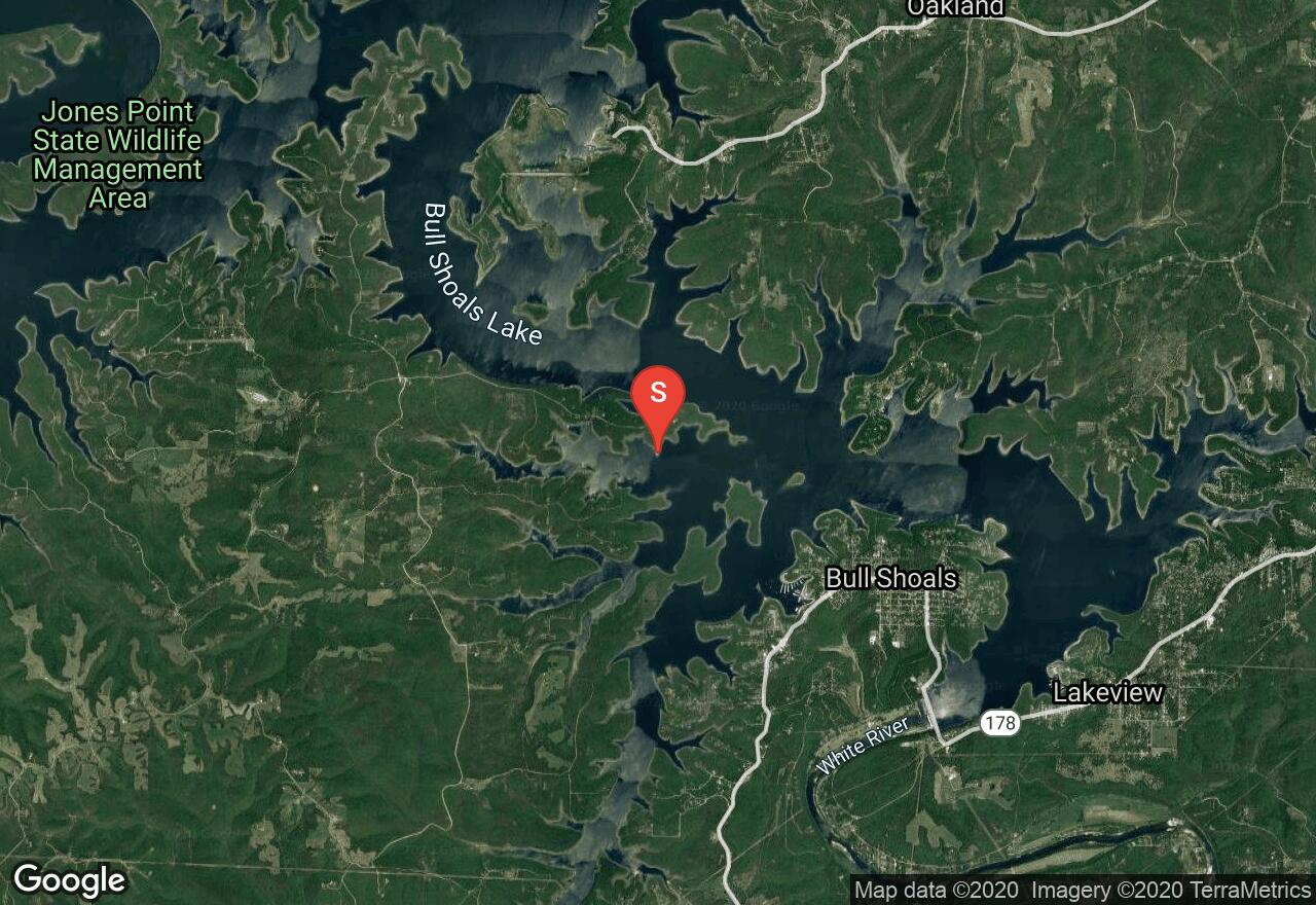
Arkansas, Marion County
05 :00 hrs
11.1 mi
2.5635986 ft
I
Bull Shoals Lake is a large reservoir on the White River in northern Arkansas. The lake is surrounded by heavily wooded hill country existing largely in a natural state but some development is present. Bull Shoals is known for having some of the best fishing in the region. This area of the lake is accessed from Frost Point and offers miles of winding shoreline and isolated coves and a small island to explore.
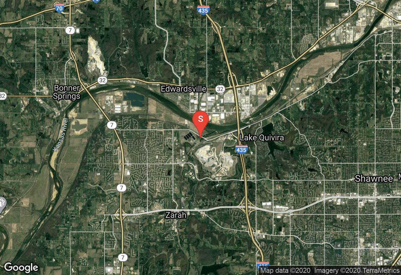
Kansas, Shawnee
06 :51 hrs
16.1 mi
11.830139 ft
I
The Kansas River, also known as the Kaw River, flows past the majestic Flint Hills, across wide plains, and into the limestone hills of eastern Kansas. The entire river is rated as Class I difficulty. It is a shallow, sandy-bottomed river with many big sandbars and islands, wild beauty, and gentle nature. Wildlife is plentiful and many native bird species can be spotted on the river banks. The segment is the last leg of the river’s journey through Kansas. The scenery is very beautiful and peaceful.
See more adventures..
Explore complete list
Explore nearby adventures

