Best Rafting in Kentucky
Trying to find the best rafting in Kentucky? Bivy has great hiking, biking, paddling, climbing, skiing, riding and more, with hand-curated trail maps, as well as detailed driving directions.
Ohio, Gallia County
06 :04 hrs
12.1 mi
7.149109 ft
I
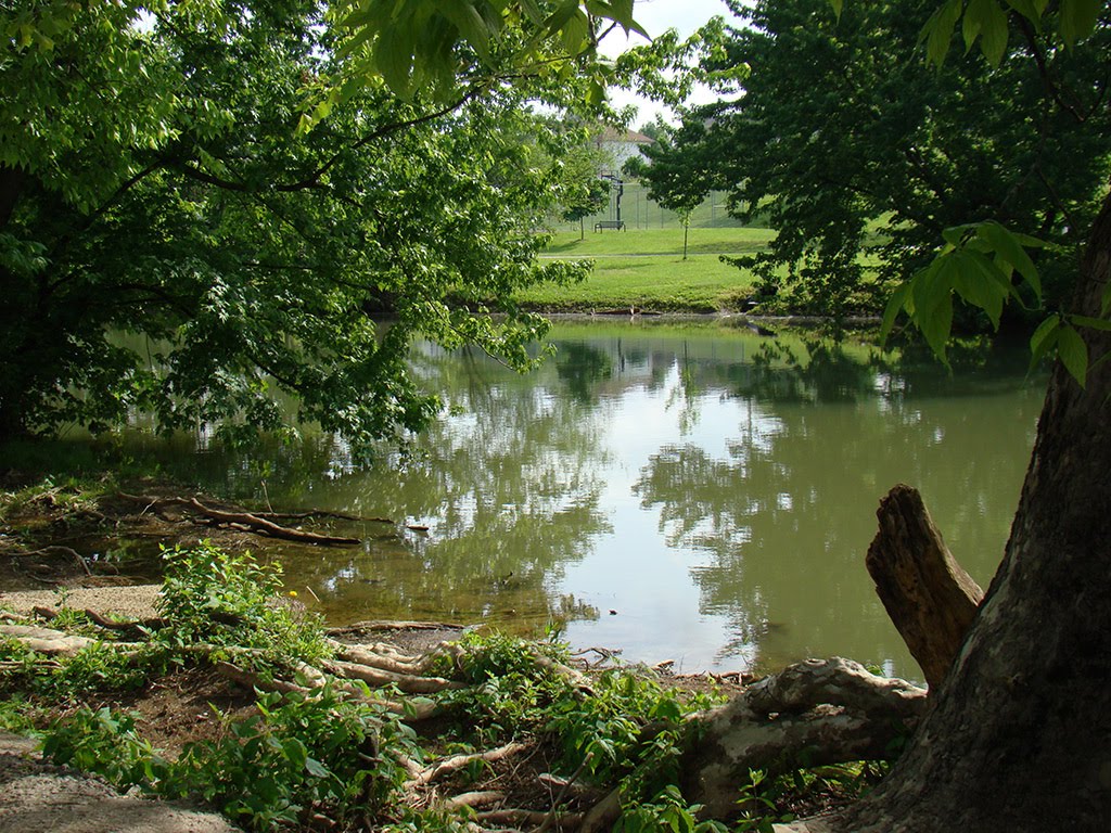
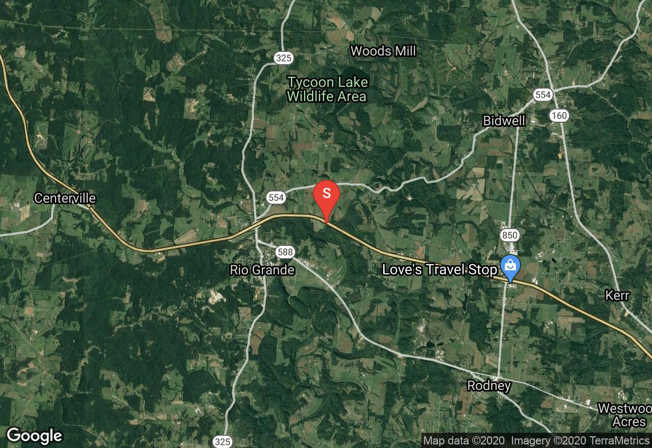
Raccoon Creek is 114 miles long and flows through southeastern Ohio. There are many historic attractions like former mills and the trapping grounds of Daniel Boone. Beginning at Bob Evans Farm Canoe Livery off US 35 this section flows 12 miles to Raccoon Creek Park. The biggest challenge is navigating around deadfall from beavers that have created dams.
Ohio, Adams County
05 :58 hrs
14.2 mi
27.43277 ft
I
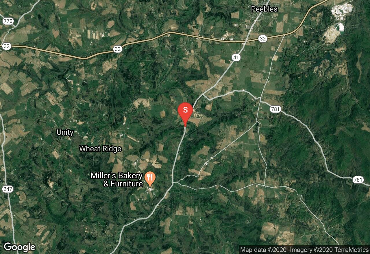
Ohio Brush Creek offers some of the most scenic and untouched terrain in Ohio. The banks are lined by evergreens, shale and limestone cliffs. The water moves slowly through pools of limestone ledges. Access is limited and fishing for smallmouth bass is good. Beginning at OH 41 bridge south of Jacksonville this section of river flows to OH 125 bridge.
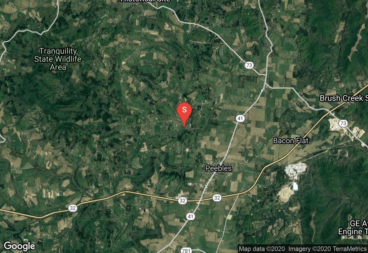
Ohio, Highland County
02 :58 hrs
7.1 mi
13.56723 ft
I
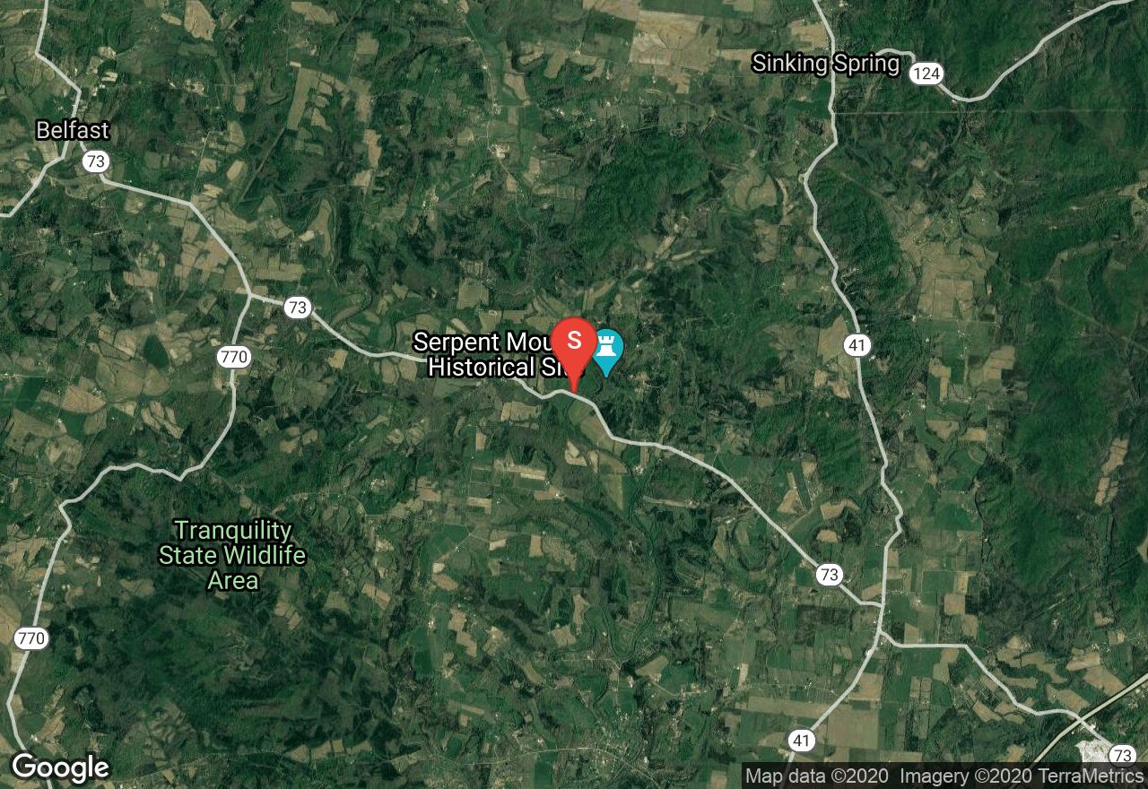
Ohio Brush Creek offers some of the most scenic and untouched terrain in Ohio. The banks are lined by evergreens, shale and limestone cliffs. The water moves slowly through pools of limestone ledges. Access is limited and fishing for smallmouth bass is good. Beginning at the OH 73 bridge this section flows to OH 32 bridge.
Ohio, Adams County
04 :03 hrs
9.6 mi
20.429123 ft
I
Ohio Brush Creek offers some of the most scenic and untouched terrain in Ohio. The banks are lined by evergreens, shale and limestone cliffs. The water moves slowly through pools of limestone ledges. Access is limited and fishing for smallmouth bass is good. Beginning at OH 32 bridge this section flows 10 miles to OH 41 bridge south of Jacksonville.
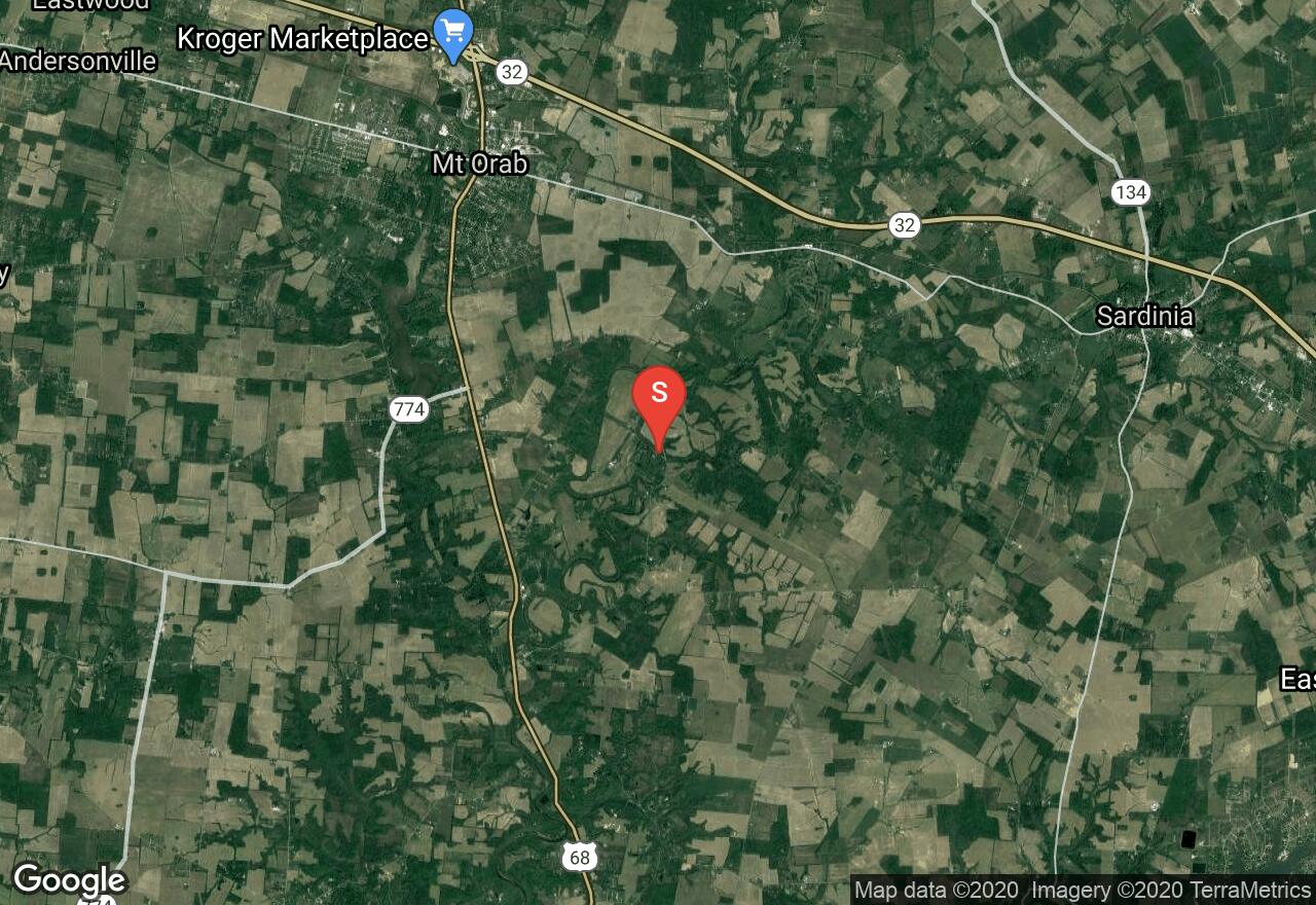
Ohio, Adams County
04 :11 hrs
9.9 mi
12.564606 ft
I
Ohio Brush Creek offers some of the most scenic and untouched terrain in Ohio. The banks are lined by evergreens, shale and limestone cliffs. The water moves slowly through pools of limestone ledges. Access is limited and fishing for smallmouth bass is good. Beginning at OH 125 bridge this lower section of river flows to the confluence of the Ohio River. Takeout is at Ohio Brush Creek boat ramp off US 52. Power boats are allowed and common on this lower section of river.
Ohio, Brown County
05 :20 hrs
12.8 mi
32.22702 ft
IV
White Oak Creek is a scenic whitewater creek that is small but packs a lot of adventure. This creek is not spring fed but after rainfall can fluctuate a lot. The difficulty and conditions change so much with water levels so be sure to check conditions and levels before beginning. Putting in at New Hope Road this section of river flows slowly over a soft bottom and forks around sandbars and islands. The difficulty level of this run can be a class II to a IV. At 1000-1200 cfs it would be a typical class II. 2500-8000 cfs is class IV and the level for skilled play. But at this level the creek is difficult and debris can be dangerous and swimming is not recommended. Takeout is at White Oak Valley Rd.

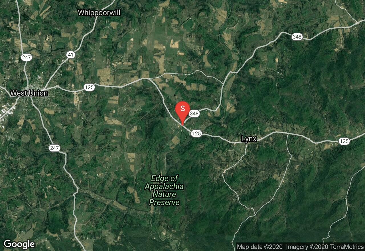
Ohio, Brown County
02 :47 hrs
6.8 mi
34.74968 ft
IV
White Oak Creek is a scenic whitewater creek that is small but packs a lot of adventure. This creek is not spring fed but after rainfall can fluctuate a lot. The difficulty and conditions change so much with water levels so be sure to check conditions and levels before beginning. Putting in at White Oak Valley Road this section of river flows to the Georgetown water treatment plan off S.R. 221. Large chunks of concrete and rebar can be hazardous. The difficulty level of this run can be a class II to a IV. At 1000-1200 cfs it would be a typical class II. 2500-8000 cfs is class IV and the level for skilled play. But at this level the creek is difficult and debris can be dangerous and swimming is not recommended. Portage the dam on river left if you aren't going to run it.
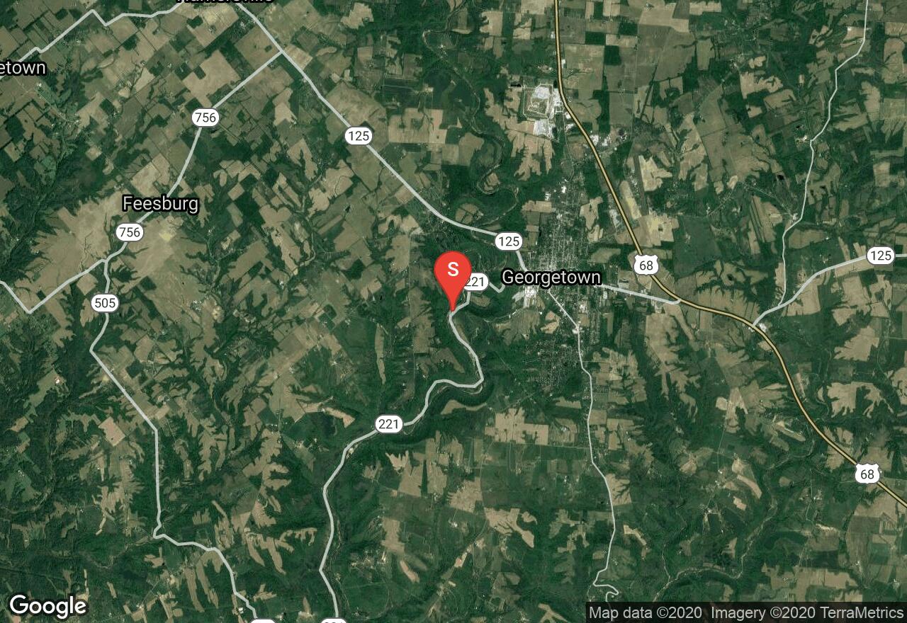
Ohio, Brown County
02 :47 hrs
6.8 mi
34.74968 ft
II
White Oak Creek is a scenic whitewater creek that is small but packs a lot of adventure. This creek is not spring fed but after rainfall can fluctuate a lot. The difficulty and conditions change so much with water levels so be sure to check conditions and levels before beginning. Beginning at the water treatment plant by the dam OH 221 west of Georgetown this section of river flows to White Oak Creek launch ramp at the mouth of White Oak.
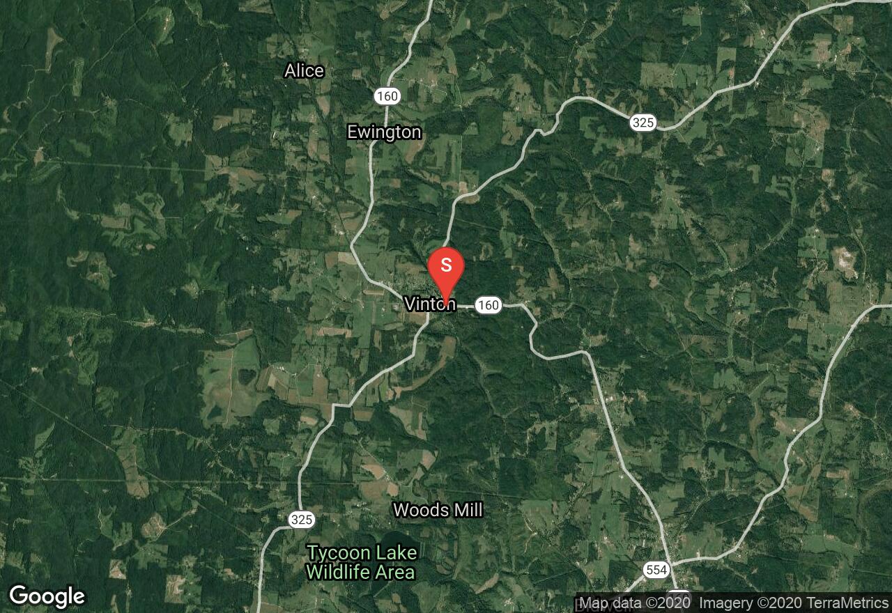
Ohio, Vinton
03 :54 hrs
9.2 mi
7.6385345 ft
I
Raccoon Creek is 114 miles long and flows through southeastern Ohio. There are many historic attractions like former mills and the trapping grounds of Daniel Boone. Beginning in Vinton this section flows to Bob Evan Farm Canoe Livery off US 35. The biggest challenge is the deadfall from the abundance of beavers creating a maze of dams to navigate.
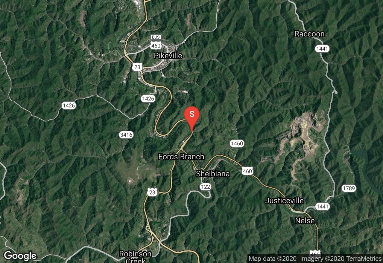
Kentucky, Pikeville
03 :30 hrs
8.3 mi
13.332886 ft
II
Levisa Fork makes up one of the major drainages of eastern Kentucky. It comes together with the Tug Fork to form the Big Sandy River. Even though you travel through a heavy presence of civilization, most of it is hidden by the deep, tree-lined banks. The river is runnable almost year-round below the dam at Fishtrap Lake. You will have nice views of hills and bluffs along the journey. You will have to carry down your boat at the put-in but there is a ramp at the take-out point.
See more adventures..
Explore complete list
Explore nearby adventures

