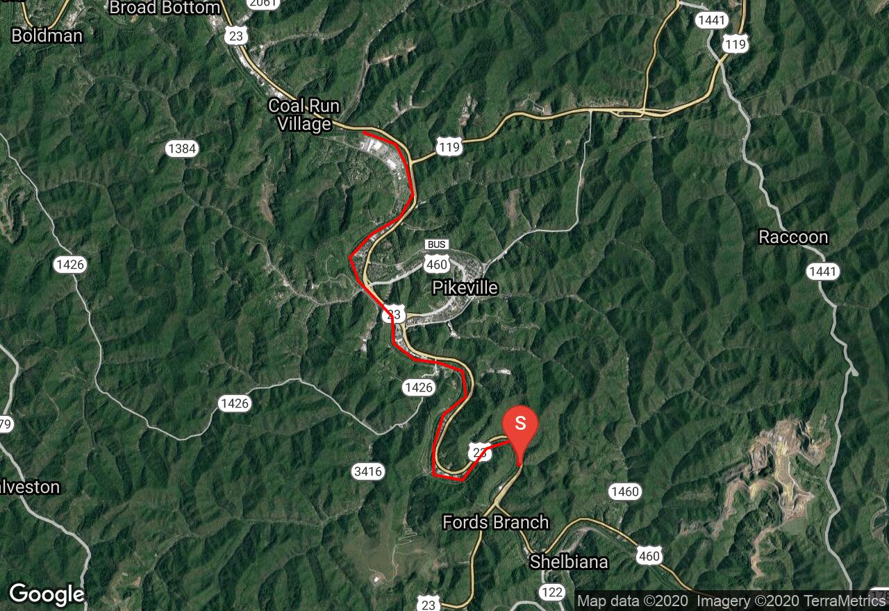
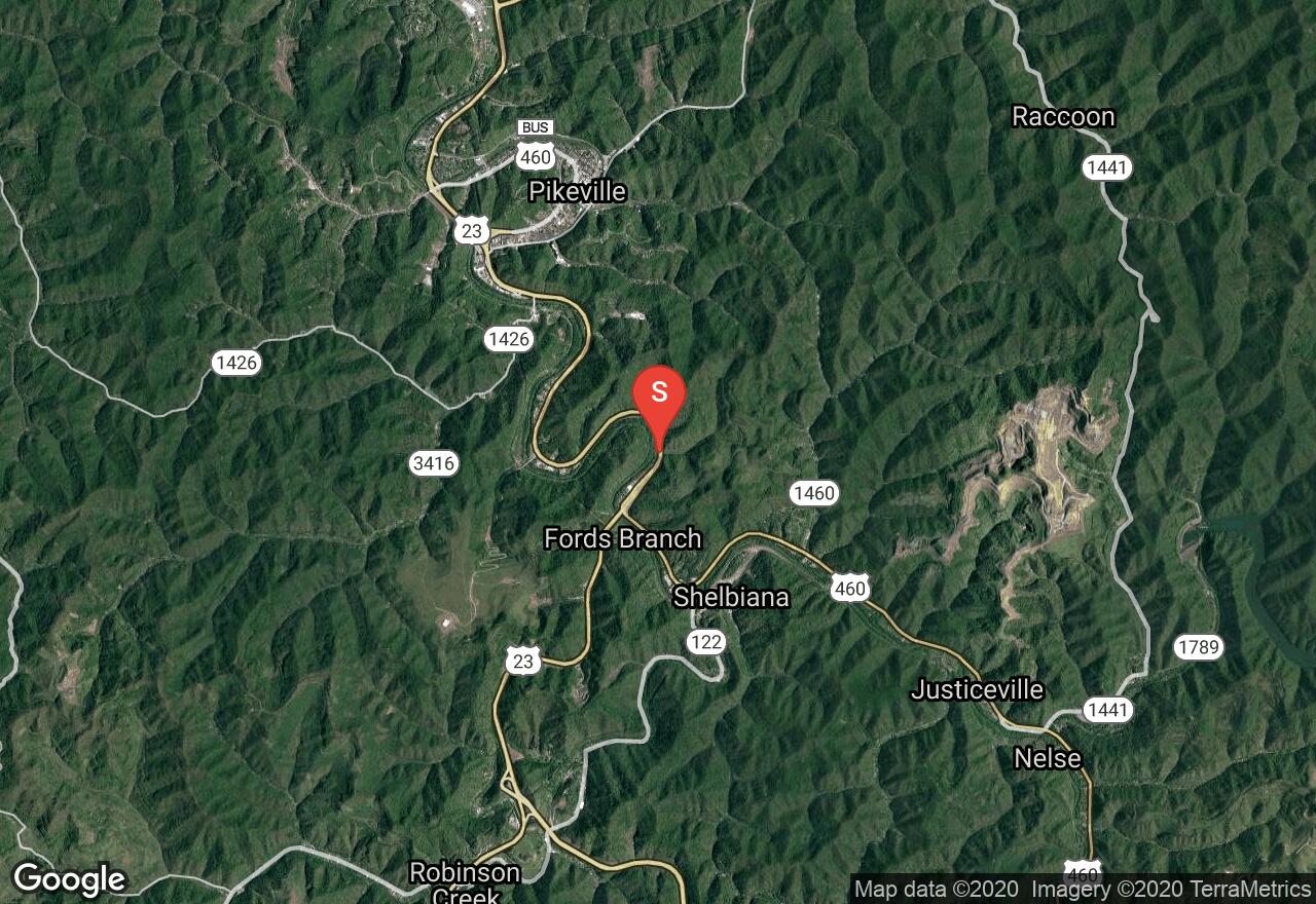
Levisa Fork
Pikeville, Kentucky
Uploaded by Bivy Team
VIEW MAP
03 :30 hrs
8.3 mi
44 ft
II
Rafting
Kayaking
Canoeing
Levisa Fork makes up one of the major drainages of eastern Kentucky. It comes together with the Tug Fork to form the Big Sandy River. Even though you travel through a heavy presence of civilization, most of it is hidden by the deep, tree-lined banks. The river is runnable almost year-round below the dam at Fishtrap Lake. You will have nice views of hills and bluffs along the journey. You will have to carry down your boat at the put-in but there is a ramp at the take-out point.
2 photos
Get the app

