Best Cross Country Skiing in Missouri
Trying to find the best cross country skiing in Missouri? Bivy has great hiking, biking, paddling, climbing, skiing, riding and more, with hand-curated trail maps, as well as detailed driving directions.
Illinois, Jersey County
02 :19 hrs
5.8 mi
105.66618 ft
Hard
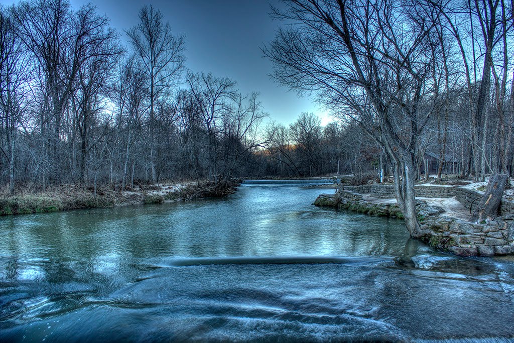
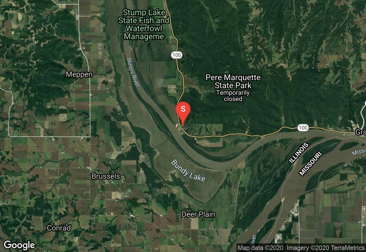
Located at the confluence of the Illinois and Mississippi rivers, this large state park offers miles of trails that explore the scenic and diverse landscape of rolling hills, wooded ravines, and high bluffs with excellent views of the river below. The state park is known for its beautiful colors during the fall and bald eagle viewings during the winter. This hike is done by utilizing multiple connecting trails within the park to complete a long loop. The trails can be broken up and hiked individually for shorter distances giving hikers of all skill levels plenty of opportunity to enjoy the area.
Illinois, Madison County
00 :58 hrs
4.9 mi
21.953018 ft
Easy
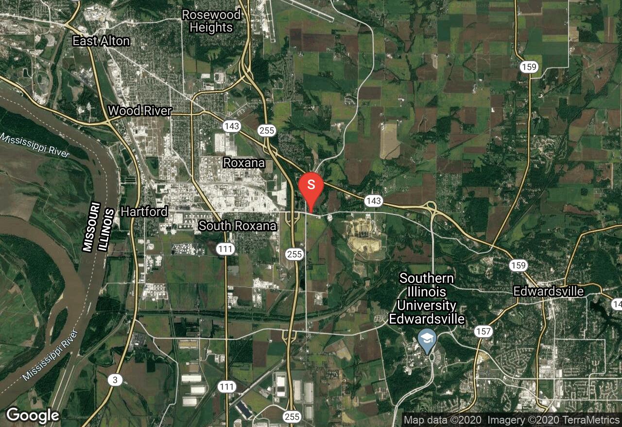
This trail follows an old railroad corridor between the towns of Roxana and Edwardsville and is named after the Watershed Nature Center which it travels near along its eastern section. The trail passes through mostly shaded wooded terrain that is quiet and peaceful. The trail has just a little bit of elevation change but nothing that is too physically strenuous and is all paved making it a great option for riders of all skill levels. The trail also connects to the Goshen Trail (which also connects to multiple other trails in the area) and the hiking loop trail located at the Watershed Nature Center which is also a scenic and interesting place to visit.
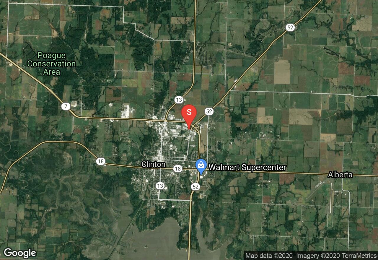
Missouri, Henry County
23 :45 hrs
239 mi
154.01756 ft
Moderate
The Katy Trail is a 239 mile trail stretching across most of Missouri. It is America's longest "rails-to-trail" project, formerly the MKT rail line. Over half of it follows the Lewis and Clark's path up the Missouri River. If you are planning to do the entire trail, you will want to drop off a vehicle at the end destination, making this a one-way adventure. The trail follows large river bluffs that then lead through quiet farmland. Many cross-country cyclists include the Katy Trail in their tours. The recommended tire width for the trail is 25mm or wider. Running is very popular on the for long distance runs, because of its nice and flat surroundings. Also, the crushed limestone trail surface is easy on your legs. There are long distances without access to water, so runners and hikers should carry water and plan ahead. There are expeditions along parts of the trail where the towns offer water, groceries, or vending machines that are not too far apart.
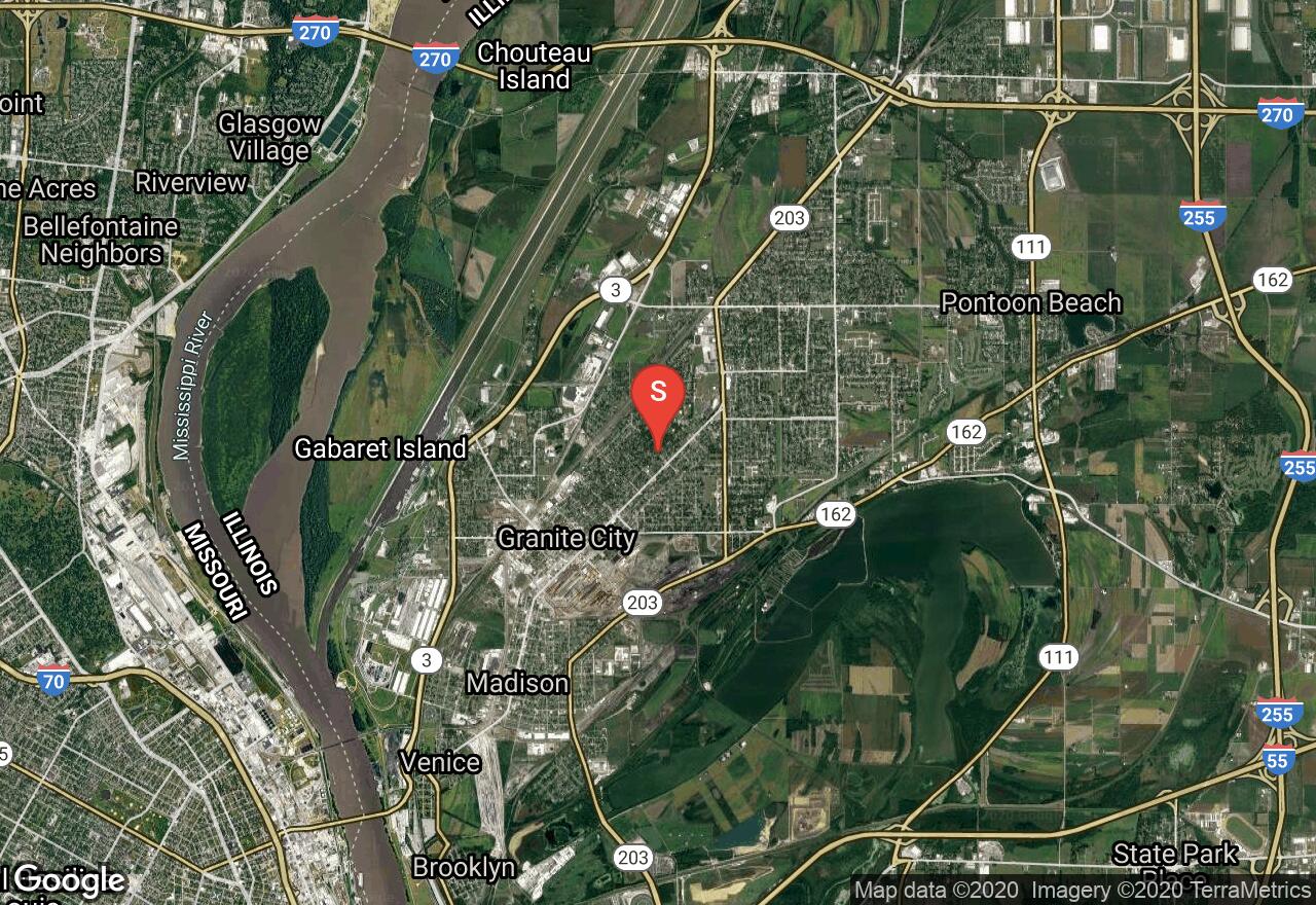
Illinois, Granite City
02 :36 hrs
13.1 mi
48.08142 ft
Hard
The MCT Nature Trail stretches between the cities of Granite City and Edwardsville leading through wooded terrain past diverse scenery including Horseshoe Lake and a college campus. The trail is one of the many MCT trails in the area and is popular with both students and recreational users. The trail is very scenic and also provides lots of opportunity for viewing wildlife and plantlife. The trail is all asphalt and is fairly flat making it a nice trail to ride for cyclists of all skill levels. The trail connects to many of the other trails within the MCT system making it easy for customizing a ride that explores even more of Madison County.
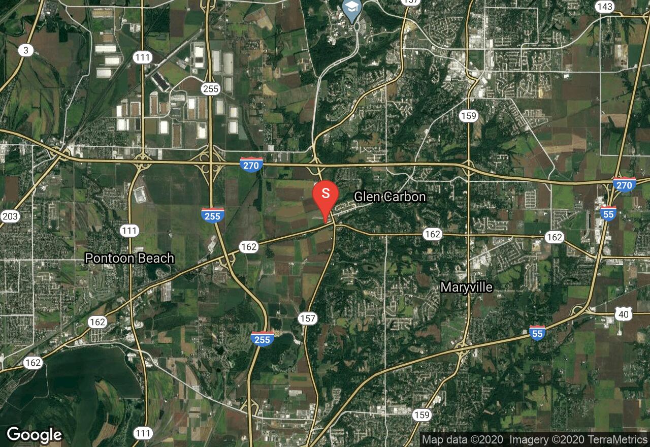
Illinois, Madison County
03 :47 hrs
19.1 mi
36.07457 ft
Hard
The Nickel Plate Trail follows a greenway corridor for many miles connecting multiple small towns and villages in and around the Edwardsville area and providing lots of diverse scenery and terrain along the way. The trail passes through some industrial areas but mostly travels through wooded terrain and rural areas with farmland, parks, golf courses, and some small lakes and ponds. The trail connects to multiple other trails in the MCT system providing riders with numerous trip options and opportunity for exploring Madison County. The surface is all asphalt and crushed stone and is mostly level making it an enjoyable ride for cyclists of all skill levels.
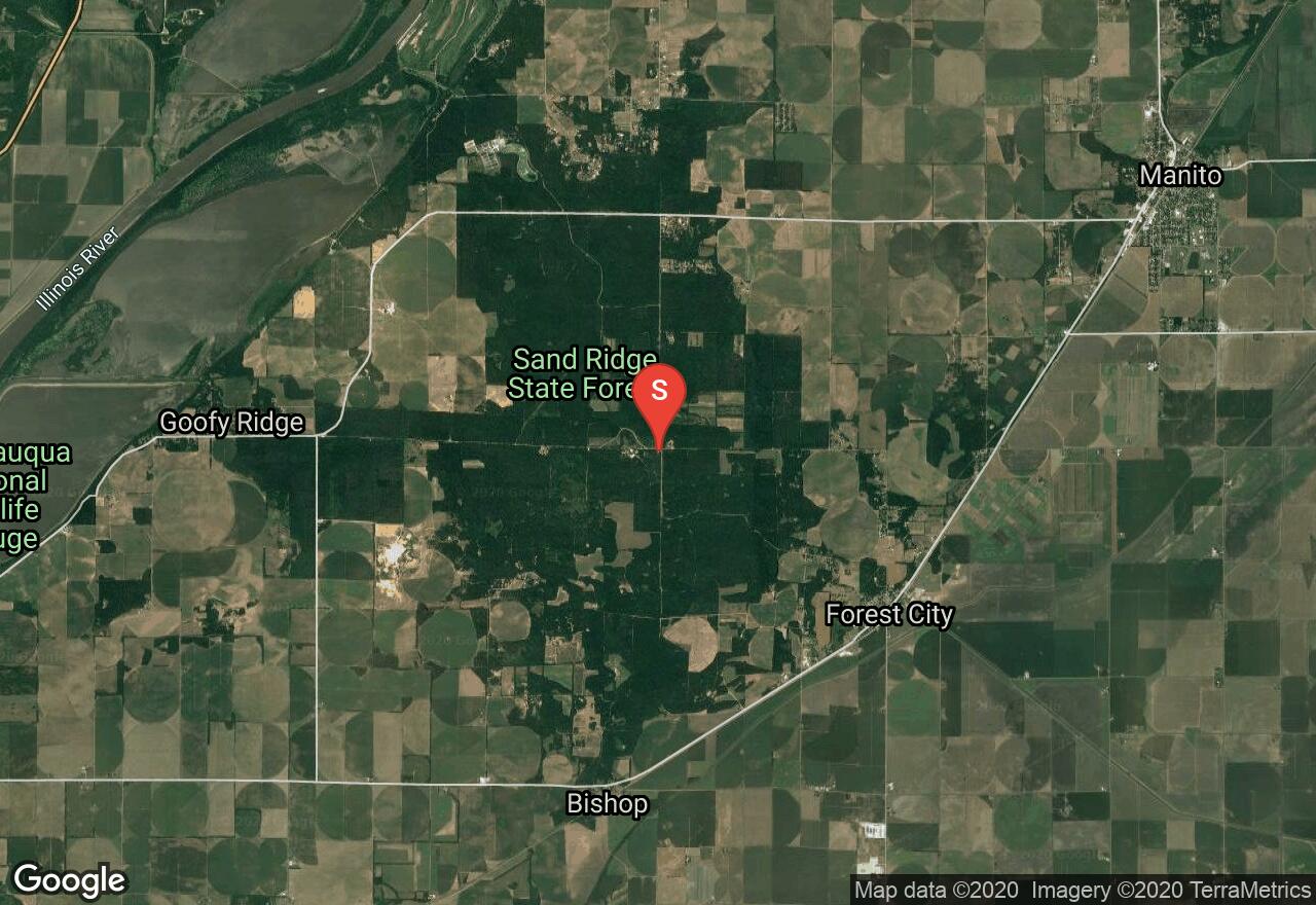
Illinois, Mason County
01 :36 hrs
4.7 mi
6.7105103 ft
Moderate
Sand Ridge State Park is located in the largest state forest in all of illinois and boasts a variety of terrain including dense forests, open grasslands, and unique dirt prairies. Due to the diverse and dry desert-like terrain of some of the state park, the wildlife and plantlife is very diverse with lots of variety. Birdwatching is especially popular in the area. This hike utilizes multiple trails and a dirt road within the park to complete a loop through the southern portion of the state park. There are numerous connecting trails that provide hikers with abundant hiking possibilities. The state park offers picnic areas and campgrounds.
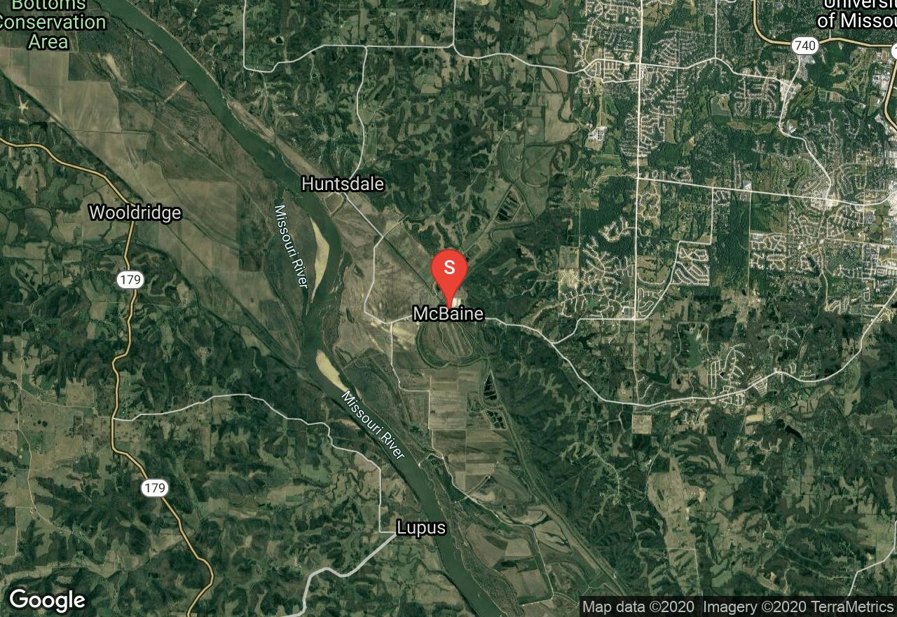
Missouri, Boone County
00 :60 hrs
5 mi
15.550354 ft
Hard
This adventure is only a small part of the 239 miles of Katy Trail. It is America's longest "rails-to-trail" project, formerly the MKT rail line. The trail is flat and scenic. On this trail you will be able to view the Missouri's state champion bur oak, the Big Moniteau Bluffs and find your turn around point once you reach Lewis and Clark Cave. Trail users are not allowed in the cave but you can stand at the entrance and feel the cave air and enjoy the surroundings. The recommended tire width for the trail is 25mm or wider. There are long distances without access to water, so runners and hikers should carry water and plan ahead.
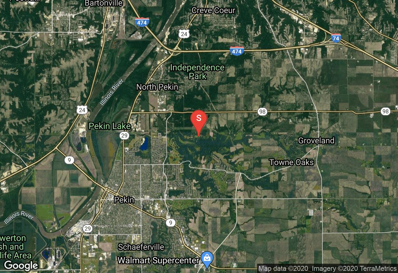
Illinois, Tazewell County
00 :45 hrs
3 mi
35.25351 ft
Moderate
Located on the north side of the town of Perkin, the McNaughton Park trail system offers excellent trails for mountain biking and hiking in a peaceful and natural setting. There are multiple trail segments and loops that can be combined to customize the perfect ride so checking out a trail map of the area may be useful before setting out. This route follows multiple trails within the system to complete a fun and scenic figure-eight through the wooded terrain. The ride follows all dirt and grass trails with some nice climbs and descents along the way that will provide a little challenge. There are also a few manmade obstacles within the park to add additional technical challenge.
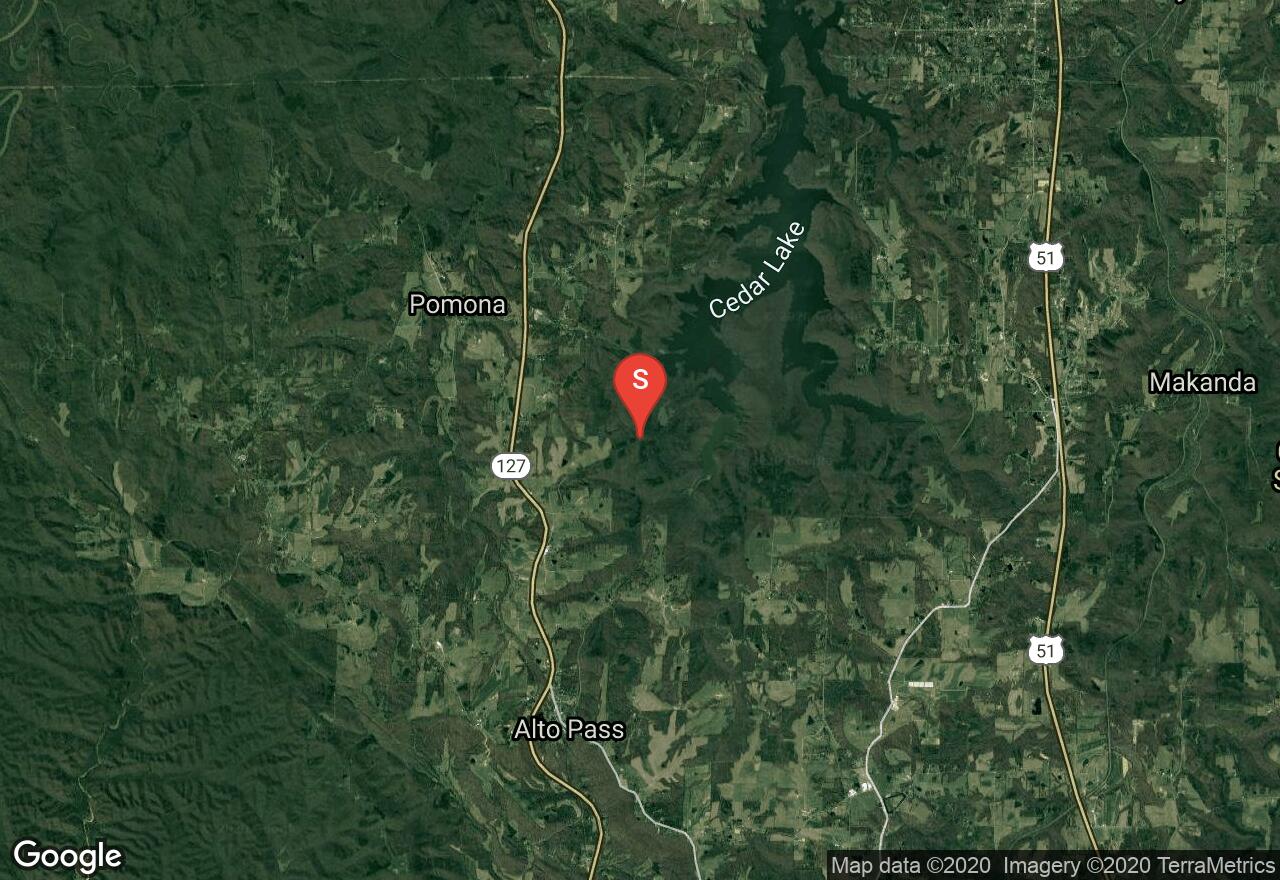
Illinois, Jackson County
01 :50 hrs
4.9 mi
70.68309 ft
Moderate
This trail is located south of Cedar Lake and leads through dense and lush woodlands along the shores of a small cove of the lake. The trail passes over a spillway that is scenic but can be slippery so be cautious. There is lots of interesting wildlife and plantlife along the route that also includes poisonous snakes and poisonous plants so wear pants and watch where you walk. The road to the trailhead can be rough and is only passable by high-clearance vehicles so walking the rough dirt road to the trailhead may by required.
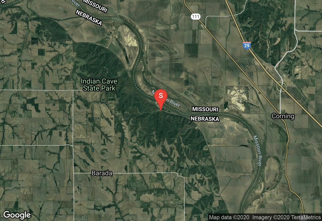
Missouri, Atchison County
01 :41 hrs
4.2 mi
106.92703 ft
Hard
The Indian Cave Trail takes users to a cave exhibiting 1500 year old petroglyphs. Located in a mountainous area of Nebraska, this reverse lollipop trek made up of grass and dirt provides challenges like steep climbs, muddy terrain, and tricky descents (route back to trailhead is more challenging). Permits are required for entry, along with a day fee - contact Indian Cave State Park for more information. There is a shuttle option if one has two vehicles, or, after reaching the cave, one can simply travel back to the trailhead on a park road instead of reversing back on the trail.
See more adventures..
Explore complete list
Explore nearby adventures

