Polyfills.0a64bc0ab28cc026ece0.js in Colorado
Trying to find the best in Colorado? Bivy has great hiking, biking, paddling, climbing, skiing, riding and more, with hand-curated trail maps, as well as detailed driving directions.
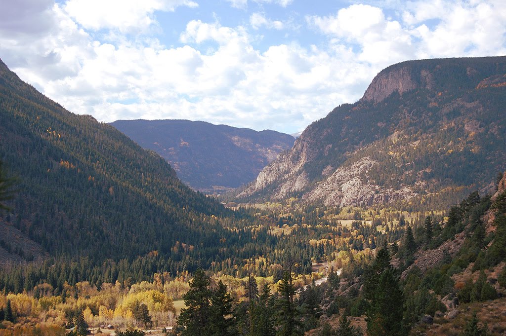
Colorado, Clear Creek County
15 :02 hrs
8.1 mi
900.16455 ft
Expert
Standing at 14,270 feet, Grays Peak is the highest peak along the Colorado Front Range. Just shy of the elevation of Grays Peak is its neighbor Torrey Peak. With their close proximity to Denver, this is a popular hike during summer months. The peaks are usually done with one ascent; Grays is summited first then Torrey. The trail begins by ascending up through the grass covered Stephens Gulch. The final stretch to Grays Peak makes several switchbacks up a talus slope. From Grays Peak, the trail traverse along the ridge to Torrey Peak before returning back to the northeast slope of Grays Peak.
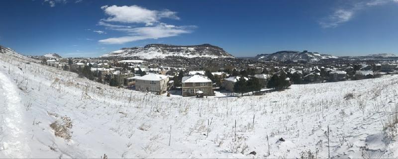
Colorado, Golden
00 :45 hrs
2 mi
16.730835 ft
Easy
This popular trail follows Clear Creek through Golden, CO with many water access locations. You can see the Coors factory on one end and Lookout Mtn with the School of Mines "M" on the other. The views are beautiful along Clear Creek with fall foliage and during the winter holidays with lights decorating the trees.
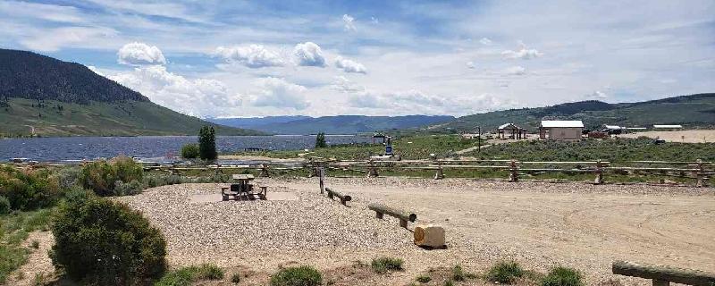
Colorado, Grand County
00 :24 hrs
1 mi
13.1779785 ft
Easy
Fairly small campsites, some shade shelters, some none, all have picnic tables, fire rings and power. Not any trees for cover, and it gets really windy. All the hosts have been very nice, they offer $7 wood bundles and $4 bags of ice. $20 a night plus $5 a day per vehicle. Vault toilet bathrooms with running sinks- no soap at sink though.

Colorado, Delta County
04 :30 hrs
3.9 mi
239.2334 ft
Easy
Gradually climb through a beautiful open meadow into the forest and end up above the lakes with amazing views of the surrounding rocky mountain peaks. Follow the trail along the top of the ridge for a great hike in Grand Mesa National Park.
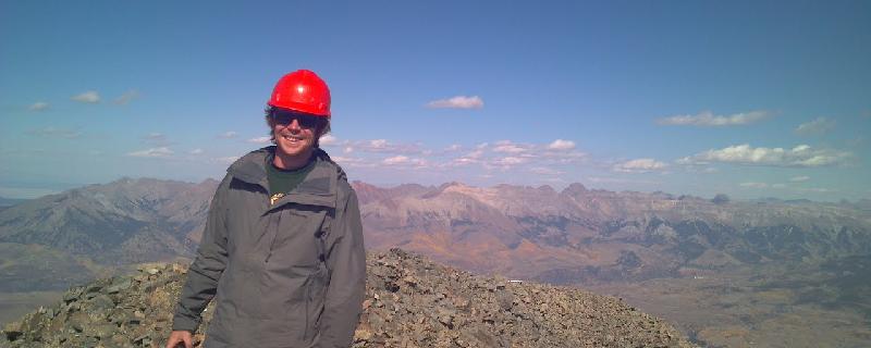
Colorado, Dolores County
19 :40 hrs
8.2 mi
1450.4343 ft
I
This route summits two of Colorado's fourteeners. It begins at the Navajo Lake Trailhead and climbs up to Navajo Lake and Basin. From the basin head up the north face of Mount Wilson. Once you summit Wilson it is a long traverse along the ridge to El Diente. Plan on a few hours to navigate across. The traverse requires some class 4 moves with a 60-foot rappel to bypass some easy but very exposed downclimbing.
Colorado, Jefferson County
01 :36 hrs
3.3 mi
271.89612 ft
Moderate
Nightbird Gulch is accessed via Canyon Point and Trip Ranch neighborhood and climbs up connecting to Mount Galbraith Loop. This trail overlooks the city of Golden with views of North & South Table and the Coors Factory. No biking is allowed and dogs must be kept on a leash.
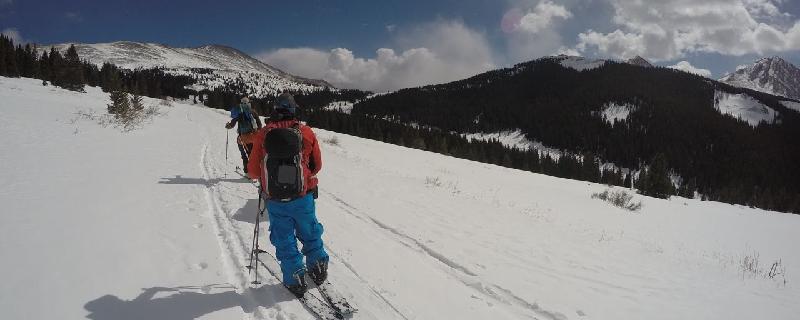
Colorado, Summit County
09 :15 hrs
6.4 mi
342.04443 ft
Easy
Named after the Ancient Greek god of the North Wind, Boreas Pass Rd. can be used to access the Section House in the winter months by snowshoeing and skiing. No motorized vehicles are allowed in the winter. This road is a very consistent low angle climb to the top. Baker's Tank can be seen about halfway up. This was used to quench the thirst of the steam locomotives that traveled the Pass in the late 1800s. There are beautiful view all along the way of Breckenridge and the surrounding peaks of the continental divide. Depending on snow conditions, it may be too flat to snowboard or ski down from the top.
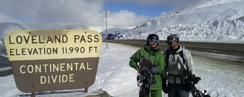
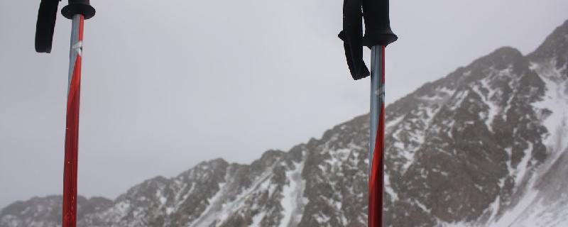
Colorado, Vail
0-1 :54 hrs
0.4 mi
204.3125 ft
S3-
Loveland Pass has been a popular place to ski since the 1930s. There was at one time a rope tow that would carry skiers up. The easy accessible run drops 600 ft. right from the parking down to the sharp turn. Use a shuttle or hitch a ride and do multiple laps. This is a popular run so don't expect to be the only one around.
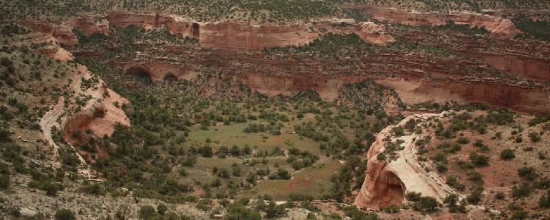
Colorado, Mesa County
03 :53 hrs
6.2 mi
375.08337 ft
Hard
I have questioned whether to add this place. Its remote, not popular, hard to find and an absolute hidden gem- which needs to stay in that condition. We saw 1 person on the trail that day. And only 2 cars parked at the trailhead. Also saw NO TRASH, which was AWESOME! Do not drive all the way to trailhead without 4x4 and a great ground clearance (10" min). It is not recommended in rainy weather either, and can become impassable. Just park and hike the rest like we did- Also there is a summer and winter road, make sure you take the right one for your date of hike. The road has only a few signs, you go through National Park land make a few turns, it's very far down an average gravel road before it gets very rough, so make sure to get directions from many different places, have GPS, a standard map, and know you will probably not get phone service. As for the trail- it's an awesome amazing experience. Do you like Arches NP? This is basically Arches without all the crowds! But be prepared to have no services as well. Our route did require some bouldering/crab crawling, which is only recommended to experienced climbers. The views and area are stunning. If you make it there, please practice leave no trace rules. Be respectful. And keep nature wild.
Colorado, Jefferson County
01 :35 hrs
4.2 mi
278.29773 ft
Hard
This loop begins on the Cedar Gulch Trail and ascends continuously for the first mile. There are sections of rocky ledges and some creek crossings. The trail surface is nice and well maintained. There is a short, sharp descent on rock stairs that must be walked.
See more adventures..
Explore complete list
Explore nearby adventures

