Best Trail Running in Vermont
Trying to find the best trail running in Vermont? Bivy has great hiking, biking, paddling, climbing, skiing, riding and more, with hand-curated trail maps, as well as detailed driving directions.
Vermont, Chittenden County
02 :54 hrs
5.4 mi
14.103136 ft
Moderate
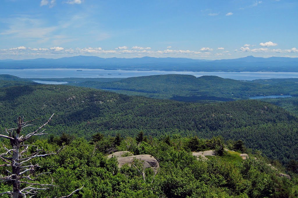
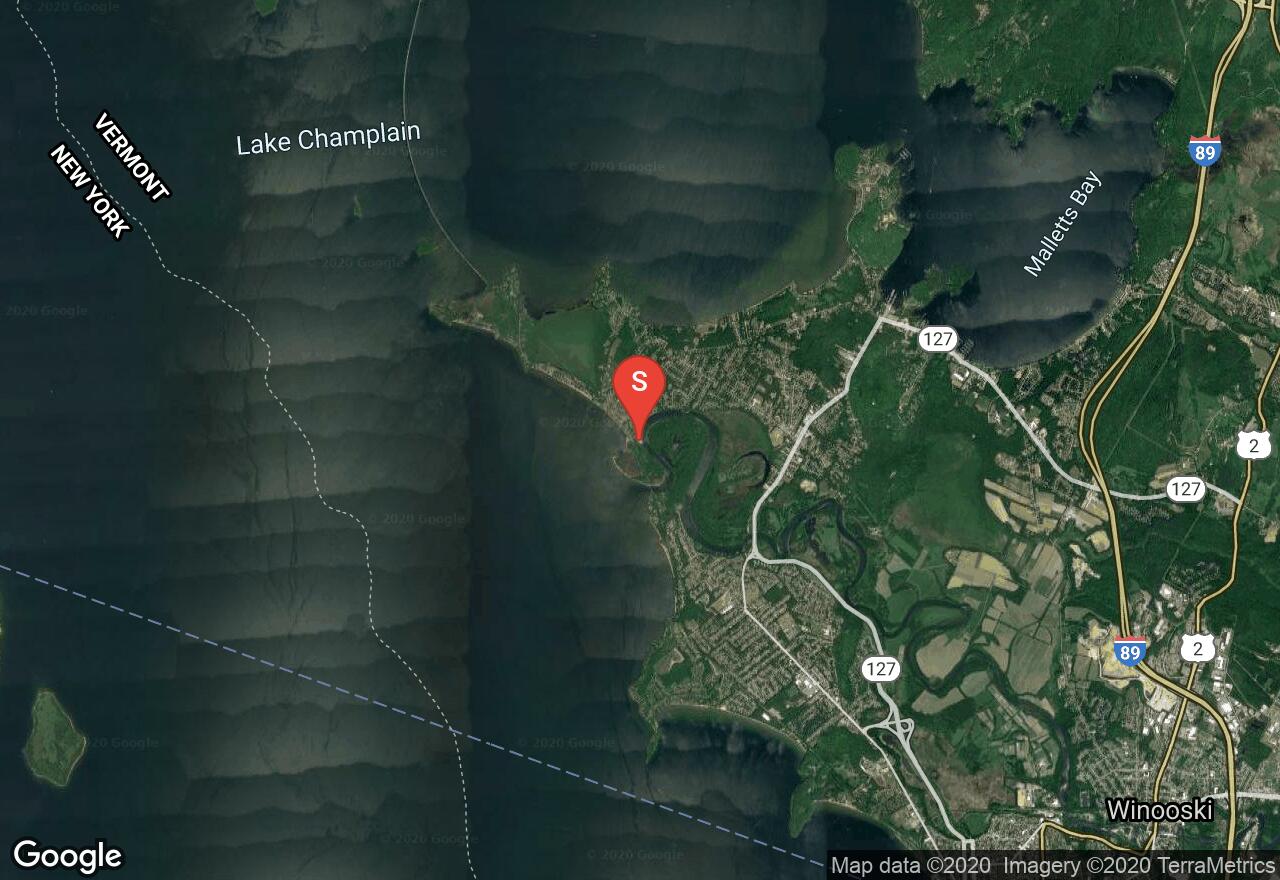
Also known as the Burlington Bikeway, the Island Line rail-trail is very popular and one of the best trails in the area. It is flat and follows along Lake Champlain offering unique scenery and access to parks through the town of Burlington. This section begins at Derway Island and travels south through the town providing access to the lake. The surface is a mix of paved and gravel. You will find several access points and parking.

Vermont, Chittenden County
02 :37 hrs
4.9 mi
6.8281307 ft
Moderate
Also known as the Burlington Bikeway, the Island Line rail-trail is very popular and one of the best trails in the area. It is flat and follows along Lake Champlain offering unique scenery and access to parks through the town of Burlington. This section begins at Derway Island and travels north over a marble causeway along a crushed stone surface that gives you the feeling of riding on the water. There is a seasonal bike ferry that connects with South Hero.
New Hampshire, Belknap County
00 :52 hrs
2.4 mi
48.61151 ft
Easy
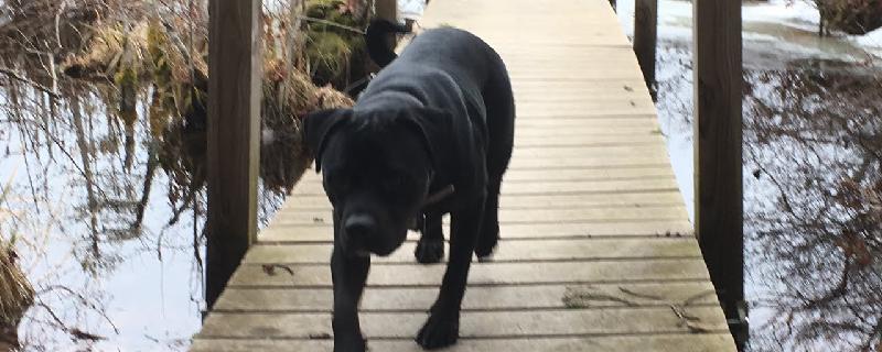
A lovely hike that travels through a beautiful forest setting. It is mostly flat, with groomed paths that are well marked. There is access to the beach, which is a great place to stop for lunch or relaxing. Lots of rocks for the kids to scramble on and ferns everywhere. Dogs are allowed but must be leashed at all times.
New York, Clinton County
00 :44 hrs
2.2 mi
4.0661354 ft
Easy
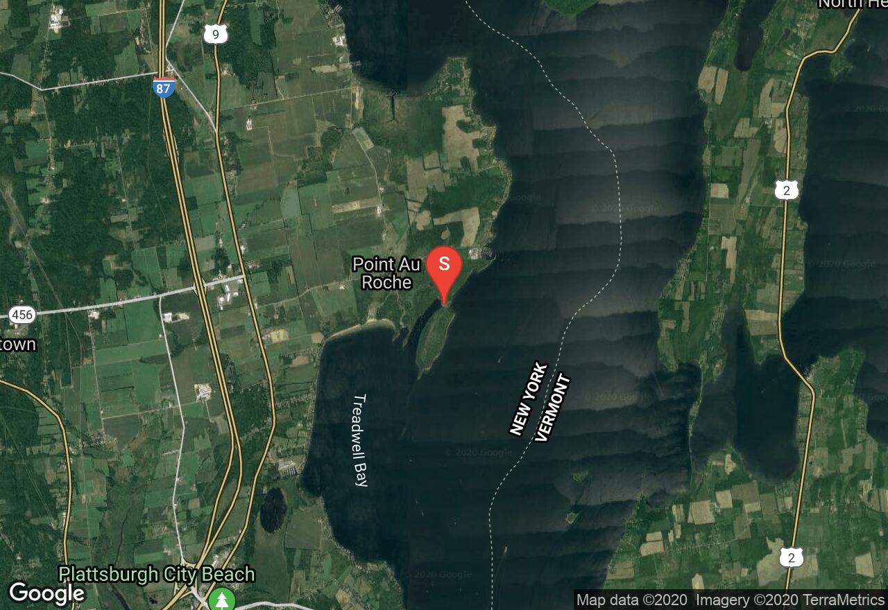
Point Au Rouche State Park is a 850-acre state park located in Clinton County on the northwestern shore of Lake Champlain. The state park offers some excellent hiking opportunity with great views of the water. This hike follows the Long Point trail out to the tip of a long peninsula that juts into the lake. The trail is fairly short but covers some hilly terrain. There are other connecting trails within the park that provide additional hiking opportunity.
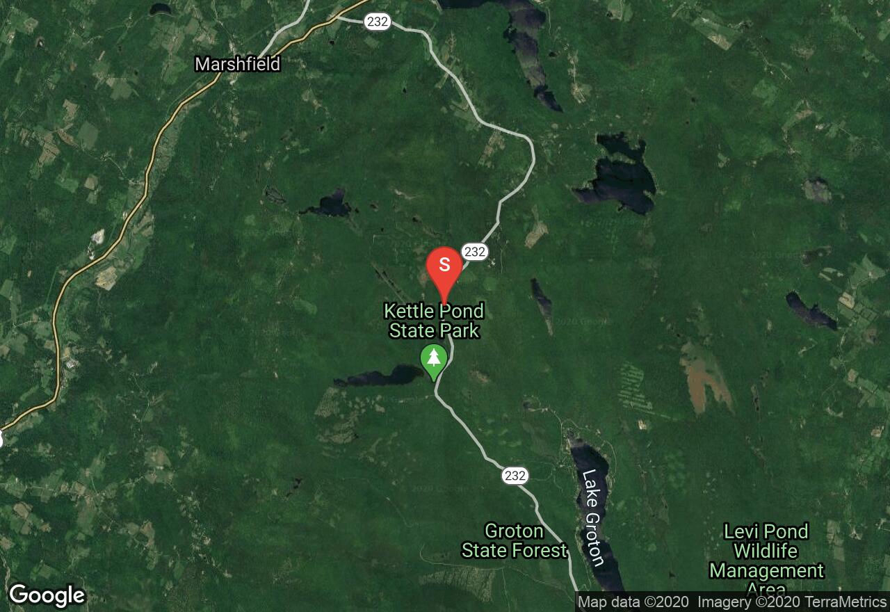
Vermont, Caledonia County
00 :58 hrs
1.1 mi
136.91898 ft
Hard
Easy walk to the top of Owl's head overlooking kettle pond.
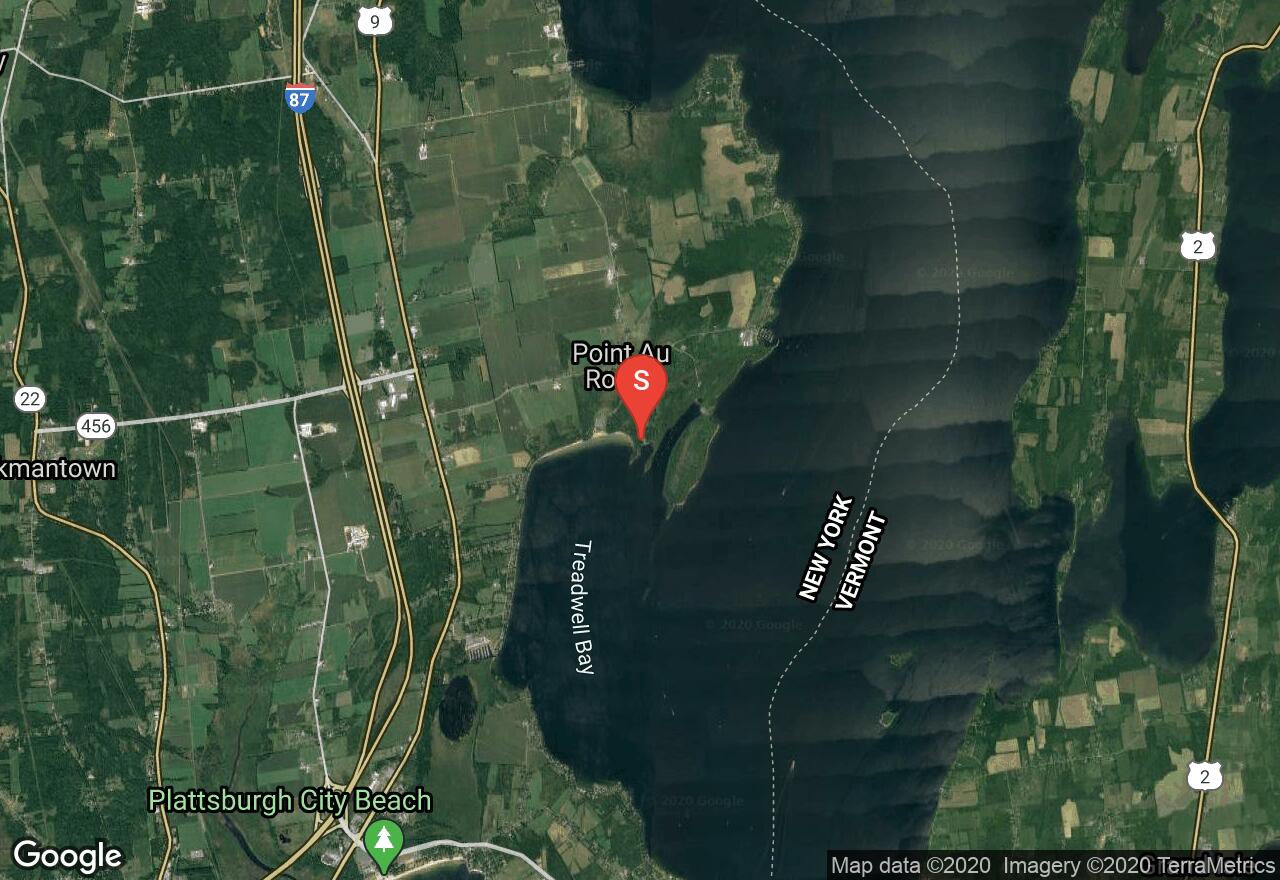
New York, Clinton County
00 :31 hrs
1.5 mi
9.400034 ft
Easy
Point Au Rouche State Park is a 850-acre state park located in Clinton County on the northwestern shore of Lake Champlain. The state park offers some excellent hiking opportunity with great views of the water. This hike follows the Treadwell Bay Trail which travels near the shoreline of the bay. There are other connecting trails within the park that provide additional hiking opportunity.
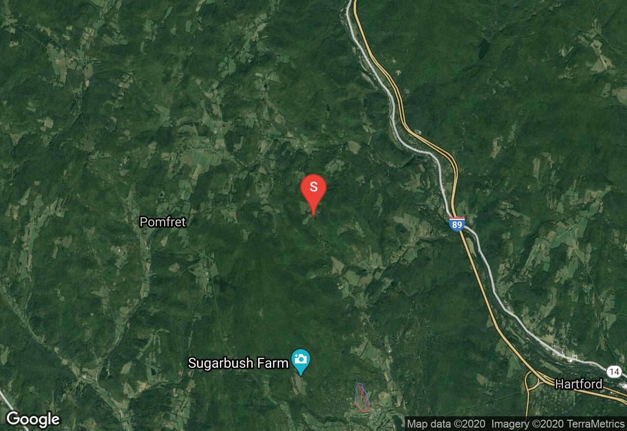
Vermont, Windsor County
04 :04 hrs
9.5 mi
292.0653 ft
Expert
The 2,185 miles of the Appalachian National Scenic Trail spans over fourteen states from Maine to Georgia. From the Connecticut River to the Green Mountains, Vermont offers 150 miles of the Appalachian Trail. This section of the trail begins on Joe Ranger Road and hikes through rugged countryside with scenic woodlands and overgrown farmlands. The trail has a moderate elevation change along a graded dirt trail. After 2 miles into the hike the trail passes Thistle Hills Shelter which is used for multi day/thru hikers. Avoid hiking the trails from April through to May, the wet sloppy conditions leads to serious trail erosion.
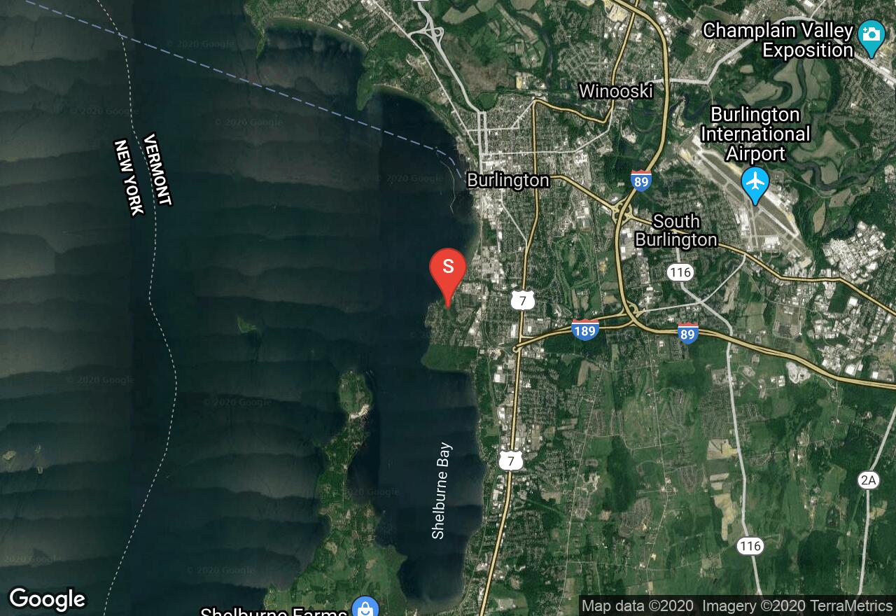
Vermont, Burlington
00 :28 hrs
2.4 mi
10.982191 ft
Easy
Also known as the Burlington Bikeway, the Island Line rail-trail is very popular and one of the best trails in the area. It is flat and follows along Lake Champlain offering unique scenery and access to parks through the town of Burlington. This section begins at Oakledge Park and travels closely along the lake and ends at Burlington Waterfront Park. There is parking at both beginning and end point.
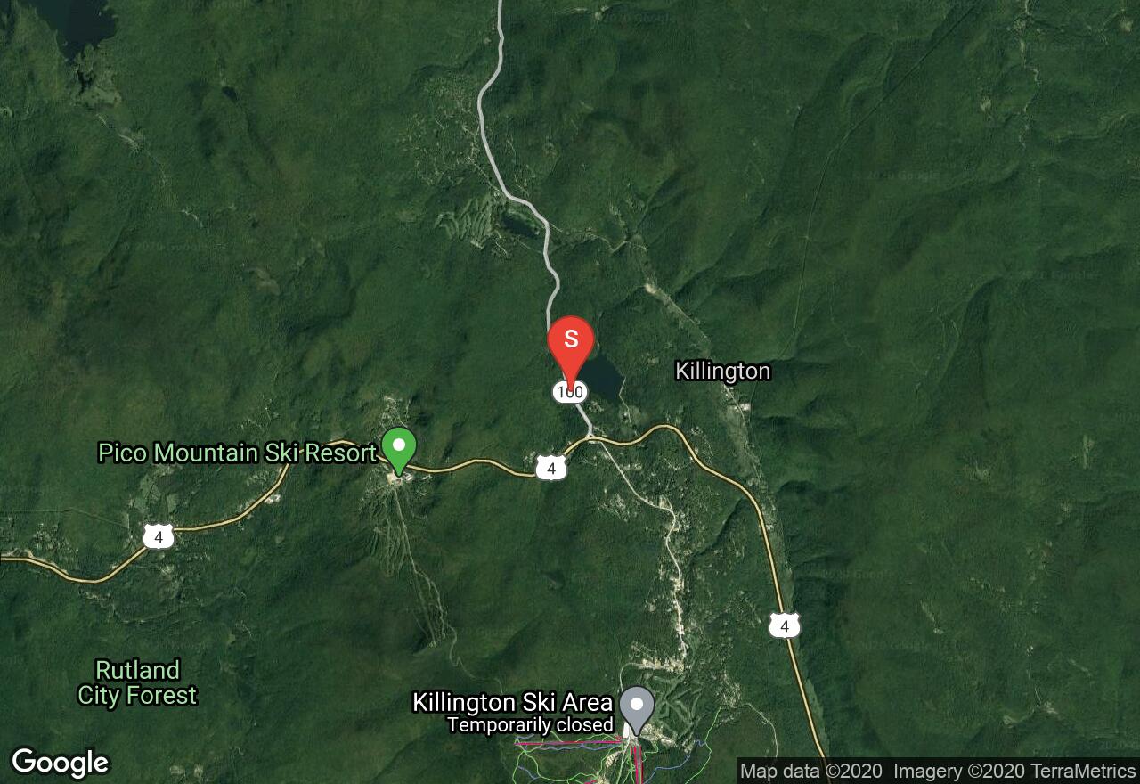
Vermont, Rutland County
04 :11 hrs
3.4 mi
259.45978 ft
Hard
The 2,185 miles of the Appalachian National Scenic Trail spans over fourteen states from Maine to Georgia. From the Connecticut River to the Green Mountains, Vermont offers 150 miles of the Appalachian Trail. This section of the trail begins at Kent Pond and travels through scenic hardwood forests. There is a steep incline in the first mile of the hike and then it evens out with some slight elevation changes. Avoid hiking the trails from April through to May, the wet sloppy conditions leads to serious trail erosion.
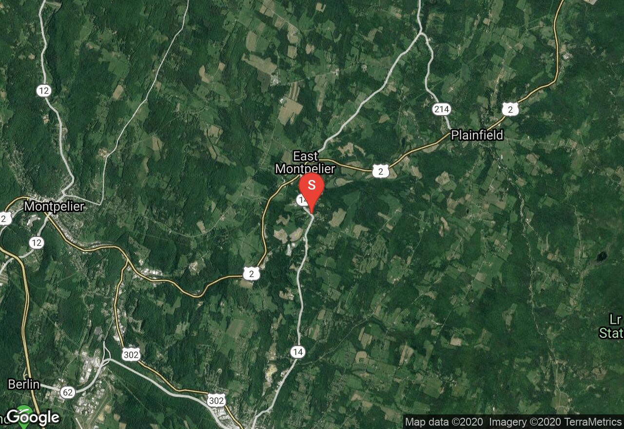
Vermont, Washington County
01 :03 hrs
2 mi
15.386902 ft
Moderate
This rail-trail follows the old Montpelier and Wells River Railroad, which ran across northeast Vermont carrying materials from quarries in Barre. It has three different sections for recreation. This section is a short but quiet wooded route in Plainfield and east Montpelier. There is a variety of wildlife to be seen and the trail surface is a mix of dirt, gravel, and sand.
See more adventures..
Explore complete list
Explore nearby adventures

