Best Snowshoeing in Vermont
Trying to find the best snowshoeing in Vermont? Bivy has great hiking, biking, paddling, climbing, skiing, riding and more, with hand-curated trail maps, as well as detailed driving directions.
Vermont, Washington County
06 :34 hrs
3 mi
790.1849 ft
Hard
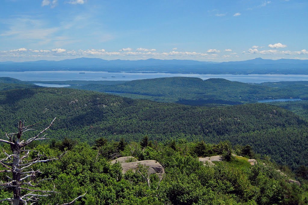
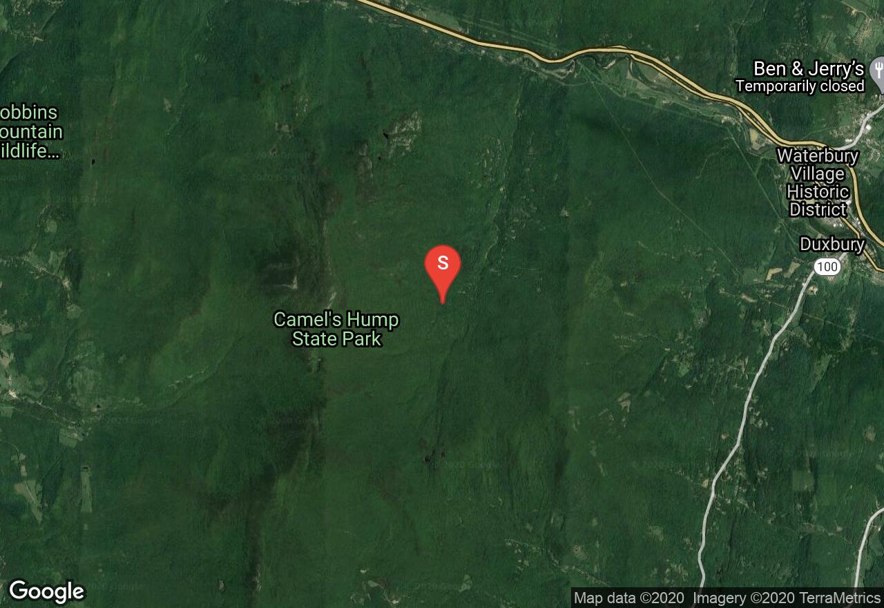
This route to Camel’s Hump is a popular summer and winter destination. Begin at the end of Camel’s Hump Road. Parking during the winter is a little further down from the summer parking lot. Monroe Trail ends at the hut and you can connect with the Long Trail to continue further.
Vermont, Chittenden County
01 :22 hrs
2.5 mi
42.924713 ft
Moderate
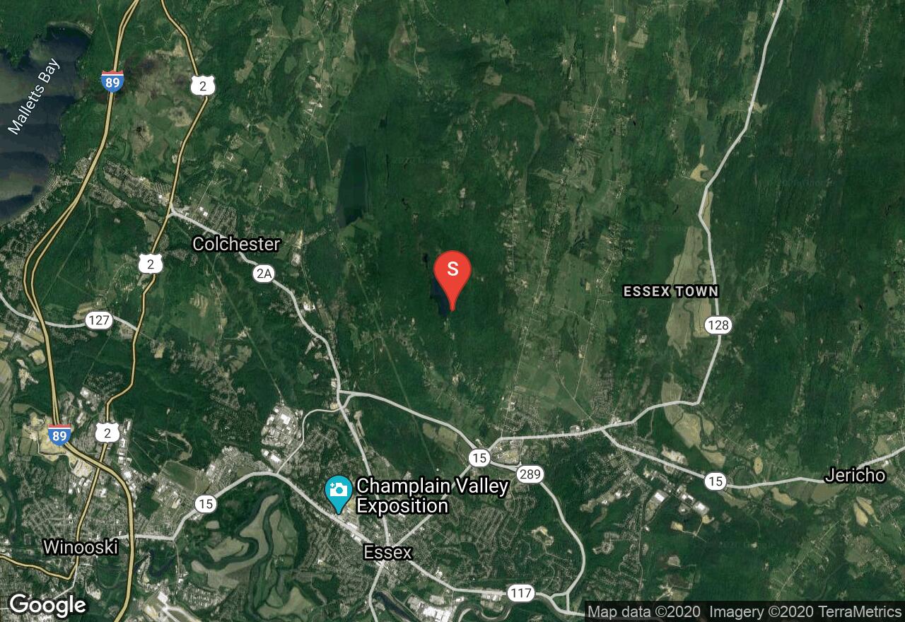
Located in Essex, this short loop circles Indian Brook Reservoir on mostly flat terrain. It offers a scenic and serene winter setting as you travel through the woods with views of the frozen water. Near the north end of the lake is some hilly terrain. Blue arrows point the way along the path.
Vermont, Washington County
01 :42 hrs
3.5 mi
60.452118 ft
Moderate
Woods, rolling hills, fields & views
Vermont, Lamoille County
07 :22 hrs
14.8 mi
941.0039 ft
Extreme
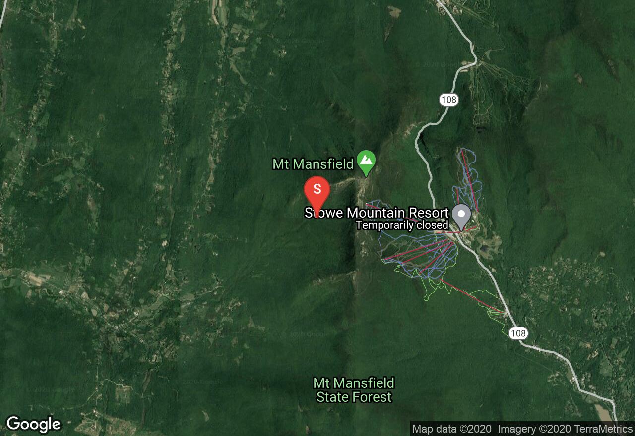
The Long Trail is the oldest long distance trail in the United States. It runs 272 miles in Vermont along the main ridge of the Green Mountains, and connects with the Appalachian Trail for 100 miles. This section of the trail is very scenic and it begins near the Stowe Mountain Resort. The trail has a difficult ascent for the beginning 2.5 miles to the summit of Mount Mansfield. This is the highest point in the State and offers beautiful views of the surrounding mountains. This section of the hike is not recommended during bad weather or high winds. The remaining of the trail there are some easy gradual elevation changes. There are two shelters along this section of the Long Trail which are used for multi day/thru hikers. The Butler Lodge requires a small fee with a capacity of 14 people and is located almost 5 miles into the hike. The Puffer Shelter is located just over 10 miles from the beginning and has a capacity of 6 people. Avoid hiking the trails from April through to May, the wet sloppy conditions leads to serious trail erosion. A shuttle plan is needed for this trail.
Vermont, Chittenden County
02 :54 hrs
5.4 mi
14.103136 ft
Moderate
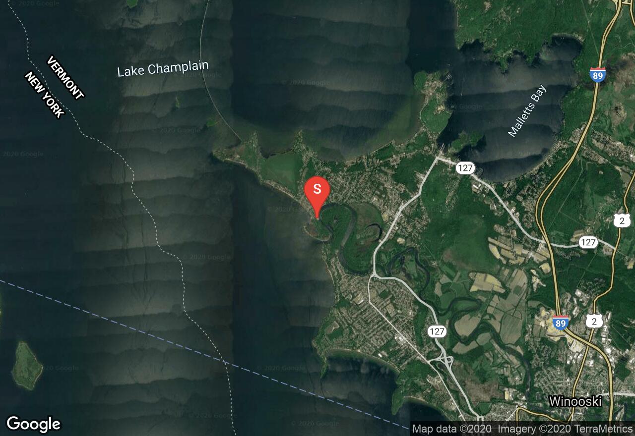
Also known as the Burlington Bikeway, the Island Line rail-trail is very popular and one of the best trails in the area. It is flat and follows along Lake Champlain offering unique scenery and access to parks through the town of Burlington. This section begins at Derway Island and travels south through the town providing access to the lake. The surface is a mix of paved and gravel. You will find several access points and parking.
Vermont, Washington County
08 :21 hrs
15.2 mi
1121.3198 ft
Extreme
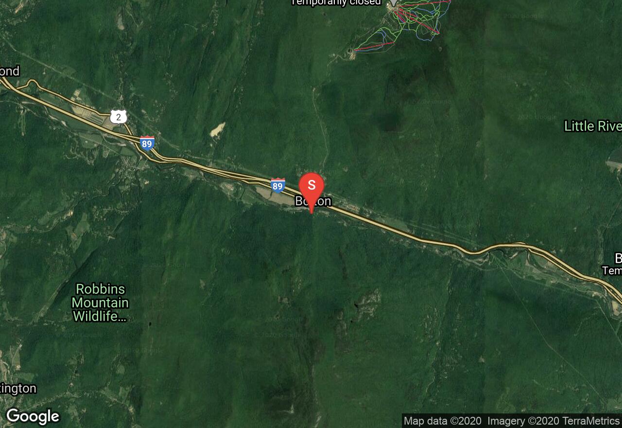
The Long Trail is the oldest long distance trail in the United States. It runs 272 miles in Vermont along the main ridge of the Green Mountains, and connects with the Appalachian Trail for 100 miles. The trail begins with a steep ascent for the first 5.5 miles to the top of Camels Hump. The summit offers treetop panoramic views, and on a clear day one can see the highest peaks of Mount Marcy in New York, Mount Washington in New Hampshire and Vermont's Mount Mansfield. The remaining of the trail there are some moderate elevation changes. There are a few shelters along this section of the Long Trail which are used for multi day/thru hikers. The Montclair Glen Lodge requires a small fee with a capacity of 10 people and is located almost 7 miles into the hike. Avoid hiking the trails from April through to May, the wet sloppy conditions leads to serious trail erosion. A shuttle plan is needed for this trail.
Vermont, Chittenden County
02 :57 hrs
1.7 mi
592.0163 ft
Moderate
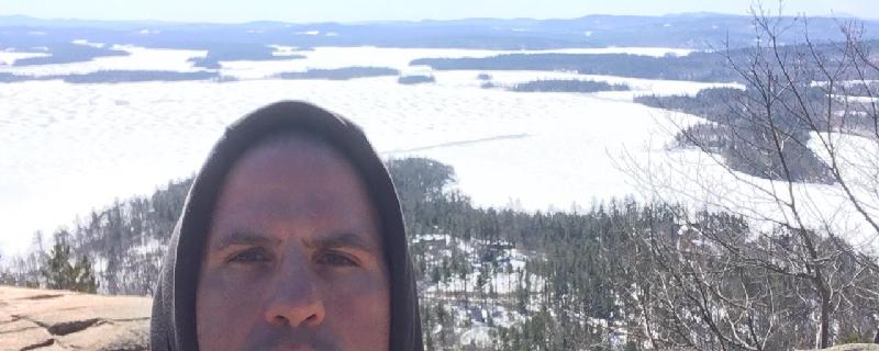
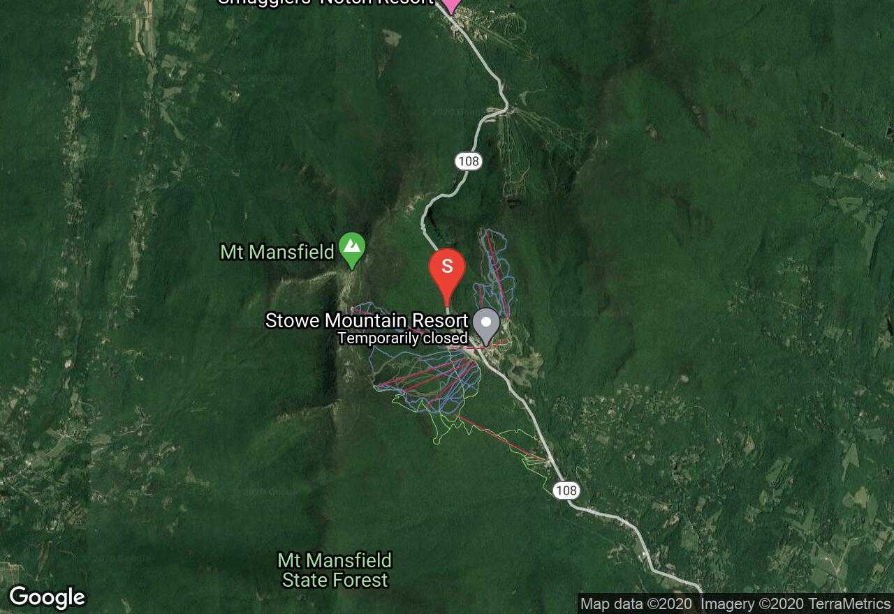
The Sunset Ridge Trail is considered one of the most scenic trails in Vermont. This is a moderately difficult climb to the summit of Mount Mansfield which is the highest point in the state. Most of the hike travels above the tree lines offering amazing views. There are several stream crossings as well as some short steep inclines. When the trail reaches the ridge line it continues over rocky and exposed ledges to the summit. This hike is not recommended during bad weather or high winds.
New Hampshire, Belknap County
00 :52 hrs
2.4 mi
48.61151 ft
Easy
A lovely hike that travels through a beautiful forest setting. It is mostly flat, with groomed paths that are well marked. There is access to the beach, which is a great place to stop for lunch or relaxing. Lots of rocks for the kids to scramble on and ferns everywhere. Dogs are allowed but must be leashed at all times.
Vermont, Windham County
08 :28 hrs
20.9 mi
715.5293 ft
Extreme
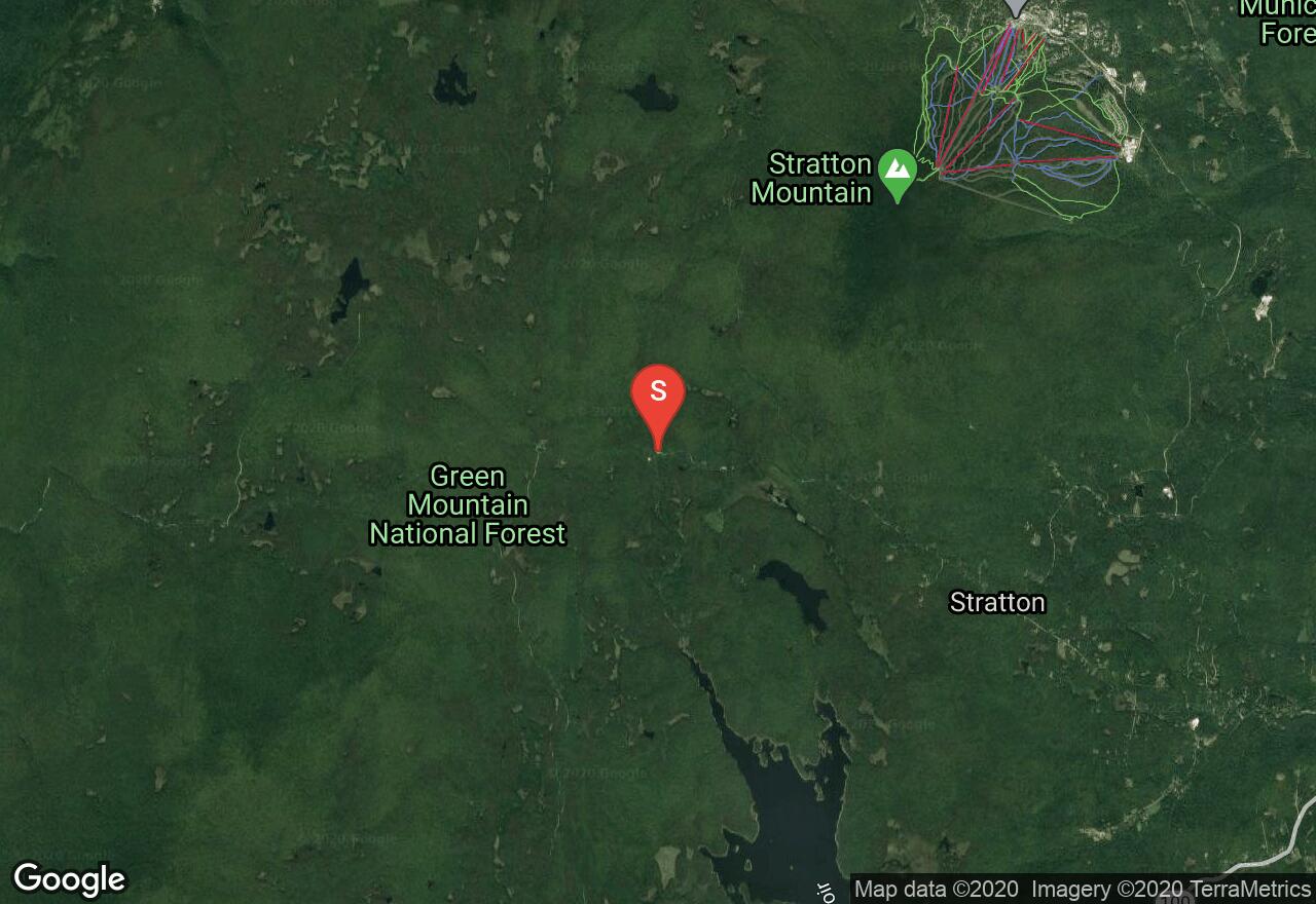
The 2,185 miles of the Appalachian National Scenic Trail spans over fourteen states from Maine to Georgia. From the Connecticut River to the Green Mountains, Vermont offers 150 miles of the Appalachian Trail. This section of the trail is also a part of the Long Trail which runs 272 miles from the Massachusetts border to the Canadian border. The trail travels through a variety of scenic forests with some difficult elevation changes. Once reaching the top Glastenbury Mountain there are beautiful 360 degree views on top of the old fire tower. There are a few shelter options along the hike including the Goddard Shelter which is a popular 2 story overnight shelter. Avoid hiking the trail from April through to May, the wet and sloppy conditions lead to serious trail erosion. A shuttle plan is needed for this hike.
See more adventures..
Explore complete list
Explore nearby adventures

