Best Snowshoeing in Massachusetts
Trying to find the best snowshoeing in Massachusetts? Bivy has great hiking, biking, paddling, climbing, skiing, riding and more, with hand-curated trail maps, as well as detailed driving directions.
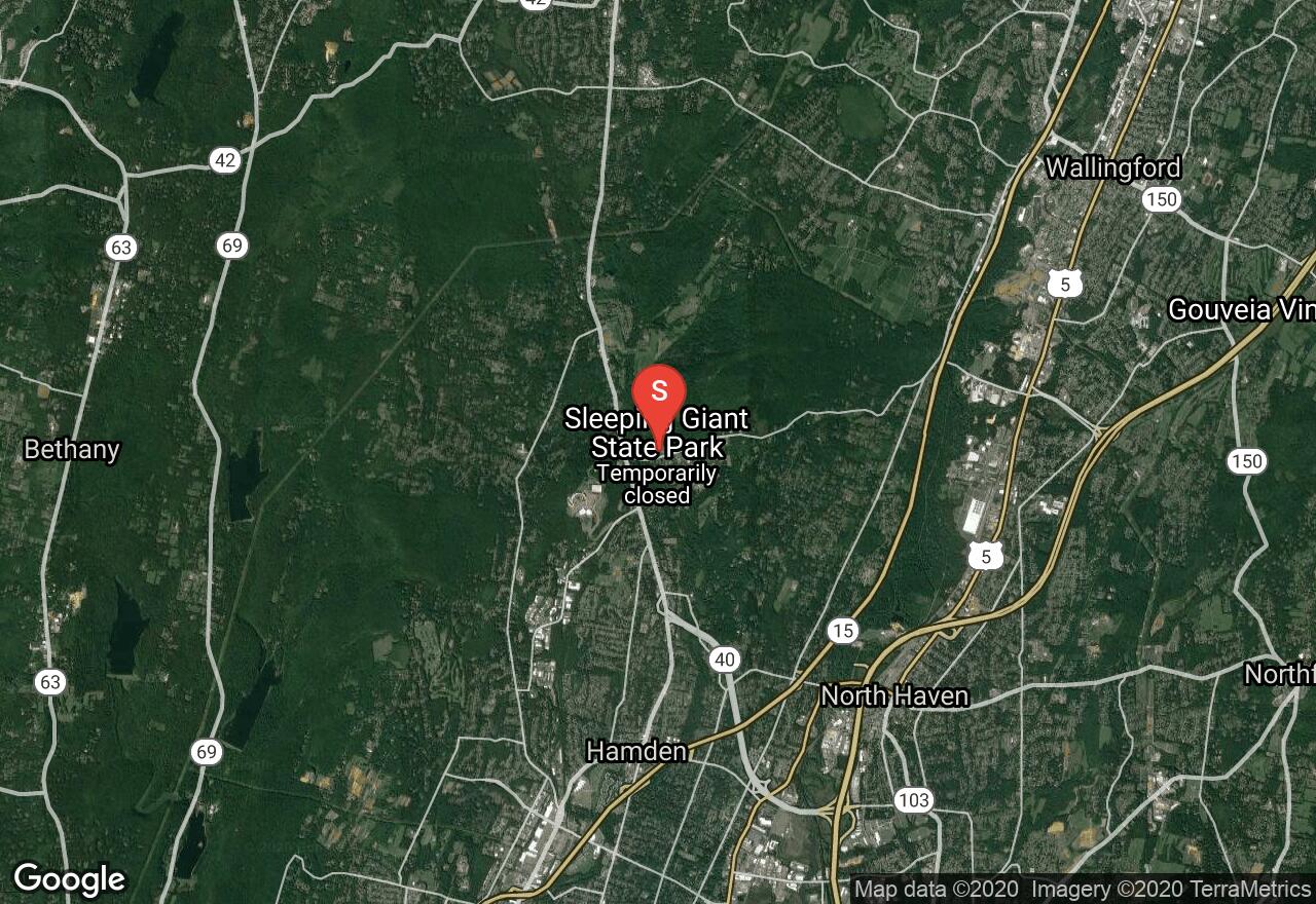
Connecticut, Hamden
03 :03 hrs
4.7 mi
178.59283 ft
Hard
There are several trails in Sleeping Giant State Park, this one explores Mount Carmel, including its 730 ft. peak. The path displays a dense, mixed hardwood forest (basswood, hickory and oak), rocky outcrops and spectacular fields of Connecticut's state flower, mountain laurel. There are several spots that present picturesque views of the valley. Be apprised that dogs must be kept on a leash if you wish to bring them on this hike.
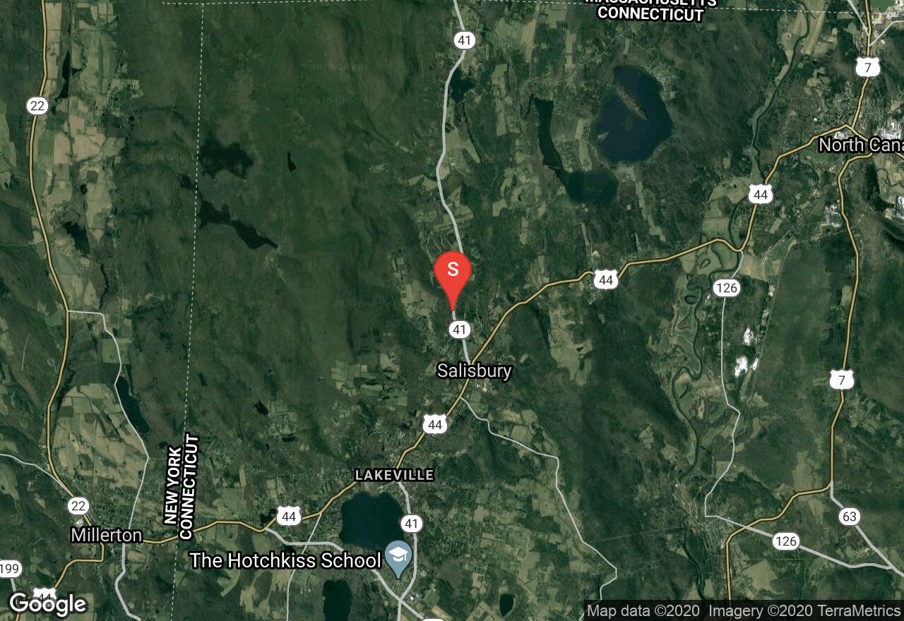
Connecticut, Litchfield County
08 :54 hrs
5.6 mi
482.60464 ft
Expert
The Appalachian National Scenic Trail runs 2,179 miles through beautiful wilderness area in fourteen different states. The trail is protected by and maintained by state and federal governments and is well maintained. In Connecticut there are just over 50 miles of the Appalachian. This section of the trail runs all the way to the state's border with Massachusetts and features excellent views from atop Bear Mountain. The trail runs through a heavily forested area the include a variety of flora including maple, birch, witch hazel and oak trees. Be apprised that dogs must be on a leash while hiking the Appalachian Trail.
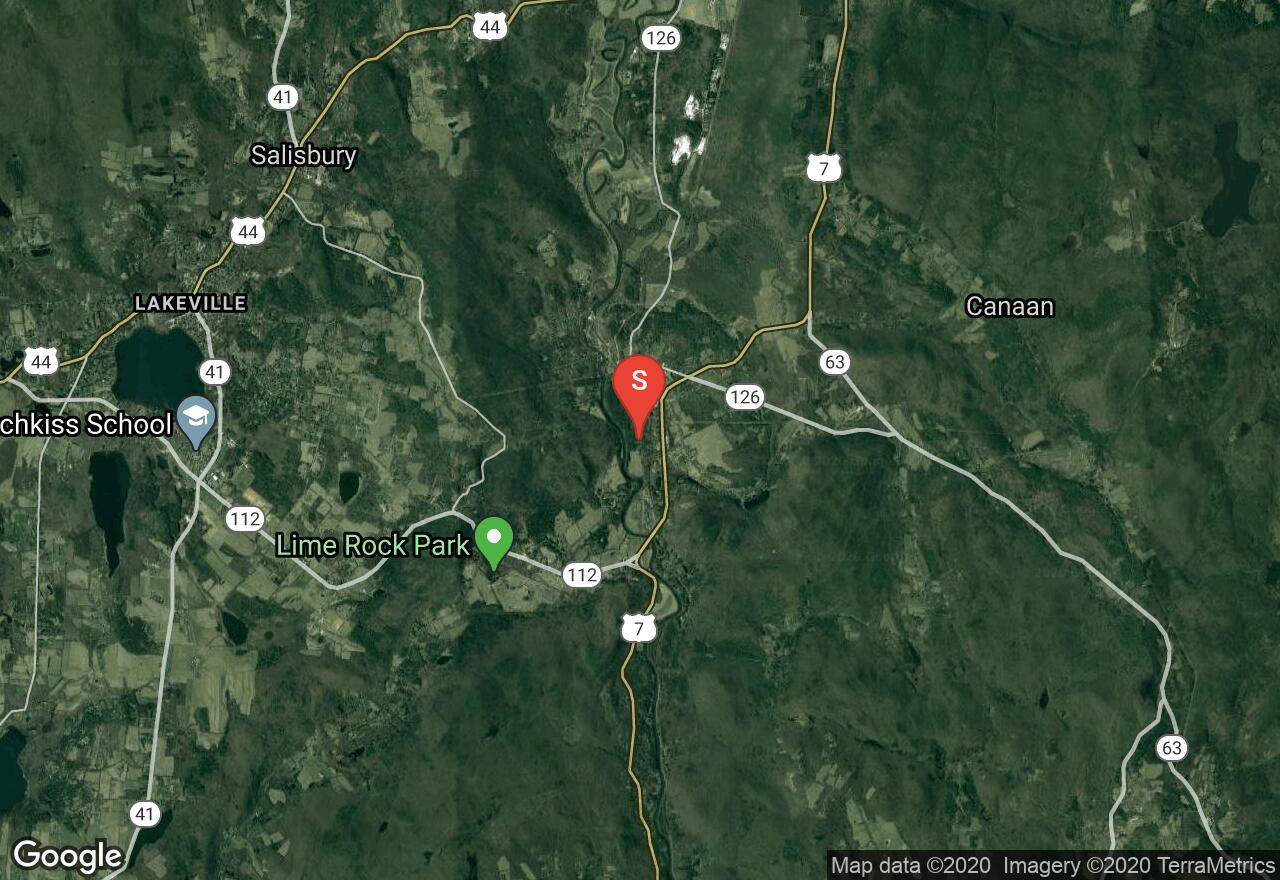
Connecticut, Litchfield County
04 :21 hrs
7.2 mi
274.9648 ft
Hard
The white-blazed Appalachian National Scenic Trail runs 2,179 miles through beautiful wilderness area in fourteen different states. In Connecticut there are just over 50 miles of the Appalachian. This section of the trail features excellent views from atop Mount Prospect. The trail runs through a heavily forested area the include a variety of flora including maple, birch, witch hazel and oak trees. Be apprised that dogs must be on a leash while hiking the Appalachian Trail.
Connecticut, Litchfield County
08 :11 hrs
4.7 mi
180.40672 ft
Expert
The white-blazed Appalachian National Scenic Trail runs 2,179 miles through beautiful wilderness area in fourteen different states. The trail is protected by and maintained by state and federal governments and is well maintained. In Connecticut there are just over 50 miles of the Appalachian. This section of the trail features some great views through a forest with a variety of flora including maple, oak and sycamore trees. Be apprised that dogs must be on a leash while hiking the Appalachian Trail.
Connecticut, Litchfield County
09 :29 hrs
6.1 mi
242.4855 ft
Extreme
The Appalachian National Scenic Trail runs 2,179 miles through beautiful wilderness area in fourteen different states. The trail is protected by and maintained by state and federal governments and is well maintained. In Connecticut there are just over 50 miles of the Appalachian. This section of the trail features two peaks, one on Mount Easter and the other is on Forge Mountain. The trail runs through a heavily forested area the include a variety of flora including maple and oak trees. Be apprised that dogs must be on a leash while hiking the Appalachian Trail.

Connecticut, Litchfield County
03 :33 hrs
6.3 mi
264.18924 ft
Hard
The Appalachian National Scenic Trail runs 2,179 miles through beautiful wilderness area in fourteen different states. The trail is protected by and maintained by state and federal governments and is well maintained. In Connecticut there are just over 50 miles of the Appalachian. This section of the trail features excellent views from atop Silver Hill. The trail runs through a heavily forested area the include a variety of flora including maple, birch, witch hazel and oak trees. Be apprised that dogs must be on a leash while hiking the Appalachian Trail.
Connecticut, Litchfield County
02 :51 hrs
4.5 mi
190.10461 ft
Hard
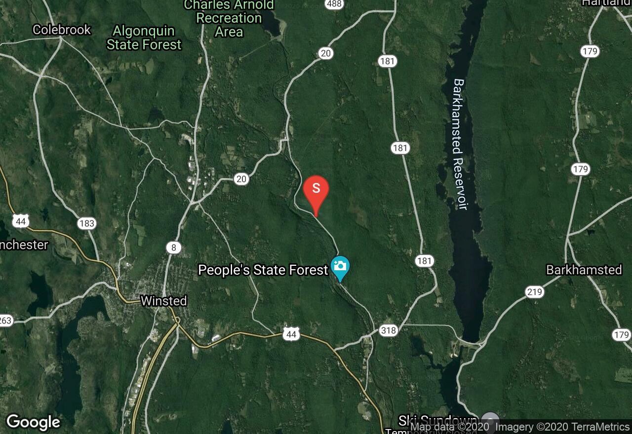
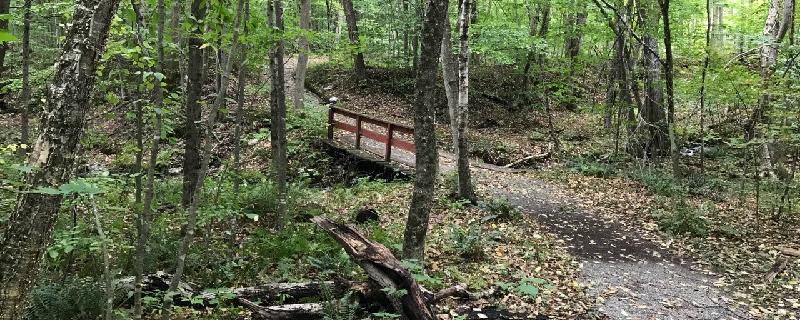
People's State Forest was started by the Civilian Conservation Corps in 1935 and offers a peaceful and beautiful hiking adventure. Some of the features of this trail include Farmington River, forest views, wildlife and Beaver Brook. The forest is full of a variety of tree species including maple, oak, pine, hemlock and beech. Be apprised that dogs must be kept on a leash while on the trails in the state forest.
Massachusetts, Williamstown
01 :11 hrs
3.1 mi
92.845795 ft
Moderate
This trail is in the northwestern corner of Massachusetts in the Taconic Mountain Range. You will begin your hike at the Buxton Garden and hike up into the thick hardwood forest. As you climb you will notice spots on the trail where you can look back for a view over Williamstown. You will hike down along the Birch Brook for a bit before climbing up to a ridge. The trail will then follow the ridge all the way back down to your car. This forest is filled with an array of wildlife, watch for signs of these on your hike.
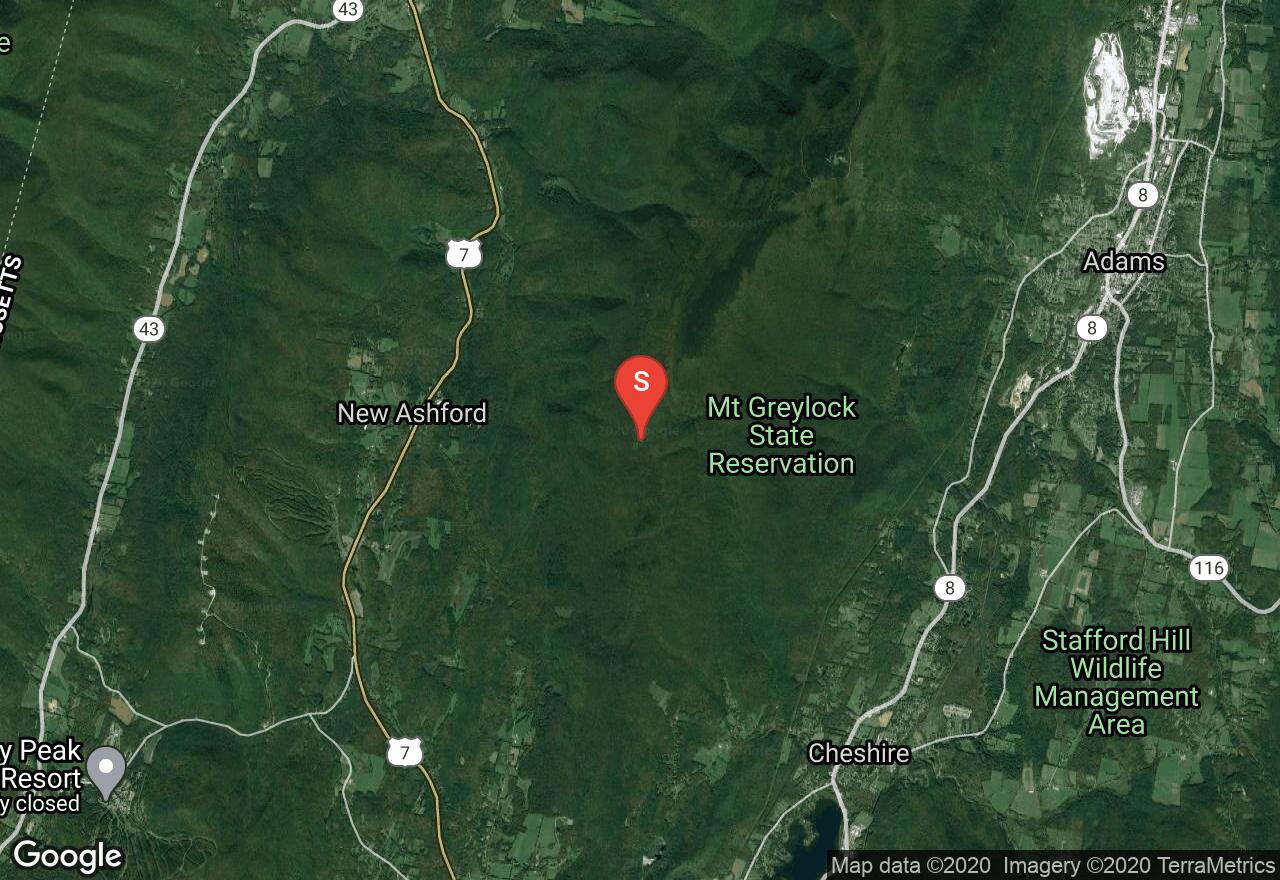
Massachusetts, New Ashford
03 :41 hrs
3.3 mi
336.42255 ft
Hard
This hike follows the Appalachian Trail and is well-marked and easy to follow. You will tour through a variety of woodlands, grassy meadows, and past pretty streams as you climb Saddle Ball Mountain and follow the ridge up to Mt. Greylock. The majority of this hike is on the mountain ridge allowing for many lookouts, both near and far, along the path. You will first hike through Jones Nose which is a large meadow with a great view and a variety of wildflowers. The end of the trail is at the summit of Mt. Greylock, the highest peak in Massachusetts, where you will find historic monuments and views of the Taconic Mountain range, Hopper Valley, and the cities below.
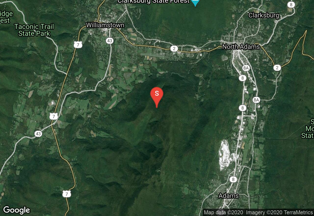
Massachusetts, North Adams
02 :33 hrs
5.8 mi
345.51617 ft
Hard
The majority of this trail is at a high point, as it follows the ridge, providing great views for the duration of most of the hike. Mt. Greylock’s peak is the highest point in Massachusetts and the views are phenomenal. Following the Old Summit Road on the way back down provides a change in scenery and brings you near the Money Brook Falls which can be easily accessed via Hopper Trail.
See more adventures..
Explore complete list
Explore nearby adventures

