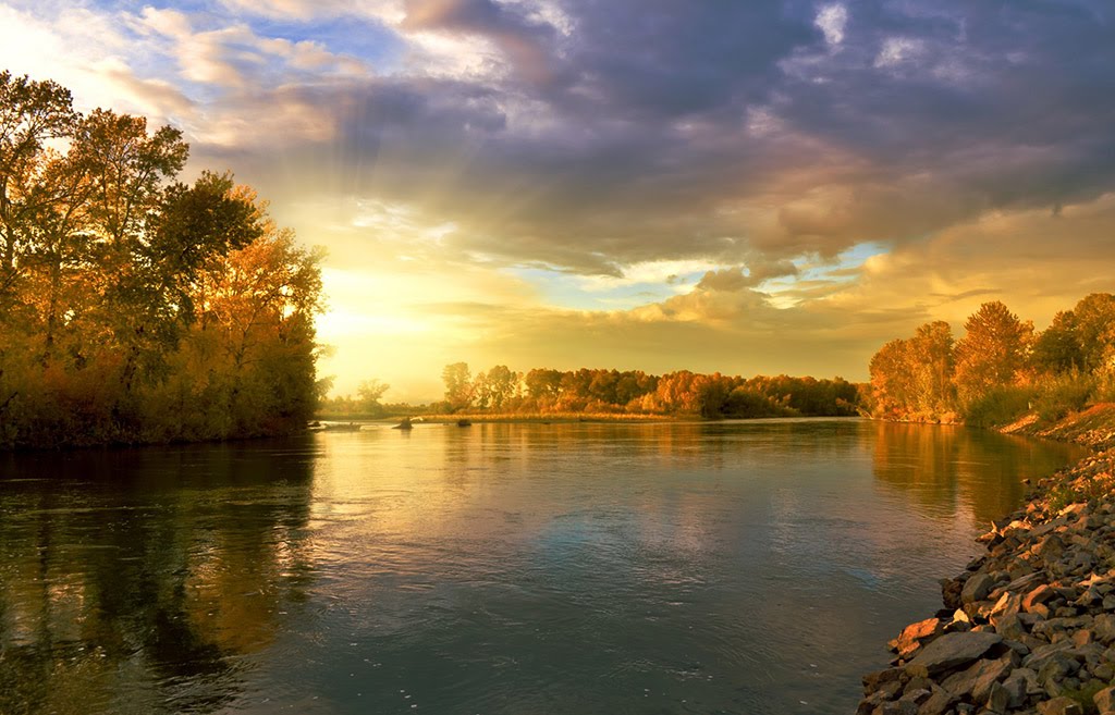
Best Kayaking in New York
Trying to find the best kayaking in New York? Bivy has great hiking, biking, paddling, climbing, skiing, riding and more, with hand-curated trail maps, as well as detailed driving directions.
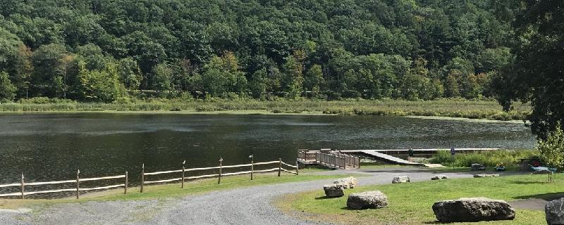
New York, Albany County
00 :24 hrs
1 mi
16.20044 ft
I
Lake is lovely and peaceful but very small. Super easy beach type launch area with picnic pavilion, portapotty and charcoal grills. Plenty of parking. No fees. Park has playground and hiking trails. Trails appear as if they might be good for mountain biking. Lake has lovely marshy areas at either end full of snapping and painted turtles, king fisher, great blue herons and other water birds. Didn't seem possible to navigate too far into the marshes before it became impassible. Seems to be popular with fishers. Lovely in every way except that there is little to explore. Even the laziest of paddles of the perimeter will take no more than an hour. Excellent location for a new paddler to test out a boat and skills.
New York, City of Saratoga Springs
02 :57 hrs
3.5 mi
13.973263 ft
I
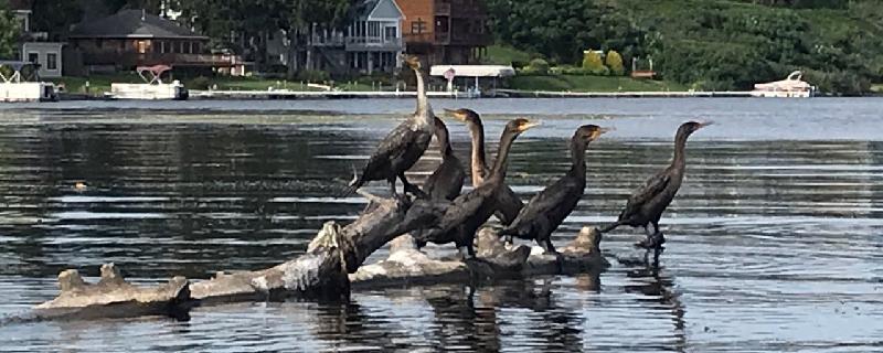
Possible wind and waves across Saratoga Lake. One mile to the entrance to the Kayadeross Creek. Paddle upstream against very gentle current. Plenty of water and no significant obstruction at water level 203.6 https://waterdata.usgs.gov/ny/nwis/uv/?site_no=01330884&PARAmeter_cd=62614,00065,00062 Possible side trip: One mile in is well marked turn off to the right. Lake Lonely Outlet, very pretty wooded one mile to Lake Lonely. Lake Lonely Livery rents kayaks and SUPS. Park and launch available for $8 per car. About 1.75 miles upstream from Lake Lonely turn off is Kayadeross Ave Launch. We were told there was room for about 5 cars and approximately 100 yard portage to water from parking. Beyond here it gets very noisy as you approach I-87. Mergansers, Herons, King Fishers, Turtles.
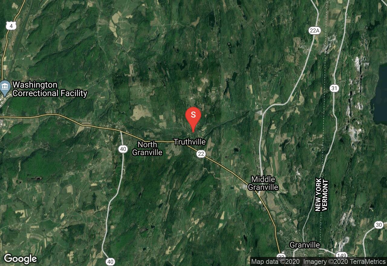
New York, Washington County
03 :14 hrs
7.5 mi
23.211758 ft
II
Enter South Bay, Whitehall Marina, Poultney River
New York, Erie County
01 :25 hrs
3.3 mi
9.245956 ft
I
Ellicott Creek is a tributary of Tonawanda Creek in Western New York. This is easy paddling through smooth water, floating launch, and lots of wildlife.
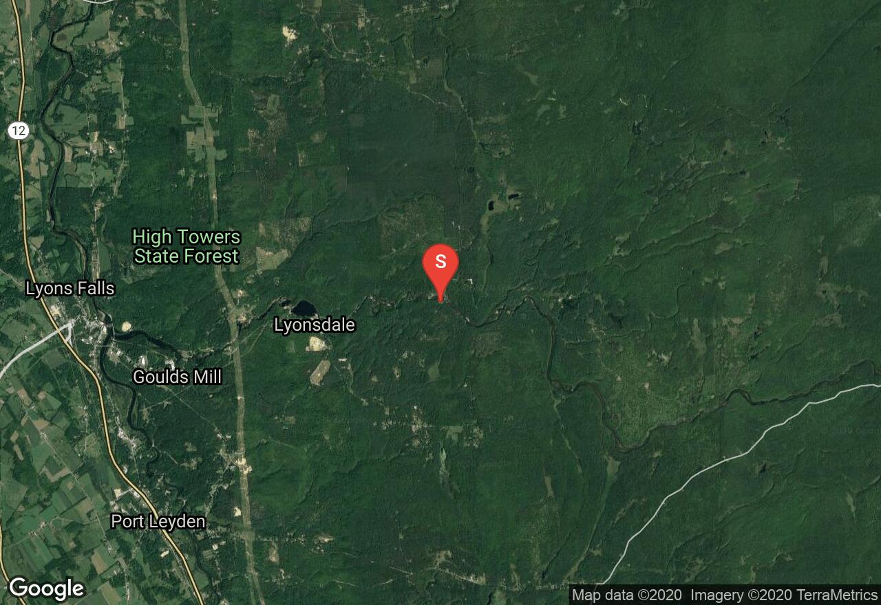
New York, Lewis County
01 :28 hrs
4.1 mi
88.760864 ft
VI
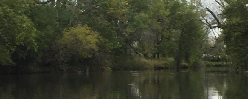
One of the more notable whitewater paddling adventures in New York is the Moose River Bottom. Very popular, and for good reason, it features several cascade falls, slides, rapids, and some flat water areas. Some noteworthy sections are Fowlersville Falls, Double Drop, Agers Falls, and Crystal. The center of Fowlersville Falls can be quite dangerous and many take the far left route - but be sure to scout it out. A little further downstream is Knife's Edge where most stay to the right and avoid the center pothole that has proved fatal in years past - again, be sure to scout it out. Shortly after, there is a required portage around a dam. Extreme caution should be used when attempting this course and only experienced paddlers should consider it. Be sure to study the route in more detail before attempting in order to be familiar with all hazards. Difficulty rating can fluctuate depending on water levels.
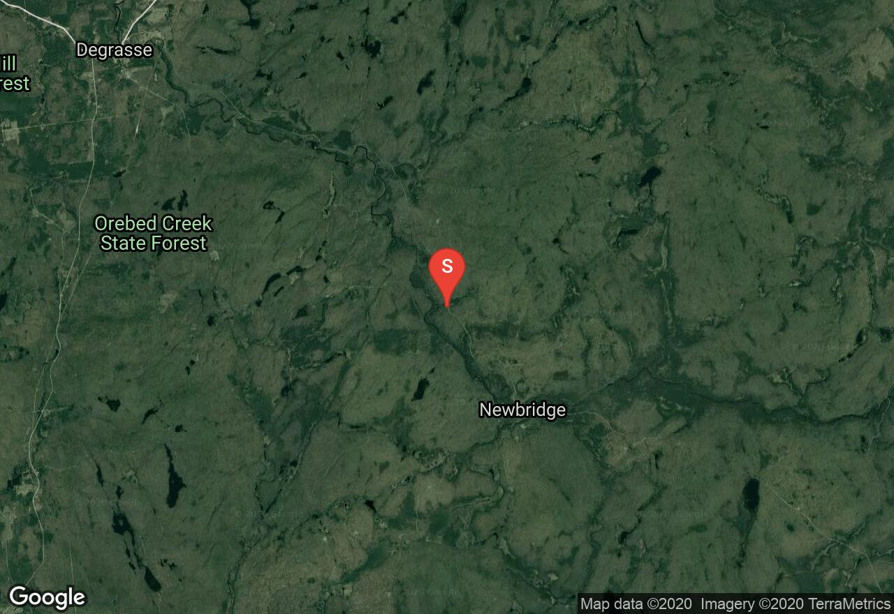
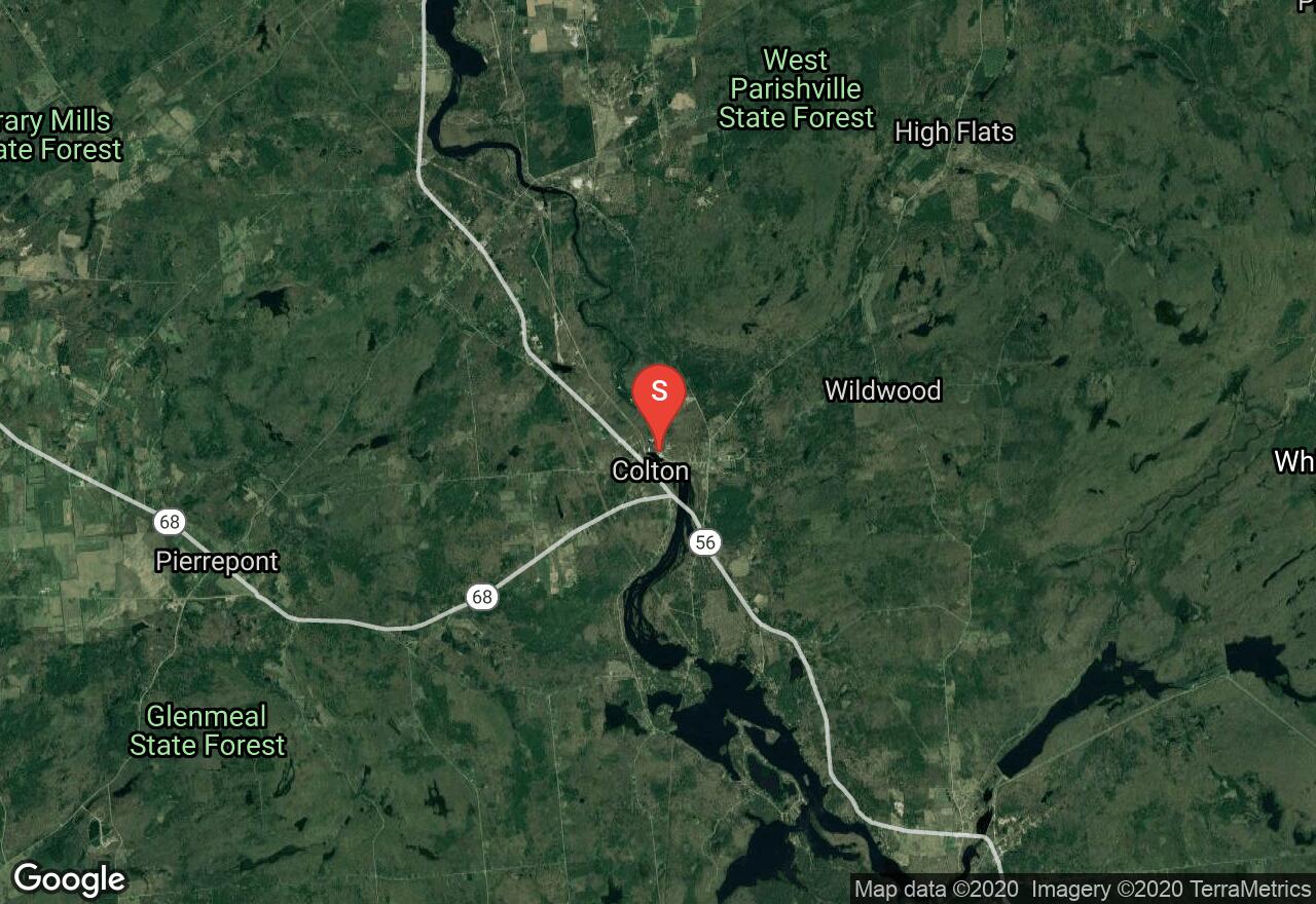
New York, Saint Lawrence County
02 :49 hrs
7.5 mi
126.285934 ft
V
This section of the Grass River features a series of large waterfalls and major rapids. The first of which is Large Marge, a 30 foot waterfall. There are also long slides and a 35 foot staircase falls named Twin Falls. Other notable falls include: Flat Rock, Adrenaline, Sinclair, and Bashford. There is a small area to park at put-in along the side of the road; with a trail leading to the river a hundred yards away or so. Take-out is at the bridge in Degrasse wherever suitable. Be attentive to restricted parking areas. Extreme caution should be used when attempting this course and only experienced paddlers should consider it. Be sure to study the route in more detail before attempting in order to be familiar with all hazards - and check water levels before going.
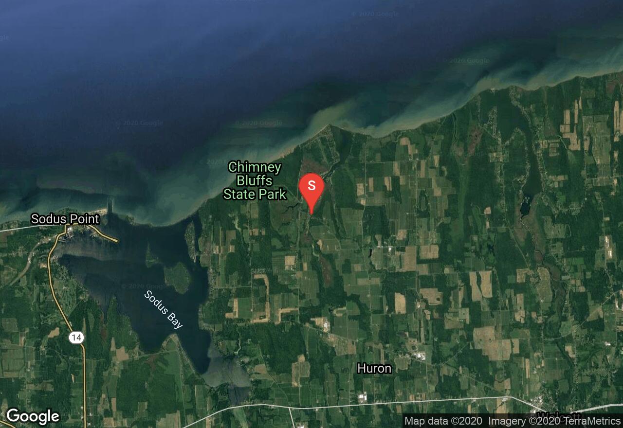
New York, Wayne County
02 :42 hrs
3.2 mi
5.679001 ft
I
Short paddle to East Bay channel into Lake Ontario
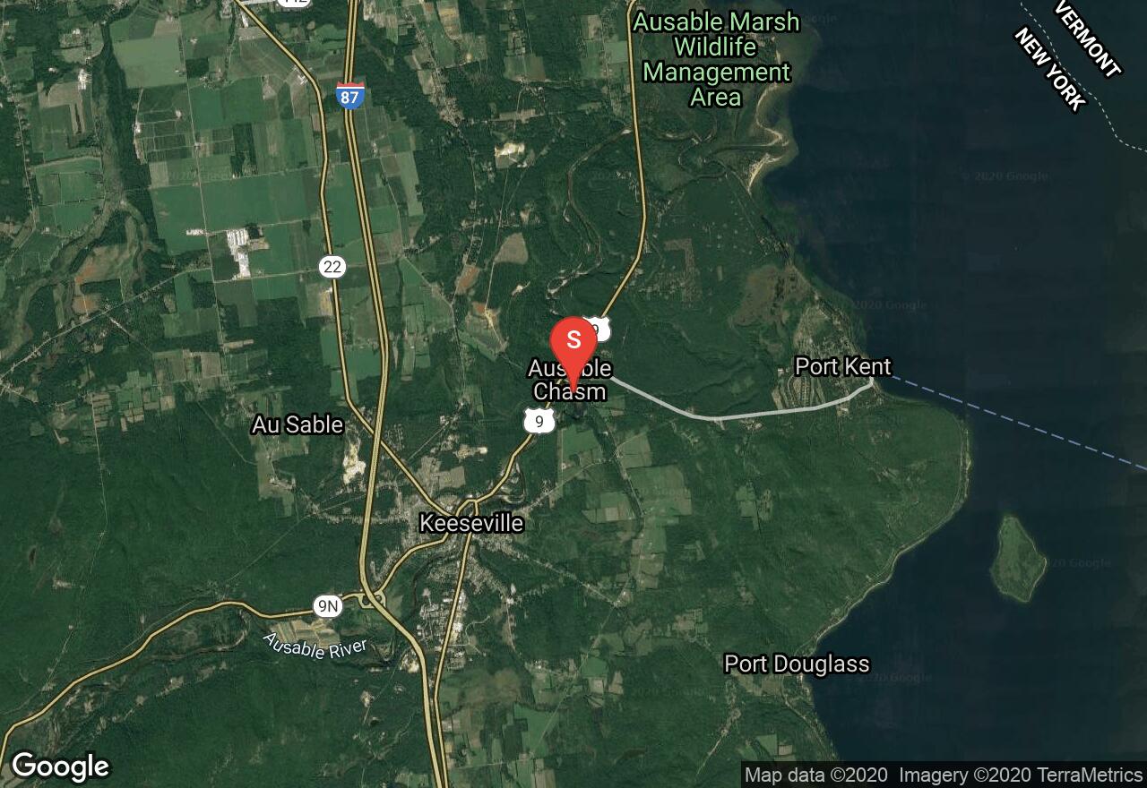
New York, Essex County
01 :13 hrs
3.4 mi
68.03785 ft
IV
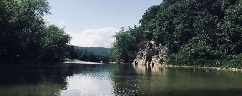
This popular route attracts many to its waters - somewhat of a tourist attraction really. The major rapids and focal points are within the first mile of this route, after which is mostly flat water paddling to the take-out. One will certainly notice the unique natural scenery of steep cliffs lining this section of the river. Just upstream of the put-in location is Rainbow Falls, a 50 foot waterfall that helps add to the beautiful scenery. Be attentive to restricted parking areas at both put-in and take-out locations. Put-in is near a local power plant station where one will need to find a spot to launch from that suits. Take-out is next to a bridge where one will also need to find a suitable exit point. Be sure to check water levels before going.
New York, Saint Lawrence County
00 :59 hrs
3 mi
90.18387 ft
VI
All the intensity of this course is packed into the first mile. There are falls, holes, and big rapids. One stretch of rapids is called, The Tub, after which it's recommended to steer right when the river splits to paddle through Particle Accelerator. Parking at the put-in is limited and a short carry to the water below the dam is required - simply find a suitable launch site. At take-out, find a place to park along Lenny Road and take-out where comfortable. Be attentive to restricted parking areas. Extreme caution should be used when attempting this course and only experienced paddlers should consider it. Be sure to study the route in more detail before attempting in order to be familiar with all hazards. Before going, check water levels as well as when the dam releases its water. Difficulty rating can fluctuate depending on water levels.
New York, Washington County
01 :22 hrs
3.5 mi
48.592567 ft
VI
The Mettawee River offers some significant rapids and falls for high adventure seekers. There is a big drop just under the bridge at put-in, and a little further downstream is a small waterfall that has a giant rock in the middle. To the river left of the rock is a large strainer or sieve that has claimed a life. Be sure to avoid that and scout it out before hand if necessary. At the end of this course is a large waterfall - about 10 feet in height. It's advised to scout it out before hand to decide the best route over (the waterfall is said to have a cave behind it). Note that there isn't really any marked spot to launch or park at the put-in location.
See more adventures..
Explore complete list
Explore nearby adventures

