Best Trail Running in Montana
Trying to find the best trail running in Montana? Bivy has great hiking, biking, paddling, climbing, skiing, riding and more, with hand-curated trail maps, as well as detailed driving directions.
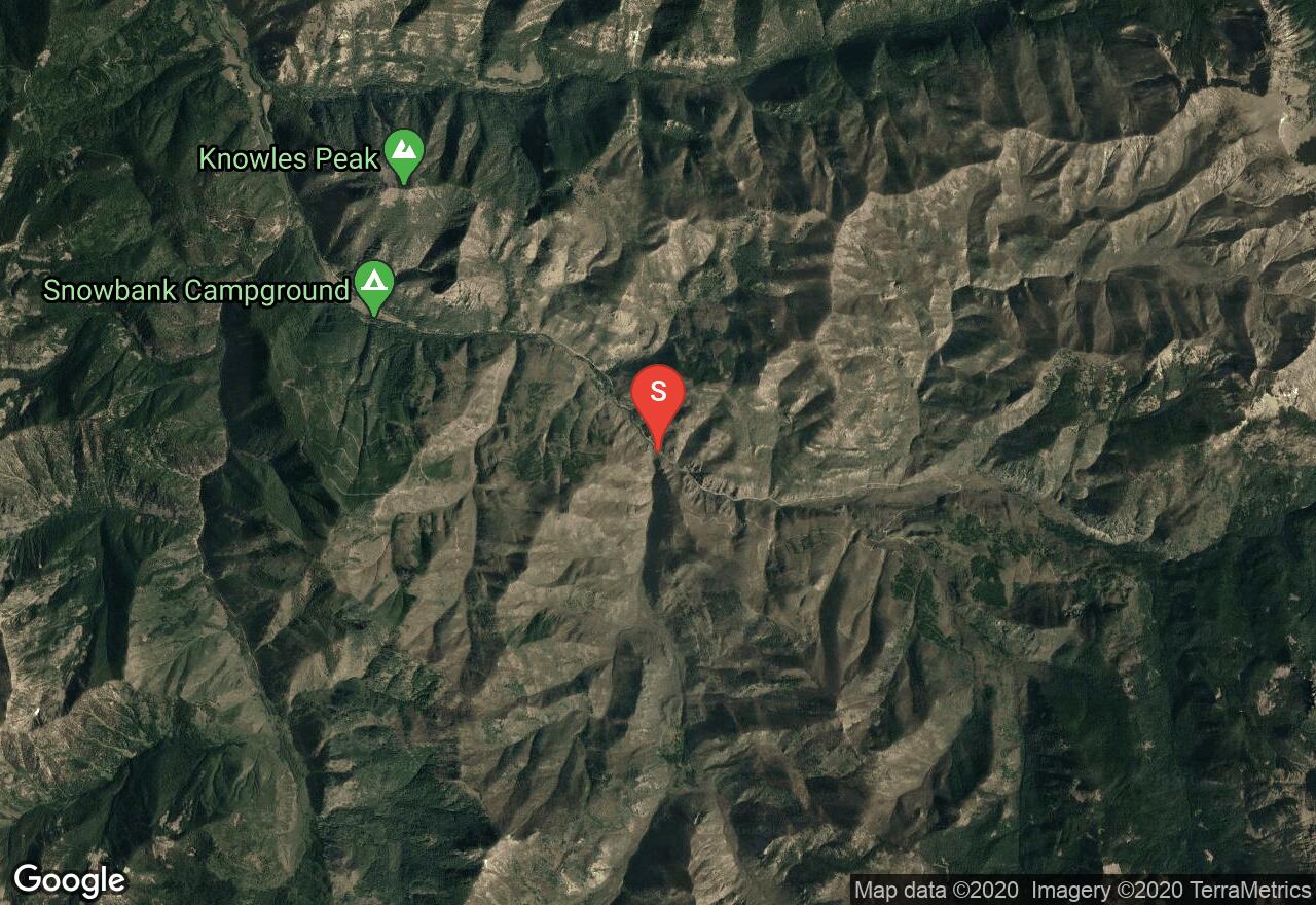
Idaho, Lemhi County
07 :14 hrs
9.2 mi
446.31494 ft
Extreme
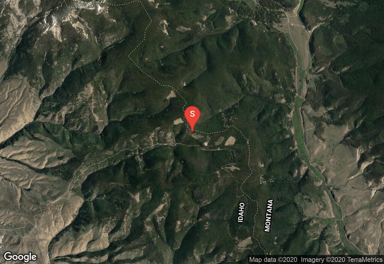
This run should only be attempted by those who are trained to do power running. The run follows the continental divide in a northwesterly direction near the Montana border. The trail is a singletrack with some strenuous grades, and it gets more difficult the farther north you go. It starts out fairly easy, so there is an option to plan a shorter out and back trip. There are some amazing views from the trail, a rock garden, and plenty of wildlife. If you plan on camping, a wilderness permit can be obtained from a Forest Service facility or a registration box.
Idaho, Lemhi County
03 :54 hrs
5.2 mi
147.34644 ft
Expert
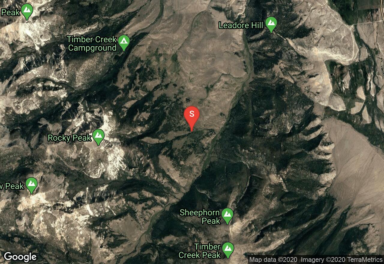
The trailhead is located south of the town Leadore, just past Leadore Hill. The Big Timber Creek area offers some pretty amazing trails. This route leads towards the Rocky Peak area, and it's only a section of large loop that goes around the mountain. The run leads through creeks, timber, shrubs, and loose rocks.
Montana, Missoula
01 :42 hrs
5 mi
253.11475 ft
Moderate
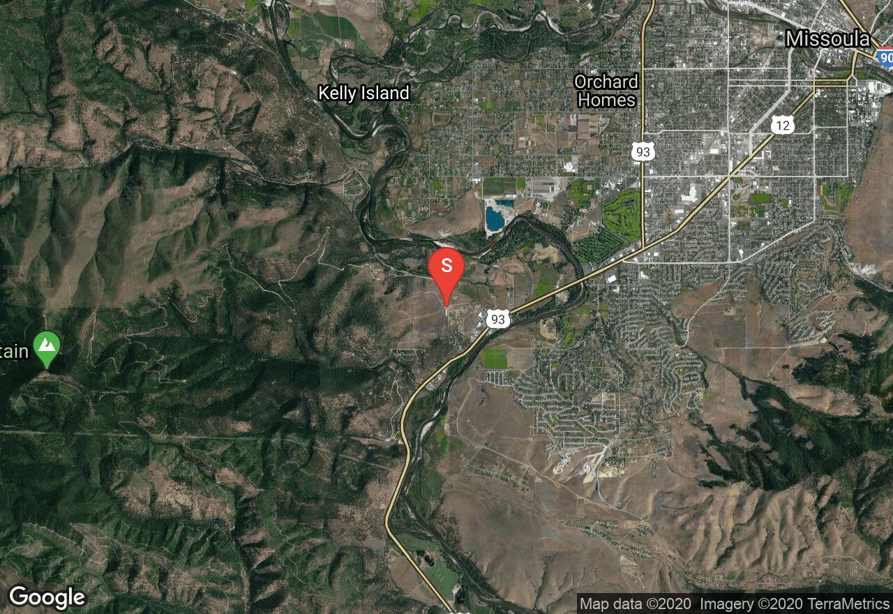
Located in the foothills of Missoula, this trail is blooming with a variety of wildflowers in the summer. This route is easy to follow with a network of other trails as options to explore. The views of the valley are breathtaking.
Wyoming, Crook County
01 :05 hrs
2.8 mi
89.46289 ft
Moderate
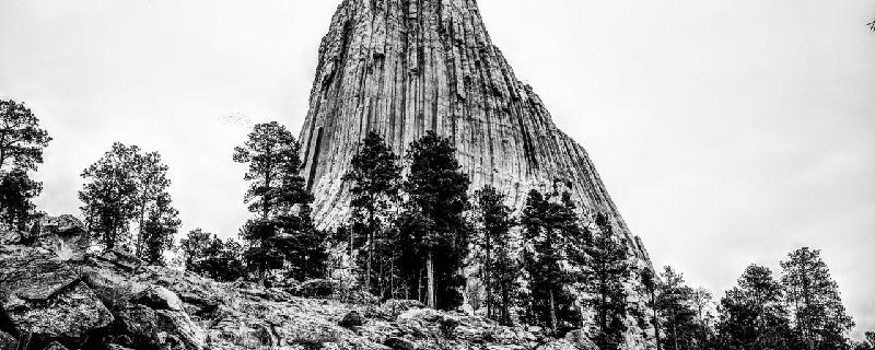
This is the longer of two loops which includes the Southside Trail and the Red Beds trail. You can also include the Valley View section which would add almost a mile. The Devils Tower is a one-of-a-kind monolithic feature that was the first to become a national monument. There is a fee charged upon entering the monument area.

Montana, Helena
00 :39 hrs
1.4 mi
84.19568 ft
Expert
The trail to Mini Machu is wide and well-maintained. The trail has a gradual ascent with views and rest points along the way. The trail becomes steeper, more narrow and more challenging as you near the base of the mountain.
Montana, Gallatin County
03 :43 hrs
3 mi
490.765 ft
Hard
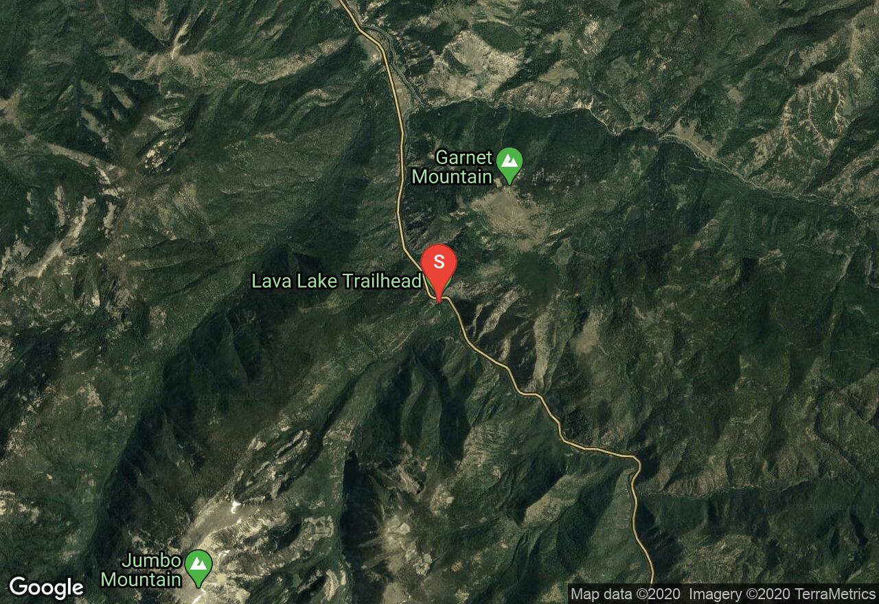
This popular route is a favorite in the area. The trail travels through a dense evergreen forest alongside Cascade Creek. Enjoy the mini waterfalls on the journey up. This amazing lake was formed by a landslide damming the creek. It is nestled in a thick forest, surrounded by steep granite walls with views of the surrounding peaks. There are places to camp at the lake but there are no fires allowed within a half mile of the lake.
Montana, Gallatin County
12 :10 hrs
19.6 mi
1422.9104 ft
Extreme
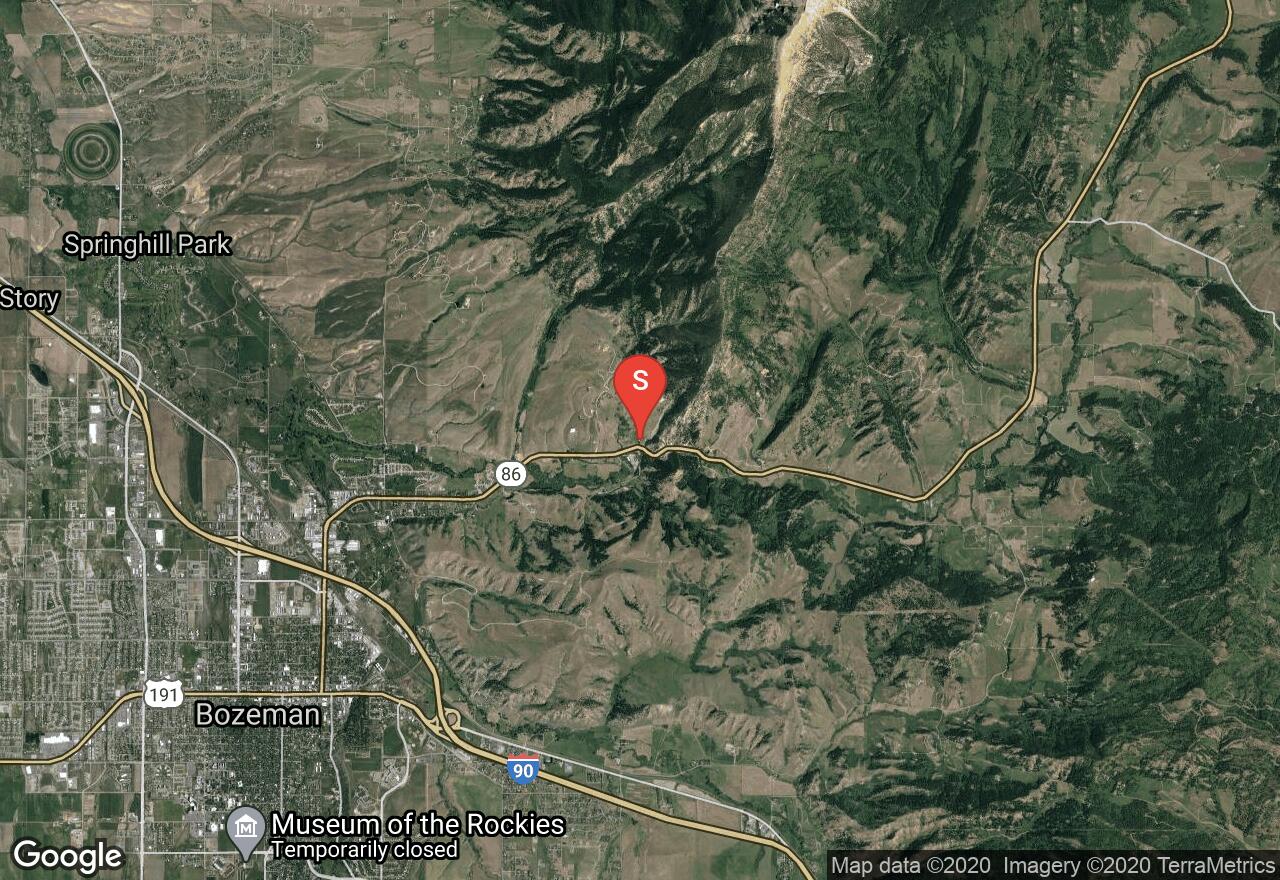
This trail is long and burly, the perfect test piece for the individual looking for a serious challenge. Every year in late summer a trail running race, the Bridger Ridge Run, is held pitting 300 runners against each other, themselves and the ridge itself. Plan a shuttle for pick up at the end of the one way trail. The map shows the trail beginning at the "M" Trail, getting the first and most major climb out of the way first, however, individuals may wish to follow the course of the race, starting at Fairy Lake. Portions of the trail are faint and will require some route finding skills. Enjoy the views and bring plenty of food and water.
Wyoming, Yellowstone National Park
04 :08 hrs
3.5 mi
419.2798 ft
Expert
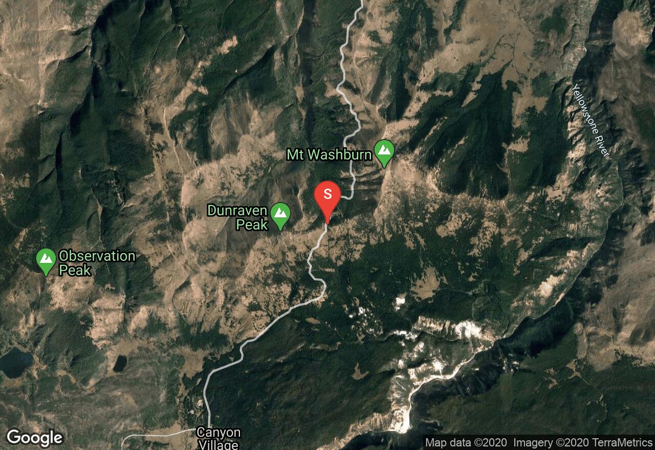
This is what is left of the old volcano on the north end of Yellowstone's giant caldera. This trail is actually a seldom used service road which makes for a nice wide, flat hiking surface. Mount Washburn is known for it's showcase of wildflowers and spectacular views.
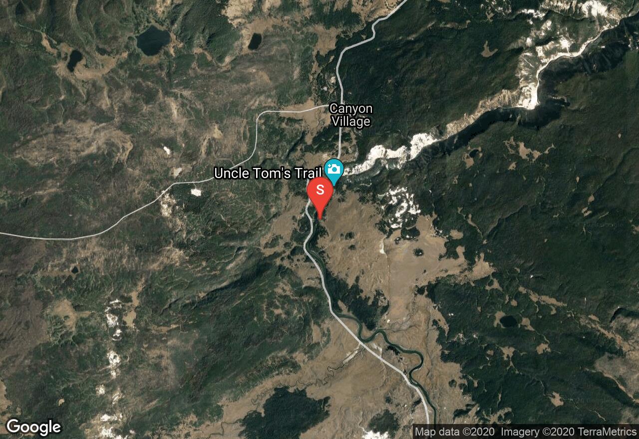
Wyoming, Yellowstone National Park
01 :40 hrs
1.8 mi
27.785645 ft
Easy
This trail follows the south rim of the Yellowstone River. It is plotted as out to Artist Point and back, but you can choose whatever distance you want to cover. The trail also passes by the Uncle Toms trailhead where you can descend the metal stairs into the Grand Canyon of the Yellowstone.
Montana, Park County
02 :01 hrs
2.3 mi
121.01758 ft
Hard
This short hike in the Absaroka Mountains takes you through country healing from wildfire, to a large waterfall, pouring over mossy rocks to the canyon floor. The trail follows Passage Creek on a mild grade until a steeper pitch confronts you in the last half mile. This is also a popular mountain biking trail for beginners or an early season leg stretcher.
See more adventures..
Explore complete list
Explore nearby adventures

