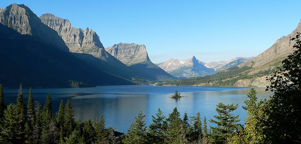
Best Mountain Biking in Montana
Trying to find the best mountain biking in Montana? Bivy has great hiking, biking, paddling, climbing, skiing, riding and more, with hand-curated trail maps, as well as detailed driving directions.
Idaho, Shoshone County
03 :07 hrs
12.5 mi
298.65723 ft
Hard
The ride starts near the border of Montana, and it's actually best to access the route from Interstate 90 at exit 5 in Montana. The route is one of the most unique and fun rail-trail adventures that Idaho has to offer. While following the historic Old Milwaukee Road, the ride passes through 8 tunnels and about 7 high trestles. The Forest Service charges a trail fee at around $5.00, and they can be purchased at the trailhead. If you can't arrange your own shuttle, call ahead (208-744-1392) for assistance. Be sure to take a light and a helmet.
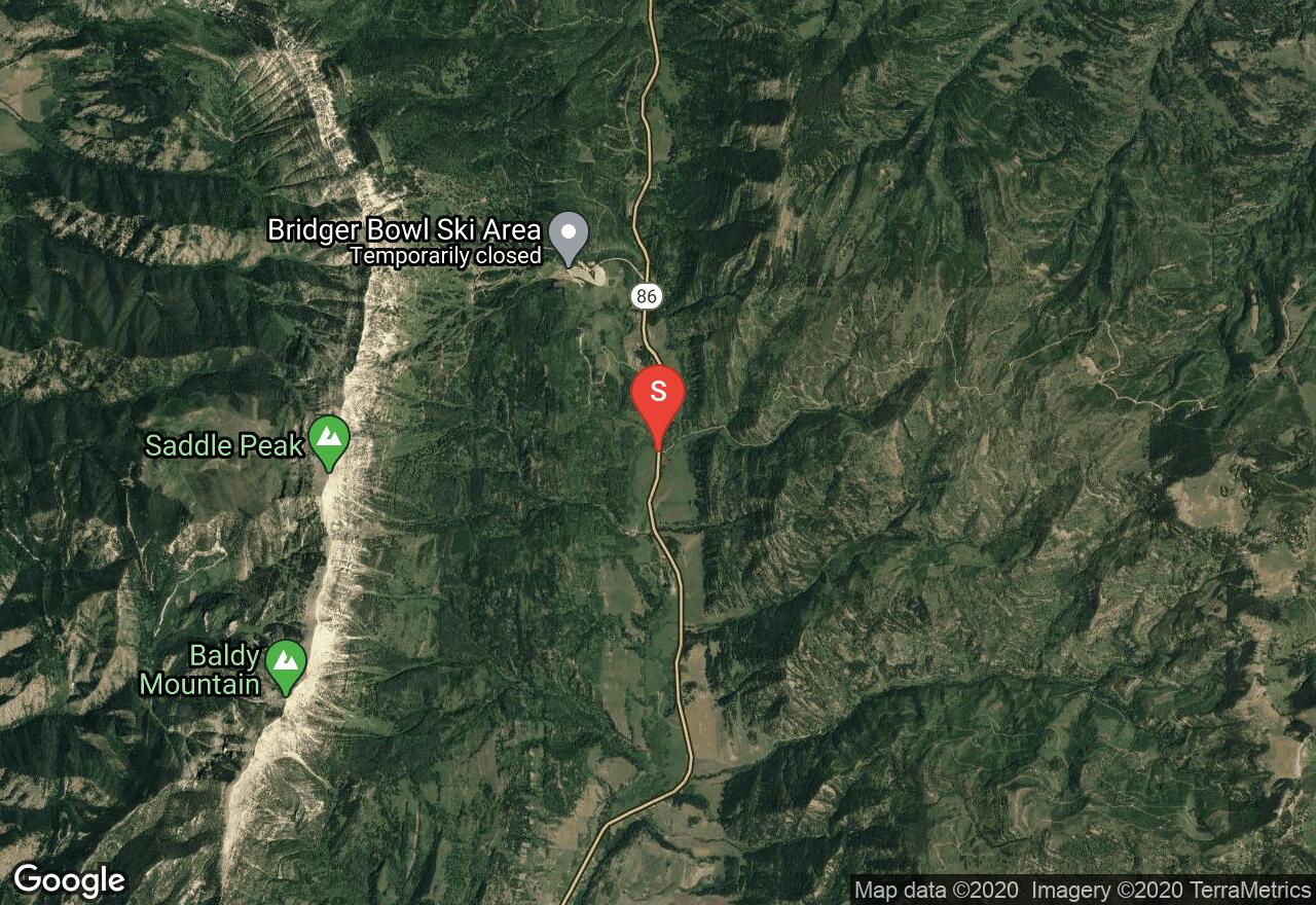
Montana, Gallatin County
06 :15 hrs
22.8 mi
681.6759 ft
Expert
This is a good cross country ride with climbs and descents on good trail, mostly single-track. The trail is mapped as a one way requiring a shuttle, but both the starting and finish trail heads are just off of Bridger Canyon Dr. and it is possible to ride it as a loop if you add the eight miles of highway riding. Though it is well marked and well traveled, pay attention to your route as the trail crosses logging roads and other junctions and with a little care you should have no trouble.
Montana, Gallatin County
02 :45 hrs
5.9 mi
592.14233 ft
Expert
Park at the gate on the jeep road just off of Bridger Canyon Dr. The ride begins on the jeep road but quickly joins with the single-track that makes up the majority of the trail. Climb 2,000 vertical feet through forest and meadow to Fairy Lake. Take a break at the lake or turn around and begin your descent. If you wish to avoid the climb set up a shuttle and start at Fairy Lake.
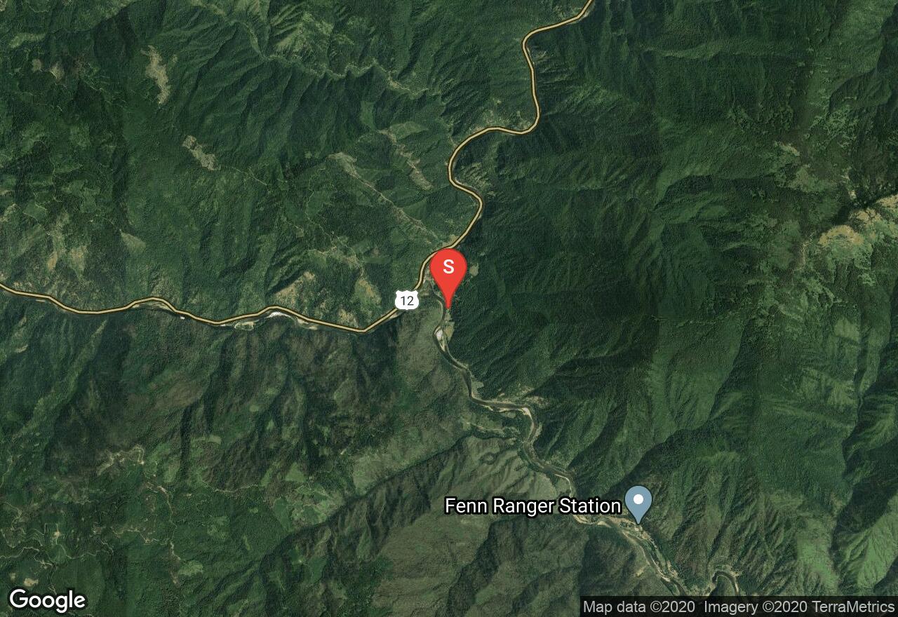
Idaho, Idaho County
07 :18 hrs
15.8 mi
1615.439 ft
Hard
The ride should be planned by those who are physically capable to climb the ridge. Coolwater Mountain is the western most highest point of the divide, offering spectacular views of the Selway-Bitterroot Wilderness and Lochsa basins. Be sure to take plenty of water, food, and a jacket. There are a couple of cool water springs before the lookout, if you want to fill up there. If you plan on camping, a wilderness permit can be obtained from a Forest Service facility or a registration box..
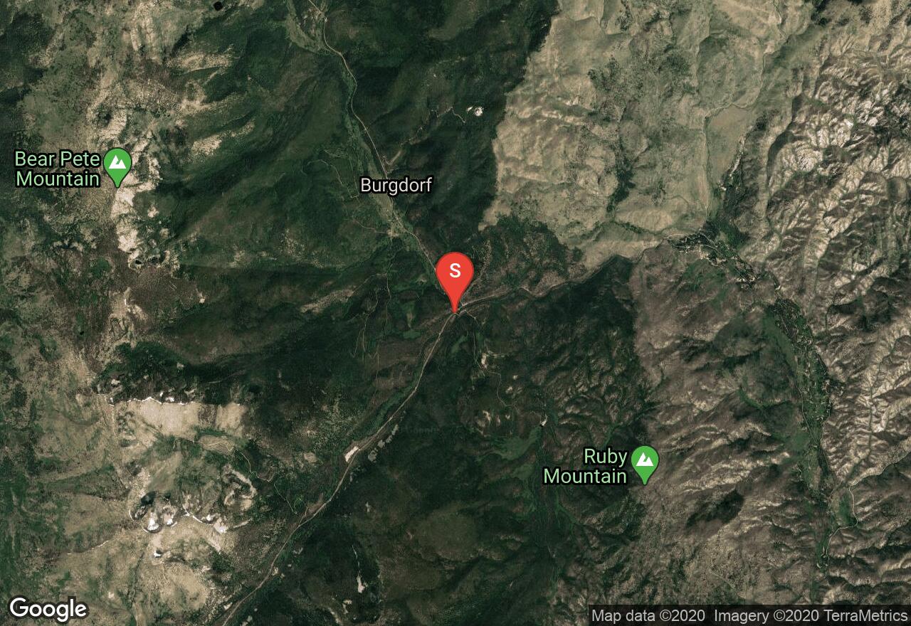
Idaho, Idaho County
06 :11 hrs
22.1 mi
246.64026 ft
Hard
The ride traces through the Ruby Meadows, an amazing setting of tall-grass with colorful wildflowers. It then meets with the Willow Basket Creek before reaching Loon Lake, with a beautiful setting of of shady forest and cool waters. It then loops back along the Secesh River to Warren Wagon Road. Be well equipped with water, food, repellent, and supplies for the wonderful loop. If you plan on camping, a wilderness permit can be obtained from a Forest Service facility or a registration box.
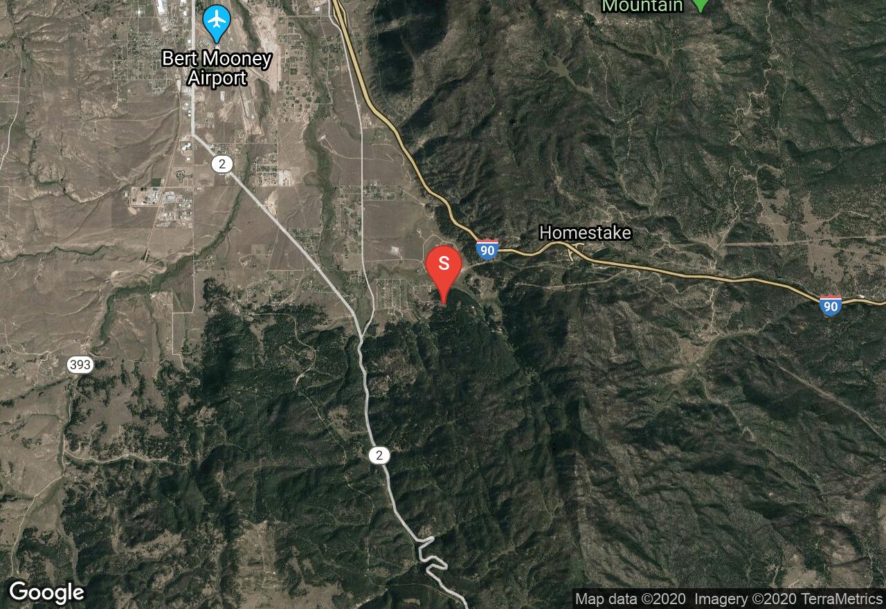
Montana, Butte-Silver Bow (balance)
02 :41 hrs
5.6 mi
310.05408 ft
Hard
The trail to Beaver Ponds winds up the drainage by several old beaver ponds. This trail is easy to follow and well maintained by the Highlands Cycling Club. There are many options to add and make this a loop route for bikers.
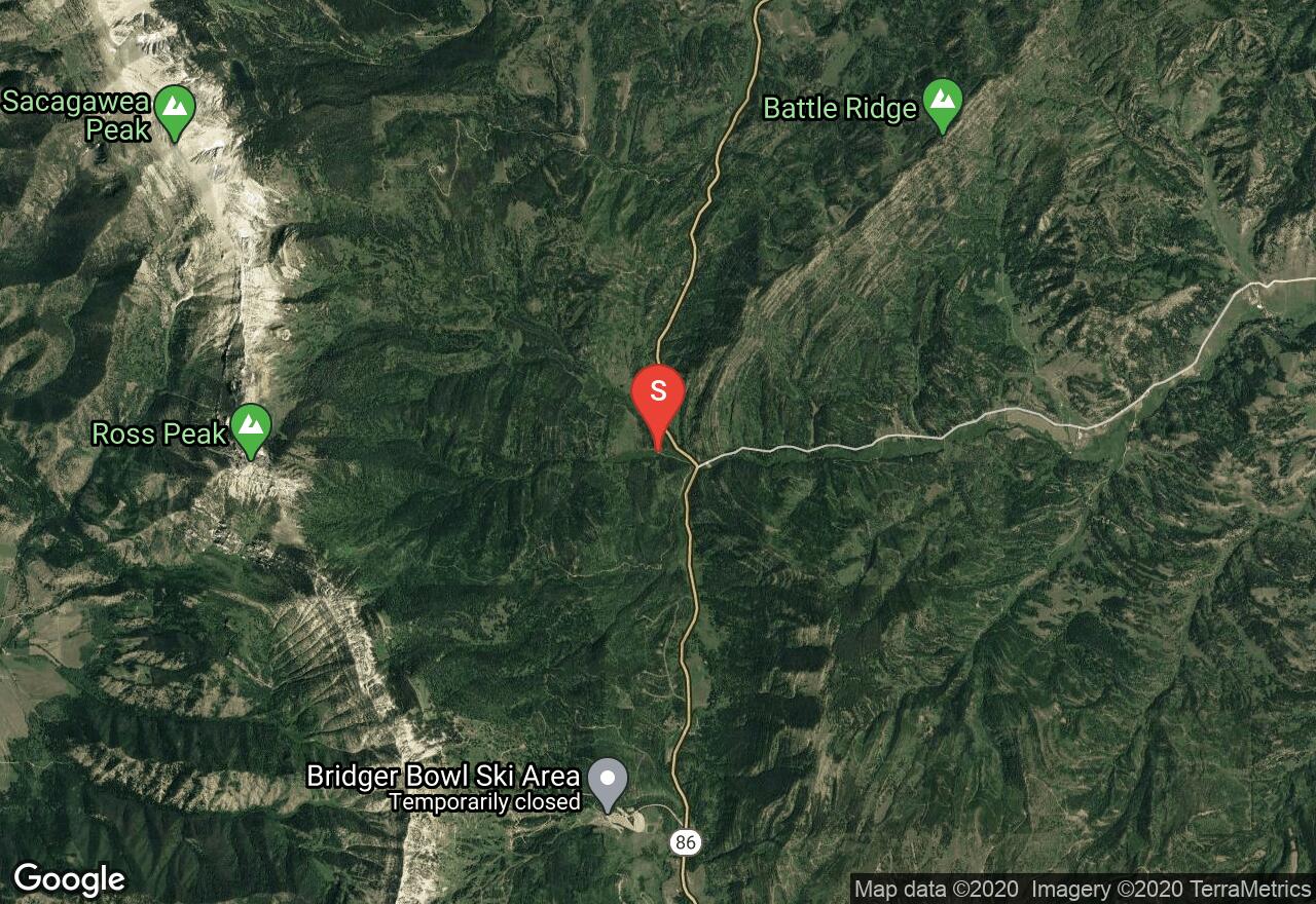
Montana, Gallatin County
02 :09 hrs
5.3 mi
682.2284 ft
Extreme
This is a popular ride for experienced riders. It has some good, hard climbs and gnarly rocky sections. Some do this with a shuttle to Fairy Lake. The views of Sacajawea Peak and surrounding mountains are excellent. Plan on starting early in the morning if you’re doing this on the weekend to beat the crowds. Parts of this trail is a cross country route in the winter.
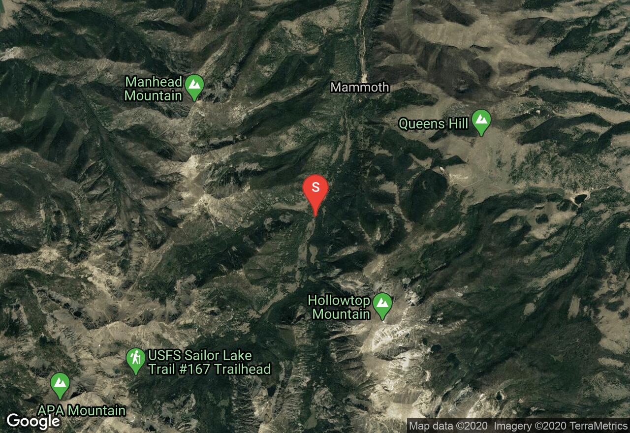
Montana, Madison County
06 :18 hrs
22.9 mi
1242.4781 ft
Extreme
The Curly Lake Highline trail is long and difficult and for those in top shape. It will be one of the best rides you will ever do. It has a mix of single track, dirt roads and some very technical sections with some gripping downhills. Once you reach Curly Lake which is a great place for lunch and a break, you are only about one third of the way. There are stunning views of the Tobacco Root Range and the surrounding valleys. Some opt for shuttling 4 miles of the dirt road (South Boulder Road) to cut out some mileage and elevation gain. It’s a good idea to bring a water filter to fill up at Curly Lake.
Montana, Gallatin County
04 :40 hrs
17.5 mi
431.4203 ft
Hard
Grassy Mountain is a shortened version of the popular Bangtail Divide Trail and offers great views of the Crazy Mountains. The ride starts climbing on Olson Creek Road, and then turns into a singletrack (3 to 4 feet wide). The ride back is an exciting descent with twists, turns and no big hazards to worry about.
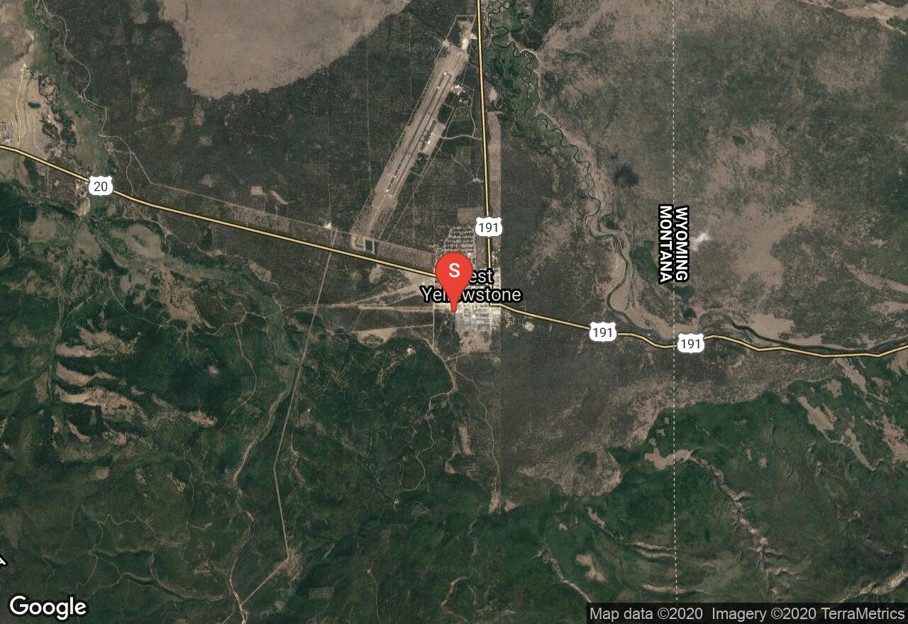
Montana, West Yellowstone
01 :27 hrs
5.1 mi
55.12805 ft
Easy
This fun and easy beginners ride starts from West Yellowstone and follows along grass covered singletrack through thick pine forests. This network of trails is a popular ski destination for cross country skiers during the winter. There are many options to add onto this ride.
See more adventures..
Explore complete list
Explore nearby adventures

