Best Mountaineering in Wyoming
Trying to find the best mountaineering in Wyoming? Bivy has great hiking, biking, paddling, climbing, skiing, riding and more, with hand-curated trail maps, as well as detailed driving directions.
Wyoming, Jackson Hole
18 :50 hrs
6 mi
2079.233 ft
III
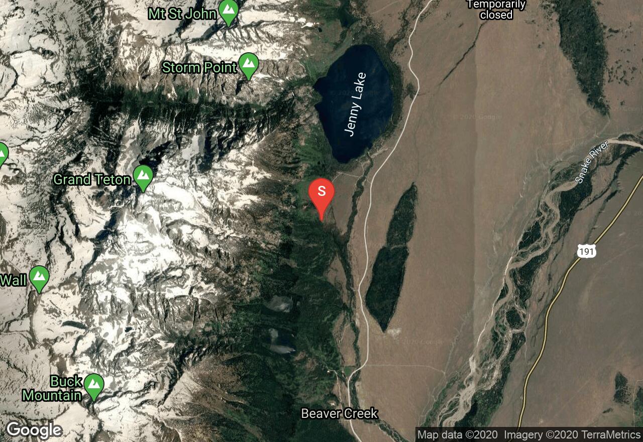
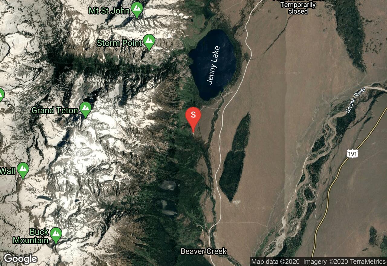
Climbing up the south side of the majestic Grand Teton, this route follows the Lower Exum and the Upper Exum on the Full Exum Route. The Lower Exum Ridge is steeper and more difficult than the upper and is a great course for climbers seeking good difficult rock on the Grand Teton. The first pitch of the Lower Exum ridge is a straightforward chimney. Chimney up for a while, tunnel through a chockstone and then you can bypass the second crux where the chimney closes up. The second pitch ascends some ramps and corners up to another large ledge. Pitch 3 ascends a nice jam crack to some black rock. With a 60 meter rope this easily links with pitch 4, which ascends an interesting 5.7 chimney. Pitch 4 chimney is in two parts, starting with the crux of the lower part to get into the chimney, after which it was straightforward and this leads into a wider chimney that is capped with a large chockstone. Next is the famous Black Face pitch that leads to Upper Exum Ridge, one of the most popular routes to the summit. With the combination of ready access, southern exposure and exciting climbing with excellent rock, the Upper Exum route will continue to be popular.
Wyoming, Jackson Hole
18 :54 hrs
6.7 mi
1950.6953 ft
II
Grand Teton is the highest mountain in Grand Teton National Park and a classic destination in American mountaineering. The Owen-Spalding route begins at the Lower Saddle between the Grand and Middle Teton peaks. Scrambling and sections of modest difficulty climbing lead to the Upper Saddle between The Enclosure to the west and the west wall of Grand Teton to the east. From the Upper Saddle ropes can be used to traverse exposed 2,000 ft cliffs along the west flank, but the section is generally considered non-technical. Features such as the "Belly Roll" and "The Crawl", where climbers usually straddle a rock fin for several yards, lead to the Double Chimney. The chimneys are the most complex section of the climb and may be icy. This section leads to a steep scramble to the summit. The descent may be down-climbed or rappeled using several fixed anchors.
Wyoming, Jackson Hole
17 :50 hrs
6.7 mi
1821.4985 ft
II
This hike begins at Lupine Meadows and follows the south fork of Garnet Canyon. Getting lost in the upper Tetons is not difficult. Avoid getting lost by climbing all the way to the saddle between the South and Middle Teton. Once at the saddle take the largest most obvious couloir heading to the summit. In the early season and early hours of the day crampons may be useful on the harder snow. Take a climbing helmet as this route is popular and subject to falling rock. Be careful and mindful of climbing parties above and below you. Climbing equipment may be necessary in snow and ice conditions.
Wyoming, Jackson Hole
11 :45 hrs
3.8 mi
1425.9878 ft
II
Located just below the Grand Teton, Disappointment Peak is named as such when climbers in 1925 were attempting to climb the Grand, but found an impasse on this peak where a 450 foot drop is encountered to the saddle between the two summits. This route is a great hike that can be done without any technical gear in the summer months. The route hikes through Lupine Meadows and then follows the Valley Trail for and the well-maintained Amphitheater Lake trail. Be aware to go around the left of both Surprise Lake and Amphitheater Lake and then just after Amphitheater, turn to ascend the ridge to the summit. Amazing views of the Tetons are seen along the hike, and from the summit, the view is just below the Grand and is remarkable. Equipment is necessary through snow and ice travel.

Wyoming, Jackson Hole
14 :39 hrs
5.7 mi
1540.8115 ft
II
Begin at the Garnet Canyon trailhead and go to the Platforms (if you are doing a two day climb then the Platforms are an optimal camp site, with a backcountry permit). From the Platforms head toward the col between Nez Perce and Cloudveil Dome, but don't go all the way to the col. Find the couloir and begin your summit approach from the couloir.Early season can be a preferable time for Nez Perce because you can walk over loose talus on snow and skip that arduous process. The Northwest Couloirs are the easiest approach to Nez Perce and doesn't require 5th class climbing skills; however, you will want to be familiar with snow travel, rope work, and rappelling. The view from Nez Perce is spectacular as you can see all of the Garnet Canyon summits and the valley summits to the south.
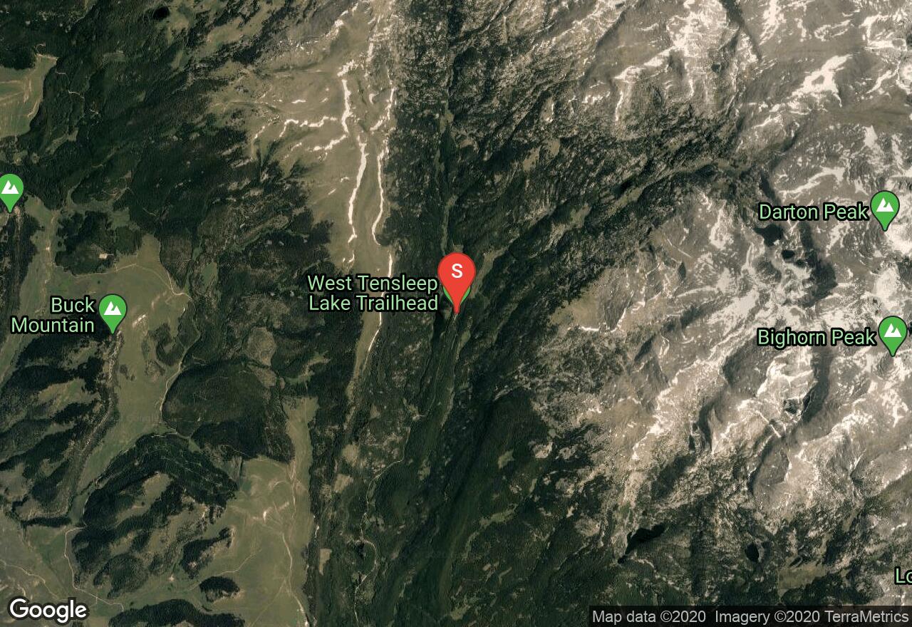
Wyoming, Big Horn County
21 :24 hrs
11.2 mi
1214.3093 ft
II
Cloud Peak is a Wyoming thirteener and the highpoint of the Big Horn Range. This route begins at West Tensleep Lake, through Bighorn National Forest and then follows along the southwest ridge of Cloud Peak to the summit. The route is challenging due to the extensive and mostly steep bouldering and rock scrambling that is required. The trail is not marked on most maps of the area nor via trail signs or blazes. Though this route along the SW Ridge is a long scramble, there are big wall climbs on both the East and SE faces.

Wyoming, Jackson Hole
14 :41 hrs
5.2 mi
1646.5903 ft
II
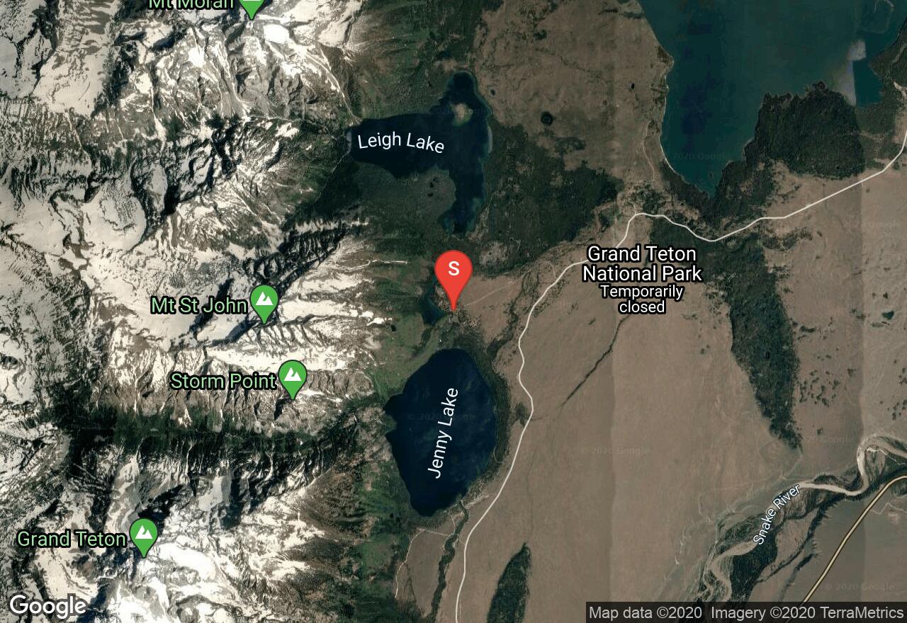
Teewinot (Shoshone for “pinnacles”) can be approached by many variations and route finding skills are essential for this climb. It is usually done in one arduous push (many will begin their hike shortly after midnight) but can be done as a two day hike with a back country permit. See the Jenny Lake Ranger Station for availability and recommended camp sites. Begin at Lupine Meadows and follow the trail to Delta Lake. After Delta Lake head toward the Teton Glacier and then once on the glacier look for the couloir to the north. Be careful that you choose the correct couloir and be prepared to scramble to reach the plateau/saddle below the summit. The apex of Teewinot is large enough for only one person at a time and offers spectacular views of the north face of The Grand Teton and Mt. Owen. Snow and ice conditions require ice axe and mountaineering skills.

Wyoming, Jackson Hole
18 :55 hrs
6 mi
2095.083 ft
II
On Petzoldt Ridge of the Grand Teton, the Direct Pezoldt route is a classic with memorable pitches and a lot of exposure. The crux of the climb is on the first pitch, but there is more exposure on the later pitches that include the famous "Window" and "Knife Edge". Once the route reaches the top of Petzoldt, there is a 50 foot rappel down to a ledge that will allow you to traverse to the Upper Exum Ridge and summit. A Teton rack up to 2" will cover you fine. You may need an ice axe in early-to-mid season. Another option from Petzoldt to the summit is via the Ford/Stettner Couloir.
Wyoming, Jackson Hole
19 :35 hrs
7.2 mi
1637.7026 ft
III
Located in the northwest corner of Wyoming in Grand Teton National Park, Mt Moran appears to stand majestically alone on the northern side of the Tetons. The most popular route to the summit is via this CMC Route and offers a wonderful high camp site, a 1500 foot scramble, then a 1000 foot ascent of steep slabs along a vertical black dike. There is also a technical pitch which must be led on the descent to gain the top of Drizzlepuss on the way back to the CMC camp. This pitch is 5.5 and is the most exposed section of the entire route. The route is normally climbed in 3 days with the first day being the approach to the high camp, the second day is the round trip ascent to the summit and then the third day is the hike out. Due to the long duration and relative remoteness of this mountain, this route is considered the most difficult standard route in the Tetons. The CMC name is from the Chicago Mountaineering Club whose members made the first ascent of the route on June 25, 1941. The first ski descent of the CMC route on Mt. Moran was on May 16, 2002.
Wyoming, Jackson Hole
10 :54 hrs
2.2 mi
1625.4795 ft
II
From Lupine Meadows head west (the main trail head for Amphitheater Lake and The Grand Teton is at the south end of the parking lot) on the most direct route toward Teewinot. The trail is not well maintained and route finding skills are essential on this hike. Ice axes will be utilized in early season (June and July). From the apex of Teewinot you will have spectacular views of The Grand Teton's north face and Mt. Owen. This climb is usually done in one day.
See more adventures..
Explore complete list
Explore nearby adventures

