Best Snowshoeing in Washington
Trying to find the best snowshoeing in Washington? Bivy has great hiking, biking, paddling, climbing, skiing, riding and more, with hand-curated trail maps, as well as detailed driving directions.
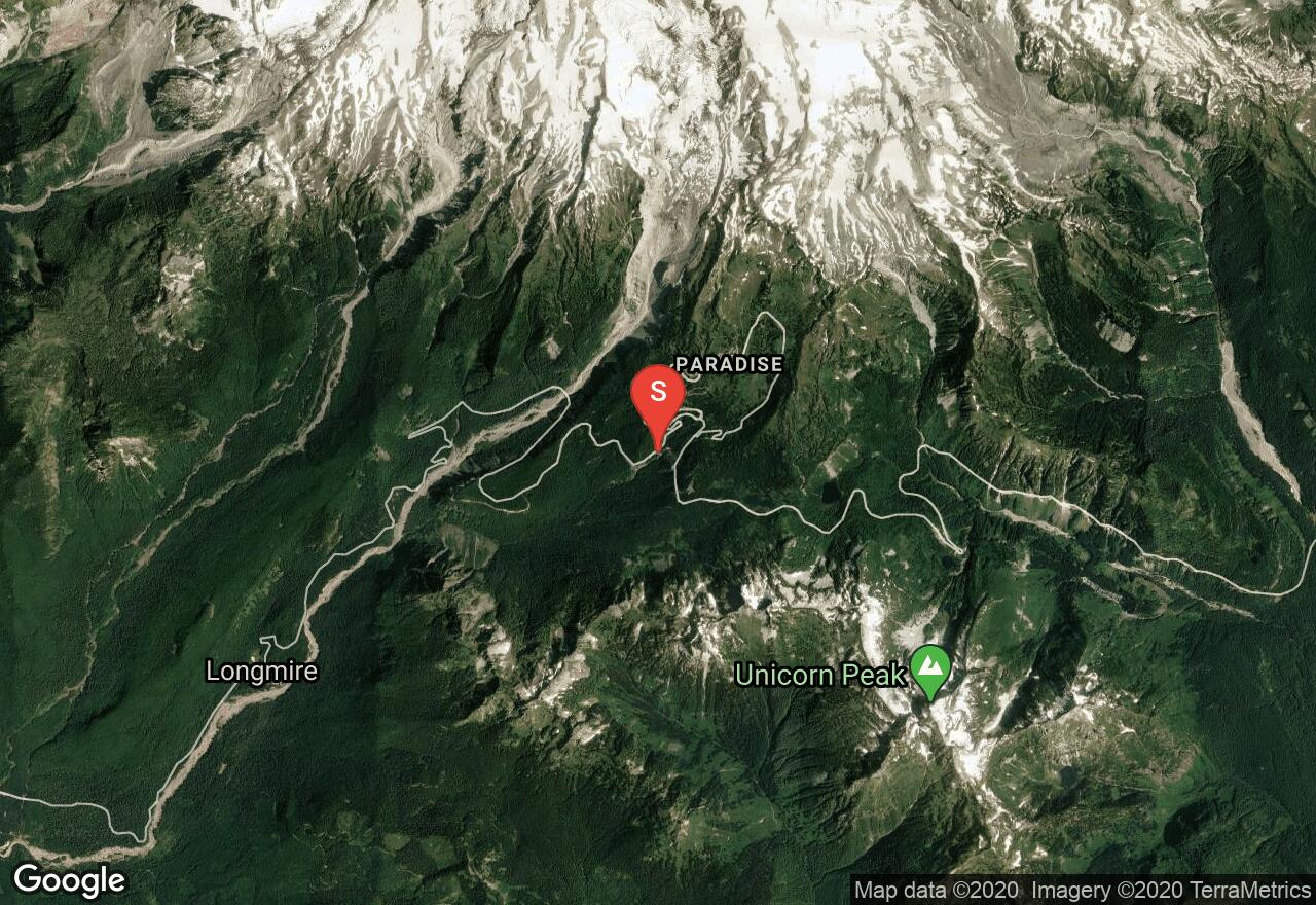
Washington, Lewis County
05 :09 hrs
2.7 mi
432.74133 ft
Hard
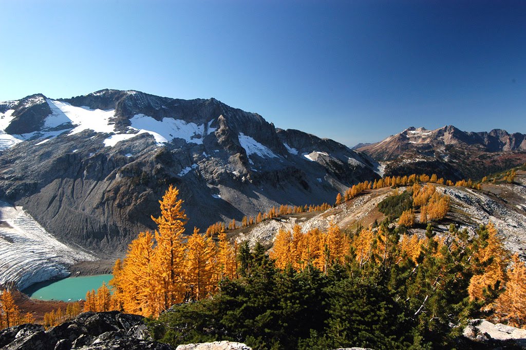
The winter route to Pinnacle Saddle starts at the plowed parking area for Narada Falls and climbs up the Wonderland Trail to Reflection Lakes before resuming the summer route, which may be slightly different in the winter, bearing in mind that it's often easier to follow established snowshoe tracks than trying to stick to the marked trail. In particular, the tracks sometimes lead to a saddle to the east of Pinnacle Peak instead of to its west, because that eastern area is popular with backcountry skiers. This adventure is best on a clear day so that the stunning views of Mt Rainier and the distant Goat Rocks, Mt Adams, and Mt St Helens are visible.
Washington, Kittitas County
06 :08 hrs
9.1 mi
556.3894 ft
Moderate
Easy snowshoe up to three alpine lakes.
Washington, King County
07 :51 hrs
5 mi
623.8711 ft
Hard
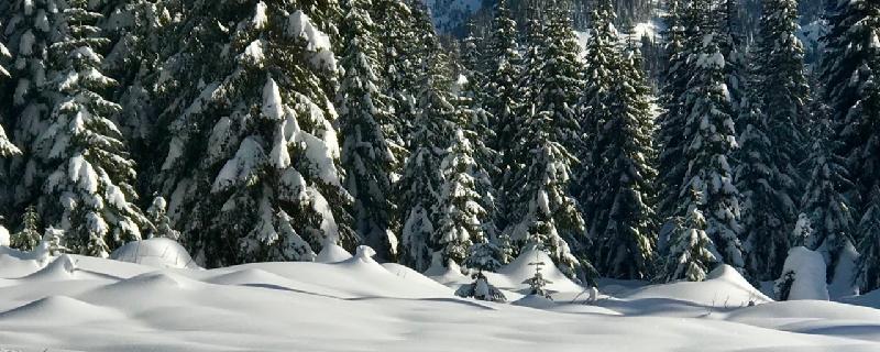
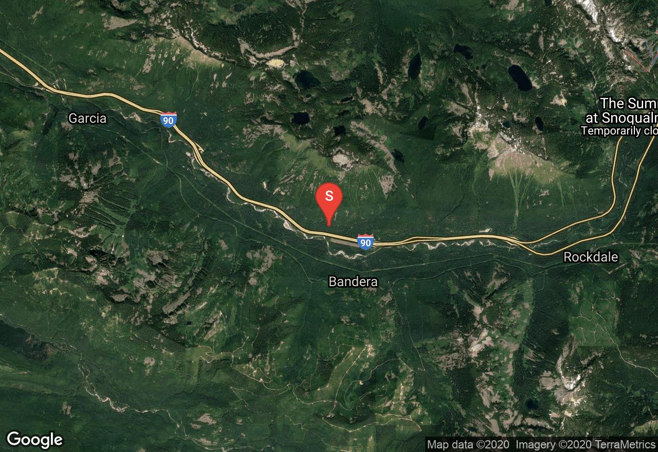
This snowshoe route gives a taste of wilderness, which is not often readily accessible in winter. The route is the same as in summer, except that Forest Road 9030 is not plowed, so this adds another 2.5 miles to the trip (the road portion is skiable.) The road and trail are relatively wide and have a gentle grade and avalanche danger is low, except for the area around Talapus Lake. Views from Talapus Lake of Bandera Mtn and its talus slopes are quite nice (when it's not snowing, of course.) It's always a good idea to assume that the lake ice is not safe to travel on. If FR 9031 is not plowed, park at the plow turn-around near the exit ramp.
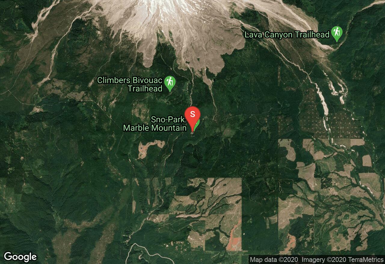
Washington, Skamania County
02 :56 hrs
2.3 mi
141.48212 ft
Moderate
This route to June Lake follows the summer route except that it starts lower, at the Marble Mtn Sno-Park. The area is frequented by snowmobiles, but the trail is used only for snowshoeing and cross-country skiing. There is a great view of Mt St Helens just before the lake, and a nice waterfall on the far side of the lake. A Sno-Park permit is required to park at the trailhead.
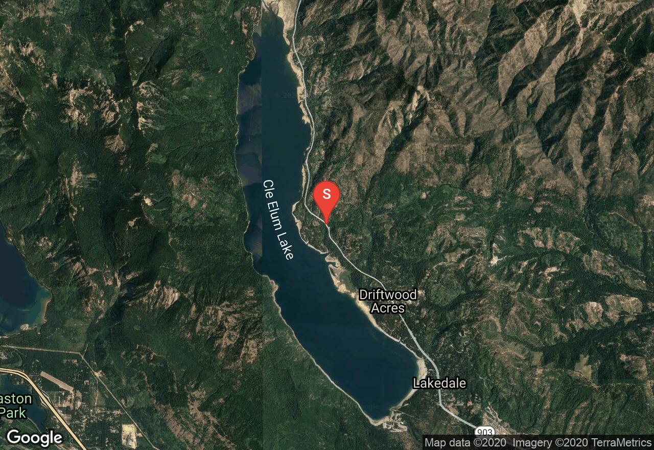
Washington, Kittitas County
13 :59 hrs
7 mi
1013.9154 ft
Expert
Most of the climbing in this route is in the first 3.3 miles, which follow the same path as the Hex Mtn winter route. From the ridge top, the trail to Sasse Mtn goes left and drops to a col, but remains high o the ridge for the remainder of the way to the summit. The trail is mostly under forest cover, but there are sections of open terrain that afford good views of the surrounding mountains and Cle Elum Lake. The trail swings east then resumes its northward march along the ridge to the round summit, where the deep snow buries most of the trees that would otherwise prevent a 360 degree view.

Washington, Kittitas County
07 :24 hrs
3.6 mi
799.01404 ft
Hard
Hex Mtn offers sweeping views of the Wenatchee Mountains, Cascades, and Cle Elum Lake directly below it. Though there is a summer trail, snowshoe ascents are more popular because there is good access, dry snow, and low avalanche hazard. From the plowed-out parking area, it is necessary to walk along the highway for a few hundred feet before coming to an unplowed logging road on the right. Stay on the main road past numerous junctions, coming to the start of the summer trail at 1.7 miles. Barring one clear-cut zone with notoriously high winds, the rest of the way to just beneath the summit is in evergreen forest. The trail pops out into an open meadow and the summit is just ahead. Watch for cornices near the summit area.
Washington, Kittitas County
05 :31 hrs
2.9 mi
547.18616 ft
Hard
This route involves some route-finding in the snowy woods, but is not terribly strenuous and leads to a small mountain with excellent views of the Stuart Range and Mt Rainier. Beginning at the Blewett Pass Sno-Park, follow the wide road for a quarter of a mile until a ski/snowshoe trail heads left. This trail follows the road for about a mile until veering left up the north slope of Diamond Head and crossing into a valley on its east side. From the top of a broad saddle at about 5,500 feet, follow the ridgeline to the summit of Diamond Head. You may have to scout around a bit for a good viewpoint. On a clear day, Mt Rainier is visible in the distance, as well as the jagged spire of Mt Stuart. A Sno-Park permit is required to park at the trailhead.
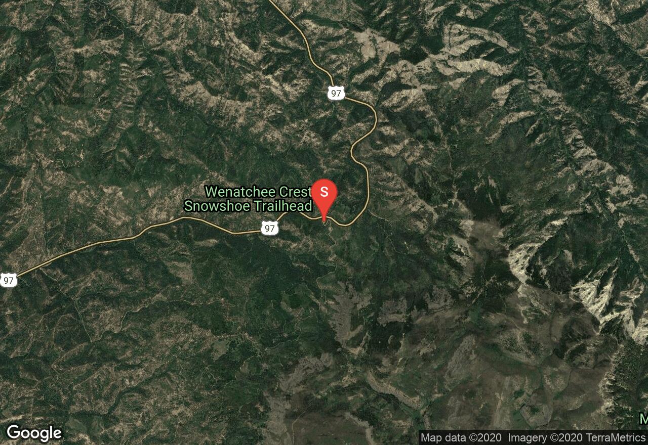
Washington, Chelan County
03 :08 hrs
1.3 mi
400.92114 ft
Hard
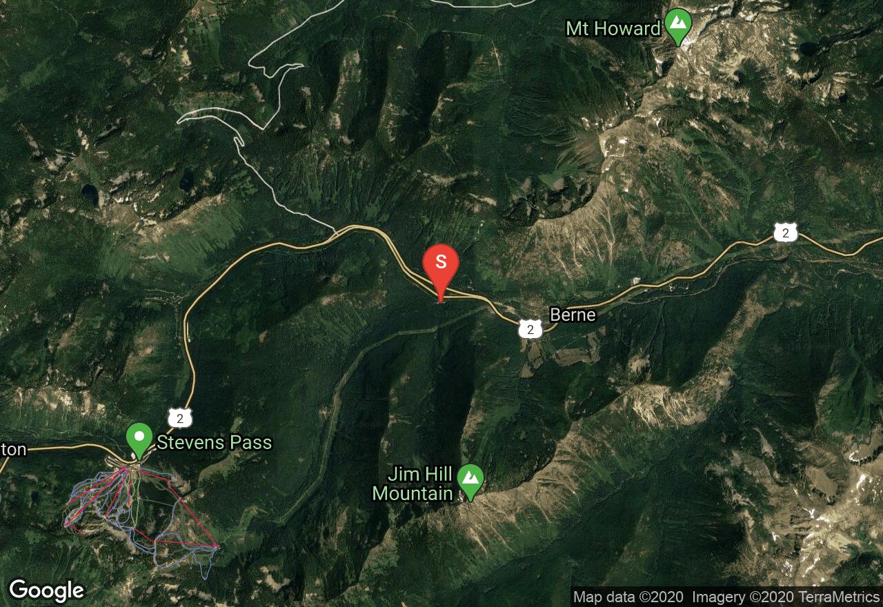
The route to Skyline Lake is short, steep, and multi-use, meaning that there will likely be snowmobiles and backcountry skiers along the way. The first part of the ascent is up a steep, fairly open slope. Stick to the west (left) side to avoid avalanche hazard and fast skiers. The lake sits in a tiny bowl with good views to the south over the Stevens Pass ski area and the Alpine Lakes Wilderness. The lake is generally frozen solid by December, but there is always the possibility of thin spots. A good option is to head west a short distance to a small peak for 360 degree views spanning from Glacier Peak to Mt Rainier (on a clear day). Watch for tree and rock wells here.
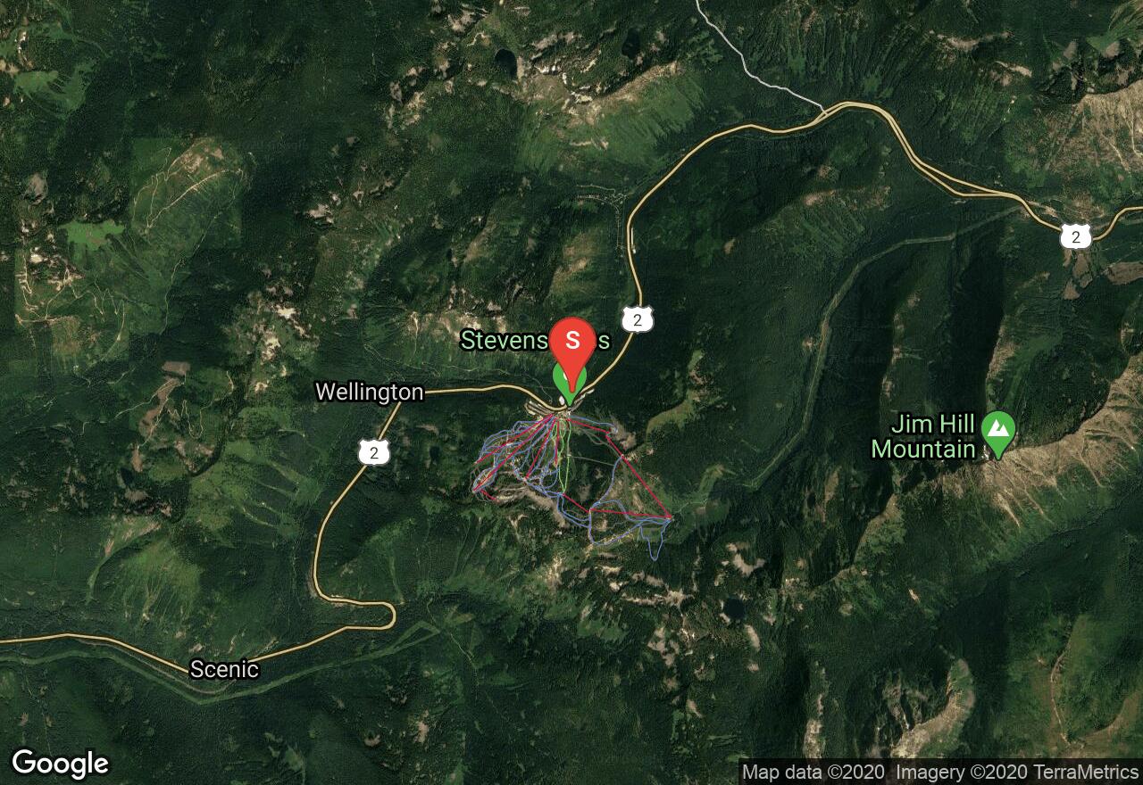
Washington, Chelan County
03 :05 hrs
1.5 mi
352.12366 ft
Moderate
This little lake is nestled in a basin heavily covered by old-growth forest and surrounded by the flanks of Jim Hill Mtn. This snowshoe adventure is good for newbies and winter campers, as you are never far from civilization, even if the quiet forest fools you into thinking so. The route requires that you cross and follow groomed cross-country skiing trails; stay off to the side as much as possible. A NW Forest Pass is required for parking.
Washington, Kittitas County
10 :26 hrs
5.9 mi
911.6327 ft
Expert
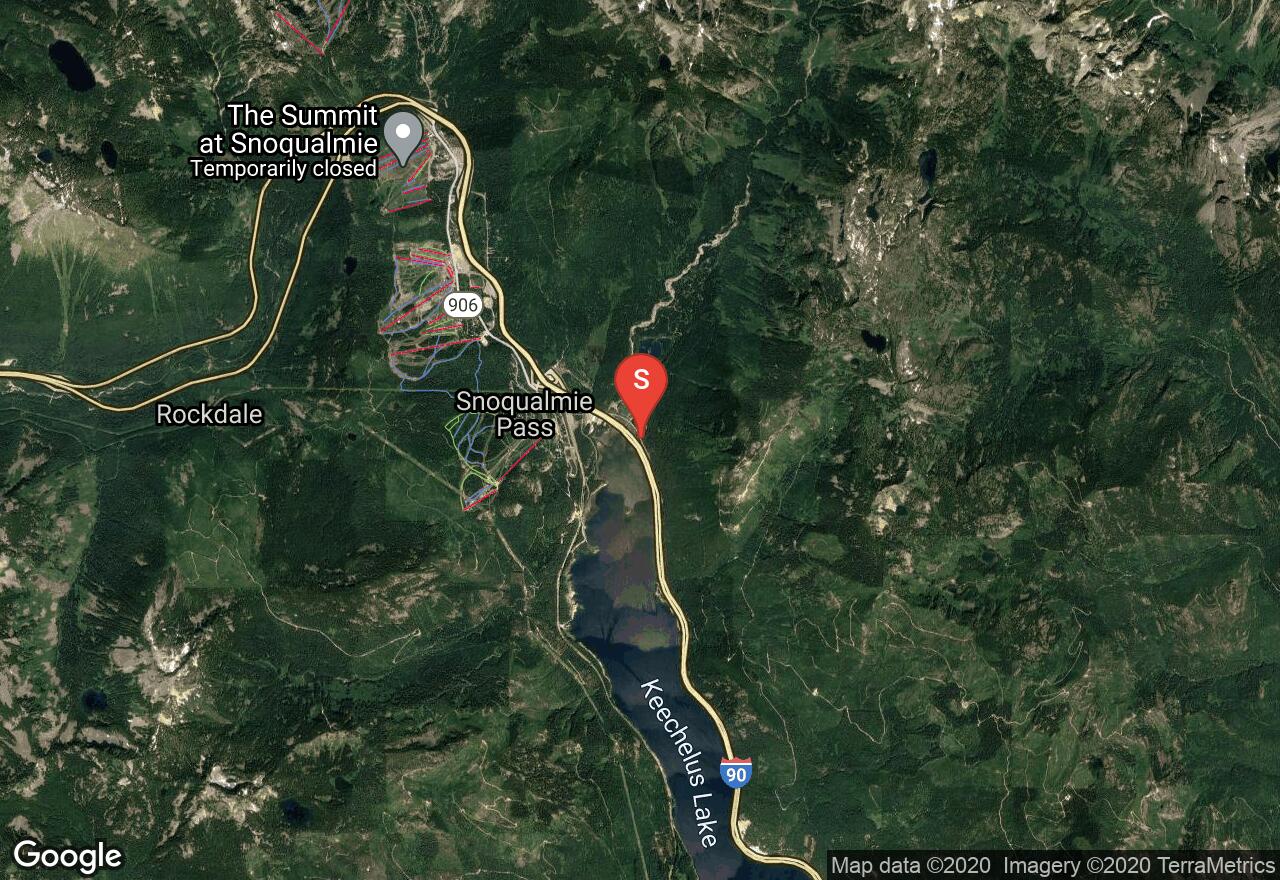
The first few miles of this route, especially the stretch along I-90, will likely be shared with snowmobiles and cross-country skiers, but once on the summer hiking trail, the other users will fade away and solitude is likely. On a clear day, the views from the clear-cut areas and the summit take in the entire Snoqualmie Pass region, as well as Mt Rainier and Mt Adams. Avalanche hazard is low, but can be elevated near the summit in a few spots. If avalanche conditions exist, stick to the forested part of the summit ridge and also avoid the trail to Margaret Lake. A Sno-Park permit may be required to park at the trailhead (where the plowed road ends.)
See more adventures..
Explore complete list
Explore nearby adventures

