Best Canyoneering in Washington
Trying to find the best canyoneering in Washington? Bivy has great hiking, biking, paddling, climbing, skiing, riding and more, with hand-curated trail maps, as well as detailed driving directions.
Oregon, Hood River County
02 :05 hrs
4.4 mi
126.10484 ft
3
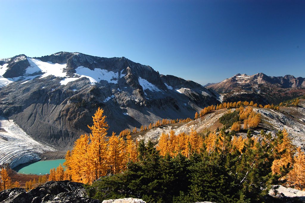
Said to be some of the best canyoneering along the Columbia Gorge, Eagle Creek can be as short or as long as you'd like. There is a popular trail, Eagle Creek Trail that follows the creek for many miles. You can take the trail and then bushwhack to the creek to begin the descent downstream along the canyon. This route hikes the trail to the 30 foot Punchbowl Falls and then returns back along the creek, rappelling down the falls in the creek. If you hike up farther, there are larger falls, so plan for rope and webbing accordingly. You can view details about each falls along the creek at http://en.wikipedia.org/wiki/Eagle_Creek_waterfalls
Washington, Yakima County
00 :40 hrs
1.2 mi
85.23578 ft
1
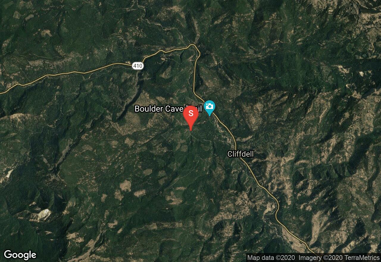
Devil's Creek is a popular attraction that flows through Boulder Cave for about 300 feet. The cave was formed when a sharply overhanging canyon wall fractured off from one side and bridged over the creek. This route enters the upper entrance to the cave and follows a trail. After exiting the lower end of the cave, you can either take the wooden steps back to the trail or continue down Devil’s Creek Canyon. The canyon is gorgeous with overhanging walls. It is an easy and popular hike with some wading in a small stream. When the canyon ends, follow the trail back to the parking lot. This route requires no special equipment, but a permit is required.
Oregon, Hood River County
00 :46 hrs
1.2 mi
139.10976 ft
4
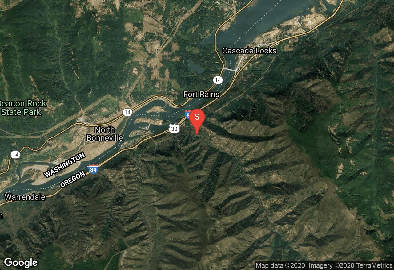
Along the Columbia River Gorge, Cabin Creek ends with a dramatic 200 foot drop into a deep slot. Most of the time, the flow is very small. To start the route, you will follow the Starvation Ridge Trail up a ridge along switchbacks until it makes a sharp left and crosses over Cabin Creek. At this point, the canyoneering down the creek begins with two twenty foot waterfalls. Depending on where you access the creek you may have to negotiate one or both of them. You soon arrive at the edge of the large Cabin Falls. Anchor from a small tree with 8 feet of webbing. The waterfall drops 90 feet into slot with a shallow pool about 40 feet long. It then drops about another 120 feet to the bottom. It is essential that you have a long enough rope if you do this in one rappel. A 60 meter dynamic rope will stretch enough to get you (just barely) to a ledge about 25 feet above the bottom of the falls. From the ledge you can climb down the rest. If you want to rappel the last 25 feet you will need a longer rope. There is a possibility that you could find or create an anchor in the slot and thus, break it up into two rappels.
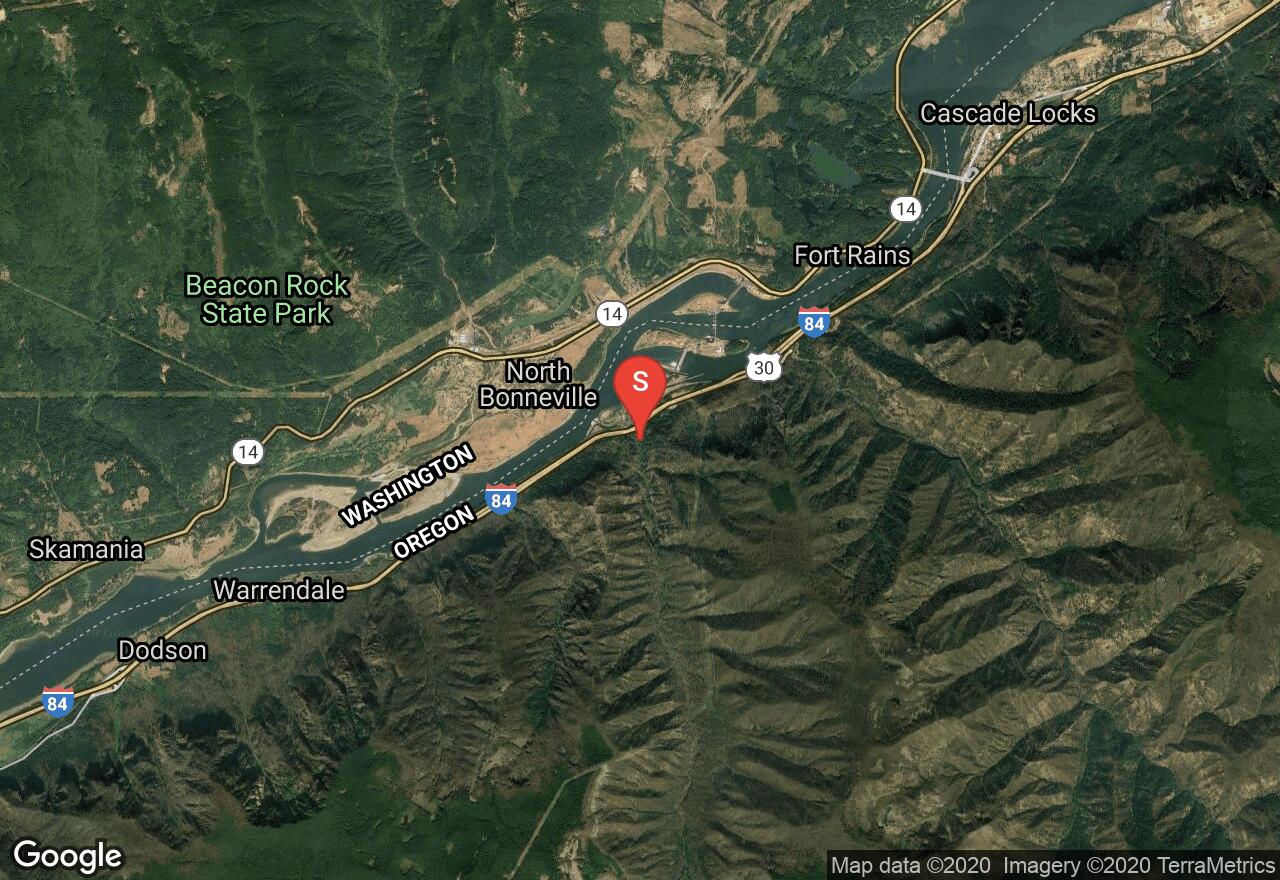
Oregon, Multnomah County
00 :37 hrs
1.4 mi
30.44609 ft
3
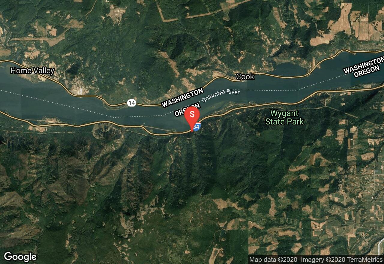
Located along the Columbia Gorge, Munra Creek is a small tributary of Tanner Creek. It has 10 waterfalls with about 7 rappels in the space of about a half mile. There is almost always a low water flow, thus there are swims along this route. The falls range from 10 - 150 feet along the creek. This route follows a trail along the creek until it crosses over. At this point, you will start descending down the gorgeous tree-filled canyon the creek has created.
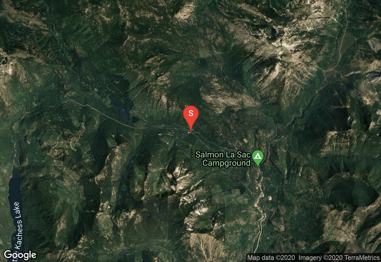
Washington, Kittitas County
02 :04 hrs
4.5 mi
127.32324 ft
2
A tributary of the Cle Elum River, Cooper River is a small non-technical canyon. From a forest road, hike down to the river and you will enter above a waterfall. To descend the falls you can scramble down ledges on the left and jump the last 10 feet into a pool. As you continue downstream, the canyon gradually deepens. There are plenty of swims and opportunities for short slides. No equipment besides a wetsuit is needed. After leaving the river, the route climbs through the trees back up to the forest road and follows it back to the car.
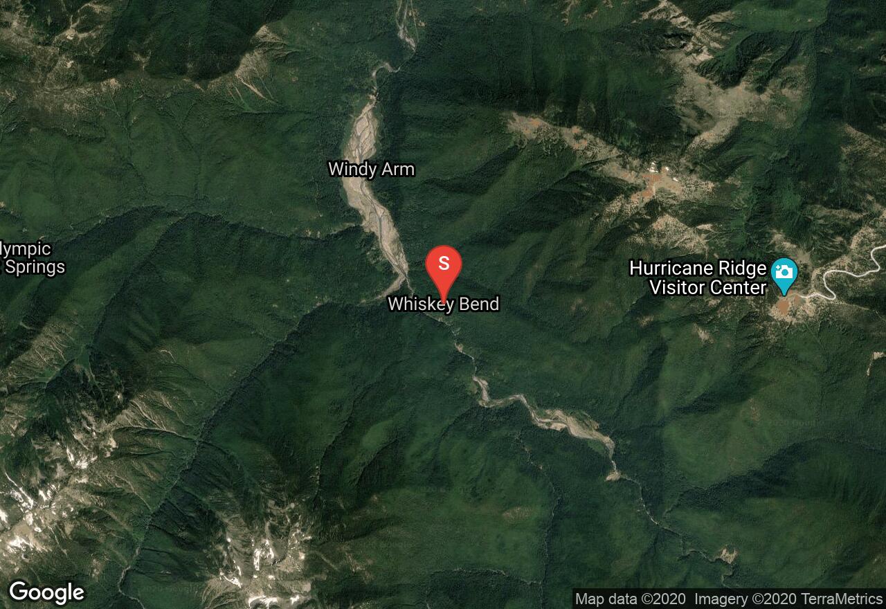
Washington, Port Angeles
06 :33 hrs
14.4 mi
327.30618 ft
3
Following the Pacific Northwest Trail from Whiskey Bend Road, this hike first goes above the Grand Canyon of the Elwha and then into the canyon. A good place to camp if needed is just before entering the canyon. The first part of the route downstream goes through some mini gorges. The Grand Canyon section is about two and a half miles long, after which the river enters Geyser Valley. There are good campsites in this valley as well and this is also where you can access the trail back to the trailhead. There are no waterfalls in this canyon and many forced swim areas.
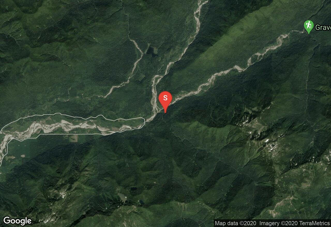
Washington, Mason County
01 :37 hrs
3.8 mi
51.533585 ft
1
Fools Canyon on the Middle Fork of the Statsop River is very narrow and located on Olympic Peninsula. When the water level is low, this is a nontechnical hike, scramble, and swim with a wetsuit recommended. The scenery in the canyon is remarkable with many fallen logs that span the walls above the river. There is also a small waterfall on with a small arch immediately downstream from the start.
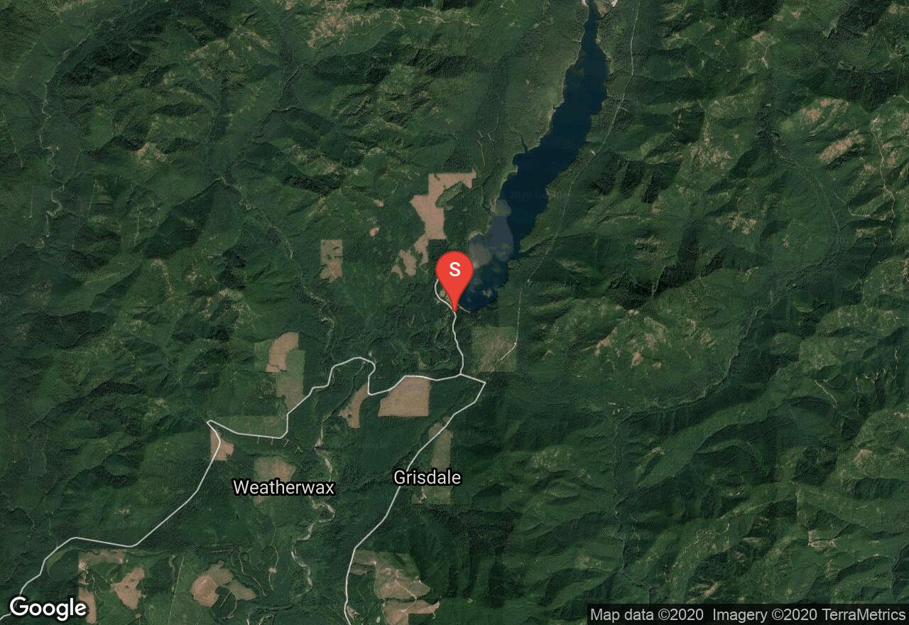
Washington, Jefferson County
02 :37 hrs
2.2 mi
210.67262 ft
2
A tributary of the Quinault River in the Olympic National Park, Howe Creek is a hike up the river canyon and then back down with a lot of scrambling and wading, some of it chest deep. The canyon has high steep walls covered with brush and trees that eventually close in and it gets very narrow. At points it is so narrow that it is necessary to swim between rock walls. There is a small waterfall, about ten feet high, formed where two enormous logs fell into the creek making a dam. This can be bypassed by climbing a rock pitch to the right. There is a tree stump above that provides a convenient anchor for a hand line or rappel. Recommended to do this route when water levels are at their lowest and current is not strong.
Washington, Grays Harbor County
00 :56 hrs
2.3 mi
34.22464 ft
1
Located on the Olympic peninsula, Big Creek is a tributary of the Wynoochee River and has a very narrow and beautiful canyon. Located between two bridges, this is a short non-technical hike with some swimming in the narrows. The first mile is in an open valley and then the canyoneering through the narrows is the rest of the hike. Wetsuit is recommended. This is a one-way route.
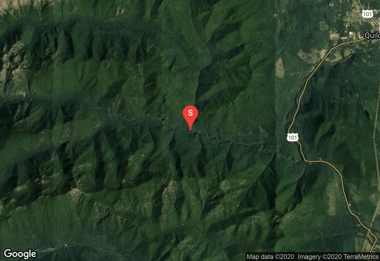
Washington, Jefferson County
02 :18 hrs
5.9 mi
325.79077 ft
3
On the eastern side of the Olympic Peninsula, the Big Quilcene River has created a gorge that is several miles long and up to 300 feet deep with a few small waterfalls. The first waterfall is the 20 foot Casserly's Cascade. The best way down is a 25 foot rappel to a shelf next to the water. A small tree, left of a memorial plaque, provides an anchor. Further downstream there are two other small waterfalls. The first occurs where a fallen log has dammed the river creating a waterfall about 10 feet high. You can loop a rope around a log on the left to provide a handline for downclimbing. The second occurs at a cascade at a narrow spot in the canyon. Traverse a sloping ledge on the right and jump about eight feet into a deep pool. Eventually, the river turns and begins to head north where the canyon widens with the walls less steep. Recommended to have about 60 feet of rope. This is a one-way route.
See more adventures..
Explore complete list
Explore nearby adventures

