Best Aid Climbing in Washington
Trying to find the best aid climbing in Washington? Bivy has great hiking, biking, paddling, climbing, skiing, riding and more, with hand-curated trail maps, as well as detailed driving directions.
Washington, Snohomish County
01 :13 hrs
1 mi
390.4053 ft
Various
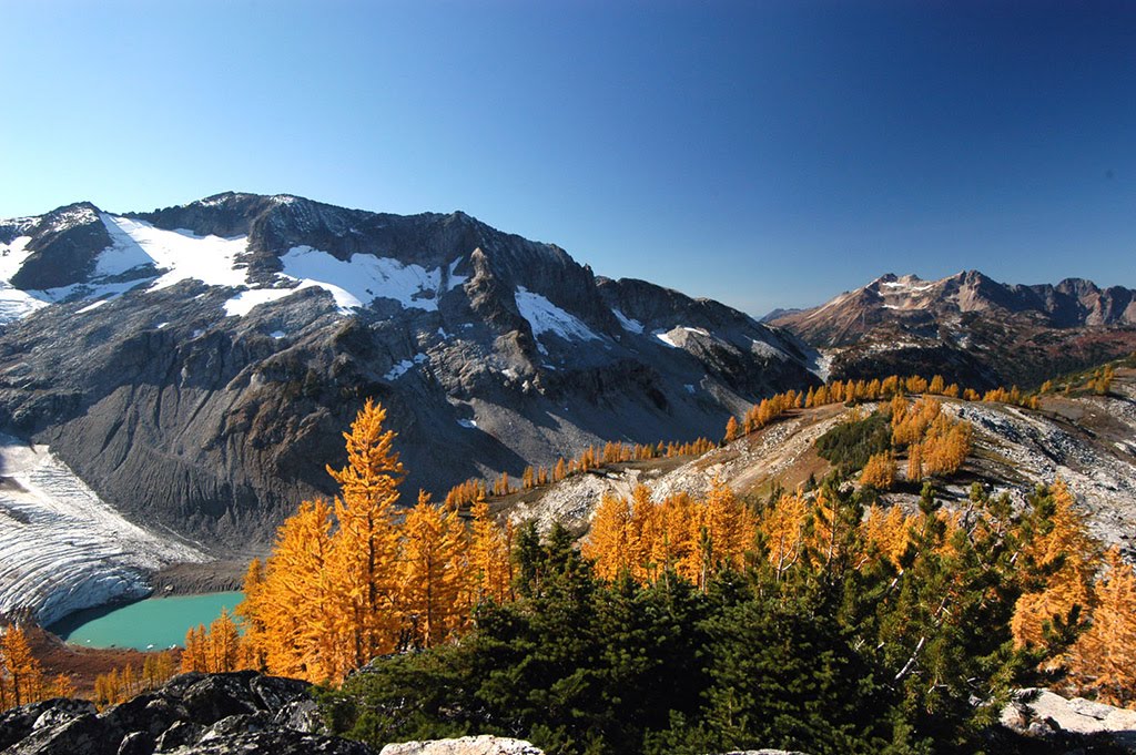
The Darrington area offers excellent quartz diorite rock, slabs, and solitude. Most of the routes involve friction climbing with crack systems, multiple pitches, a lot of vegetation, and long run-outs. To get there, you’ll take exit 208 from I-5 and follow Highway 530 east to Darrington. From there, you’ll head south on Mountain Loop Highway and go about 2.5 miles to Forest Road 2060 on the right hand side. Follow the forest road up the mountain for about 5.5 miles to a fork in the road. The right fork leads to Three O’ Clock Rock and Green Giant Buttress, while the left fork gets to Witch Doctor Wall and Blueberry Hill. Be very cautious of the streams that cross the forest road, because you will not be able to pass through if it’s been raining hard. The area has a very wet climate, so it can be difficult to find an acceptable time to climb. The East face routes are approached from the bridge over Clear Creek to where it cuts back to the right. Look for a trail heading up into the woods after about a hundred yards. The trail emerges onto a boulder field below Witch Doctor Wall. The crags are located within the Boulder River Wilderness Area, so power drills are prohibited. Pack in many quick draws, several small nuts, cams up to 3 inches, and ropes (50+ meters) for the rappels. There are some camping spots located along the forest roads, but it’s best to consider camping at Clear Creek Campground. A Discover Pass is required and it can be picked up at a licensed dealer, or you can purchase it online at http://www.discoverpass.wa.gov/.
Explore nearby adventures

