Best Road Biking in Tennessee
Trying to find the best road biking in Tennessee? Bivy has great hiking, biking, paddling, climbing, skiing, riding and more, with hand-curated trail maps, as well as detailed driving directions.
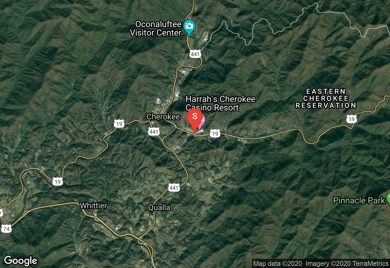
North Carolina, Jackson County
01 :52 hrs
9.6 mi
155.55756 ft
Moderate
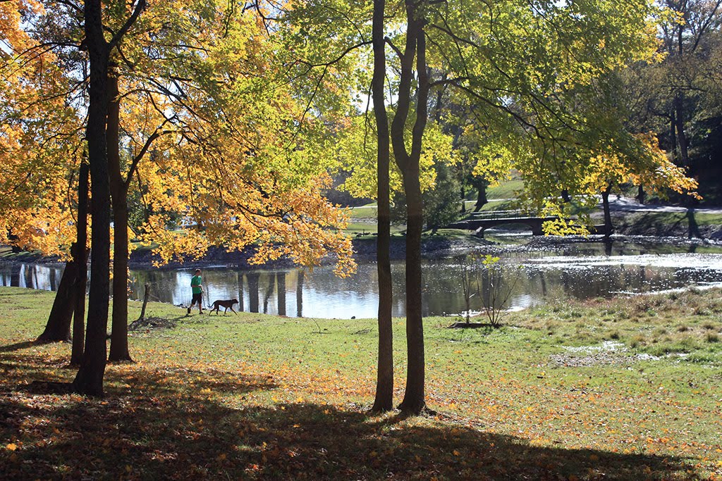
This ride begins in beautiful Cherokee and leads into Great Smoky Mountain National Park on an out-and-back route through a gorgeous valley. The ride is a climb alongside the Oconaluftee River on Highway 441. The return is a nice downhill and gives you an opportunity to enjoy the scenery back into town.
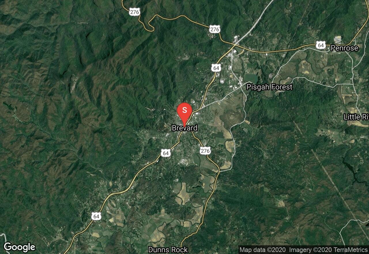
North Carolina, Brevard
04 :03 hrs
40.5 mi
100.5365 ft
Expert
Along most of this route is the beautiful French Broad River as it cuts through a scenic valley. The ride is not overly difficult and has great views of the mountains as it goes along pastures on country roads. The route leaves from Brevard and goes through Henderson and Transylvania counties along the river.
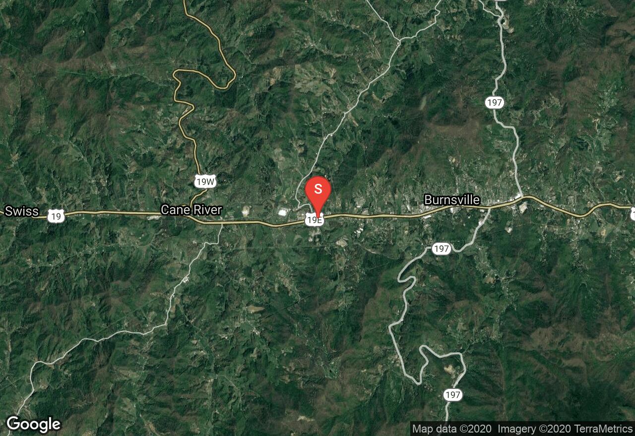
North Carolina, Yancey County
03 :44 hrs
37.4 mi
179.8667 ft
Hard
Right in the heart of the Blue Ridge, this ride is gorgeous and challenging through the river canyons of Jack's Creek and then Toe River in Yancey County. The route has very little traffic, making the sounds of the rivers and the wildlife a perfect soundtrack. The ride begins as it goes next to fields and then along Jack's Creek until it intersects with Toe River. For the remainder of the ride, the road cuts through the valley made by the river and next to railroad tracks for a section. This is a large loop ride with little to no services along the way.
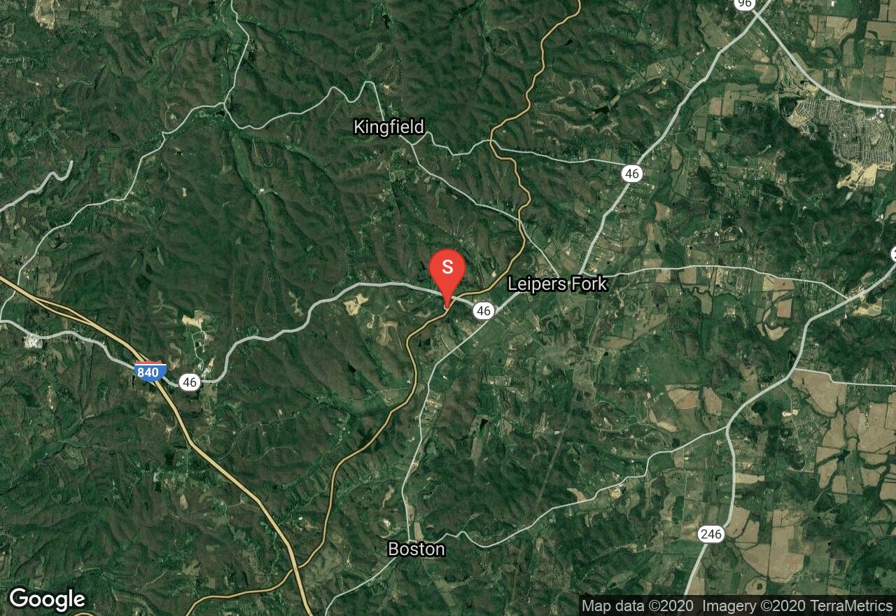
Tennessee, Williamson County
02 :36 hrs
13.4 mi
86.74826 ft
Hard
The Natchez Trace Parkway is a National Parkway in the southeastern United States that stretches 444-miles through Tennessee, Mississippi and Alabama. It is maintained by the National Park Service and is designated an All-American Road. Commercial traffic is prohibited and the speed limit is 50mph. This section begins near Leiper’s Fork at Hwy 46 and ends at Hwy 7 near Fly, Tennessee.
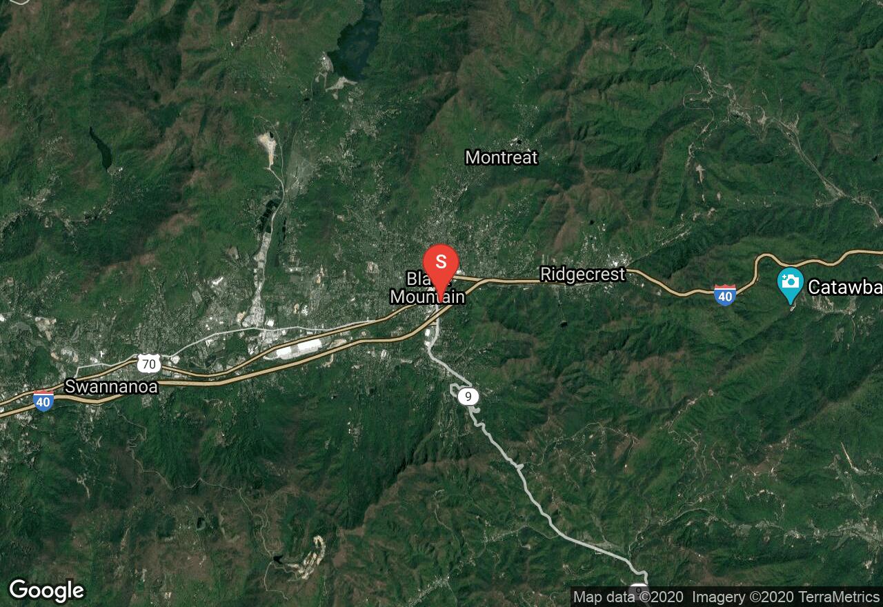
North Carolina, Black Mountain
01 :25 hrs
7.7 mi
309.4454 ft
Moderate
A gorgeous ride through Pisgah National Forest, this route follows the Old NC 10/Highway 70 route through the Royal Gorge. As the ride follows the old highway, the first section parallels I-40 and is still used by automobiles. When the old highway meets the Royal Gorge, it turns into what is now Point Lookout Trail where cars are no longer allowed. The trail is paved and cuts above the gorge for amazing views. The turnaround point for this route is at Old Fort Picnic Area. This is an out-and-back route that is mostly downhill there and thus a climb to return. You can easily start from the picnic area for a climb first and a downhill back.
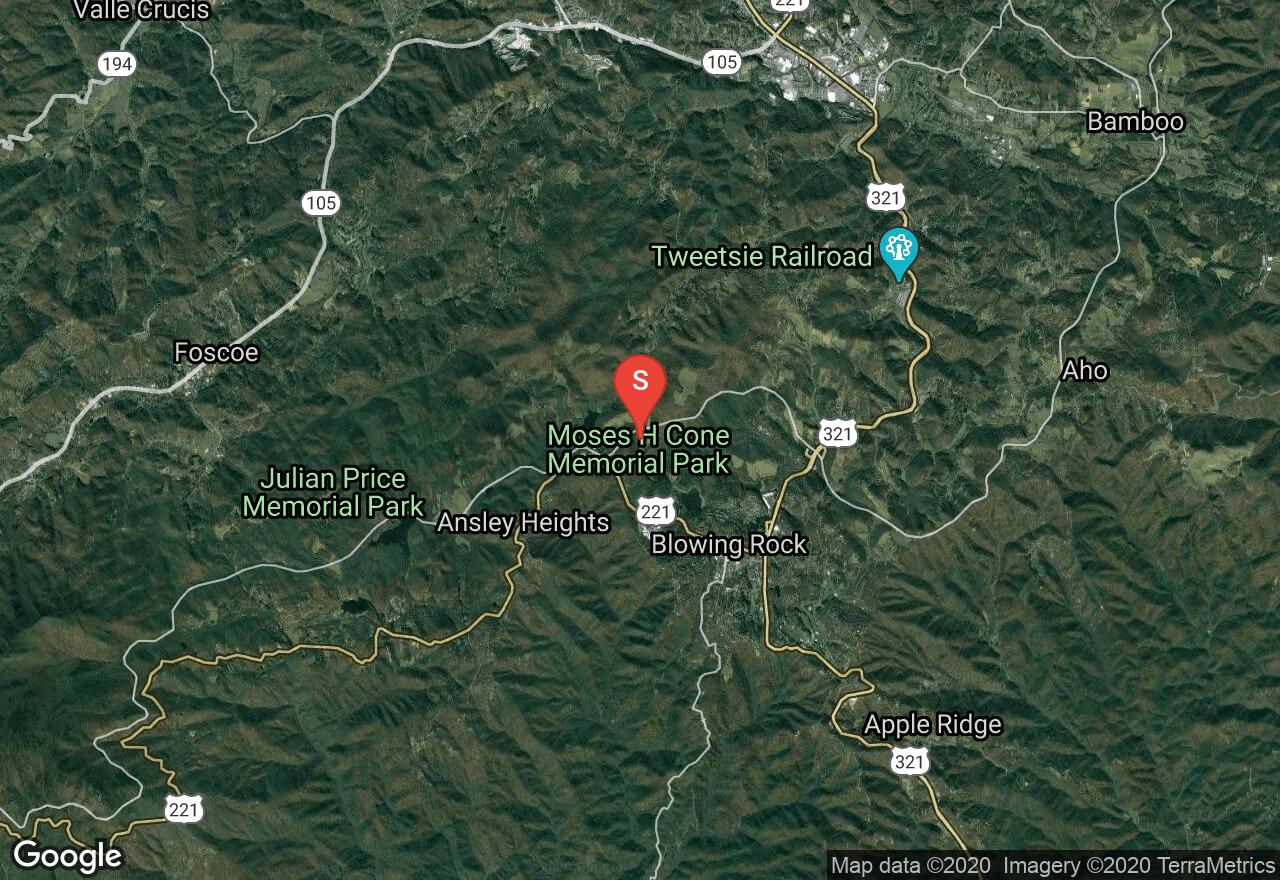
North Carolina, Watauga County
01 :32 hrs
15.3 mi
- ft
Moderate
This one-way ride along the Blue Ridge Parkway has spectacular views of the Blue Ridge Mountains. This ride is intense and recommended for experienced riders because of its steep climbs and fast descents. The route begins at Moses Cone Memorial Park where there is an immaculate country estate of Moses Cone, a prosperous textile entrepreneur, conservationist, and philanthropist of the Gilded Age. The ride takes you along gorgeous bridges, next to Price Lake, through a large meadows, thick forests, along Linn Cove Viaduct and ending at Flat Rock, above the city of Linville.
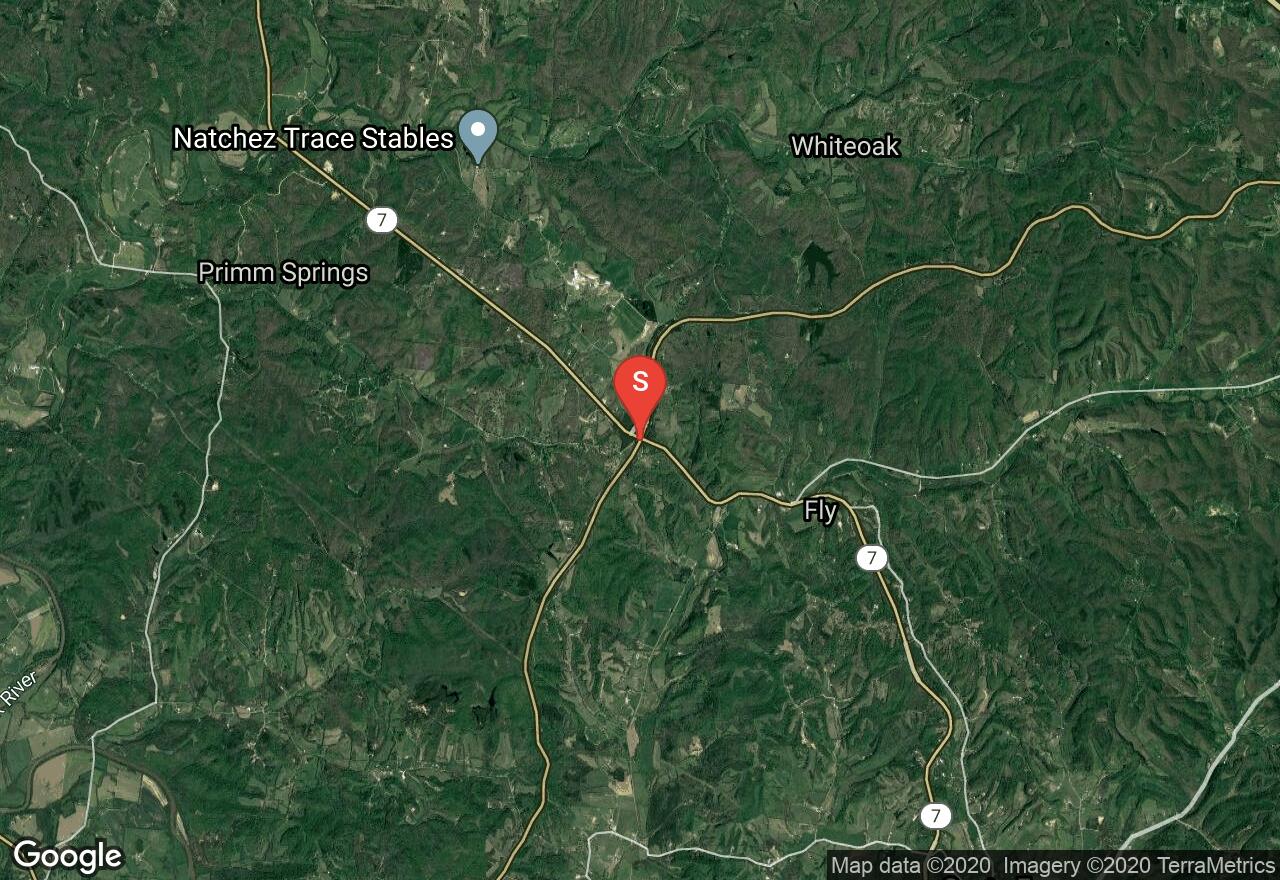
Tennessee, Maury County
04 :45 hrs
24.5 mi
131.54959 ft
Expert
The Natchez Trace Parkway is a National Parkway in the southeastern United States that stretches 444-miles through Tennessee, Mississippi and Alabama. It is maintained by the National Park Service and is designated an All-American Road. Commercial traffic is prohibited and the speed limit is 50mph. Beginning near Fly at Hwy 7, this route rides to US 412 near Hohenwald through an undeveloped wooded valley. The scenery is beautiful and fall trips offer outstanding colors.
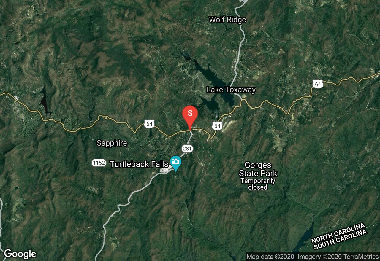
North Carolina, Jackson County
01 :37 hrs
8.8 mi
171.48016 ft
Moderate
This ride goes through a gorgeous mountainous area to the majestic, Whitewater Falls. The area is known for its many waterfalls and the ride goes by White Owl Falls and John's Jump before reaching the highest waterfall east of the Mississippi River. The waterfall cascades down tiers of large boulders as it drops 411 feet. This is an out and back ride along the gradual up and down ride.
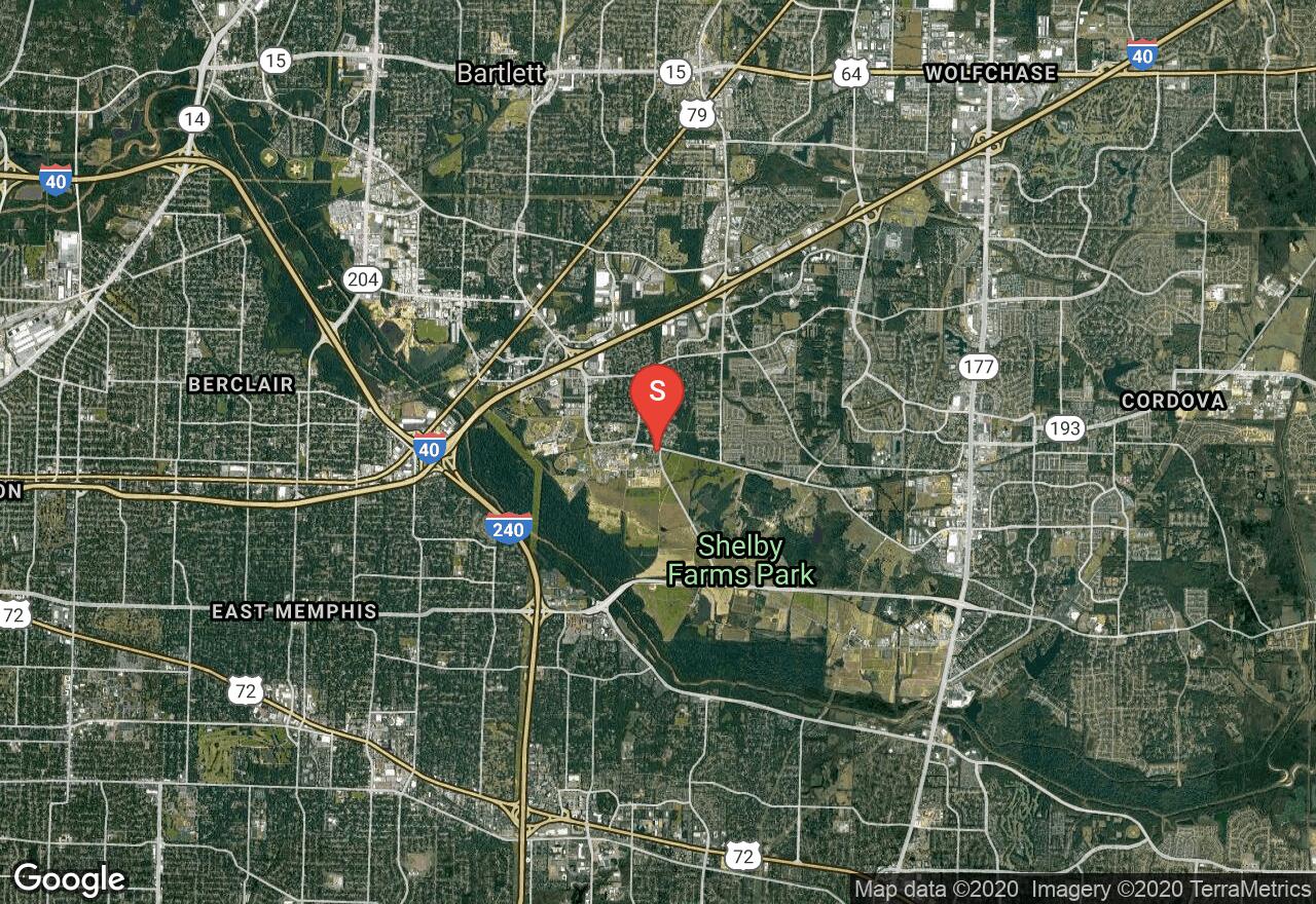
Tennessee, Memphis
01 :20 hrs
6.7 mi
13.503349 ft
Moderate
Shelby Farms Greenline is built upon the bed of a former CSX Railroad line, which was abandoned in 2001. It is paved, shady and offers pleasant scenery in a peaceful setting. Wildlife abounds and it is enjoyed by all ages.
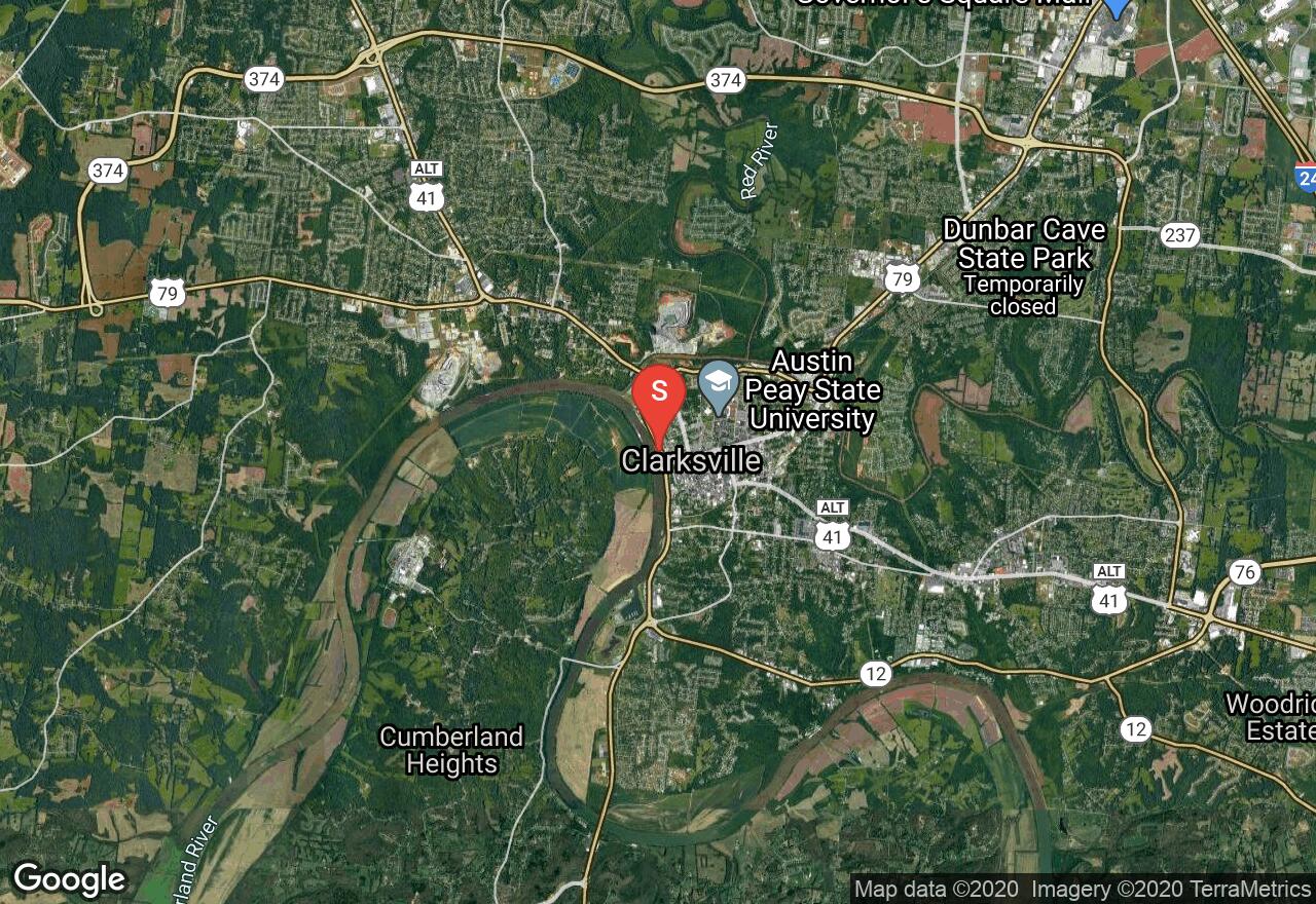
Tennessee, Clarksville
00 :17 hrs
2.9 mi
26.667366 ft
Easy
The Upland Trail is a rail-trail that travels over two former railroad trestles and overlooks Valleybrook Park. Although you don’t have access to the park it is still a fantastic viewpoint. At the northern end of the trail you will connect to the Cumberland Riverwalk, which travels closely along the Cumberland River. The trail surface is paved the entire way
See more adventures..
Explore complete list
Explore nearby adventures

