Best Waterways in Alabama
Trying to find the best waterways in Alabama? Bivy has great hiking, biking, paddling, climbing, skiing, riding and more, with hand-curated trail maps, as well as detailed driving directions.
Alabama, Vestavia Hills
00 :48 hrs
2.4 mi
67.36826 ft
I
Easy paddle up river for a little over a mile and then an easy float back. On the way up river there are a few portages up some very easy "rapids". On the way down you can float them all depending on the water level.
Alabama, Bibb County
01 :23 hrs
3 mi
55.65292 ft
I
Depending on water flow this is a great place to put in and take out in the same spot. The Cahaba is wide enough that shade is sparse so be prepared for the heat in summer. In may and June you can see lillies that are named after the river because they can only be found here. A short distance South of the launch there is a small beach and plenty of little swimming holes along the shoals. If the water is up, there is a great little rapid at the turn around of this track. You can portage past it on the left and come back through the rapid on your way back to the launch.
Alabama, Elmore County
03 :06 hrs
7.4 mi
31.403843 ft
III
The Coosa River is considered one of the best beginner whitewater rivers in the country. This section features three major sets of shoals: River Falls, Moccasin Gap and Pipeline. The most well-known and largest of the three is Moccasin Gap (Class III rapid). Fishing is also a favorite on the river.
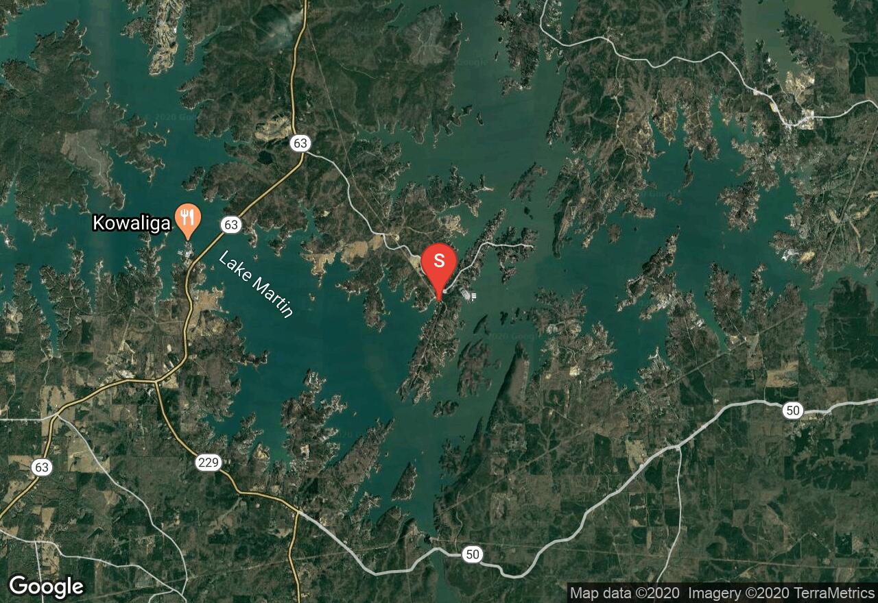
Alabama, Elmore County
03 :51 hrs
4.8 mi
7.11969 ft
SK I
Located on Lake Martin, Chimney Rock Island and Acapulco Rock Island are two of the most popular Islands to visit on the lake. To begin this trip to the Islands, start by using the boat ramp off Dixie Sailing Club Road. From here travel southwest along the shoreline before wrapping around the edge of the inlet heading east towards the islands. Enjoy exploring the many coves this area provides. Once reaching Acapulco Rock, there is a popular cliff jumps site that many people enjoy during the summer. Chimney Rock Island got its name from the rock that protrudes from the top of the island as Acapulco Rock Island received it’s name from resembling Acapulco Rock in Mexico. Return to the same boat ramp to end this trip.
Alabama, Geneva County
01 :27 hrs
3.6 mi
1.7984886 ft
SK I
As part of the Geneva State Park, this lake sits within a primarily longleaf pine timber forest. Begin your trip upon the lake from the boat ramp located off Forest Lake Road. From here enjoy this 100 acre lake that also provides great fishing. This area also offers great birding opportunities. A daily use fee of $2 is required. Signs are posted around the lake to caution you of Alligators that may be present.
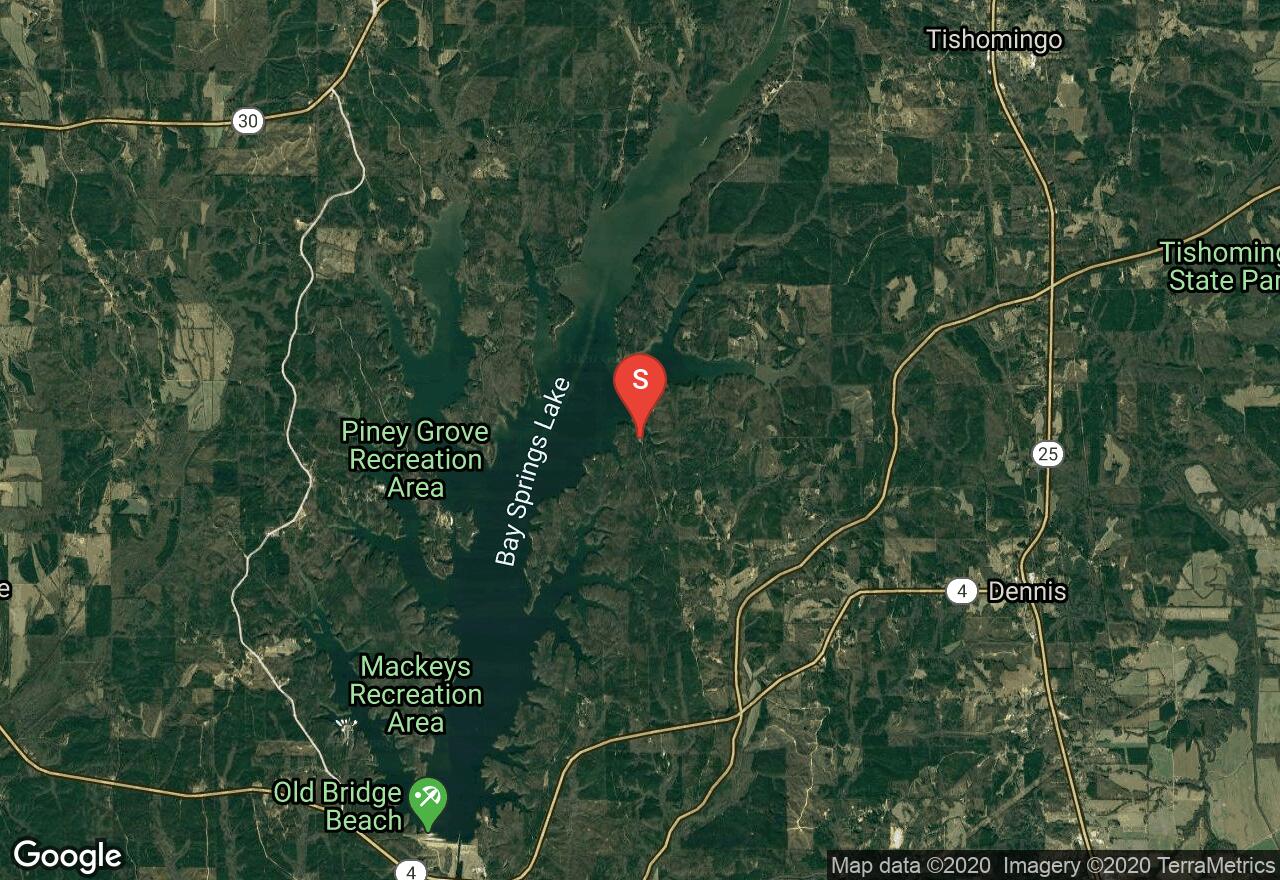
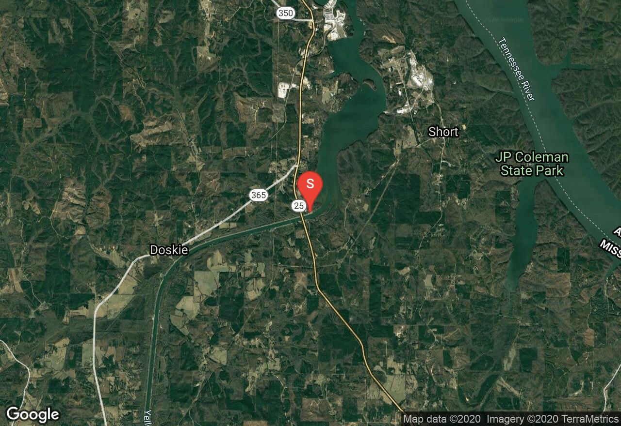
Mississippi, Tishomingo County
12 :20 hrs
29 mi
4.399925 ft
I
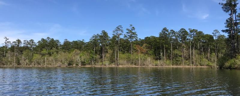
The Tennessee Tombigbee Waterway links the Tennessee and Tombigbee Rivers in northeast Mississippi. It has no current, is frequented by barges and motorboats, and often presents nothing more than a rock-lined canal. But it is one of the major waterways in the South and it passes through some superb wildlife areas. It is quite popular with many types of watercraft. Wildlife abounds along the waterway, beautiful hardwood forests and brushy areas fill the banks, and many campgrounds are nearby. With so many boat ramps and access points, paddling options are limitless. Bay Springs Lake is one of the most beautiful spots on the waterway. The beach-rimmed, piney-woods lake contains countless coves big and small. It is heavily used on summer weekends, but at off times the lake may be virtually deserted. The lock drops you 84 feet where you can have a whole new experience and new vistas.
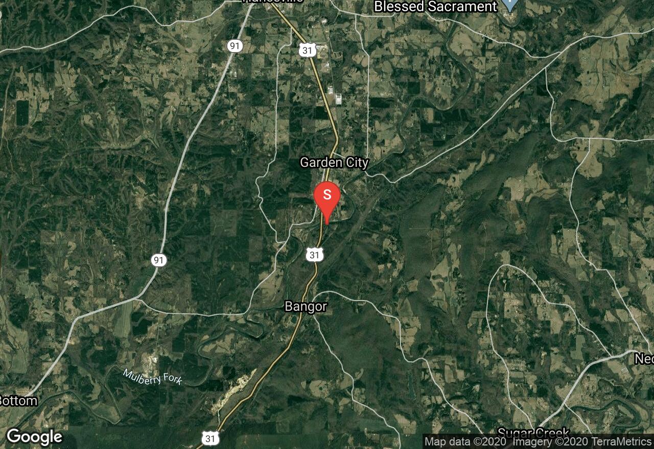
Alabama, Garden City
01 :30 hrs
3.5 mi
21.027008 ft
III
Beginning just off Old Highway 31 bridge, this section of the Lower Mulberry Fork of the Black Warrior River offers exciting rapids ranging from Class II to Class III and multiple drops. The most popular set of rapids is named “Hawaii Five O” which is located at the end of this trip. Also enjoy the scenery as you pass pines and oaks along rocky cliffs adding to the visual status. The take out is just after “Hawaii Five O” on the left, at Birmingham Canoe Club Landing at the end of White Water Drive. Be courteous inside this neighborhood, as the residents do not like a lot of noise.
Mississippi, Tishomingo County
05 :56 hrs
14 mi
6.799988 ft
I
The Tennessee Tombigbee Waterway links the Tennessee and Tombigbee Rivers in northeast Mississippi. It has no current, is frequented by barges and motorboats, and often presents nothing more than a rock-lined canal. But it is one of the major waterways in the South and it passes through some superb wildlife areas. It is quite popular with many types of watercraft. Wildlife abounds along the waterway, beautiful hardwood forests and brushy areas fill the banks, and many campgrounds are nearby. With so many boat ramps and access points, paddling options are limitless. This area is actually a lake and is well-worth exploring. It contains rocky bluffs draped with forests that display phenomenal foliage in the fall.
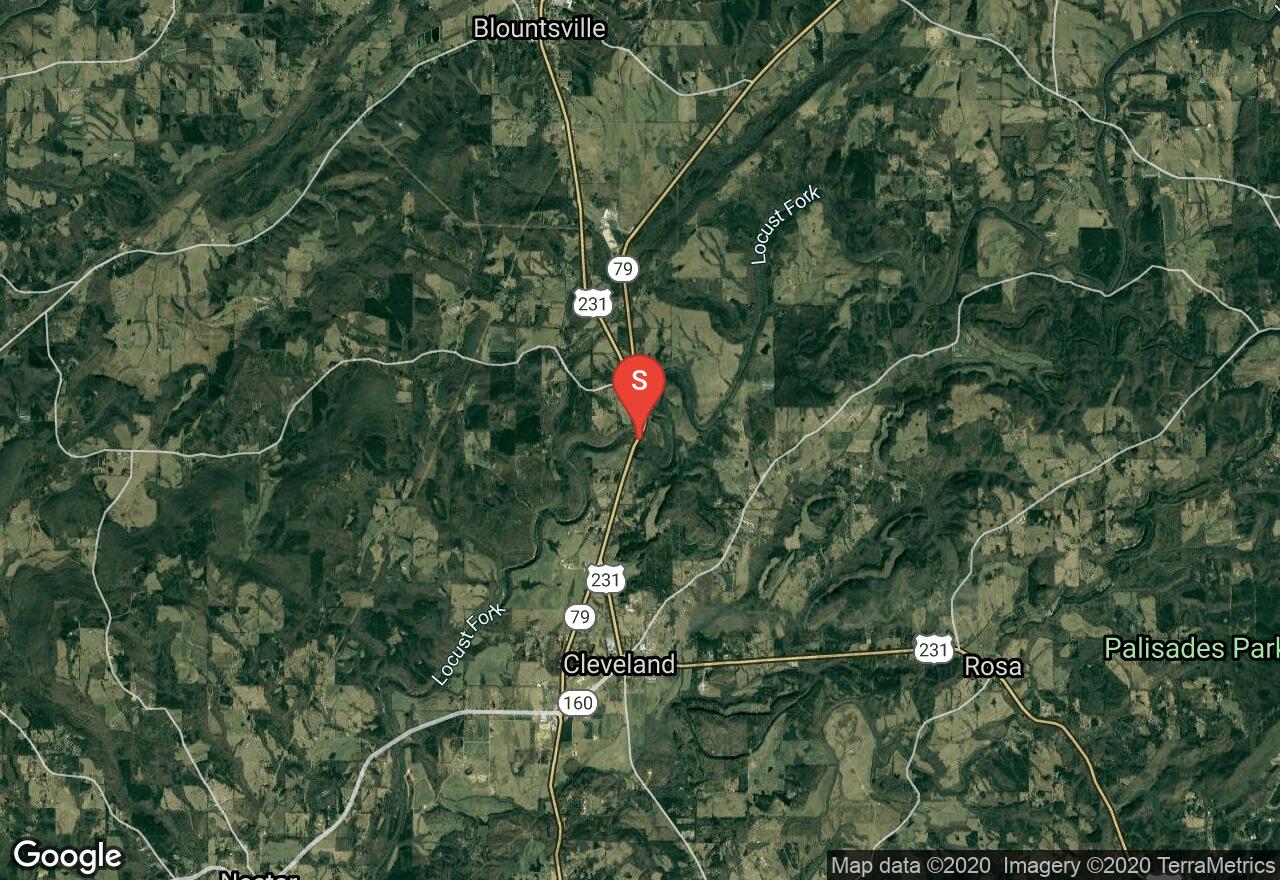
Alabama, Cleveland
01 :29 hrs
3.6 mi
33.461456 ft
III
The Locust Fork of the Black Warrior River is one of the best rivers in the state of Alabama, and even known as one of the best within the United States. Beginning at Hwy 231/79 bridge and ending at Swann Covered Bridge along Swann Bridge Road. This section of the Locust Fork is for experienced paddlers, offering an excellent white water run with technical features and narrow sections with high bluffs. Experience some of the best rapids in the state known as “Double Down” and “House Rock” as you make your way through this route. Be advised, beginners should portage these sections. Rapids along this route range from Class II and Class III.
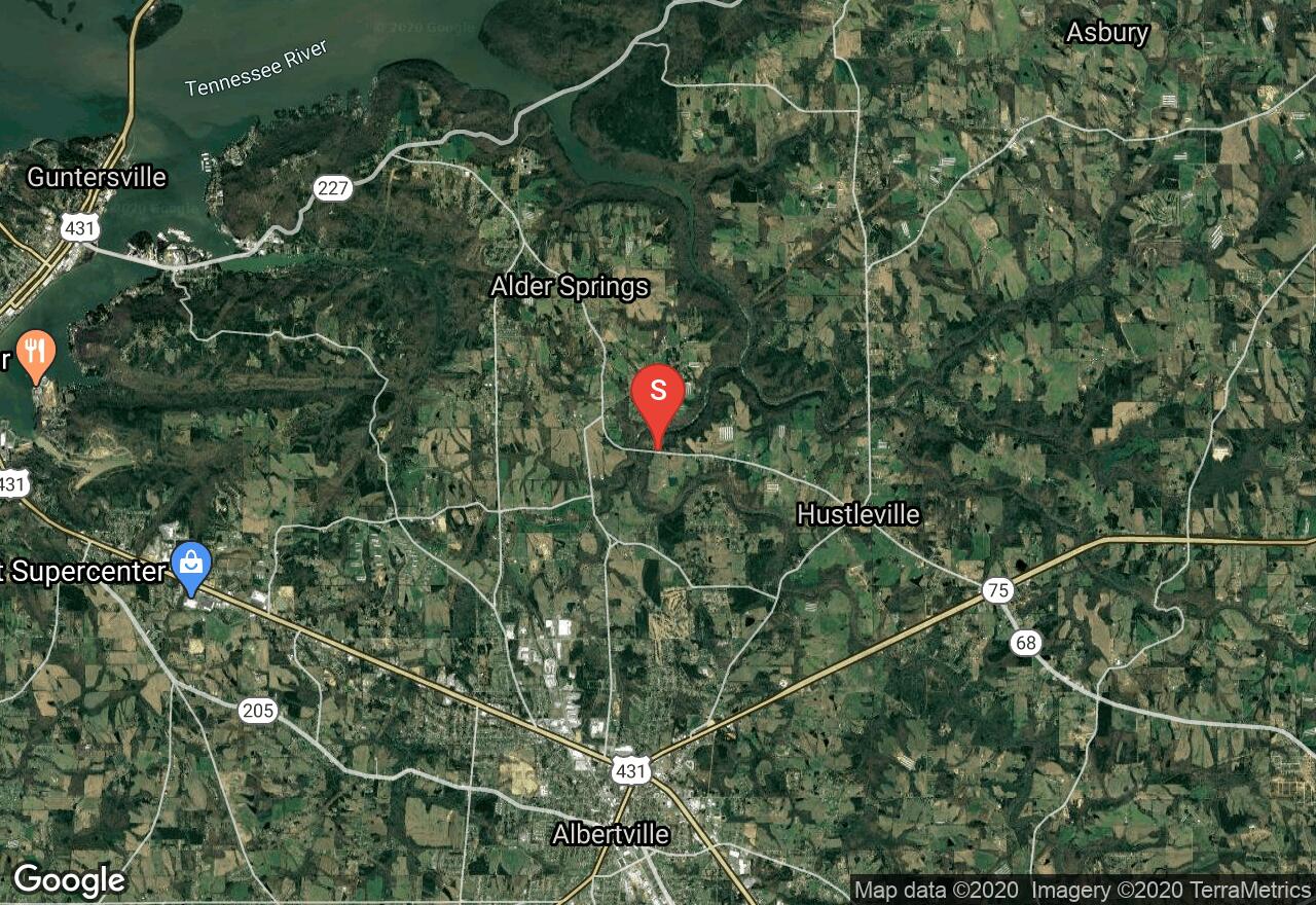
Alabama, Marshall County
01 :57 hrs
5.4 mi
106.89998 ft
V
This section of Short Creek is known as a classic and is a favorite with local paddlers. The trip is quick enough to do in a afternoon, but you can take your time and make a day trip out of it if desired. The put-in is located along County Road 414 (shown here), or you have the option of using the alternate put in further upstream along Martling Road Bridge on County Road 409. This section of Short Creek begins with a bang with Short Creek Falls, a 20 foot drop with multiple rapids following until the creek widens and slows as it flows into Guntersville Lake. Major rapids along this route following Short Creek Falls are Grotto Falls, Tornado Sluice, Divided Highway and Rock Cruncher to name a few. This section provides Class III to Class IV rapids when water levels range from 6 inches to 18 inches with the primary water gauge located at Rt. 75 Bridge further upstream. Scouting is recommended for these rapids. If this section is ran with water levels above 18 inches, the rapids and falls will range from Class IV plus, and is not advised. Once reaching Guntersville Lake, enjoy the views as you paddle to the boat ramp along Alabama 227 at the east end of the bridge.
See more adventures..
Explore complete list
Explore nearby adventures

