Best Kayaking in West Virginia
Trying to find the best kayaking in West Virginia? Bivy has great hiking, biking, paddling, climbing, skiing, riding and more, with hand-curated trail maps, as well as detailed driving directions.
Ohio, Tuscarawas County
02 :03 hrs
4.9 mi
8.344879 ft
I
The Tuscarawas River stretches 130 miles long through 10 counties and is the largest tributary of the Muskingum River. It offers breathtaking scenery with most of it flowing through undeveloped territory. You have opportunity to see squirrels and great blue herons. This short section of river begins at Dover Dam and flows to Dover.
Maryland, Garrett County
02 :18 hrs
6.5 mi
145.05103 ft
V
The Savage is probably Maryland’s most famous whitewater river and is the site of national championships in the 1972 Olympic Trials, international races, and the 1989 World Whitewater Championships. This section is very rarely runnable but is as beautiful a whitewater run as you will find in Maryland. The creek winds through a tight little gorge in complete isolation with rock cliffs and formations all around with lichens and ferns accenting. The rapids are almost continuous on this section and are formed by cobble bars, lots of ledges, and some boulders and there are many sharp turns requiring technical paddling to navigate. One difficult rapid, about four miles into the run on a straightaway is steep and clogged by jagged rocks and undercut boulders, may be carried on the right. Because the stream is so narrow, trees are an occasional problem and there is a strand of barbed wire by the camps above the take-out.
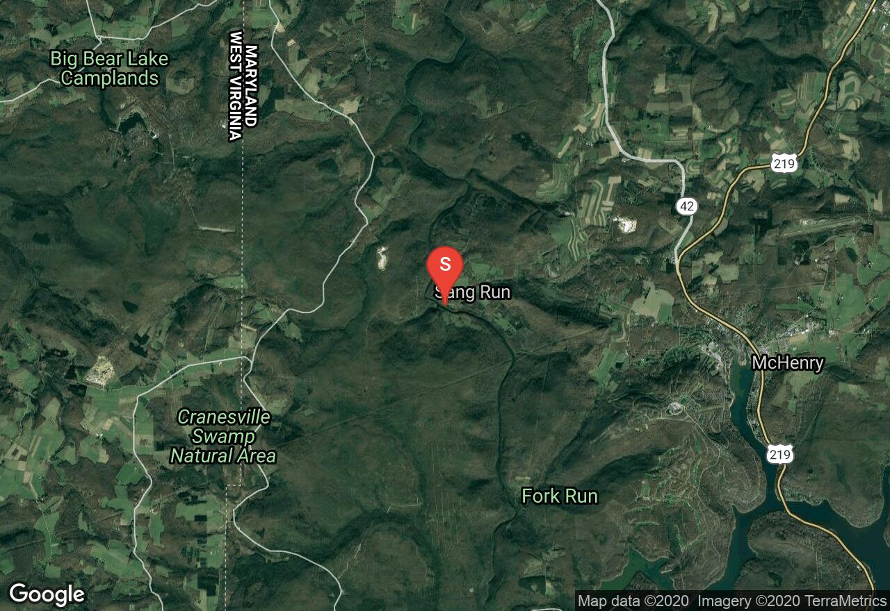
Maryland, Garrett County
03 :55 hrs
10.5 mi
176.41937 ft
V
The Youghiogheny River, called the “Yough” by most people, is a very popular river for paddlers of all skill levels and is most sought out for its whitewater challenge on this trip from Sang Run Road to Friendsville. This section is referred to as Upper Yough and has the whitewater that made this river famous, specifically its four miles of unrelenting boulder piles, ledges, blocked views, cryptic passages, menacing undercuts, and technical difficulties. After a couple miles of riffles and flat water, you will be faced with Gap Falls, a sloping five-foot ledge and from here it is all downhill through many too many rapids to describe. The rough stuff ends at Kendall and allow a soothing coast to the take out at Friendsville Community Park. Though you may not notice on your first run, this is a very beautiful section of the river with cliffs, graceful hemlocks, falls on side streams, rhododendrons, and beautifully sculpted boulders.
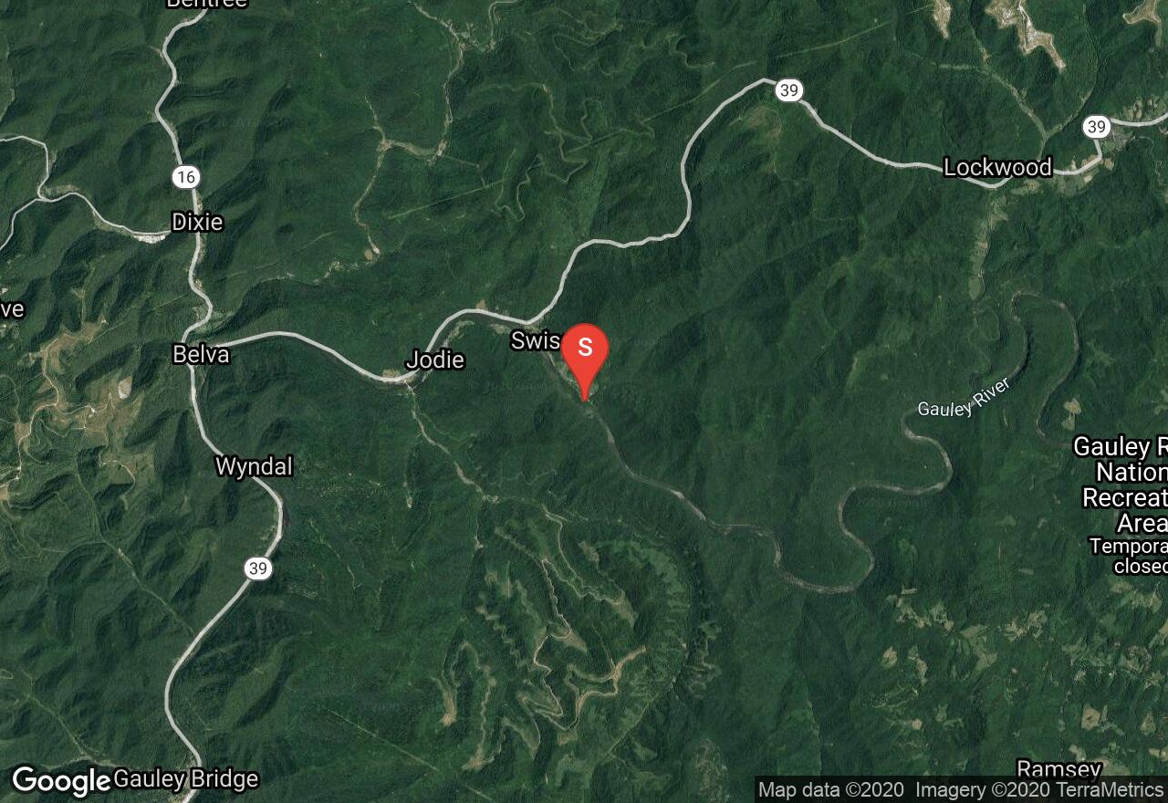
West Virginia, Fayette County
04 :30 hrs
10.7 mi
16.618576 ft
I
The Gauley River is recognized as one of the top ranked whitewater rivers in the world. It is 105 miles long and features over 100 rapids. The Gauley is a dam controlled watershed and scheduled fall release dates offer amazing flows for rafting. It travels through stunning wilderness scenery including canyon cliffs, waterfalls and lush foliage. This section of the Gauley River travels easily and quietly to the junction with the New River at the Gauley Bridge.
Ohio, Knox County
04 :50 hrs
11.5 mi
25.685669 ft
III
This section of the Kokosing River is the beginning of the rivers most scenic stretch. It is popular and has some fun rapids. At one point the river narrows to 20' between sandstone boulders. Factory Rapids are the most challenging and can be portaged on river right or run on river left. These rapids are between steep sandstone walls. During high water they can be class 3. Take out can be Riley Chapel Road or Township Road 423.
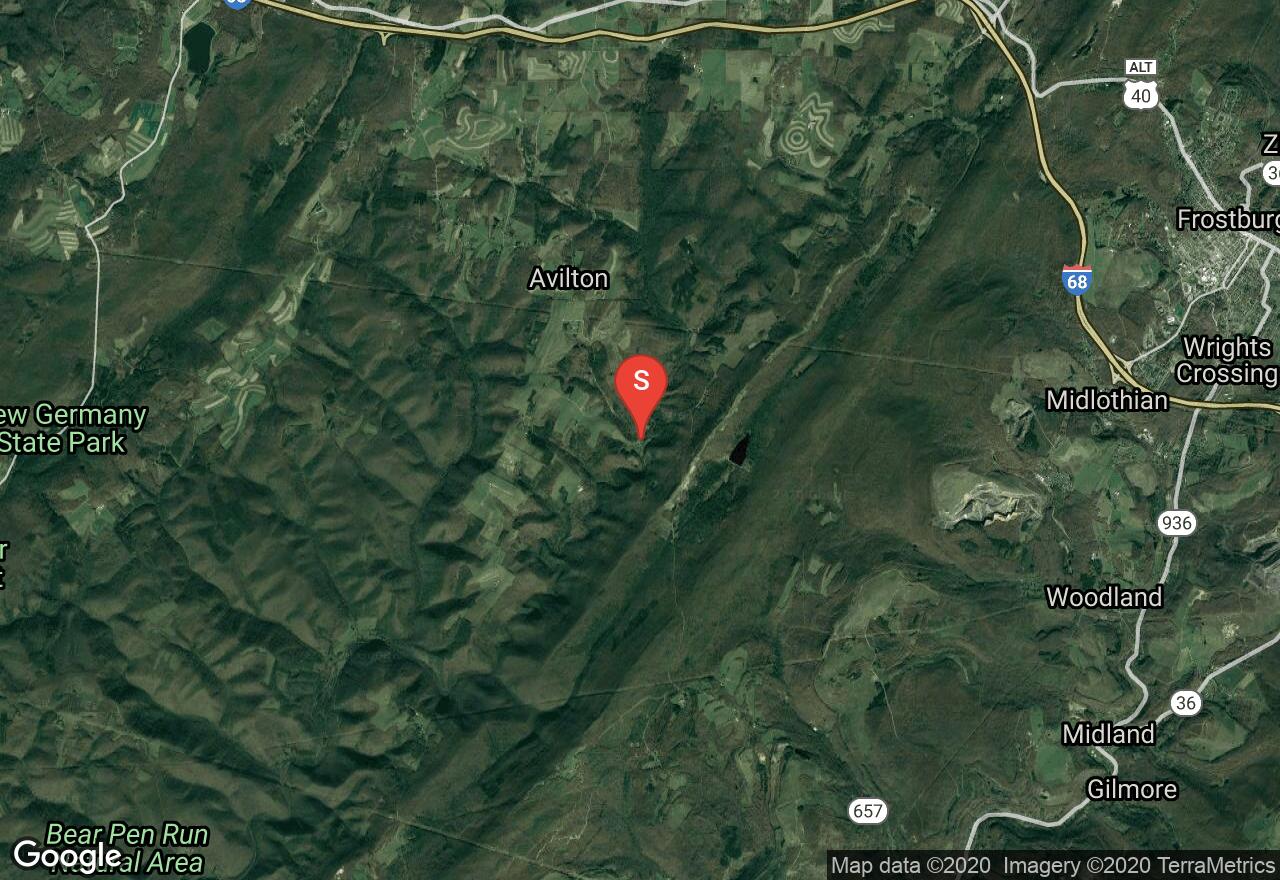
Maryland, Allegany County
05 :47 hrs
13.8 mi
24.241203 ft
III
The Potomac is the longest and most diverse river system in Maryland, reaching from the cold, high plateau of the Alleghenys to the broad waters of the Chesapeake Bay and tidewater. For this section, the Potomac cuts through the ancient Blue Ridge and its foothills and forms the first whitewater since its headwaters. To begin, you will navigate through The Needles, and intricate ledgy staircase that is a perfect novice whitewater run except when the water is high, novices should skip this section as the river runs stronger than it looks. Just after the Shenandoah River joins, the river tumbles over a series of jagged ledges and runs over two distinct drops named Whitehorse Rapids. Below this the river glides through a beautiful maze of rocks and islets to another gap through South Mountain and Short Hill. A smooth and swift section allows time to relax before a gap in Catoctin Mountain to the take out at the Route 15 bridge.
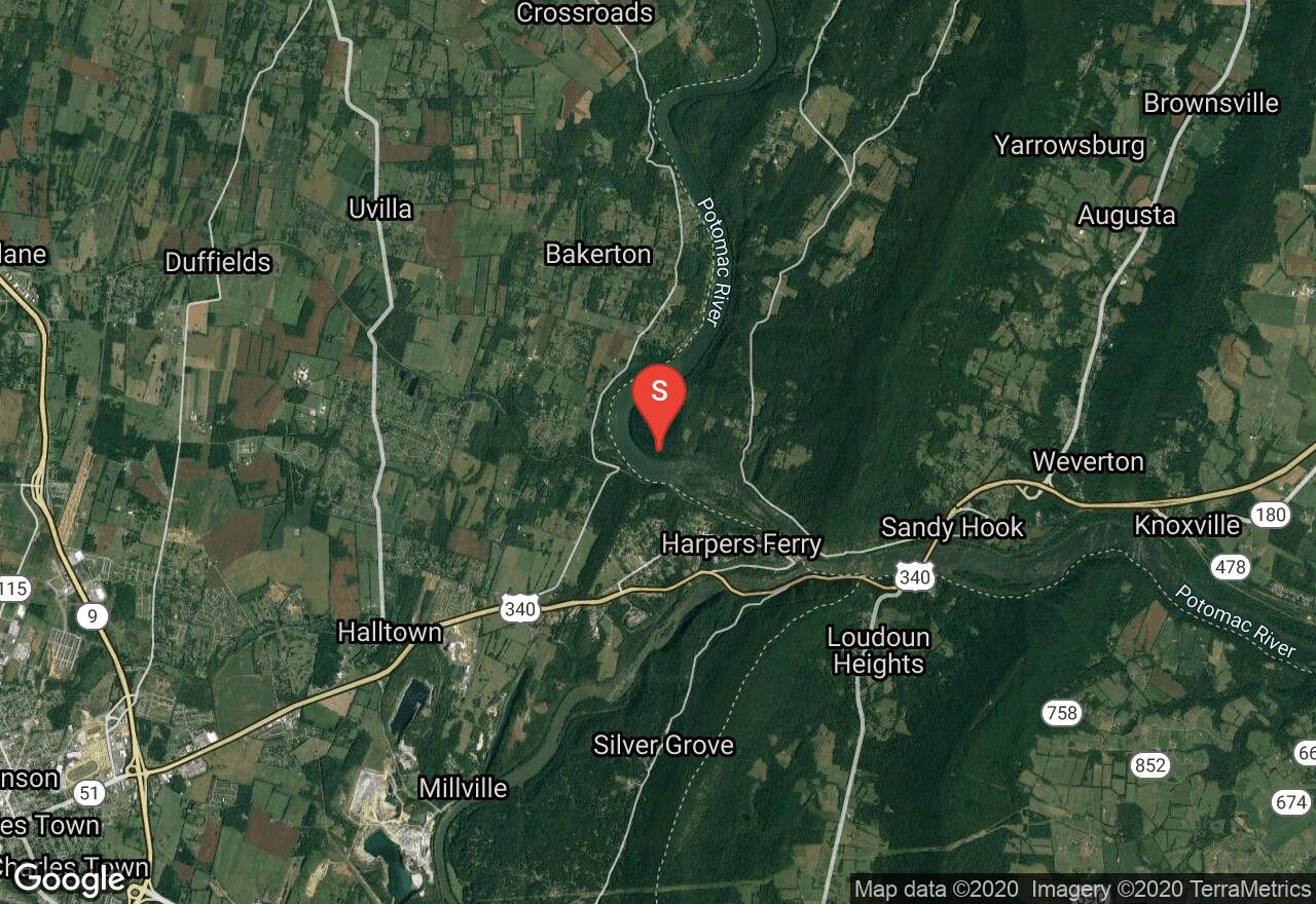
West Virginia, Jefferson County
01 :52 hrs
4.4 mi
14.336266 ft
II
The Shenandoah River is a tributary of the Potomac River. This is a beautiful river and passes islands, cliffs, and travels to the historic Harpers Ferry. This section of the river begins with easy flat water and then the first rapid begins against high cliffs as the river bends right. The biggest rapid on this run is Bull Falls. It is A large ledge rapid that has many slots and channels depending on water levels.
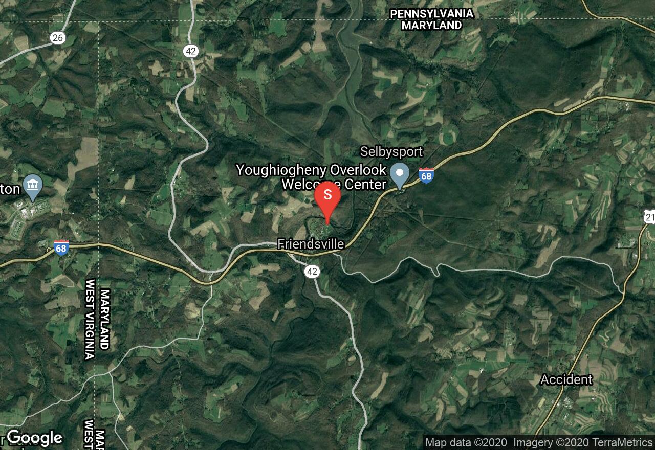
Maryland, Friendsville
03 :32 hrs
8.3 mi
8.199982 ft
I
The Youghiogheny River, called the “Yough” by most people, is a very popular river for paddlers of all skill levels and is most sought out for its whitewater challenge from Sang Run to Friendsville. This section is perfect for beginners with lots of flat water and quick water with only a short section of small, Class I waves. It is a really pleasant place to paddle as the reservoir is relatively narrow and fringed by high slopes and thick forests. This area gets very busy so it is best to go early in the morning when it is still calm. Hazards on this route are limited to that of the heavy crowds and power boats. Take out point is across the border into Pennsylvania on the right hand side just after floating under the Route 40 bridge.
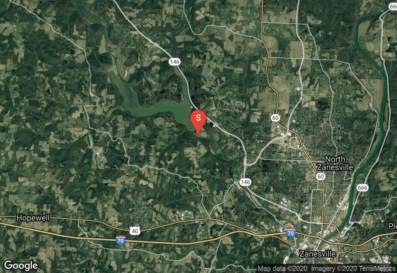
Ohio, Muskingum County
00 :51 hrs
2 mi
4.4794617 ft
II
Licking River is a tributary of the Muskingham River and is about 40 miles long. This short section of paddling begins just below Dillon Dam with access on river left. You will reach Dillon Falls about 1 mile after put in. The falls are a long set of class II rapids of wide ledges that vary in drop up to 1 feet. Only experienced paddlers should attempt this section.
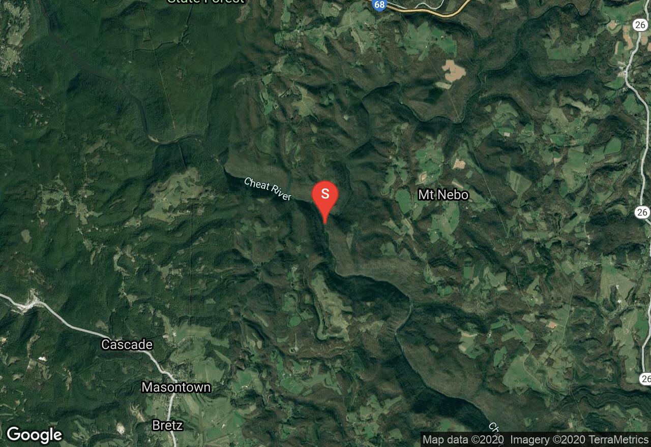
West Virginia, Preston County
03 :22 hrs
8.2 mi
36.182404 ft
III
The Cheat River is 78.3 miles long and meanders through remote well kept farmlands. This stretch has some rapids and a substantial amount of flat water. The first rapid is located below the mouth of the Big Sandy which is followed by 4 class III rapids.
See more adventures..
Explore complete list
Explore nearby adventures

