Best Hiking in Maryland
Trying to find the best hiking in Maryland? Bivy has great hiking, biking, paddling, climbing, skiing, riding and more, with hand-curated trail maps, as well as detailed driving directions.
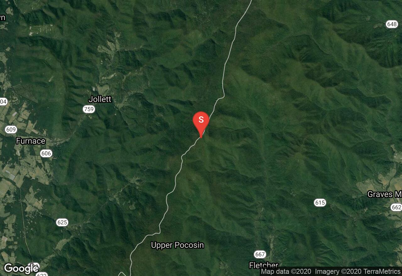
Virginia, Madison County
03 :08 hrs
6.3 mi
664.1326 ft
Hard
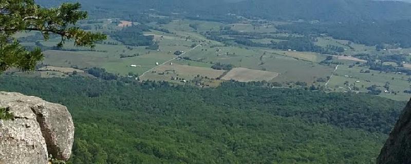
The Old Rag is a popular summit among the Shenandoah peaks because climbing it feels like an actual mountain, perhaps due to its rocky mount, unique among mountains in the Blue Ridge. This particular route begins from the parking area on VA 600 and follows the Ridge Trail up the spine of Old Rag. Continue following this trail along the rocky summit of Old Rag, soak in the views, and then descend along the easterly side of the mountain. When the trail rejoins Weakly Hollow Road, make a hard right along the Weakley Hollow Fire Road that parallels the main road. This will eventually return to the parking area.
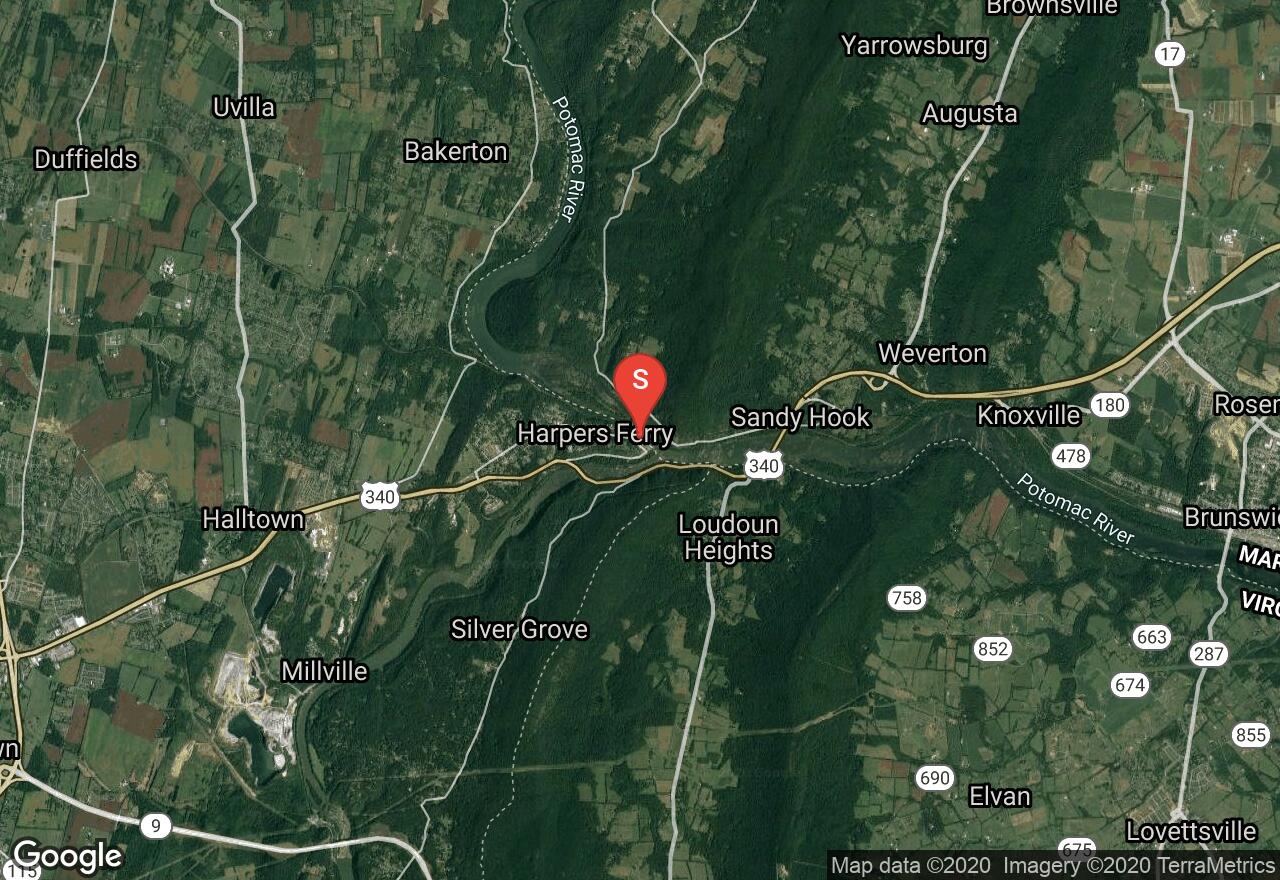
Maryland, Washington County
02 :18 hrs
5.1 mi
347.89536 ft
Hard
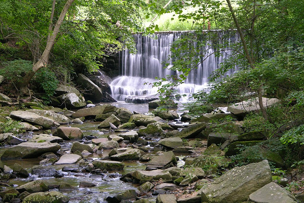
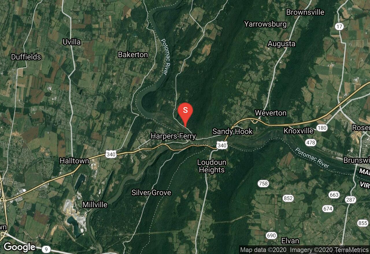
This hike is located in Harpers Ferry National Historical Park and features a great deal of history, beautiful thick forests, a mountain ridge, stunning views, and wildlife. In 1783 Thomas Jefferson declared the confluence of the Shenandoah and Potomac Rivers to be “perhaps one of the most stupendous scenes in Nature.” You will hike up to the top of a mountain ridge with gorgeous scenery and make your way to two breathtaking view points overlooking the rivers. Be sure to visit Harpers Ferry and learn about the history of the area before you set off.
Maryland, Potomac
01 :16 hrs
3.7 mi
19.7414 ft
Hard
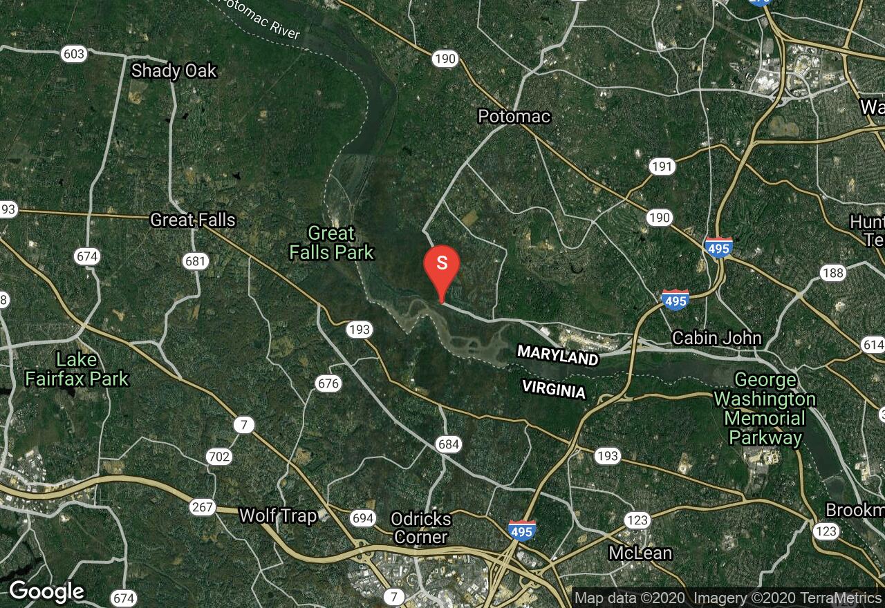
This hike is located in the C & O Canal National Historic Park only 30 minutes away from the Capital Beltway. The trail is named for the rocky and steep terrain with an abundance of opportunities to scramble over rocks and among cliff edges to attain optimal views of the rugged landscape. You will hike along the Potomac River with stunning views throughout, including views of Mather Gorge and return along the C & O Canal, passing old canal locks and beautiful scenery on a path that is wide and flat.
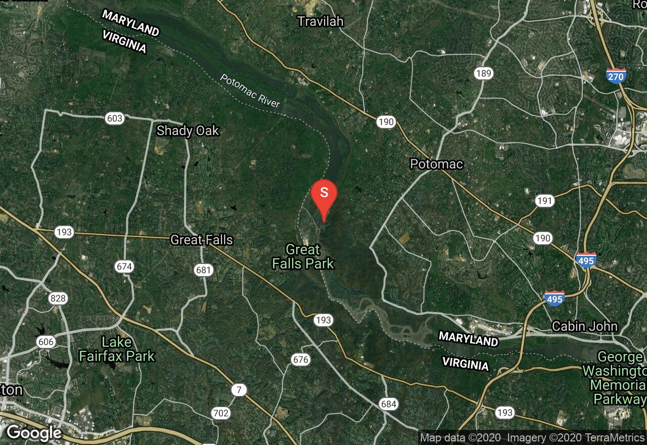
Maryland, Travilah
01 :27 hrs
4.3 mi
17.8899 ft
Moderate
This hike is located in the C & O Canal National Historic Park only 30 minutes away from the Capital Beltway. On this hike you will pass historic canal locks, some of which are still in use, beautiful water views, including the chute of Great Falls, and a wonderful, rocky landscape which provides stunning scenery. Great Falls is a beautiful waterfall with intense raging water through Mather Gorge. Later on the hike, there are calm water views on the canal downstream. You will find rich history in the park as you hike past the old canal locks, historic buildings, and take the guided tours available here.
West Virginia, Jefferson County
03 :16 hrs
7.2 mi
262.1057 ft
Hard
This trail travels a small section of the Appalachian trail, beginning at Harpers Ferry National Historic Park. The park represents over 1,000 years of history, including the arrival of the first successful American railroad, John Brown's attack on slavery, and the largest surrender of Federal troops during the Civil War. The trail passes many old buildings and ruins that have been preserved. Over 170 bird species as well as many mammal species are located in the park including, the southern flying squirrel and the bald eagle. The Appalachian and Loudoun Heights Trail travels through thick eastern deciduous forest, consisting of chestnut oak, tulip poplar and red maple. The trail leads to Split Rock Overlook, providing views of the town of Harpers Ferry as well as the confluence of the Shenandoah and Potomac River. National Park Service fee is required, fee envelopes provided at the parking lot. The park is open year-round from 9 a.m. to 5 p.m and closed some holidays.
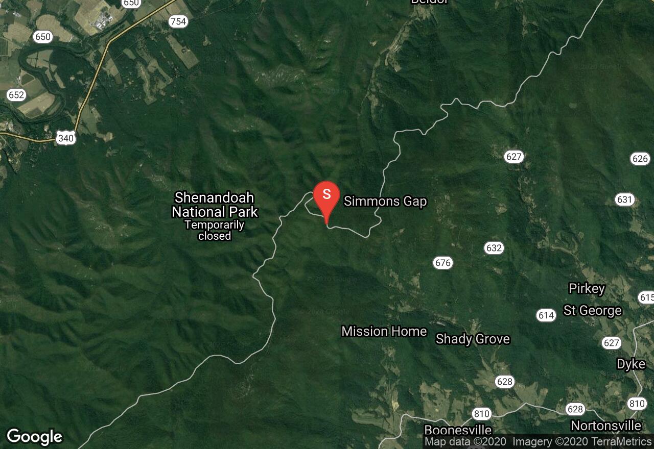
Virginia, Greene County
04 :50 hrs
10.9 mi
388.90216 ft
Expert
This long and strenuous but popular section of the Appalachian Trail parallels Skyline Drive on its way north from Pinefield Gap to Swiftrun Gap. Black bear sightings are common in the lonely peaks of the northern Shenandoah, and there are views aplenty for hikers that wish to brave this day-long stretch of the AT as it slithers along the ridges. Be wary when crossing Skyline Drive, as this route crosses the road often; also, several brief spur trails lead to peaks like the Swiftrun Overlook, Bacon Hollow, and Hightop. Upon arrival at Swiftrun Gap, cross Skyline Drive and take the bridge across VA 33 to walk towards the parking area.
Virginia, Charlottesville
04 :04 hrs
9.2 mi
405.33295 ft
Expert
This arduous day hike follows the famous Riprap Trail in a loop around the incredible scenery of the southern portion of Shenandoah National Park. Descending through the forests of mountain laurel that cover the mountainside, the trail eventually comes to Wildcat Ridge as it switchbacks down into the valley. Turning right and following the Riprap Trail, the path follows the creek for many miles into Cold Spring Hollow. Ascending into the forests once more, hikers will marvel at the views from Calvary Rocks as they make their way across the quartz-studded ridge line. When the Riprap meets the Appalachian Trail, veer right on the AT as it parallels Skyline Drive on the way back to the parking area.
Virginia, Greene County
04 :55 hrs
11.3 mi
704.07654 ft
Expert
This strenuous but rewarding river loop begins wending its way down into the valley on the Slaughter Trail. Traveling through pine and deciduous forests on old logging trails, eventually the path will come to the Conway River. Make a hard left onto Conway River Road and parallel the water all the way through the gulch. After a lengthy stretch of walking and several rockhopping fords, the trail will begin ascending back up to the ridgeline. When the trail reaches Skyline Drive, make a hard left on the Appalachian Trail as it parallels the road. Make a brief detour to the left to scramble up the side of Bearfence Mountain for incredible views in all directions before heading back to the parking area.
Virginia, Warren County
04 :28 hrs
10 mi
681.79126 ft
Expert
This beautiful and popular loop hike begins by crossing Skyline Drive and coming to an overlook on Marshall Mountain. The path then follows the Appalachian trail to the summit of Hogsback Mountain, which allows stunning and uninterrupted views of the Massanutten region to the north. Descending along the Hogsback ridge, veer right along Jinney Gray Road which begins curving down the slope on its way to the Little Devils Stairs Trail. Solemn rock monoliths and roaring waterfalls await hikers as they descend through the valley carved by Keyser Run among hidden pools and groves of sapling maples. Upon reaching the bottom of the creek, make a right on the Keyser Run Fire Road as it cuts a wide swath through the open woods and arrives at Bolen Cemetery (with gravestones dating back to the Civil War). When the Keyser Run Fire Road merges with the Sugarloaf Trail, take this back towards Marshall Mountain and the parking area.
Virginia, Madison County
03 :42 hrs
8.3 mi
369.95813 ft
Expert
Beginning from the Fishers Gap Overlook, which offers many wide-ranging views of its own, this route begins following the Skyland-Big Meadows Horse Trail. This well-trodden path passes through deciduous forests and open meadows on its way through the ridges that run along the edge of Skyline Drive. Crossing the road, take the Lower Hawksbill Trail to ascend to the summit of the highest peak in Shenandoah: Hawksbill Mountain. From the observation platform hikers can look for miles in every direction and take in numerous views of the Blue Ridge topography. After descending from the peak, take the Appalachian Trail on its wandering course back to Fisher’s Gap.
See more adventures..
Explore complete list
Explore nearby adventures

