![]()
Deception Pass
Island County, Washington
Uploaded by Bivy Team
01 :38 hrs
4.1 mi
55 ft
SK V
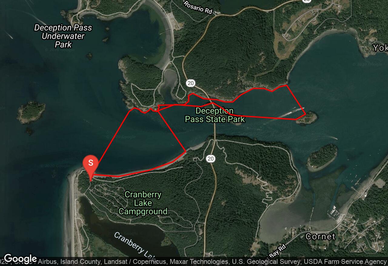
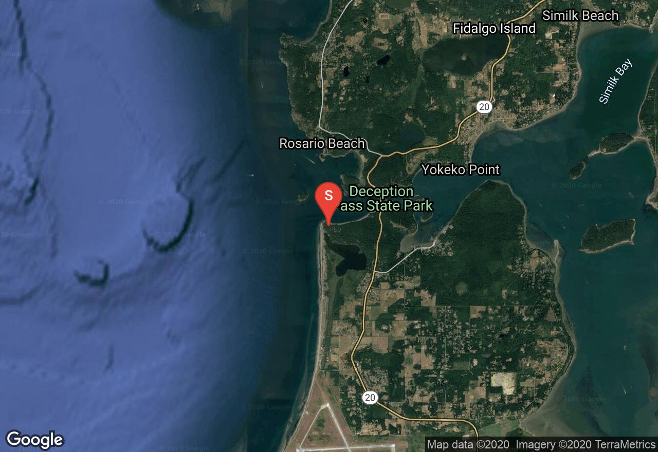
Deception Pass marks the northern boundary of Whidbey Island, which is very long and blocks a considerable amount of marine traffic, which must squeeze through this narrow passage surrounded by cliffs. Boat traffic and a very strong current, up to 8 knots at times, are the principal hazards of this channel. The challenge is great, and so are the rewards, like fantastic scenery, views of Mt Baker, sea life, and the chance for current play in eddy lines, breakers, and whirlpools for the skilled kayaker. Study current charts for the best predictions on the day of your outing. Most paddlers use the channel north of Pass Island (Canoe Pass) because of reduced boat traffic compared to the main channel. As always, the route suggested here is not always the best one for the conditions you find yourself in. Be especially aware of strong west winds and waves going against the west-flowing ebb tide.
2 photos
[{"url":"https://images.bivy.com/lgMap/406037.jpg"},{"url":"https://images.bivy.com/lgTrailMap/406037.jpg"}]
Deception Pass | Island County, Washington
Deception Pass marks the northern boundary of Whidbey Island, which is very long and blocks a considerable amount of marine traffic, which must squeeze through this narrow passage surrounded by cliffs. Boat traffic and a very strong current, up to 8 knots at times, are the principal hazards of this channel. The challenge is great, and so are the rewards, like fantastic scenery, views of Mt Baker, sea life, and the chance for current play in eddy lines, breakers, and whirlpools for the skilled kayaker. Study current charts for the best predictions on the day of your outing. Most paddlers use the channel north of Pass Island (Canoe Pass) because of reduced boat traffic compared to the main channel. As always, the route suggested here is not always the best one for the conditions you find yourself in. Be especially aware of strong west winds and waves going against the west-flowing ebb tide.