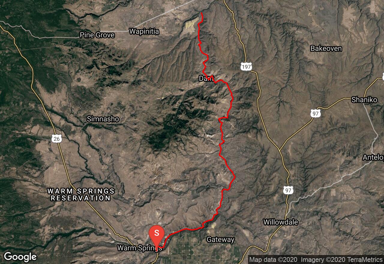
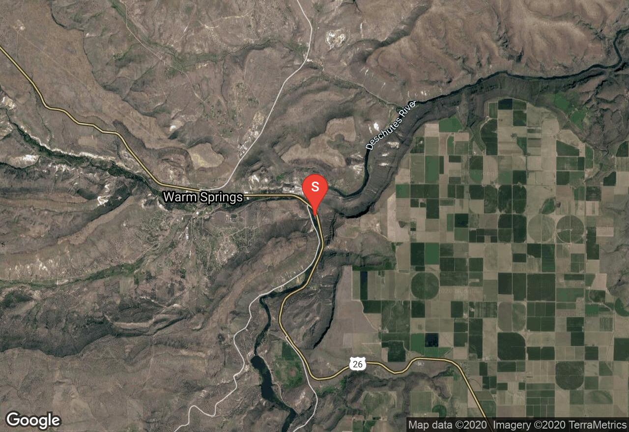
Lower Deschutes - Warm Springs to Wapinitia Creek
Jefferson County, Oregon
Uploaded by Bivy Team
VIEW MAP
20 :40 hrs
42.2 mi
461 ft
II
Rafting
Kayaking
Canoeing
In north-central Oregon, the lower Deschutes draws paddlers from all over. The river runs through the high desert with little rainfall and plenty of sun as it cuts through canyons and is large and full year-round. There are quite a few sections of Class II rapids, but it is also a relaxing float down the river. The Warm Springs Indian Reservation is along the left or west side of the ride along this route. Paddlers are prohibited from setting foot on this private land, thus any camping or resting should be done on the east side.
2 photos
Get the app

