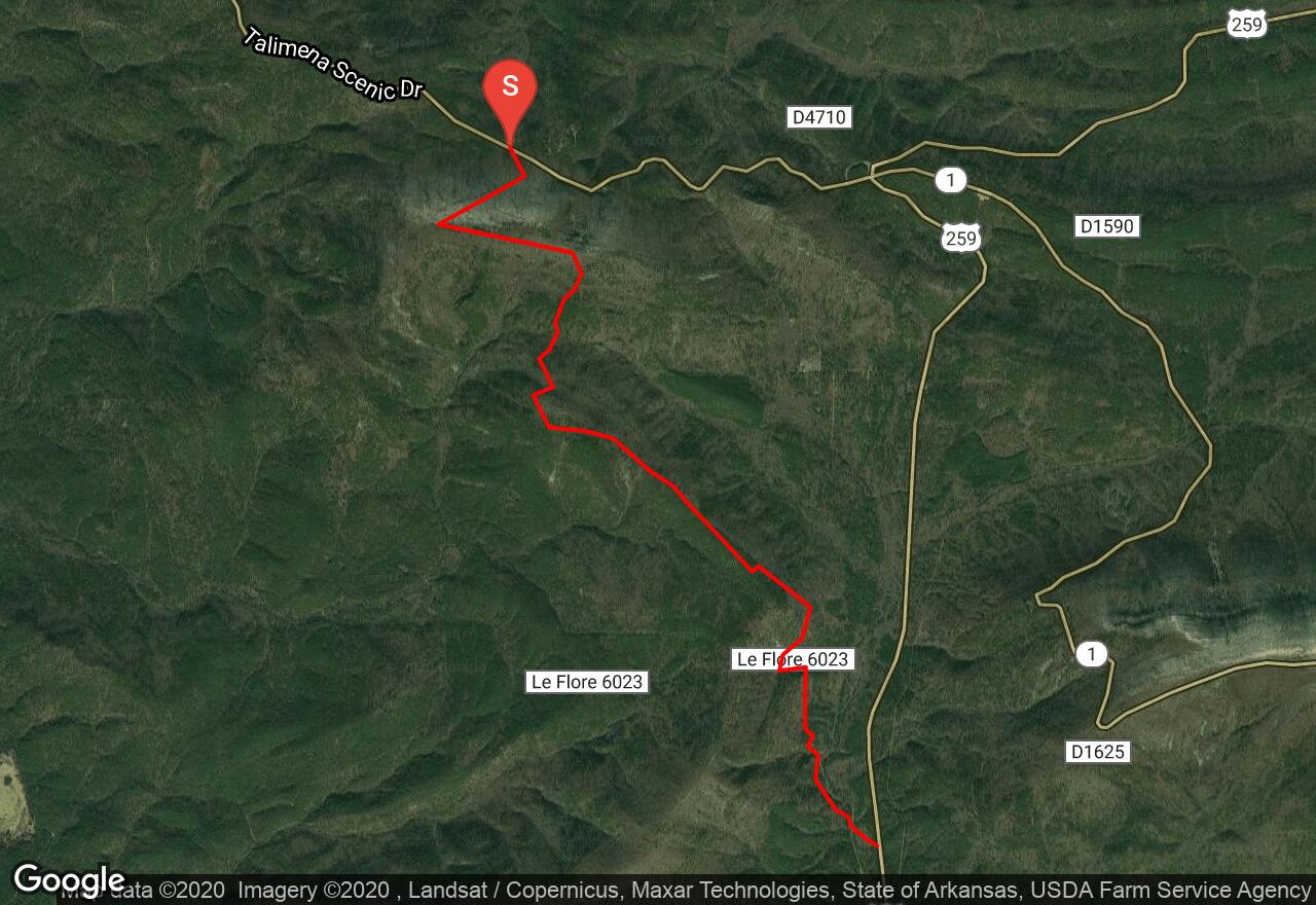
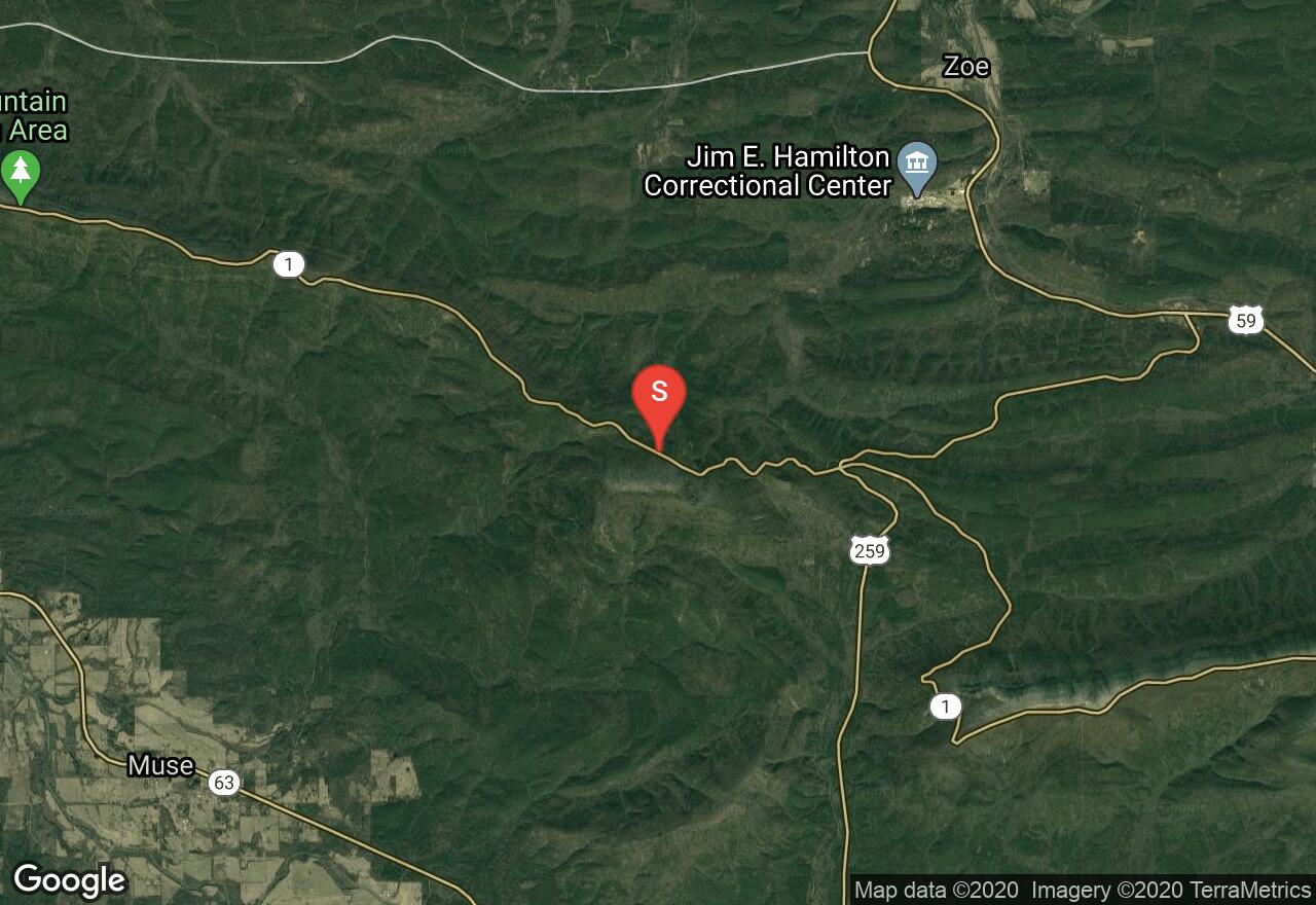
Winding Stair Campground to U.S. Hwy 259
Le Flore County, Oklahoma
Uploaded by Bivy Team
VIEW MAP
02 :12 hrs
6 mi
1366 ft
Hard
Mountain Biking
Blue blazes mark the trail to the right of the metal roadblock. After a little over a mile a small southward trail bend and a large rock cairn will mark the remains of the old Winding Stair Fire Tower. This also marks the highest point of the entire Ouachita Trail at 2,451 feet. The end of the descent from this point is marked by a scenic and primitive campsite in the saddle. Water and other amenities are available at the Winding Stair Campground.
2 photos
Get the app

