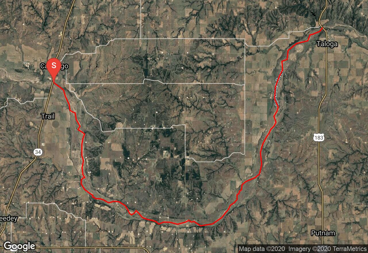
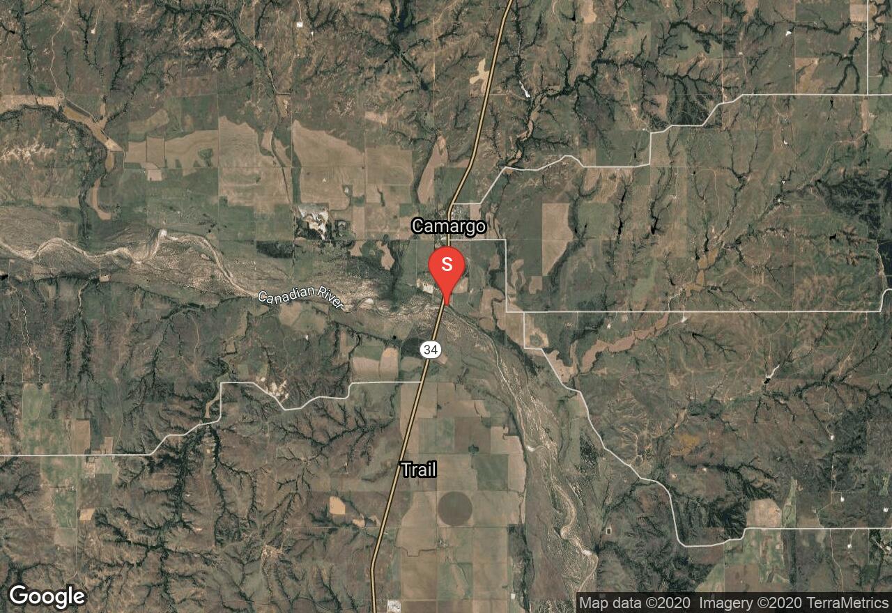
South Canadian River: SH 34 Bridge- US Hwy 183
Dewey County, Oklahoma
Uploaded by Bivy Team
VIEW MAP
15 :31 hrs
37 mi
185 ft
II
Sea Kayaking
Kayaking
Canoeing
The South Canadian River is 760 miles long flowing about 267 miles through Oklahoma. It is not a popular paddling destination and offers very remote terrain. Because it is rainfall dependent the best time to float is late winter through late spring. During above average years it may be navigable in any month. During lower levels, you will have some portages forcing you to carry or drag boats and gear. Be aware of water moccasins, quicksand, red clay mud and heat. There is very little shade so plan accordingly. This section begins at SH 34 Bridge and flows to US Hwy 183.
2 photos
Get the app

