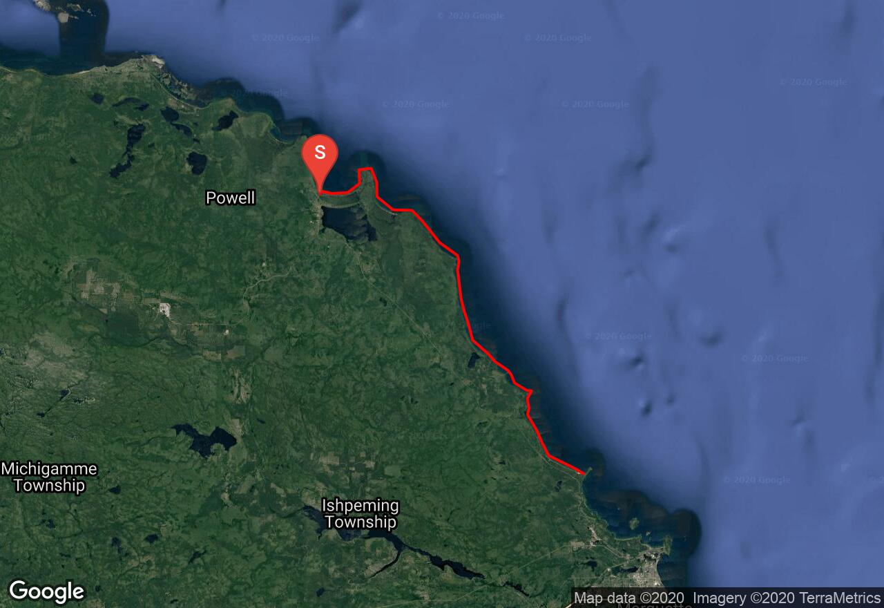
Big Bay to Little Presque Isle
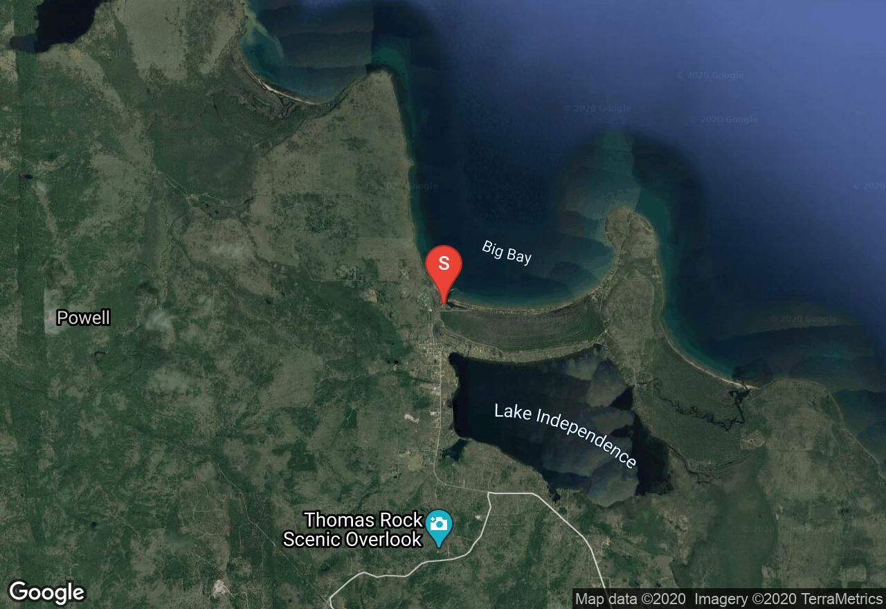
Big Bay, Michigan
Uploaded by Bivy Team
VIEW MAP
09 :22 hrs
23.4 mi
10 ft
SK IV
Sea Kayaking
Kayaking
This section of Lake Superior coastline between Big Bay and Little Presque offers paddlers some scenic but very rugged waters for paddling. Much of the shoreline is privately owned but still largely undeveloped making it a worthwhile trip. The shoreline mainly consists of sandstone cliffs, rocky headlands, and bedrock coast that can result in rough waters. There are a few sandy beaches along the way for landing but no camping is allowed so the trip must be done as a one-day paddle. Do not attempt paddling when winds are strong, especially coming from the northeast.
2 photos
Get the app

