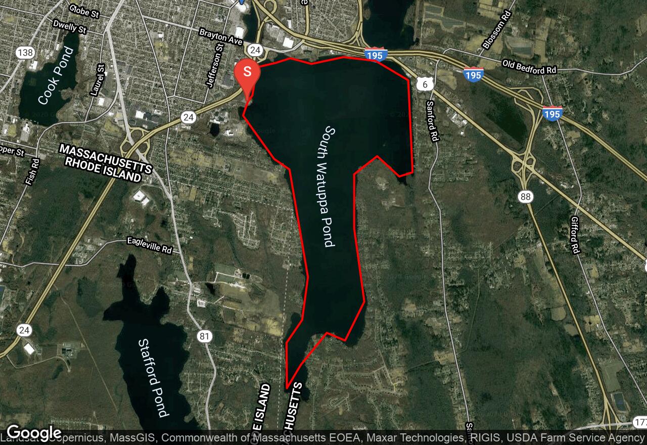
South Watuppa Pond
Fall River, Massachusetts
Uploaded by Bivy Team
VIEW MAP
04 :02 hrs
8.9 mi
3 ft
I
Kayaking
Canoeing
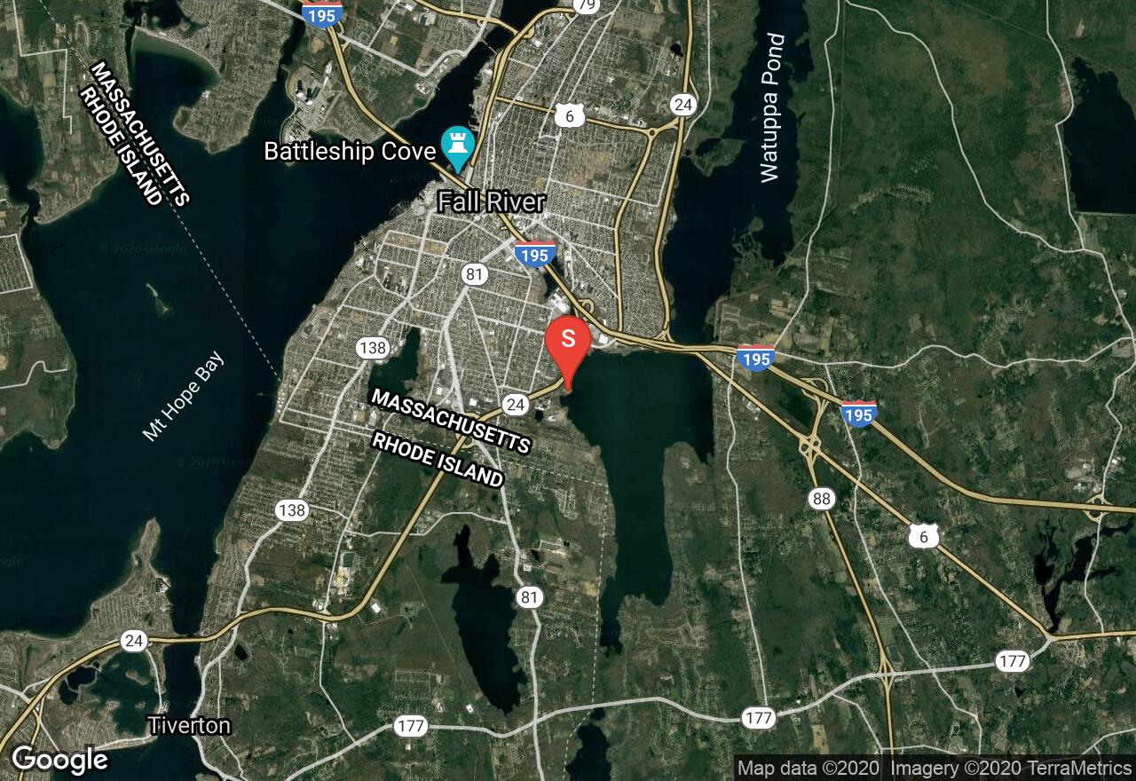
South Watuppa Pond is part of North Watuppa Pond except for a thin strip of land, called The Narrows, on which Interstate 195 and MA Route 6 which cross to enter Fall River. These lakes form the border between Fall River and Westport. This is a large, glacially formed lake that is spring-fed and drained by the Quequechan River which flows through the center of Fall River. Although there is no public boating access to North Watuppa Pond, South Watuppa Pond has a boating ramp on the northwest side of the lake off Route 24. Most of the shore is developed with homes lining the pond and part of the shore is forested.
2 photos
Get the app

