![]()
Merced River
Mariposa County, California
Uploaded by Bivy Team
11 :19 hrs
28.7 mi
918 ft
IV
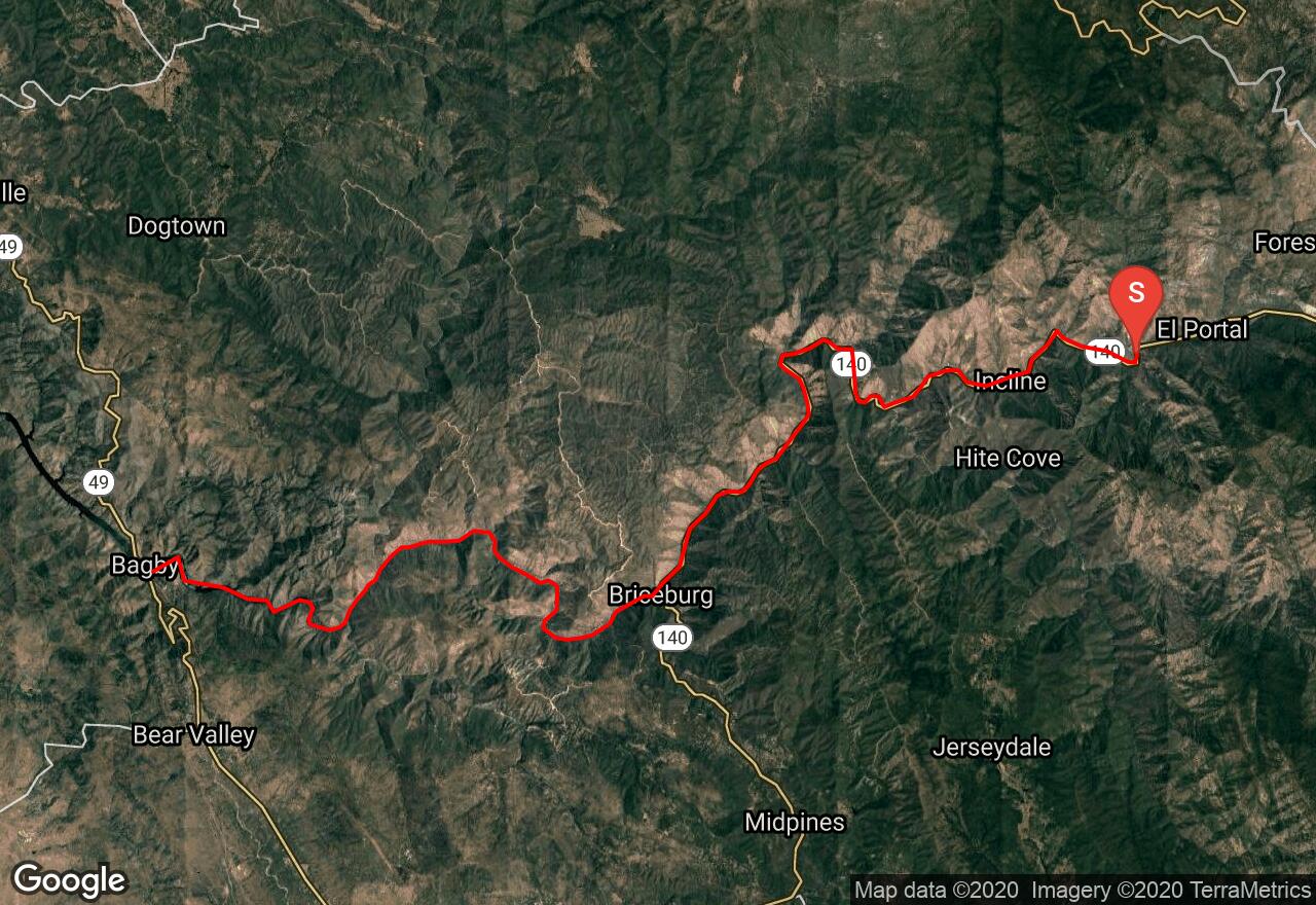
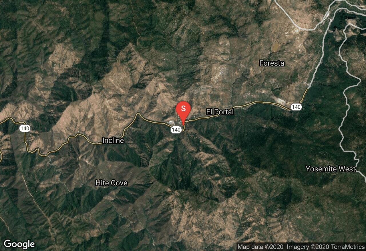
The headwaters for the Merced River originate from Mount Lyell of Yosemite National Park. It tumbles past Yosemite Dome creating the famous Vernal Falls and Nevada Falls before making its way to the valley floor and through a typical Sierra foothill canyon, this is where this trip begins. This run has a combination of Class III and IV rapids that eventually are broken up with a break just before Briceburg (mile 15). Briceburg is used as a take out/put in for a half day run. The trip explained here is intended to be a multi-day trip. The BLM has three designated camping areas: McCabe Flat campground at mile 17.5, Willow Placer campground at mile 18.8, and Railroad Flat campground at mile 20.2. Contact the BLM for further information on camping and required permits. At mile 22 just before the confluence with the North Fork of the Merced is a 30 foot waterfall, the North Fork Falls. Some have navigated the far left side and dodged the boulders, but most use the portage on the right. Here is a link to a map indicating rapids and put ins/take outs: http://www.merced-river.com/images/maps/rl-mer.jpg.
2 photos
[{"url":"https://images.bivy.com/lgMap/476037.jpg"},{"url":"https://images.bivy.com/lgTrailMap/476037.jpg"}]
Merced River | Mariposa County, California
The headwaters for the Merced River originate from Mount Lyell of Yosemite National Park. It tumbles past Yosemite Dome creating the famous Vernal Falls and Nevada Falls before making its way to the valley floor and through a typical Sierra foothill canyon, this is where this trip begins. This run has a combination of Class III and IV rapids that eventually are broken up with a break just before Briceburg (mile 15). Briceburg is used as a take out/put in for a half day run. The trip explained here is intended to be a multi-day trip. The BLM has three designated camping areas: McCabe Flat campground at mile 17.5, Willow Placer campground at mile 18.8, and Railroad Flat campground at mile 20.2. Contact the BLM for further information on camping and required permits. At mile 22 just before the confluence with the North Fork of the Merced is a 30 foot waterfall, the North Fork Falls. Some have navigated the far left side and dodged the boulders, but most use the portage on the right. Here is a link to a map indicating rapids and put ins/take outs: http://www.merced-river.com/images/maps/rl-mer.jpg.