Deer Creek
Tehama County, California
Uploaded by Bivy Team
VIEW MAP
13 :52 hrs
40.1 mi
3166 ft
V
Kayaking
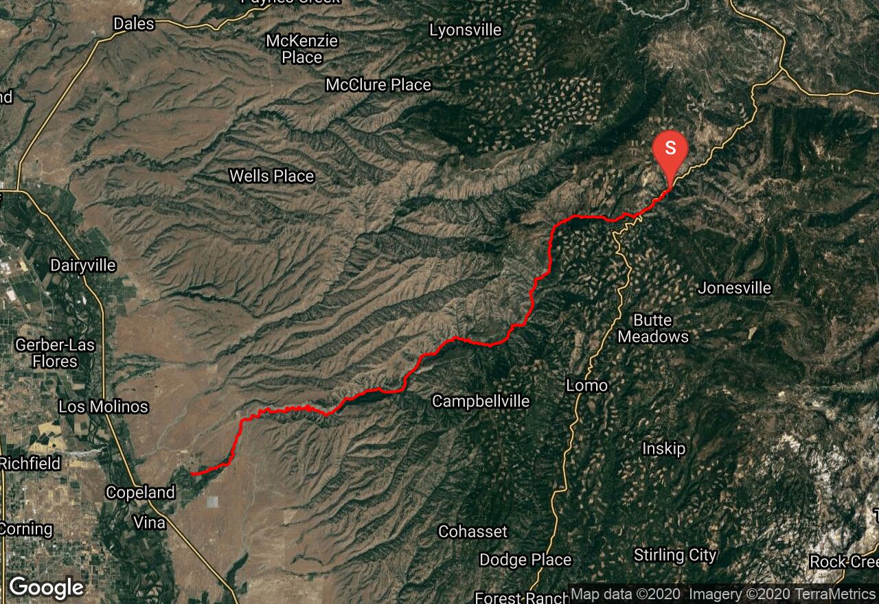
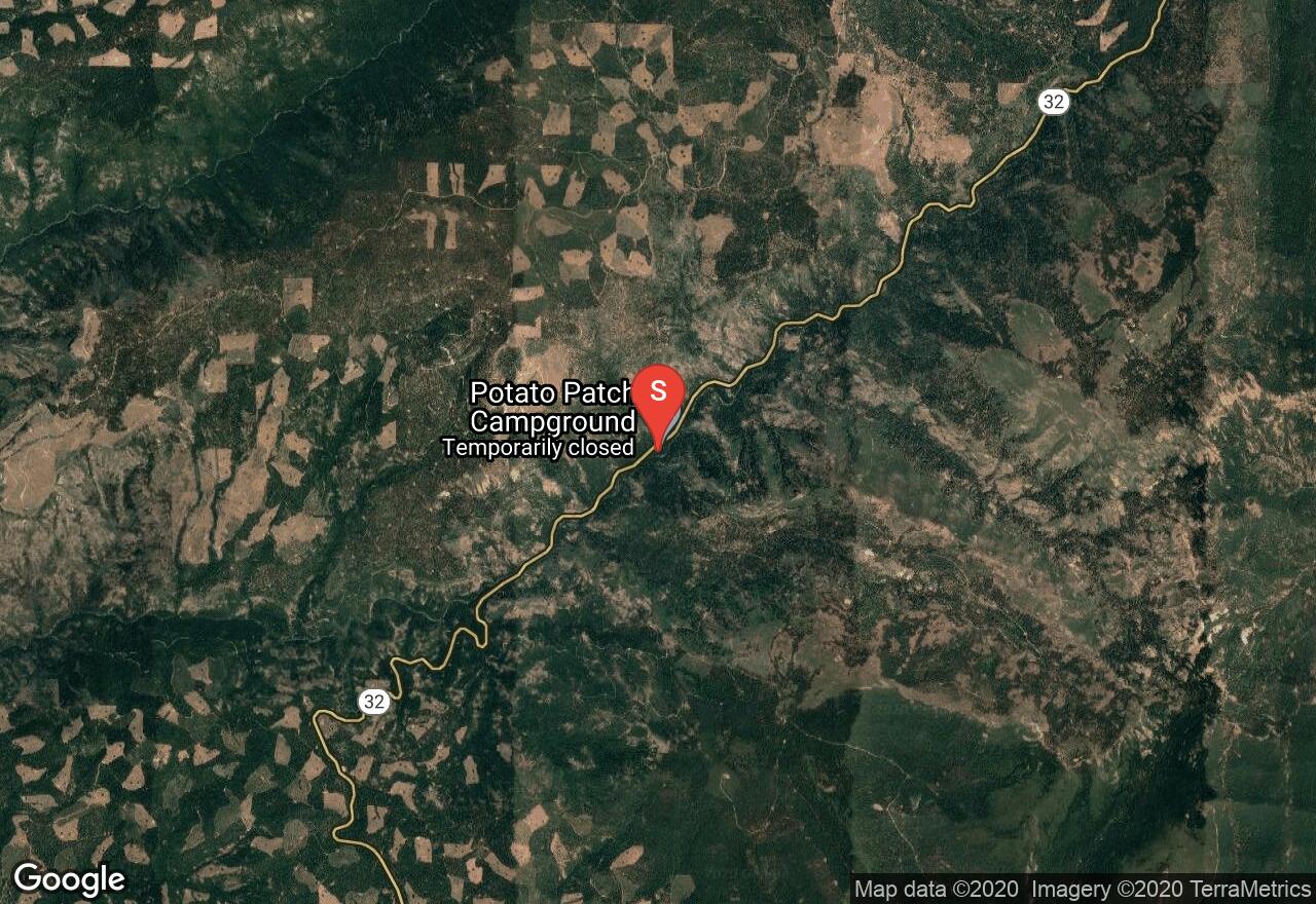
Deer Creek is 40 miles of Class IV and V rapids with several steep drops as it meanders through a narrow canyon and steep sided walls, offering amazing scenery from beginning to end. This trip is generally done as a multi-day trip. Contact Lassen National Forest for information on required camping permits. If you do not want to do the entire 40 mile run of both upper and lower Deer Creek, take out or put in at Poderosa Way Bridge instead. At mile 18 the stream becomes braided; be cautious of strainers in this area. There is one portage at Fishladder Falls (mile 2.5).
2 photos
Get the app

