617
Talladega County, Alabama
Uploaded by Bivy Team
00 :38 hrs
3.4 mi
374 ft
Unknown
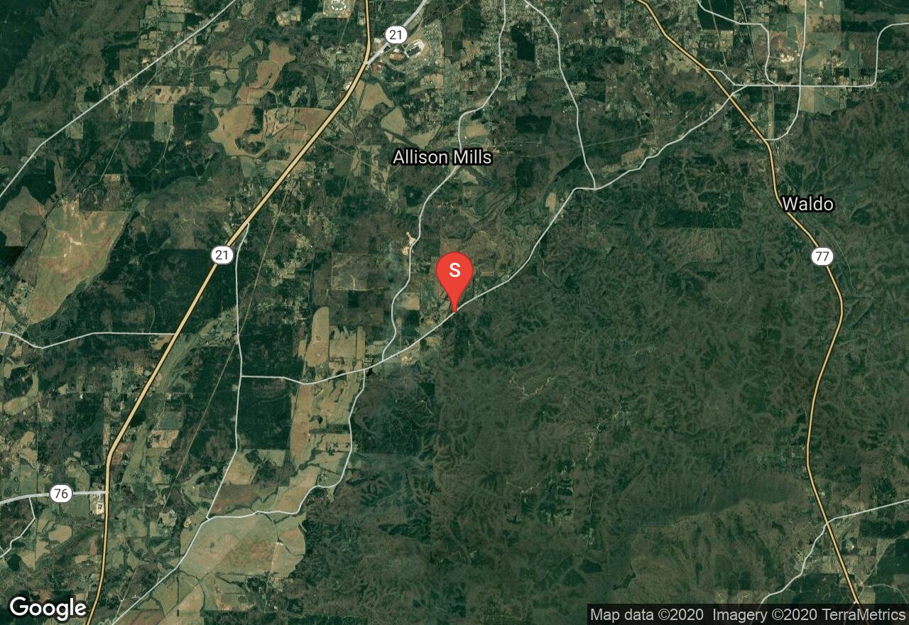
Located in the northwest border of the Talladega National Forest, this trail is mostly gravel or a single lane dirt road. You’ll pass through different types of forest. When dry the road is easy but after rainfall, it becomes muddy and rutted requiring 4WD. It is open year-round but may be closed during wildfires or prescribed burns.
2 photos
[{"url":"https://images.bivy.com/lgMap/5210963377651712.jpg"},{"url":"https://images.bivy.com/lgTrailMap/5210963377651712.jpg"}]
617 | Talladega County, Alabama
Located in the northwest border of the Talladega National Forest, this trail is mostly gravel or a single lane dirt road. You’ll pass through different types of forest. When dry the road is easy but after rainfall, it becomes muddy and rutted requiring 4WD. It is open year-round but may be closed during wildfires or prescribed burns.


